About The Project
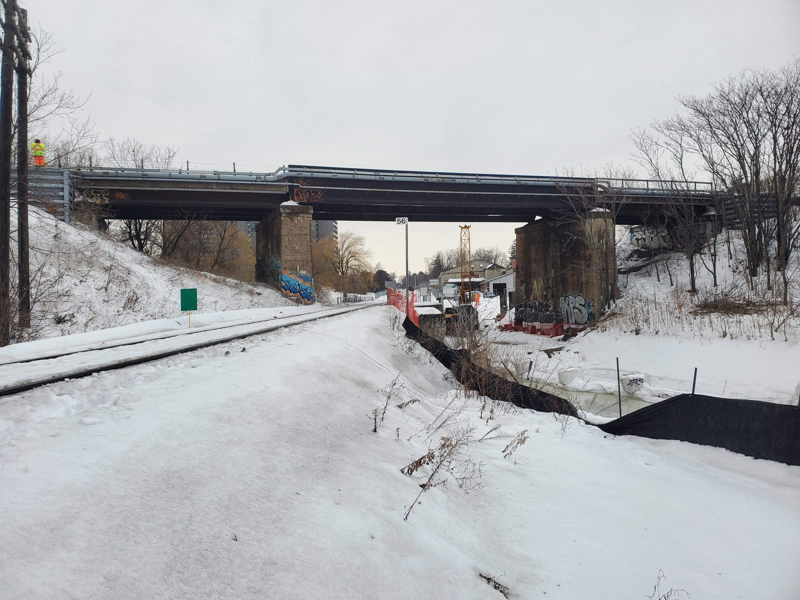
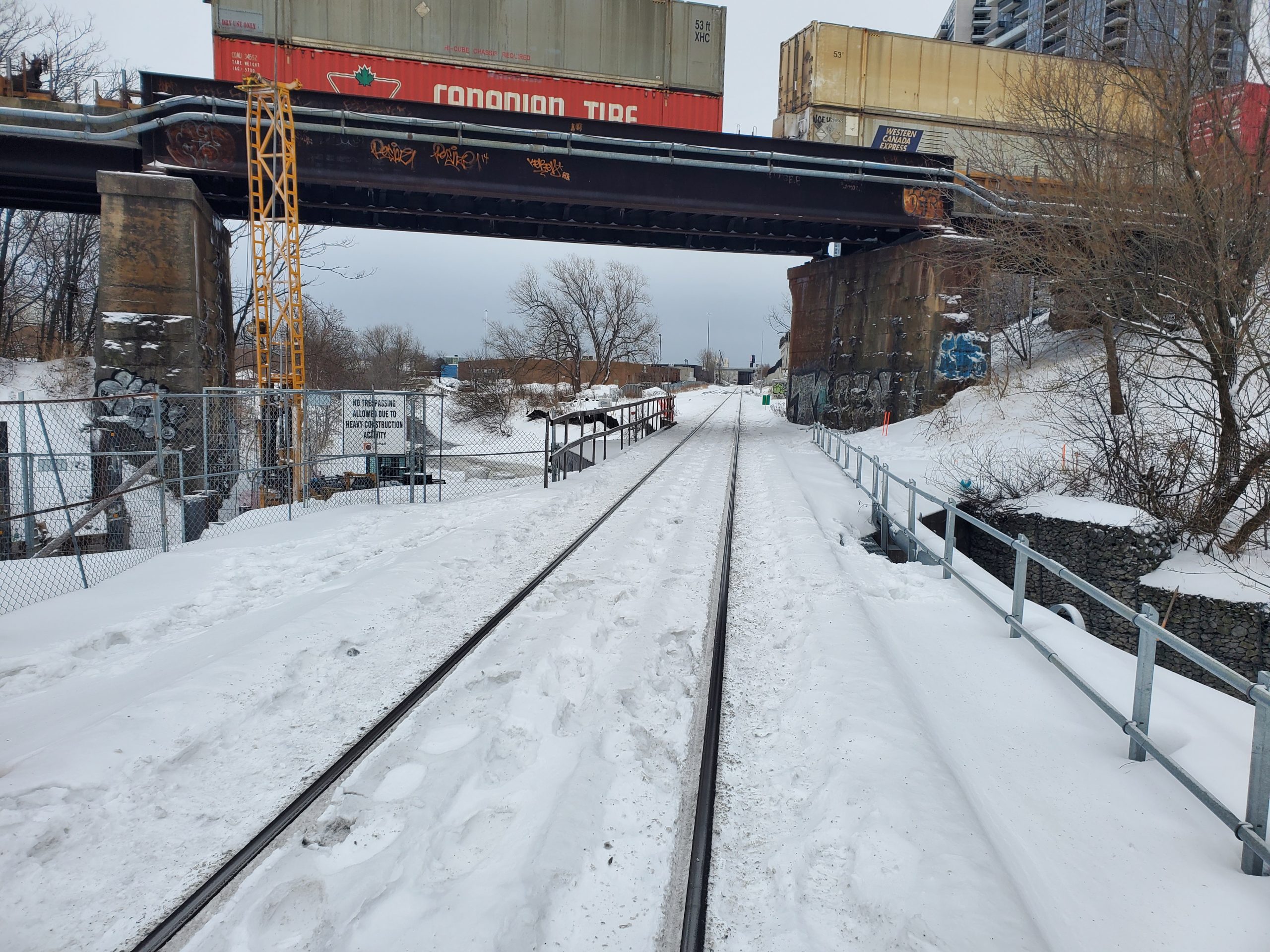
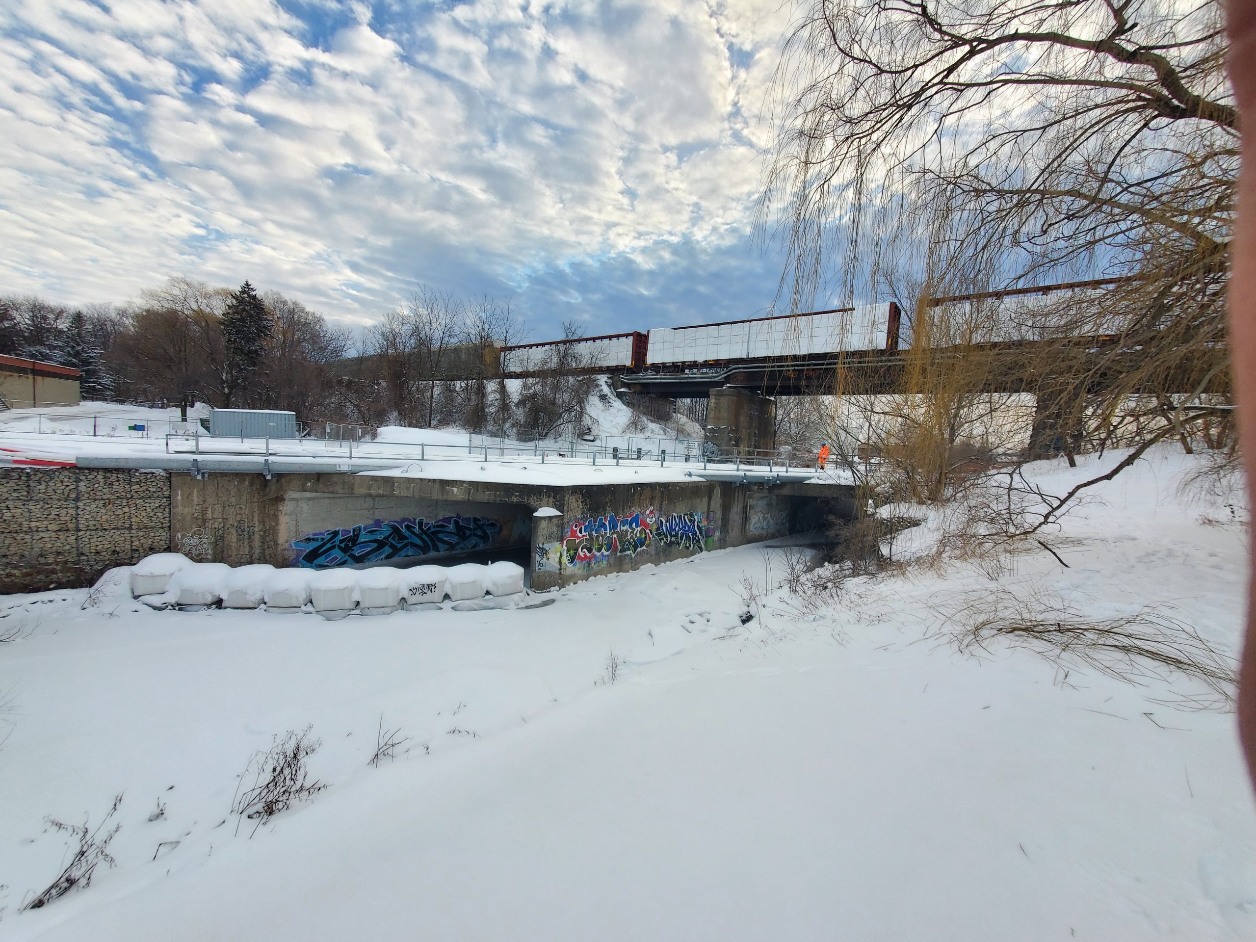
Topographic survey of CP Belleville bridge passing over Metrolinx Uxbridge Subdivision at Mi. 56.00 (Scarborough).
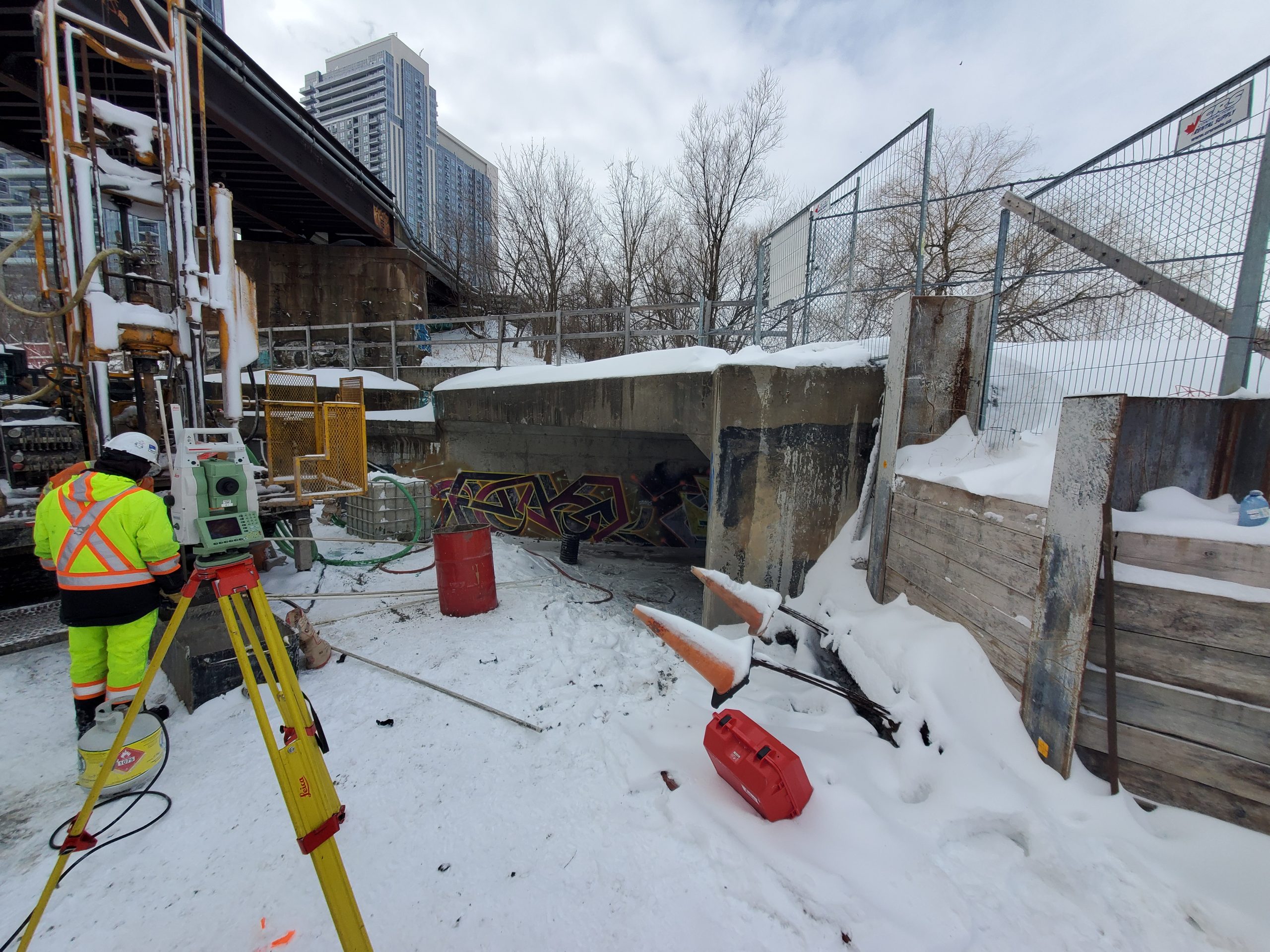
On the CP corridor, surveyors captured top of rail and top of bridge features. On the Metrolinx corridor below, further structural details were captured on the underside of the bridge (clearances, piers, abutment geometry, etc.) in addition to a full topo survey of ~200m of the corridor.
Though parts of the site were still snowed in following January’s large snow storm, the survey crews were able to dig out and access the required areas to capture survey features.
Services Provided

GPS/Total Station
Our field teams use Leica robotic Total Stations, Leica, Trimble, and Topcon GNSS units and Leica DNA03 digital levels to provide a wide range of services for projects of any size; includes topographical surveys, construction layout, control networks, deformation monitoring, site volume calculations, as-built surveys and much more.
