About The Project
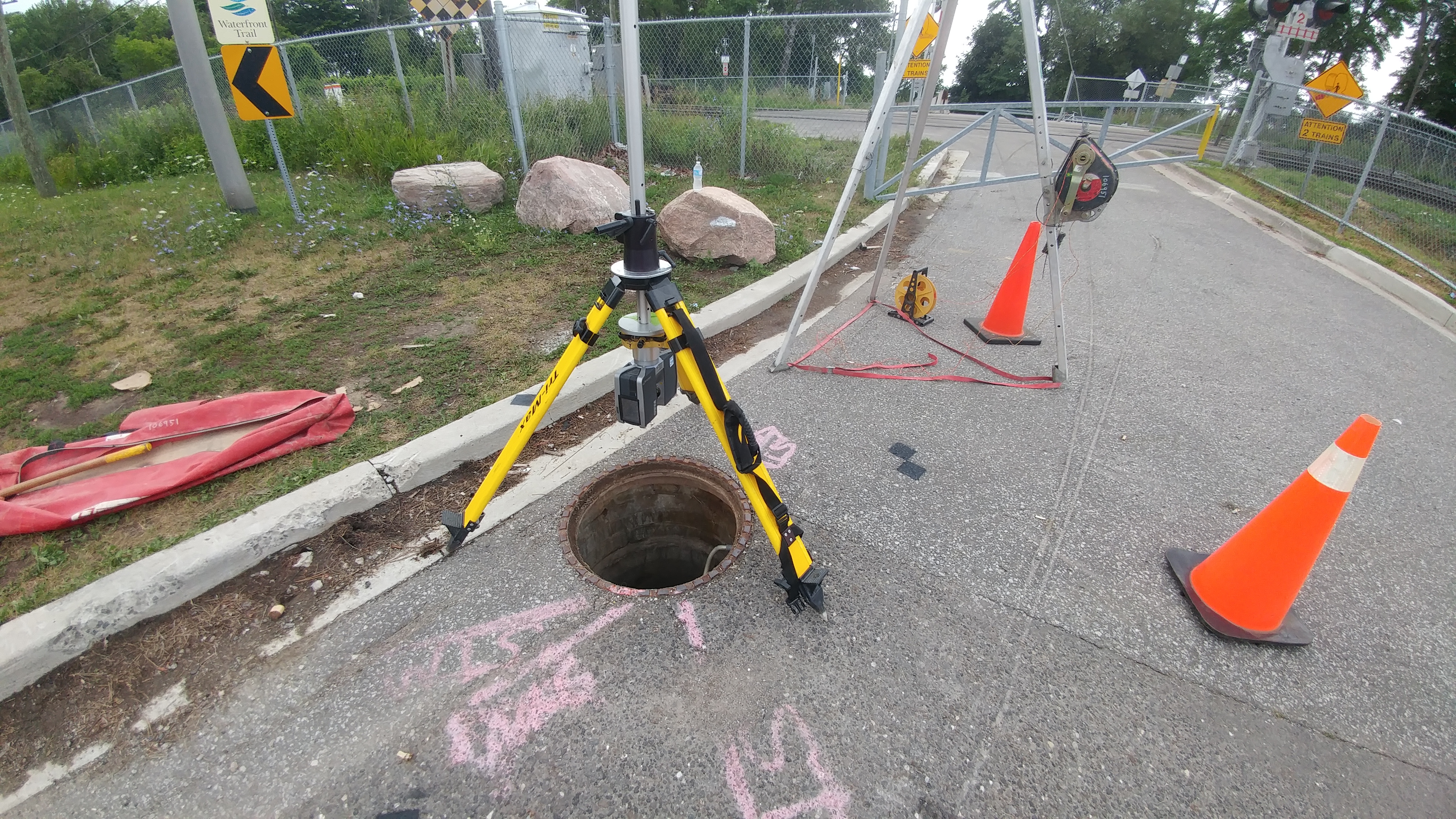
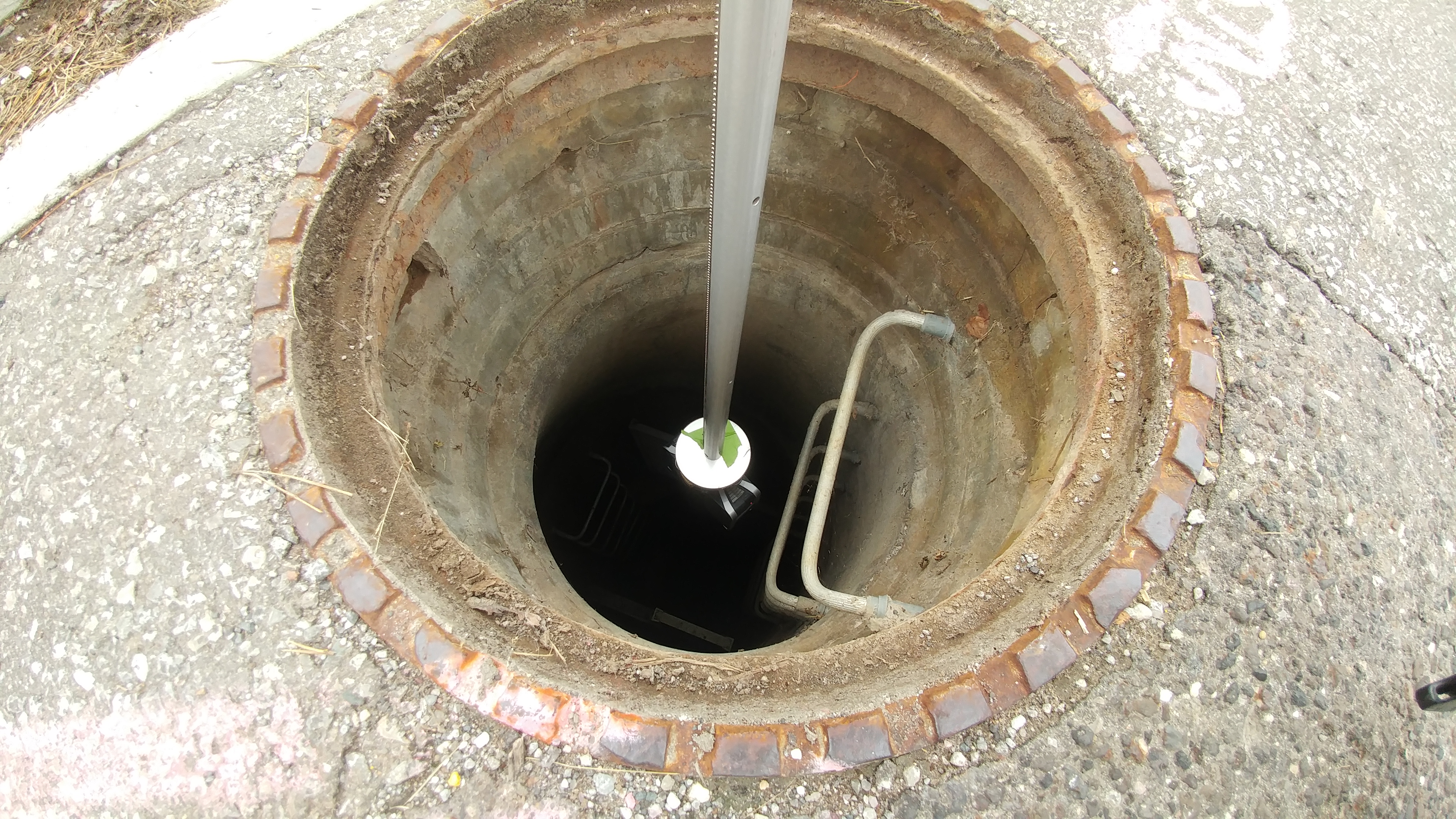
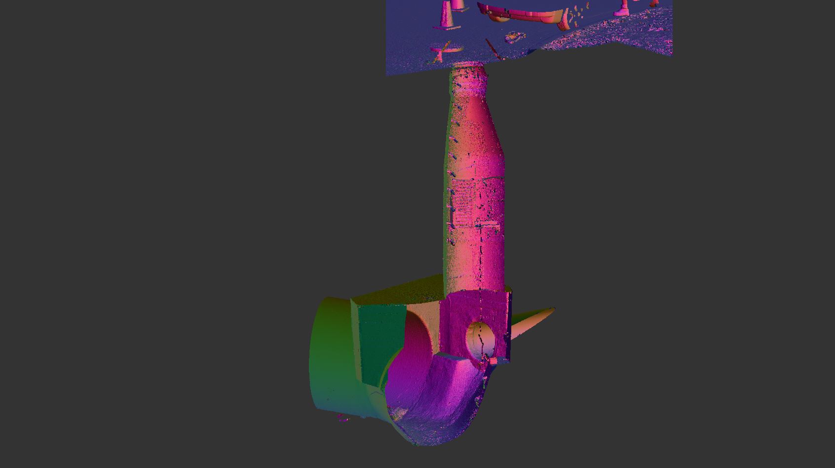
This project used Lidar scanning to obtain measurements of a ~7m deep manhole near Rouge Hill GO Station (Scarborough, ON).
CADD linework was completed to outline all changes in shape through the manhole structure. Information for pipe inverts within the sewer, as well as platform elevations in the chamber, were also provided.
Services Provided

3D Laser Scanning
With scanning, we provide our clients with a fast and easy solution to gather large quantities of information with a high degree of accuracy. Using the 3D laser scanner to gather point cloud data that contains both location and RGB information makes it easy for Groma’s customers to dimension and display cross sections. Point clouds are easily imported into AutoCAD or can be dimensioned right on the web using online tools.
