About The Project
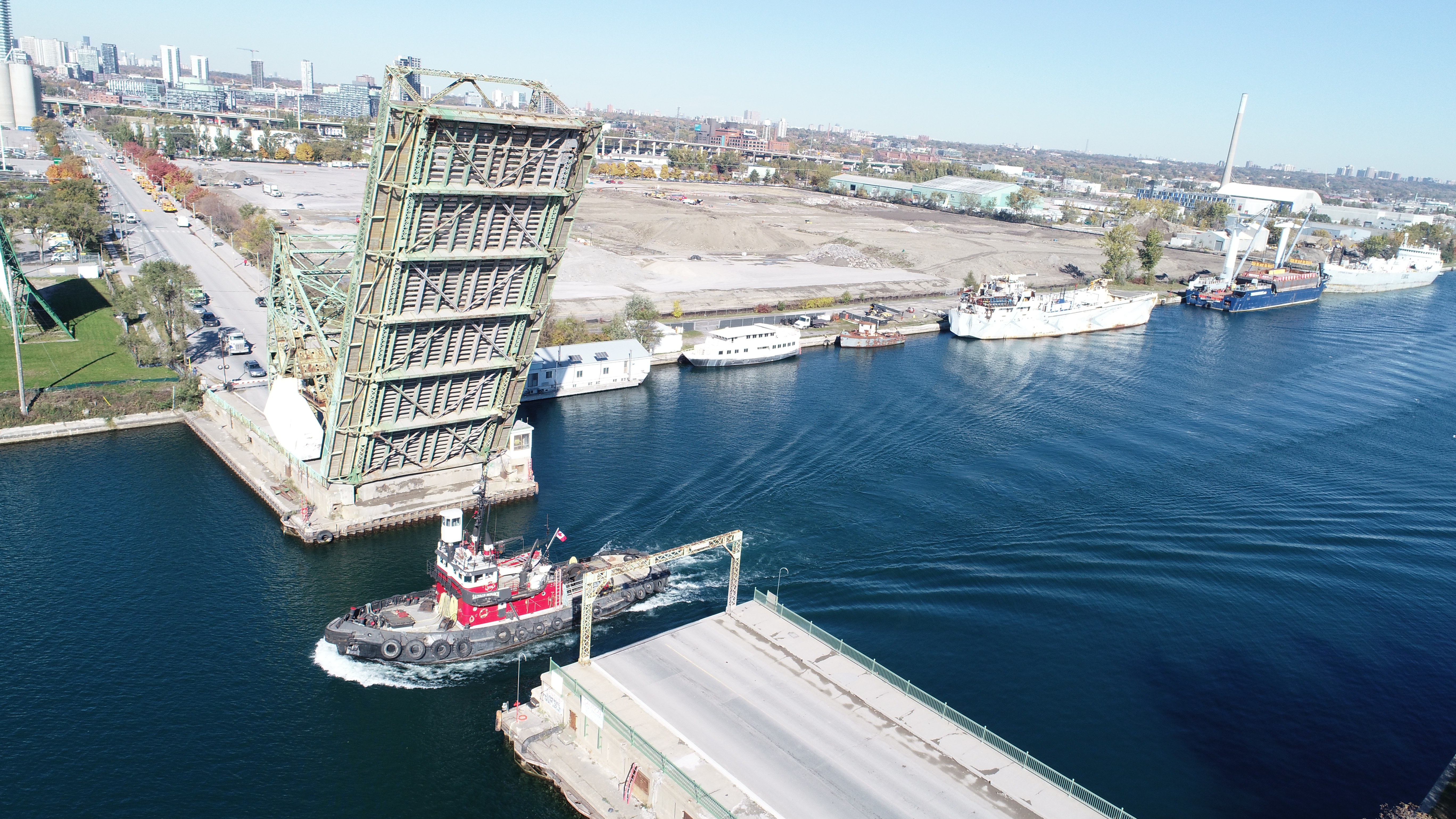
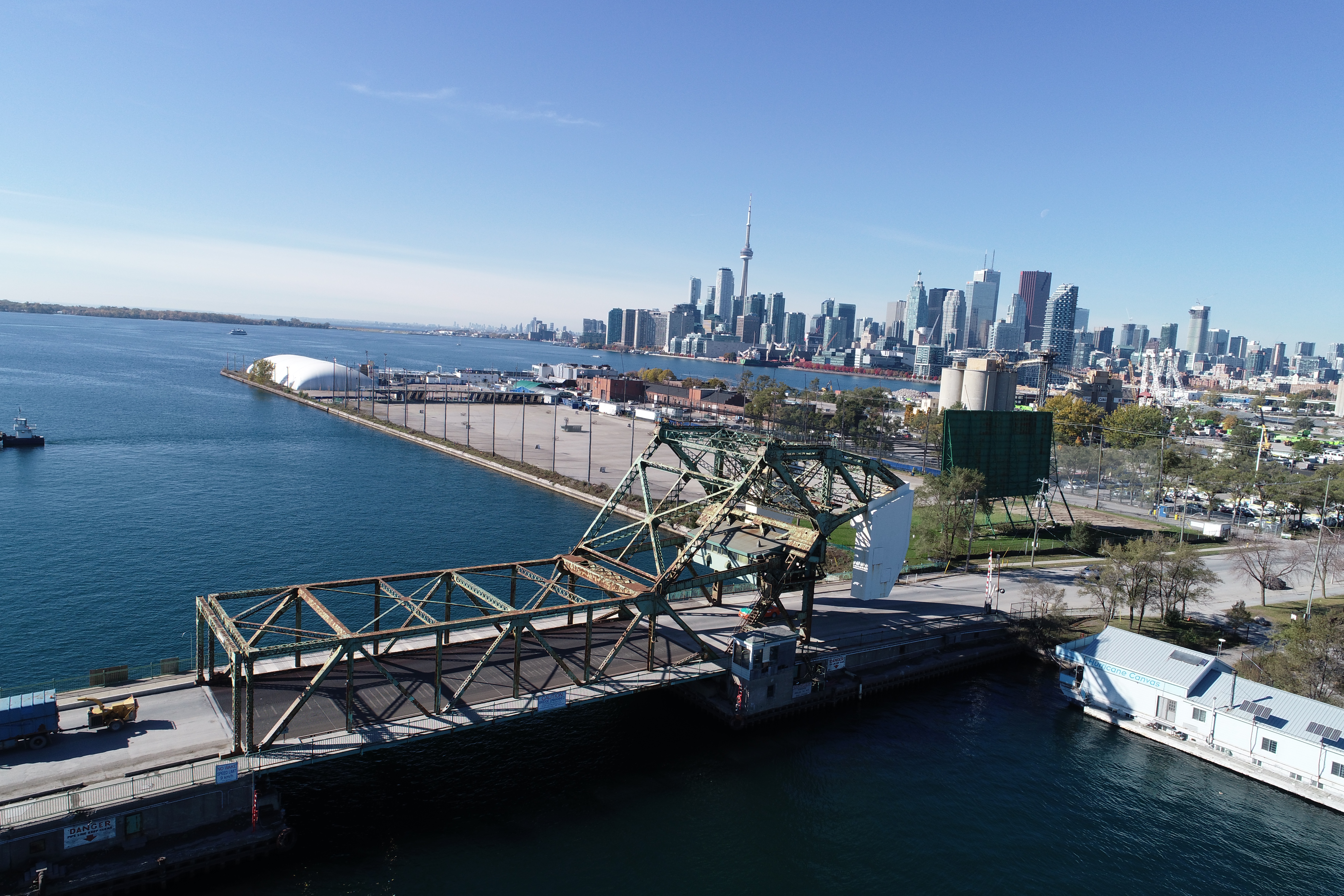
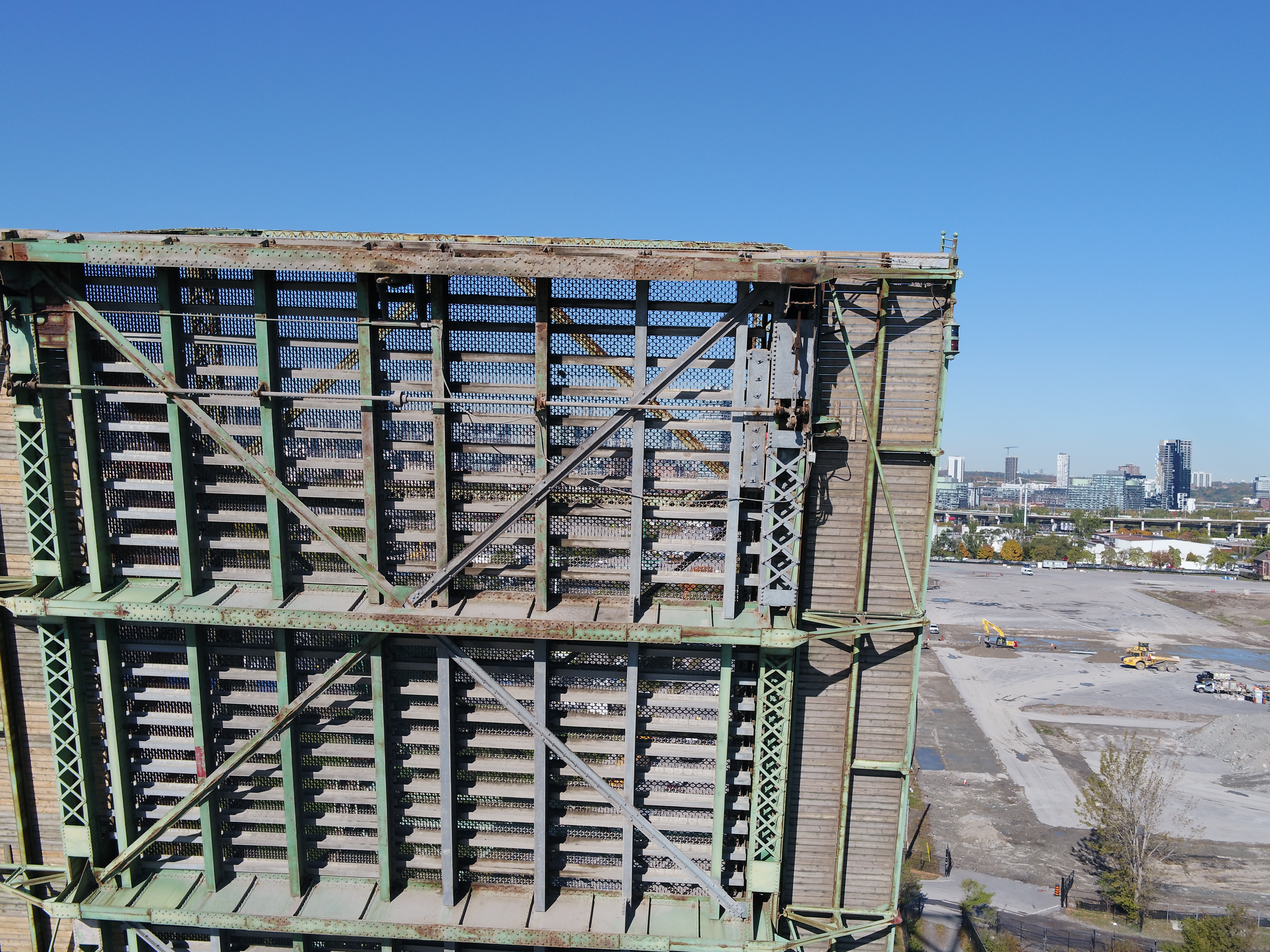
Performed a drone flight to inspect the bridge structure and to document areas with excessive corrosion.
Typically, a barge would need to be brought in under the bridge and scissor lifts would be required to inspect the bridge structure.
With the drone flight, we were able to quickly obtain detailed photos of the bridge and we were able to provide the photos to the client on site.
Services Provided

Aerial Drone Surveying
Using unmanned fixed-wing and rotorcraft we can provide economical ways to perform aerial surveys. Our drones can be launched and sent to remote or hazardous locations to gather survey data or perform visual inspections. Using LiDAR techniques, the data can be used to provide geo-referenced results in a variety of formats.
