About The Project
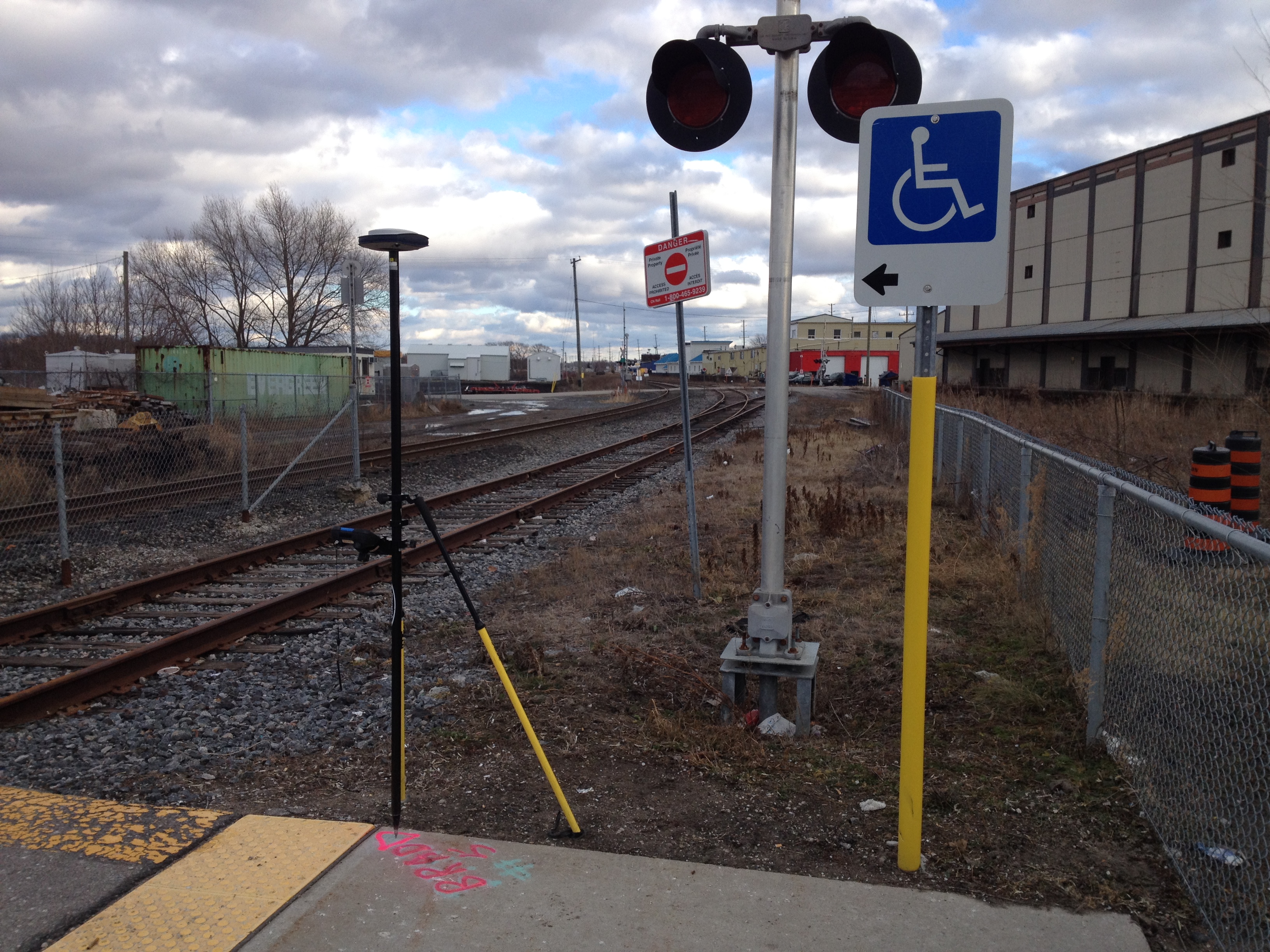
Topographic survey through Bradford GO Station, as well as rail corridor north of station and additional areas around station property (including culverts passing below street and rail corridor). Deliverables included both CADD survey base plans and a DTM surface.
Services Provided

GPS/Total Station
Our field teams use Leica robotic Total Stations, Leica, Trimble, and Topcon GNSS units and Leica DNA03 digital levels to provide a wide range of services for projects of any size; includes topographical surveys, construction layout, control networks, deformation monitoring, site volume calculations, as-built surveys and much more.


