About The Project
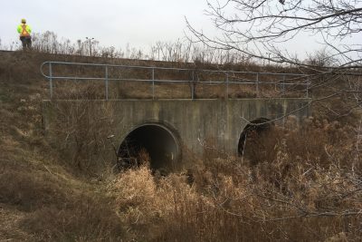
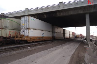
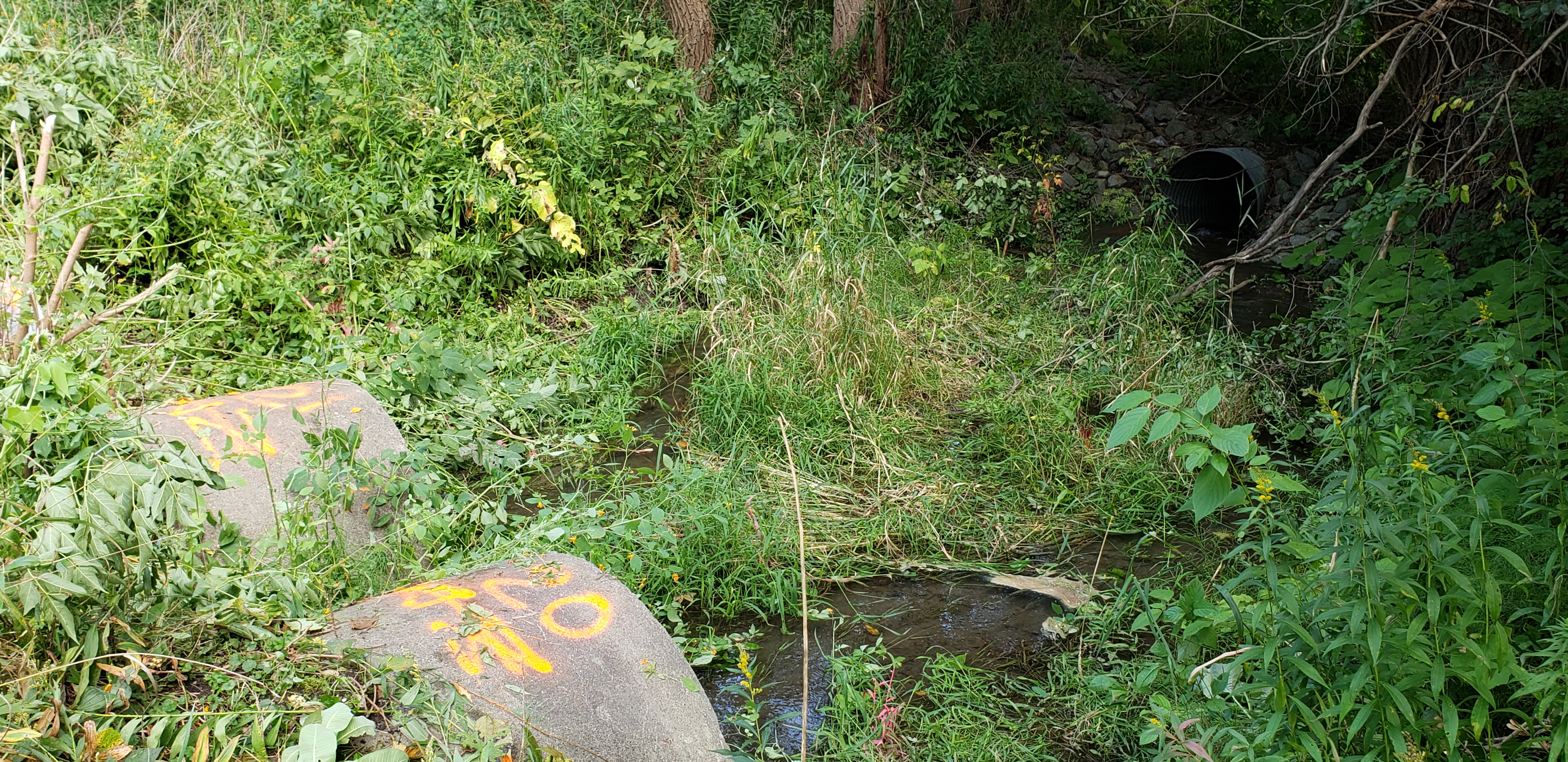
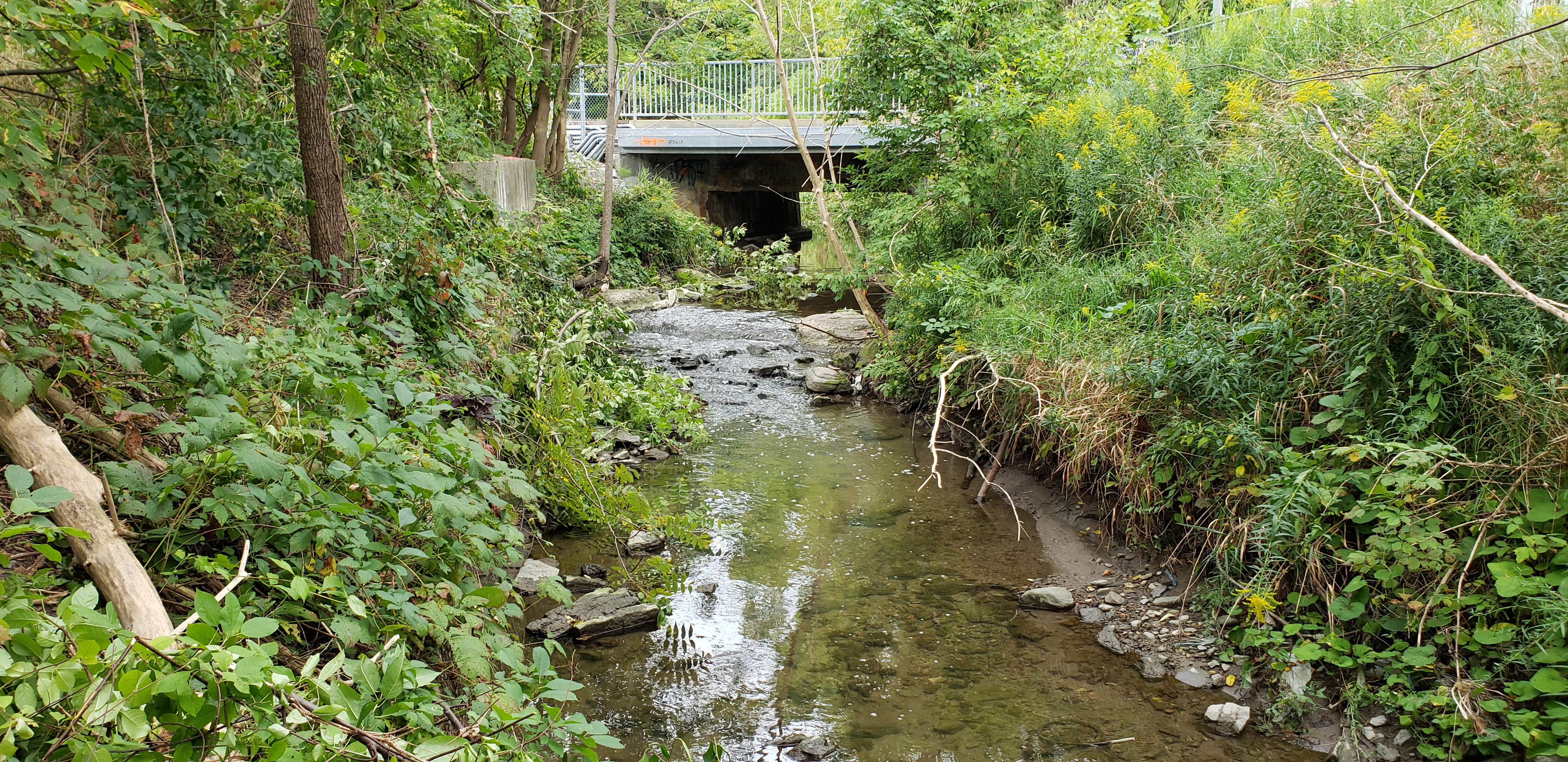
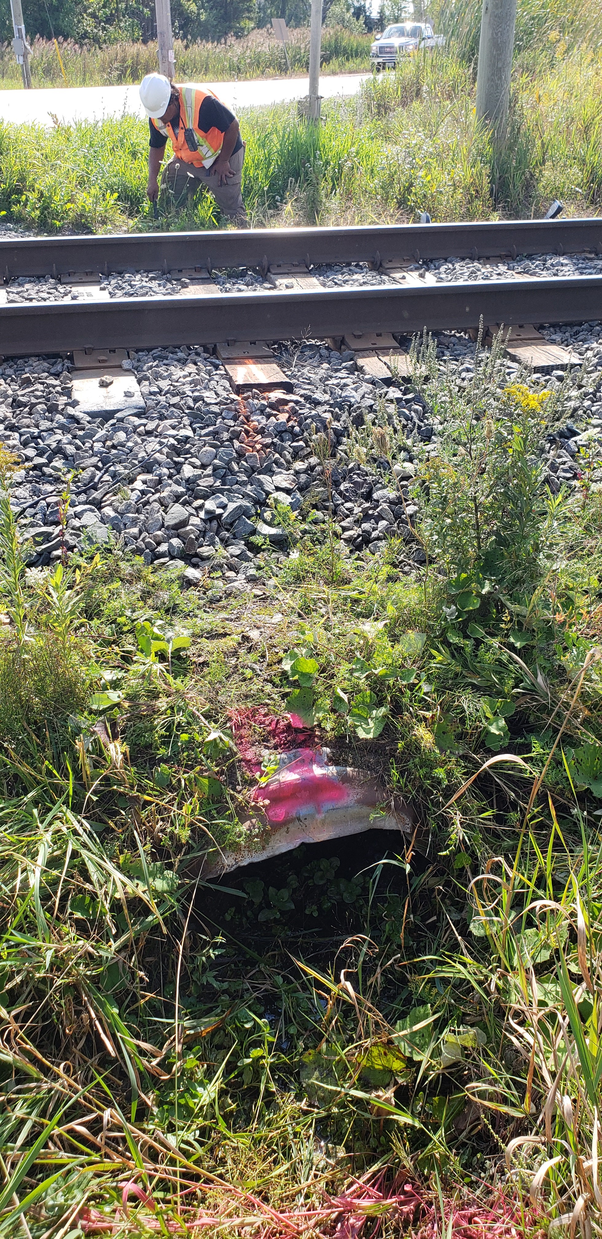
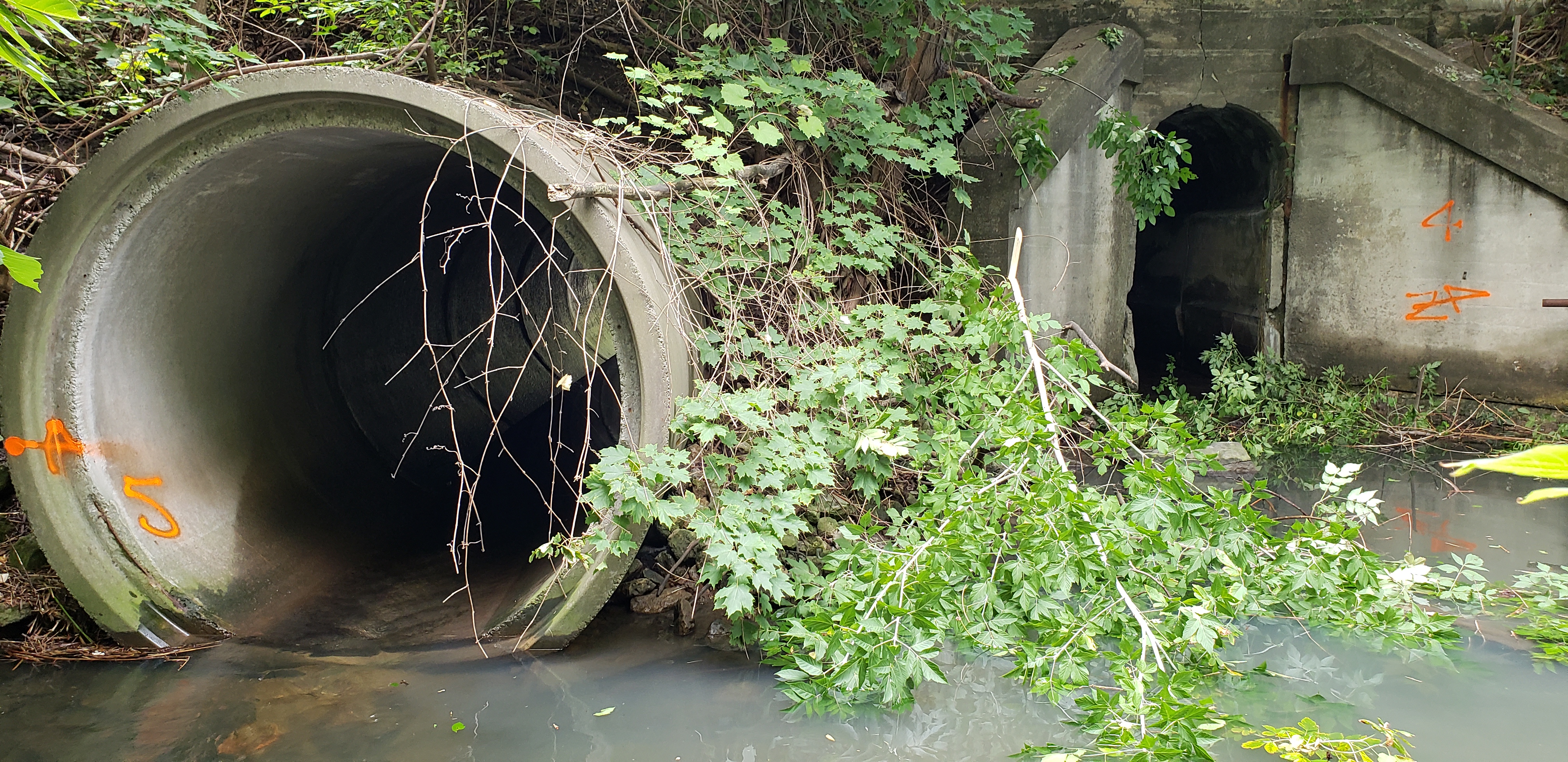
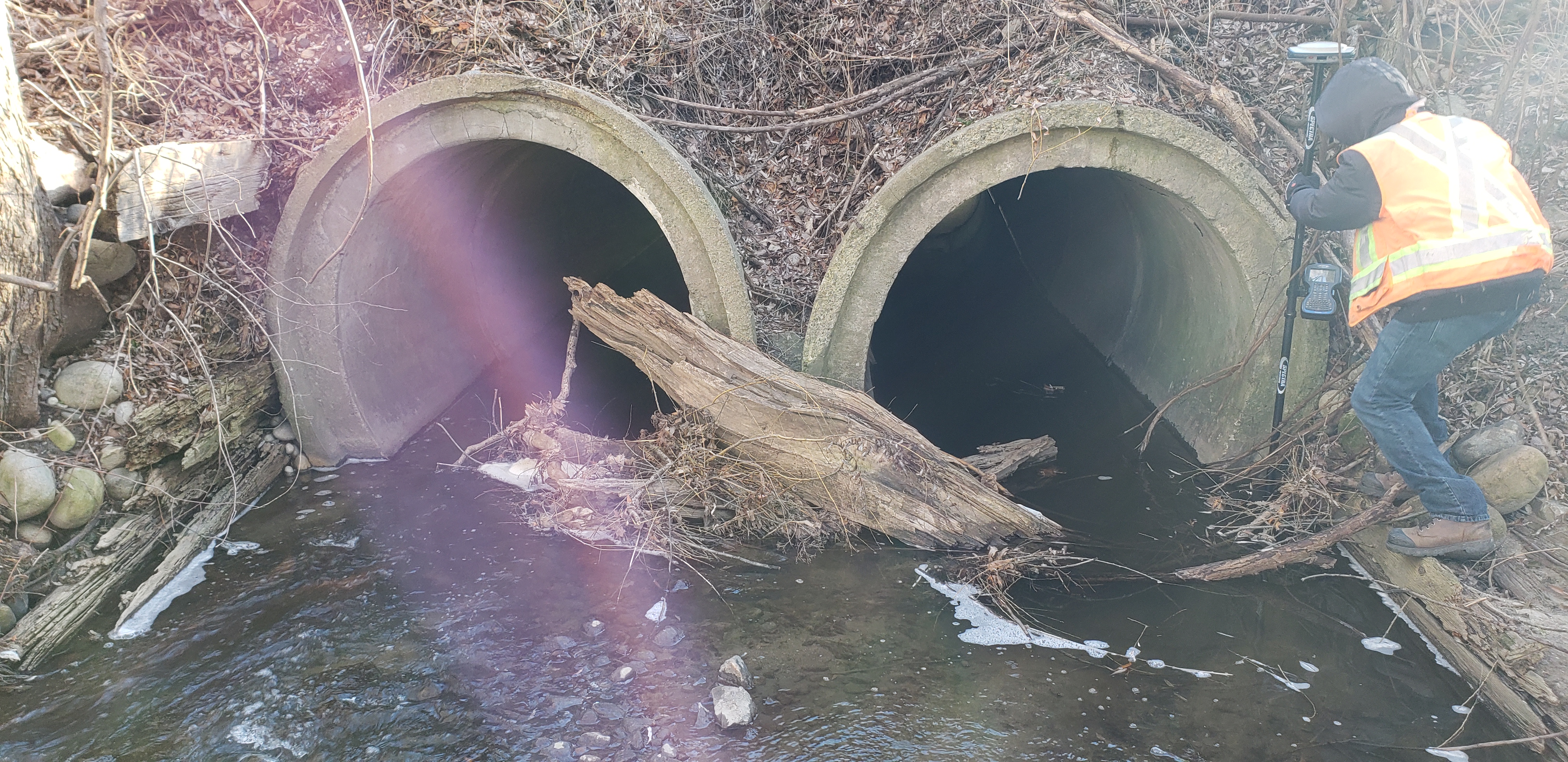
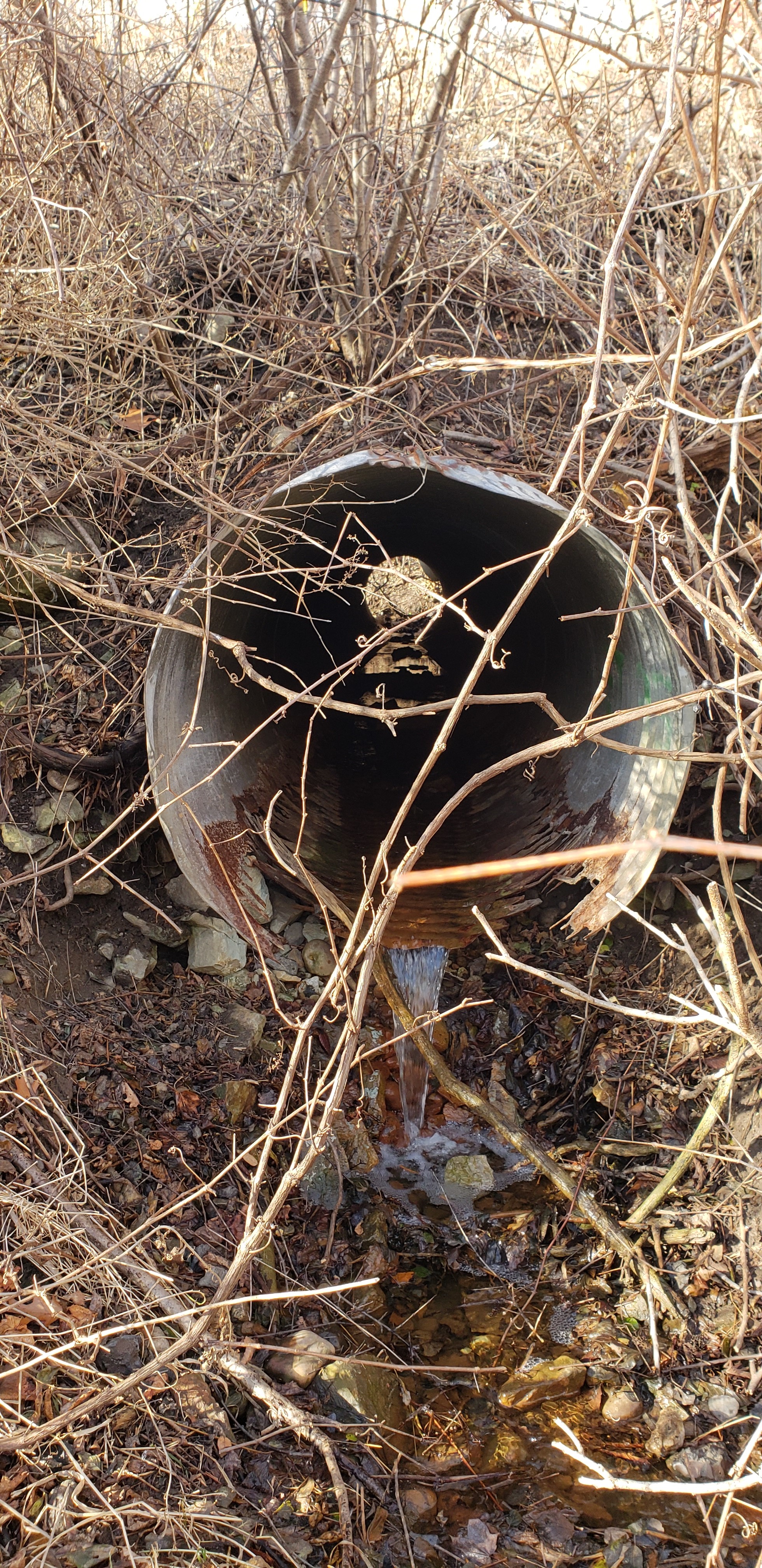
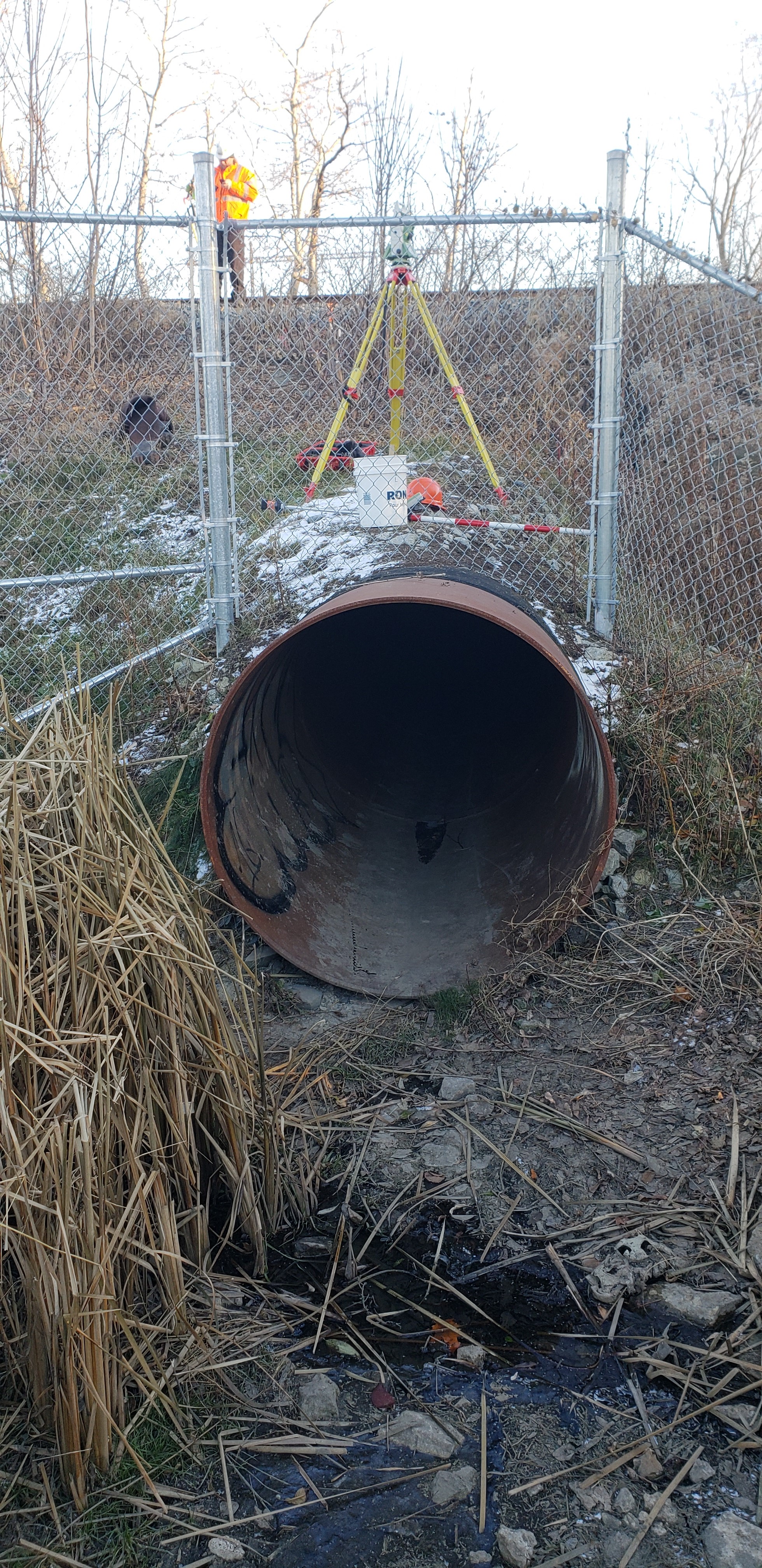
Over 25 culverts on 5 subdivisions (Newmarket-Barrie, Oakville, Bala, Weston and Uxbridge) were surveyed over approximately 4 months using a combination of GPS and total station. Surveys covered the culverts as well as topography on the corridor (varying 30-100m each way based on site conditions). Included on this list were 2 bridges where the tracks pass over a creek.
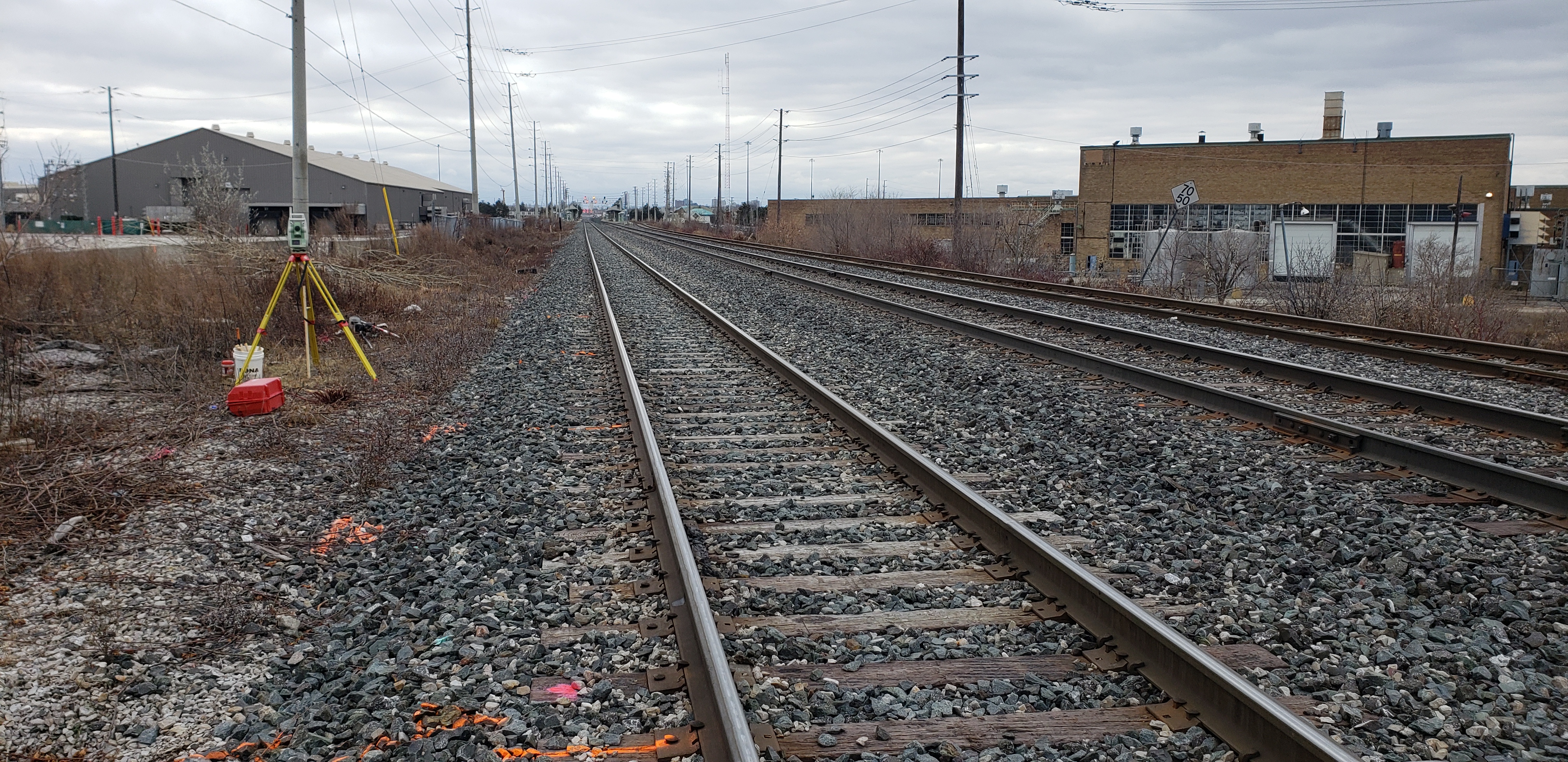
A combination of total station and GPS was used at each location. Elevations were matched to vertical control monuments within close proximity to site.
Survey deliverables included CADD survey plans, survey points, and extensive site photos for each culvert or bridge.
Services Provided

GPS/Total Station
Our field teams use Leica robotic Total Stations, Leica, Trimble, and Topcon GNSS units and Leica DNA03 digital levels to provide a wide range of services for projects of any size; includes topographical surveys, construction layout, control networks, deformation monitoring, site volume calculations, as-built surveys and much more.
