About The Project
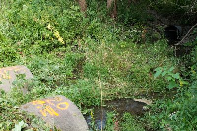
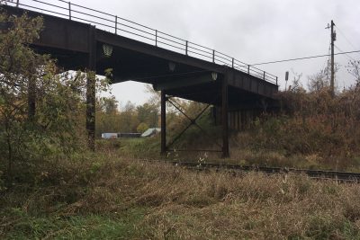
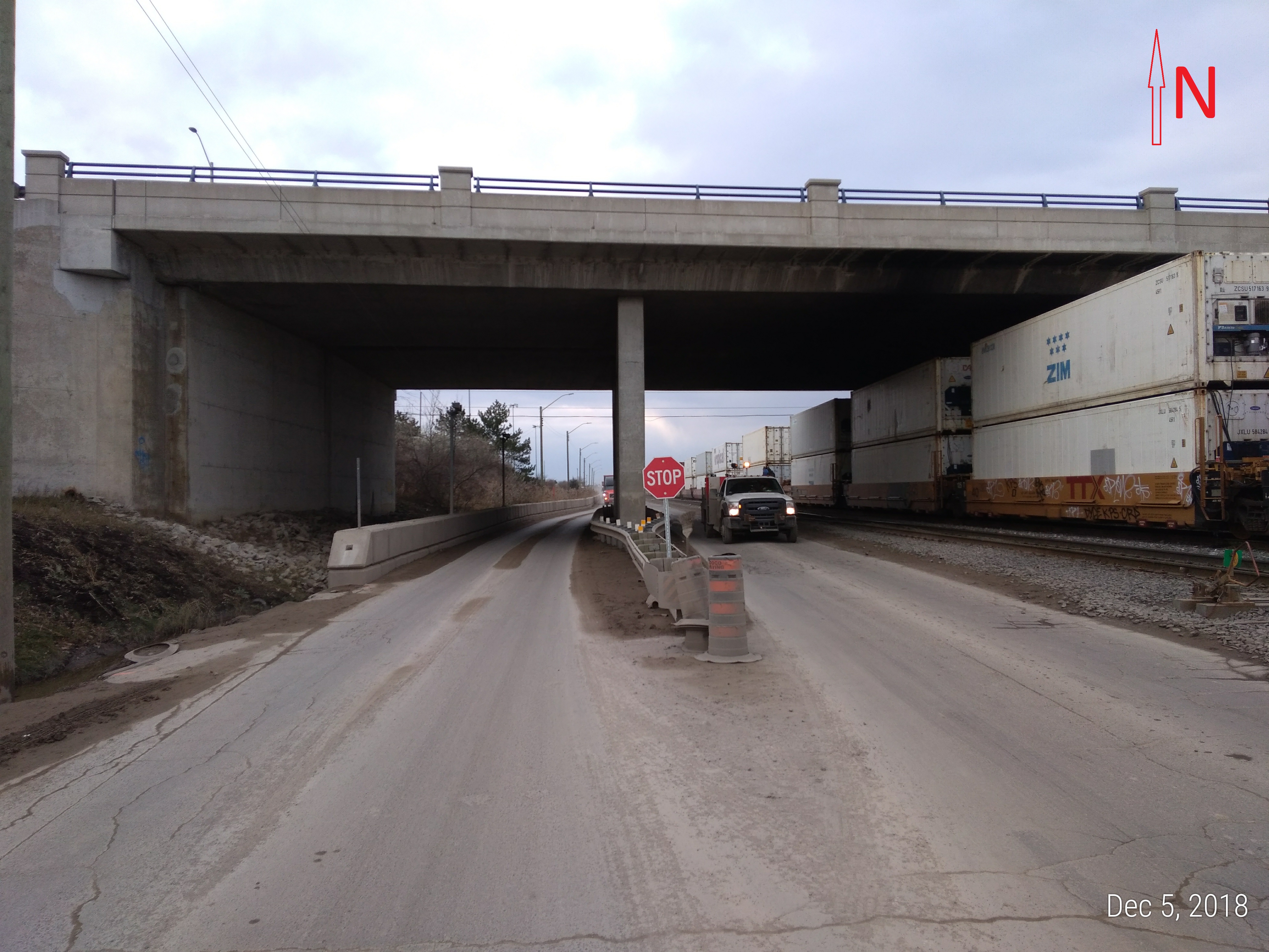
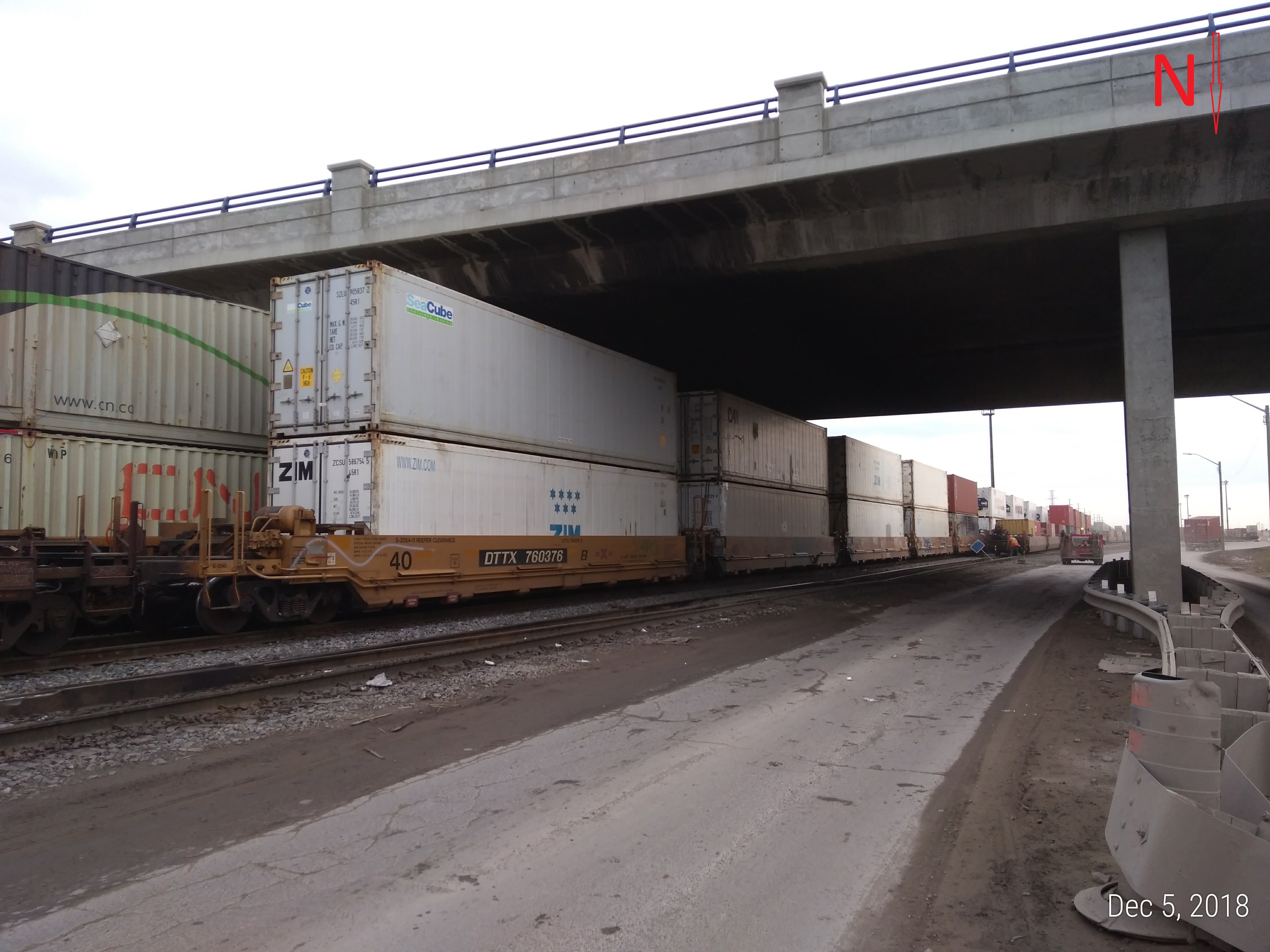
Full topo survey at north end of the CN BIT (Brampton Intermodal Terminal) Yard. This included the ditch south of Queen St. and the west half of the corridor north of Queen St, as well as the underside of the Queen St. bridge.
All work within the yard required CN flagging. Surveyors were able to cover a large area over a 3 day span with mostly GPS.
Services Provided

GPS/Total Station
Our field teams use Leica robotic Total Stations, Leica, Trimble, and Topcon GNSS units and Leica DNA03 digital levels to provide a wide range of services for projects of any size; includes topographical surveys, construction layout, control networks, deformation monitoring, site volume calculations, as-built surveys and much more.
