About The Project
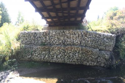
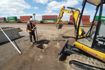
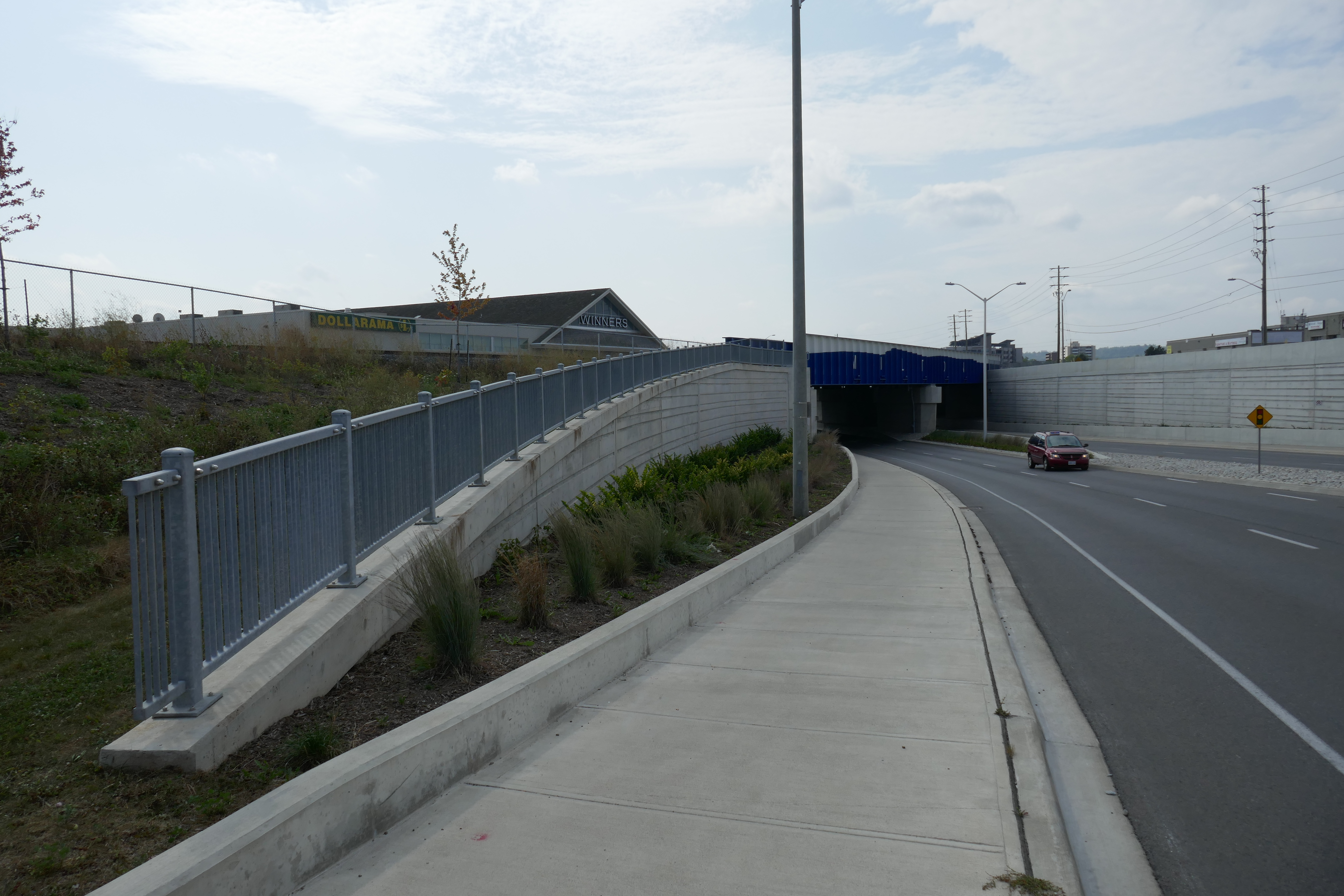
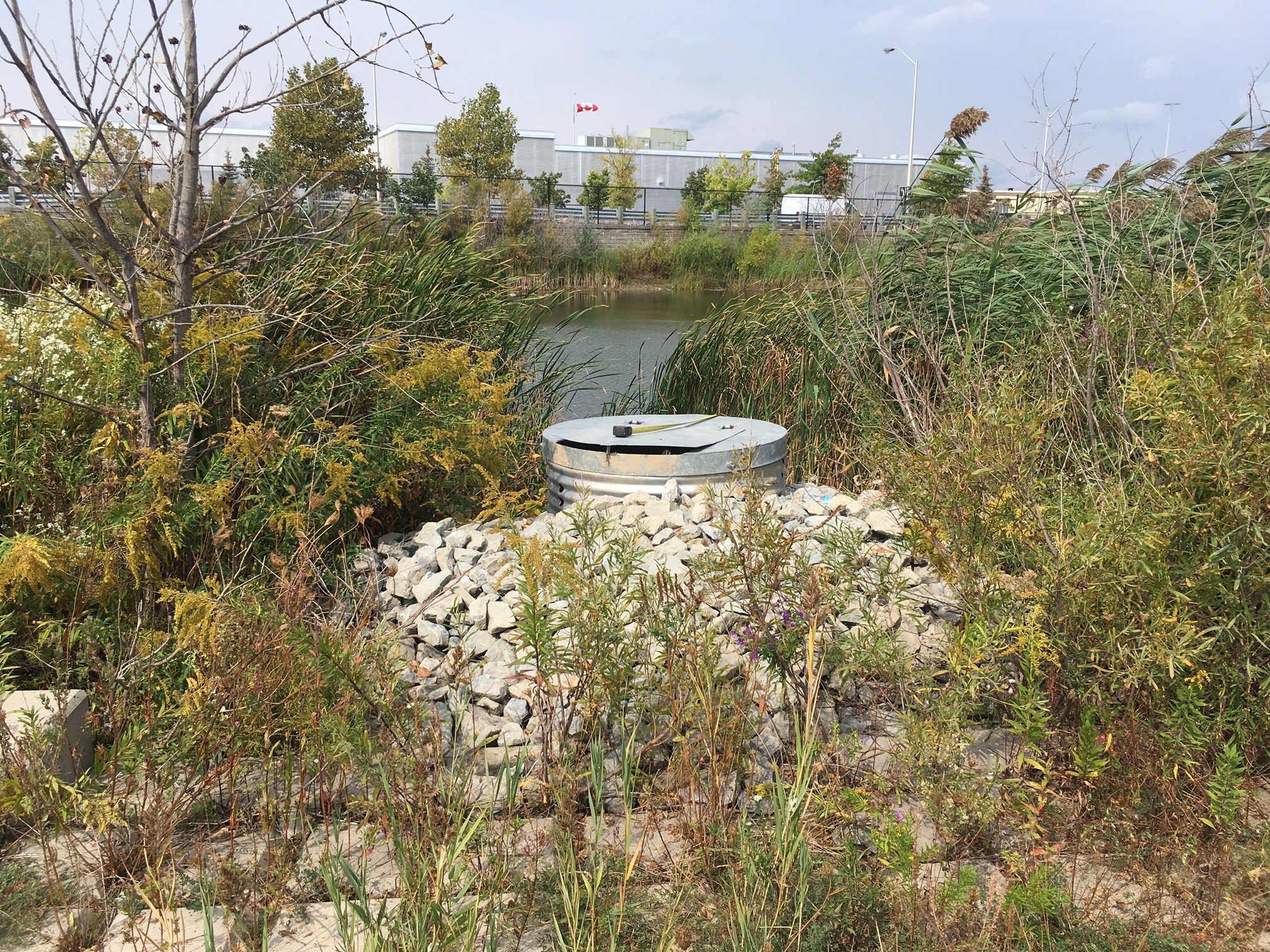
Full topo survey of rail corridor and several off-corridor areas around Milton GO Station.
Corridor survey (Milton Station I) extended from west of Ontario St. to James Snow Parkway. This included the track, platform edges and all track level bridge items. This original scope was completed in July 2017.
We returned in the fall of 2017 to survey areas north and south of corridor, additional areas as directed by the client (Milton Station II).
Both surveys were done with a combination of GPS and total station surveying. Survey base plans and survey points lists were delivered to the client upon completion.
Services Provided

GPS/Total Station
Our field teams use Leica robotic Total Stations, Leica, Trimble, and Topcon GNSS units and Leica DNA03 digital levels to provide a wide range of services for projects of any size; includes topographical surveys, construction layout, control networks, deformation monitoring, site volume calculations, as-built surveys and much more.
