About The Project
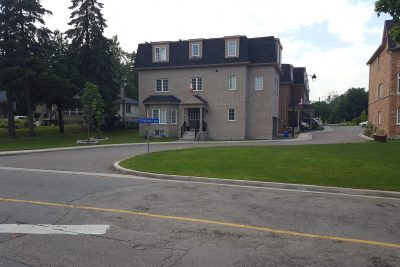
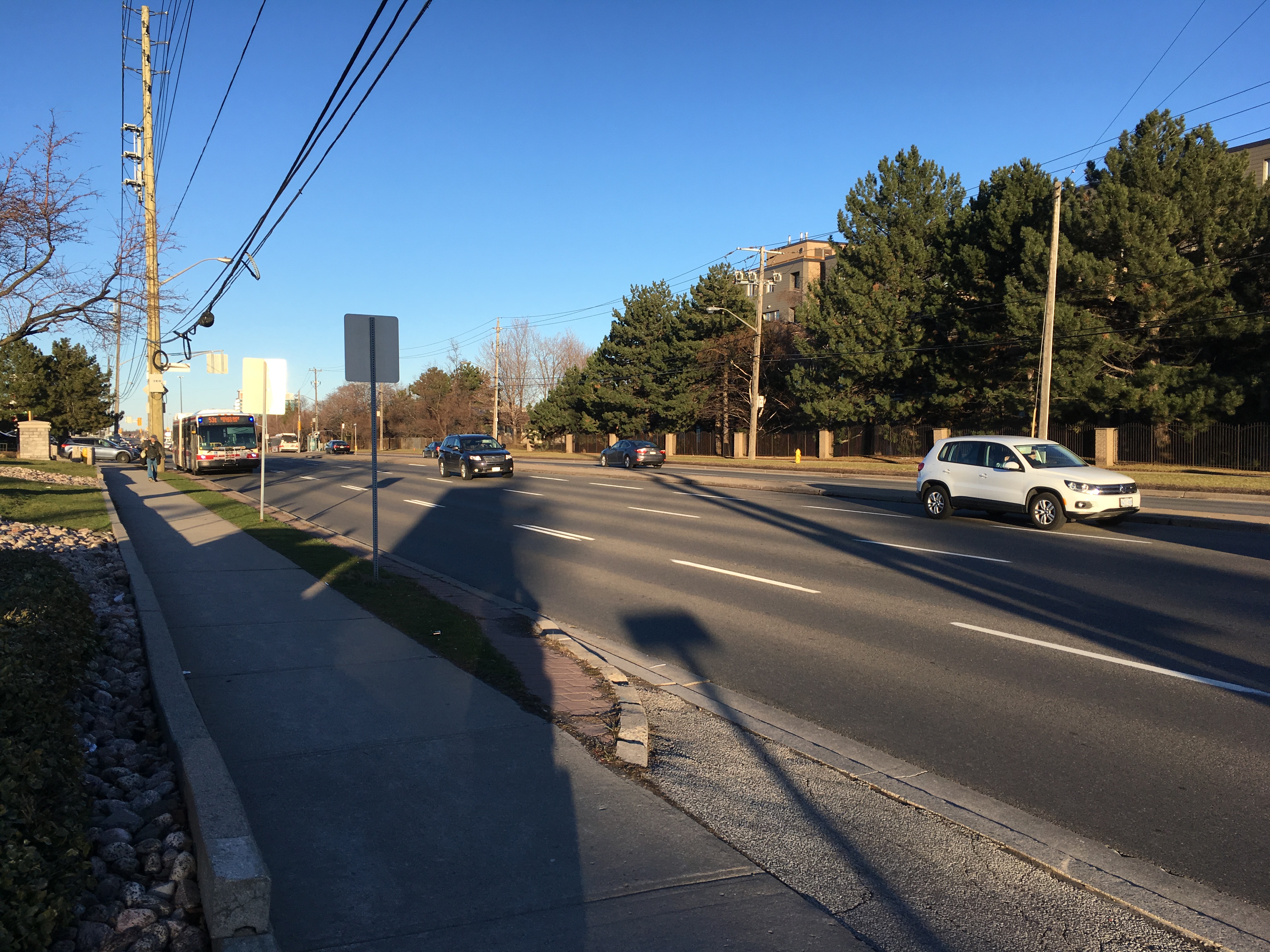
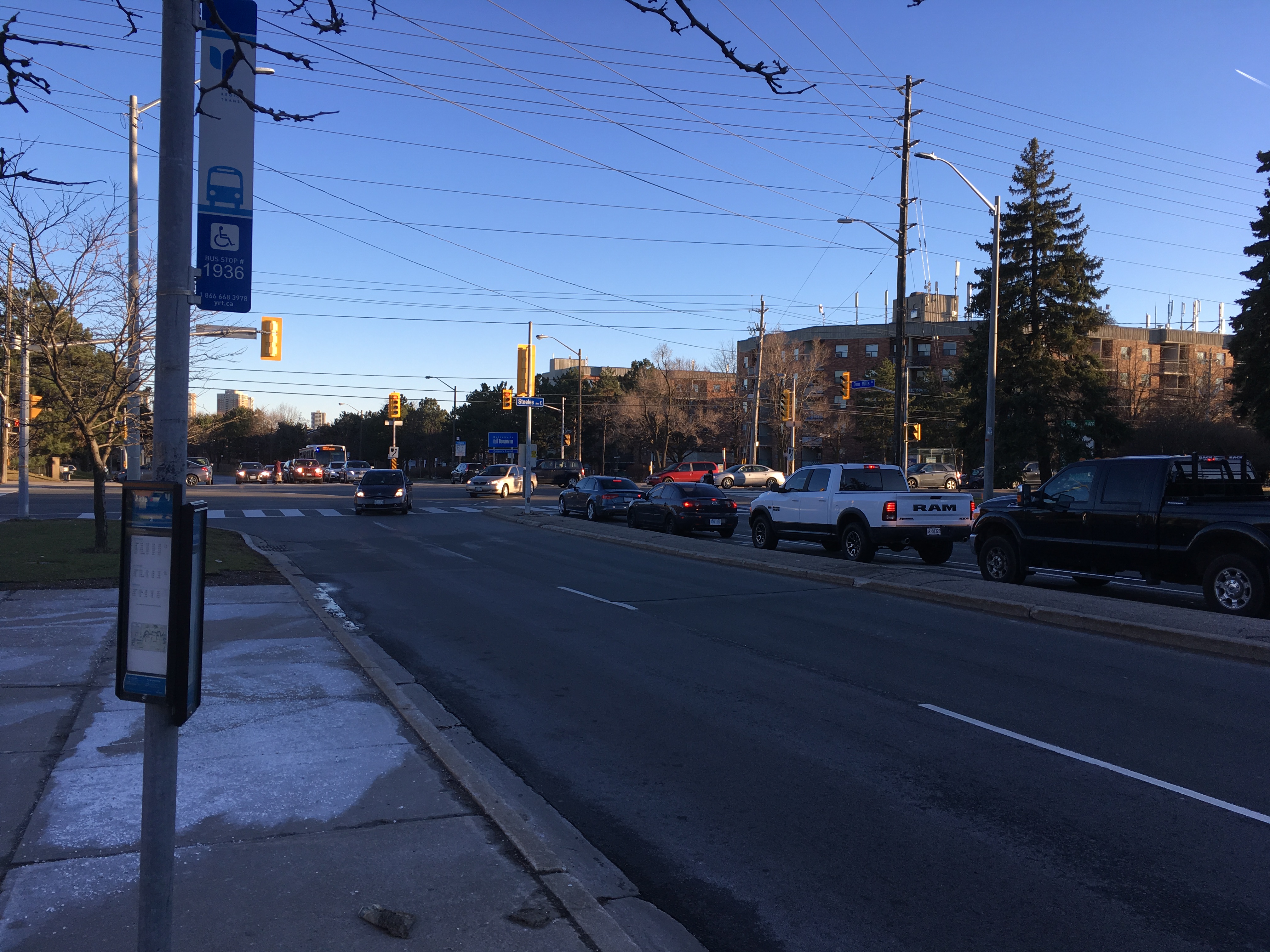
Full topo survey of roadway along Steeles Avenue in Toronto, from east of Don Mills Rd. to west of Edgar Woods Rd. The initial survey was done in March of 2017, with a small additional area around Steeles & Purple Sageway surveyed in August the same year.
All road level items were surveyed, including pavement edges, paint lines, sidewalks and ground-level utility structures. Overhead wires were surveyed through the entire site.
Deliverables for this project included points list and CADD survey plans.
Services Provided

GPS/Total Station
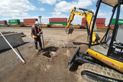
Our field teams use Leica robotic Total Stations, Leica, Trimble, and Topcon GNSS units and Leica DNA03 digital levels to provide a wide range of services for projects of any size; includes topographical surveys, construction layout, control networks, deformation monitoring, site volume calculations, as-built surveys and much more.
