About The Project
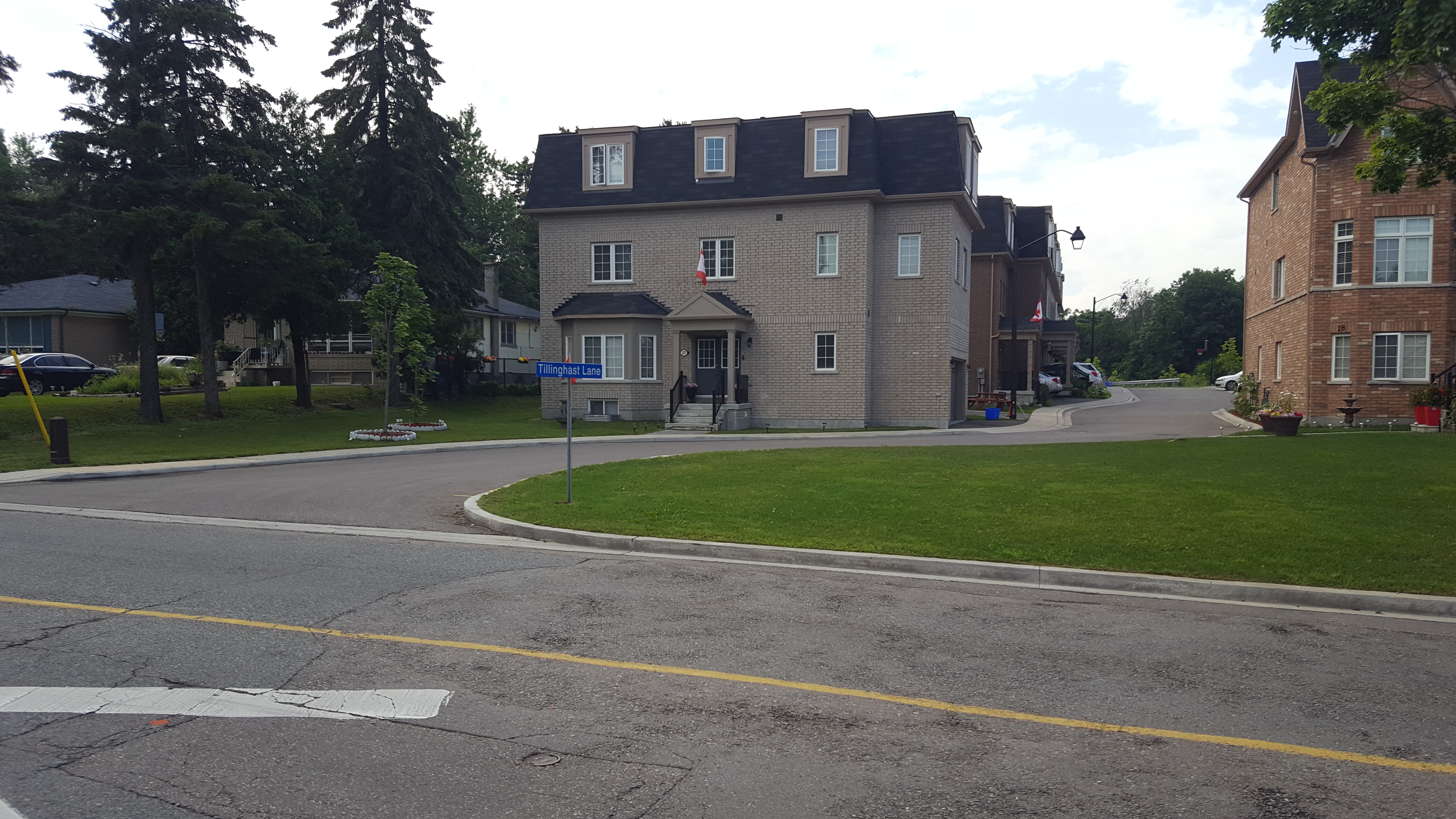
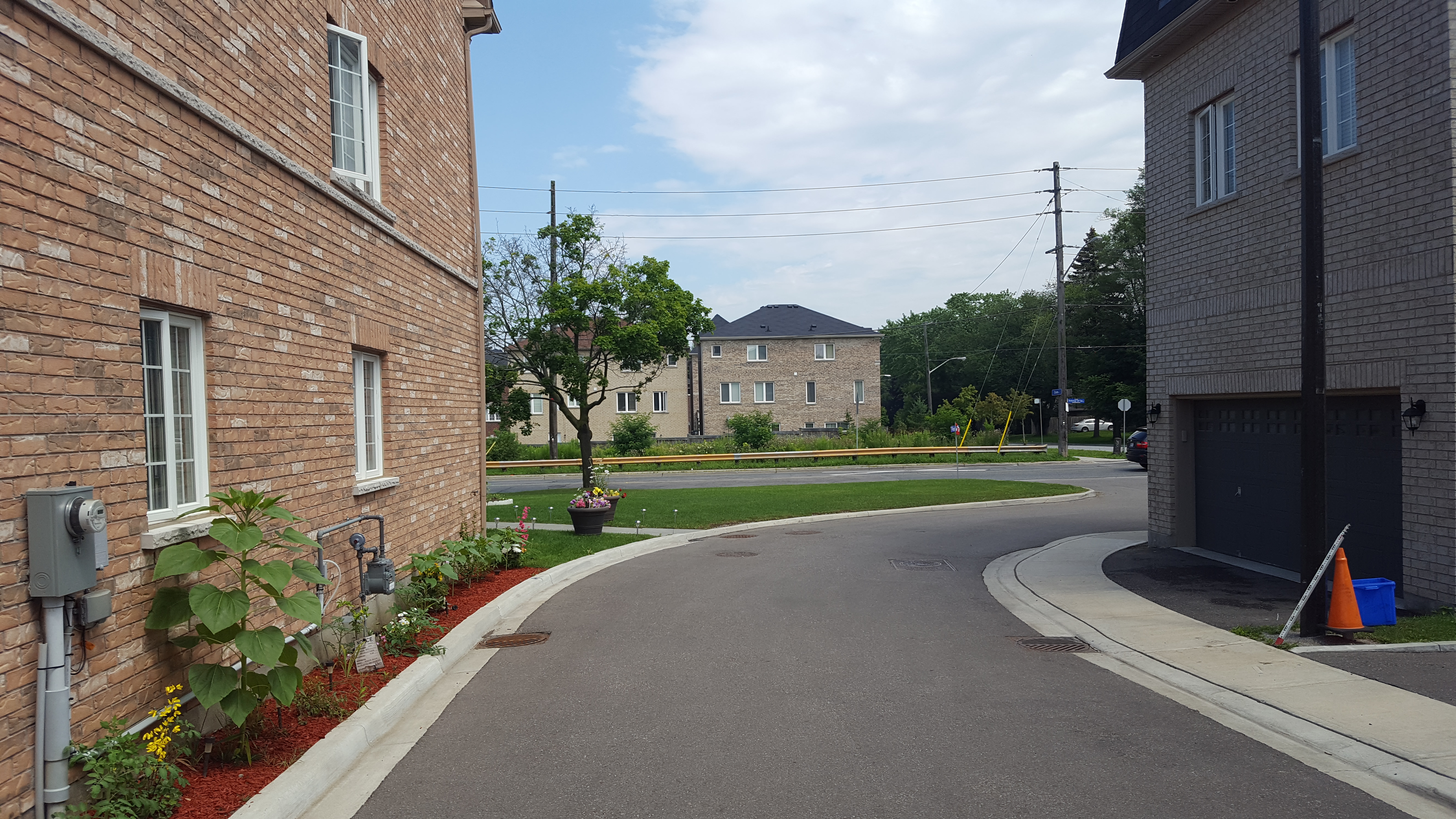
Full topo of entrance to Tillinghast Lane from Scarborough Golf Club Rd.
Building outlines, power lines, trees and road-level items were surveyed. All manholes and catchbasins were opened to measure pipe sizes and invert depths.
Deliverables included points list and CADD survey plans.
Services Provided

GPS/Total Station
Our field teams use Leica robotic Total Stations, Leica, Trimble, and Topcon GNSS units and Leica DNA03 digital levels to provide a wide range of services for projects of any size; includes topographical surveys, construction layout, control networks, deformation monitoring, site volume calculations, as-built surveys and much more.


