About The Project
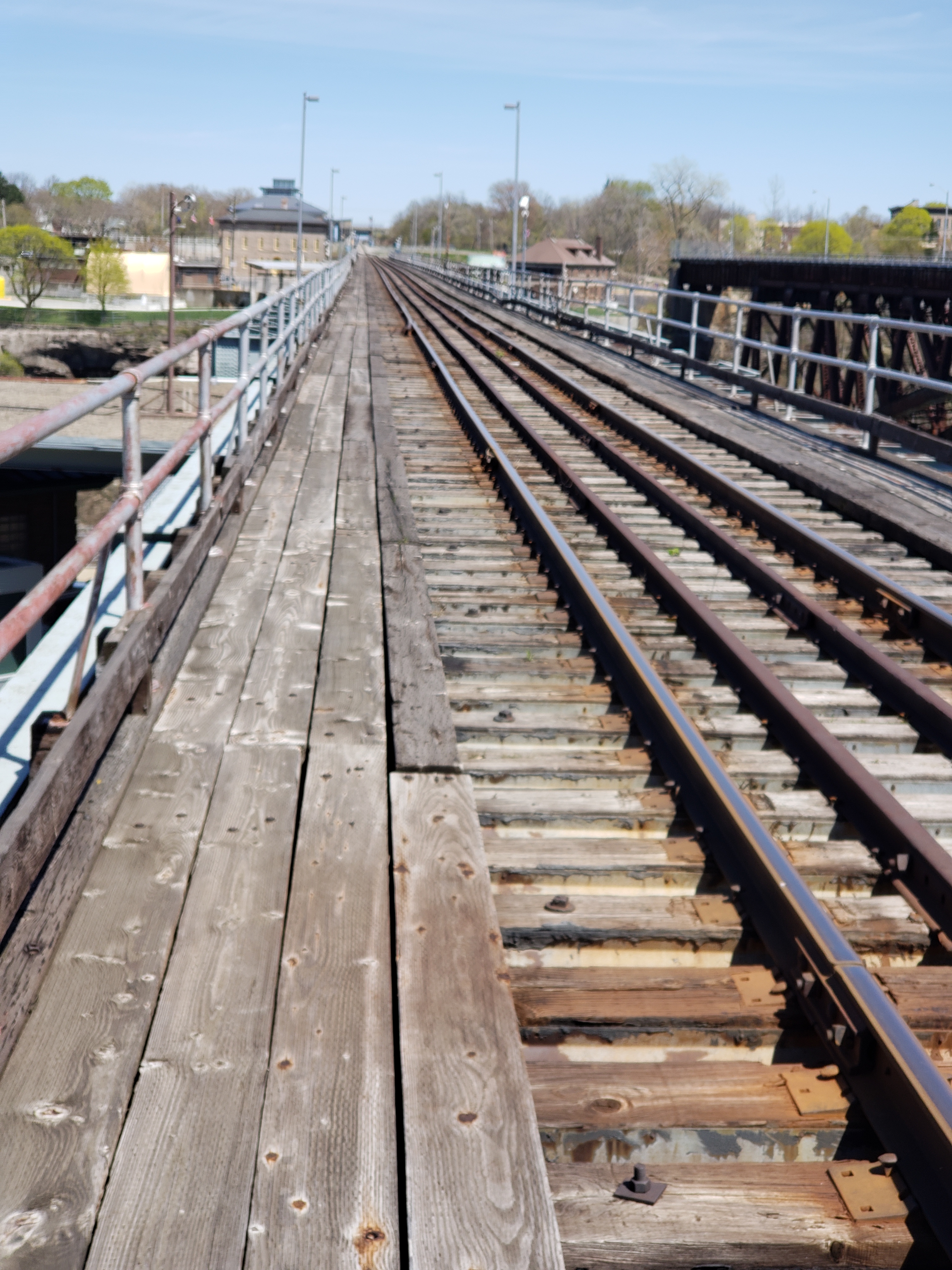
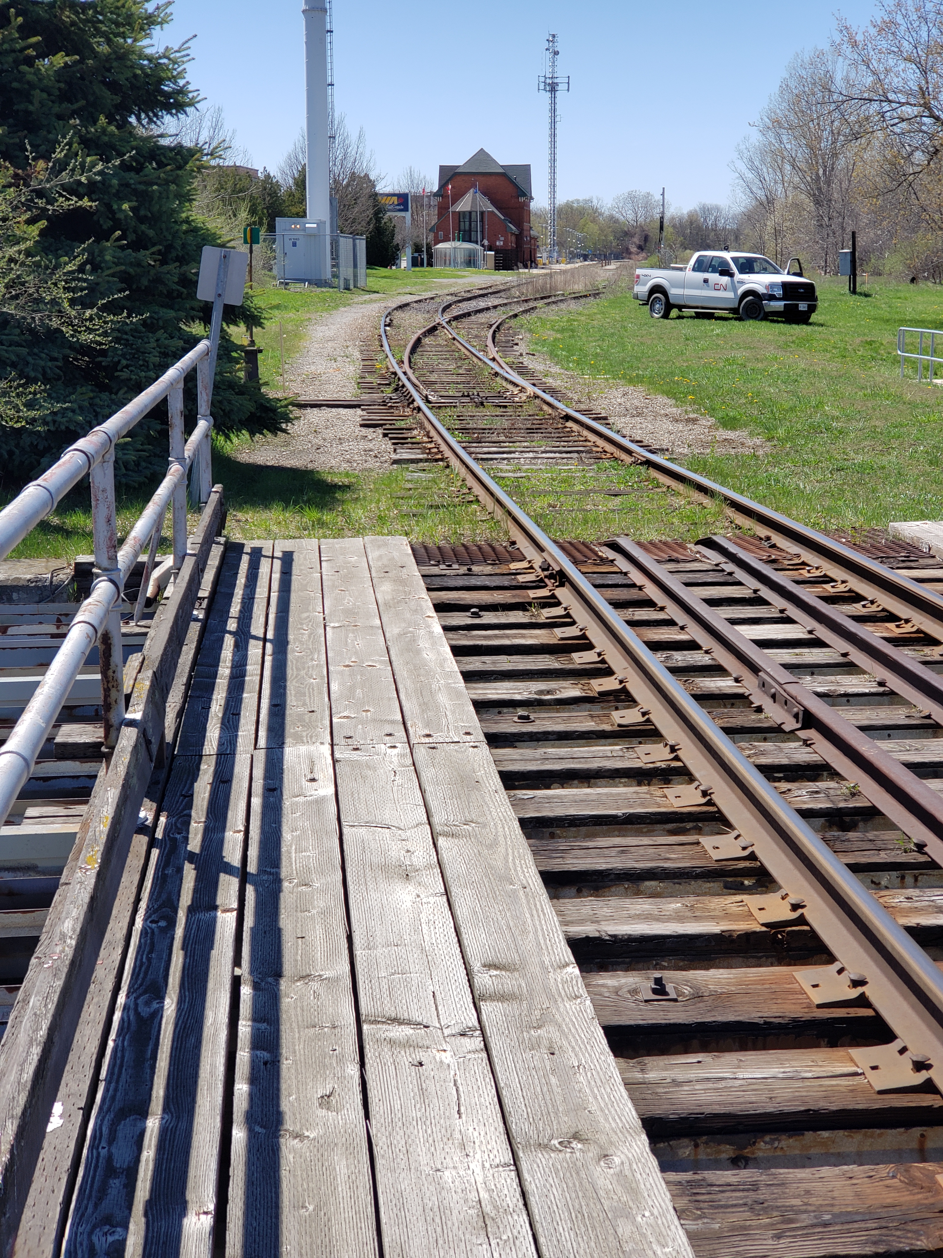
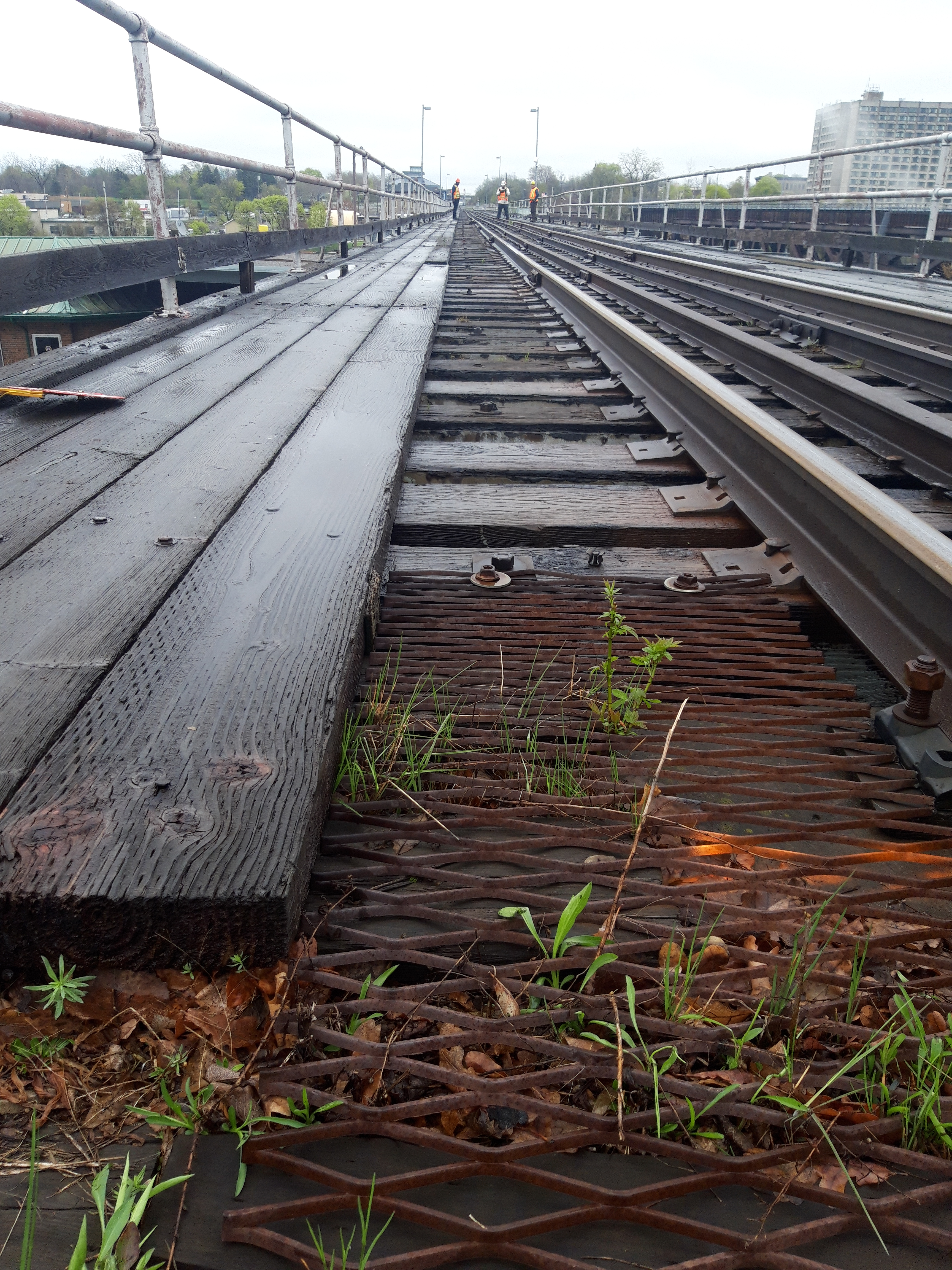
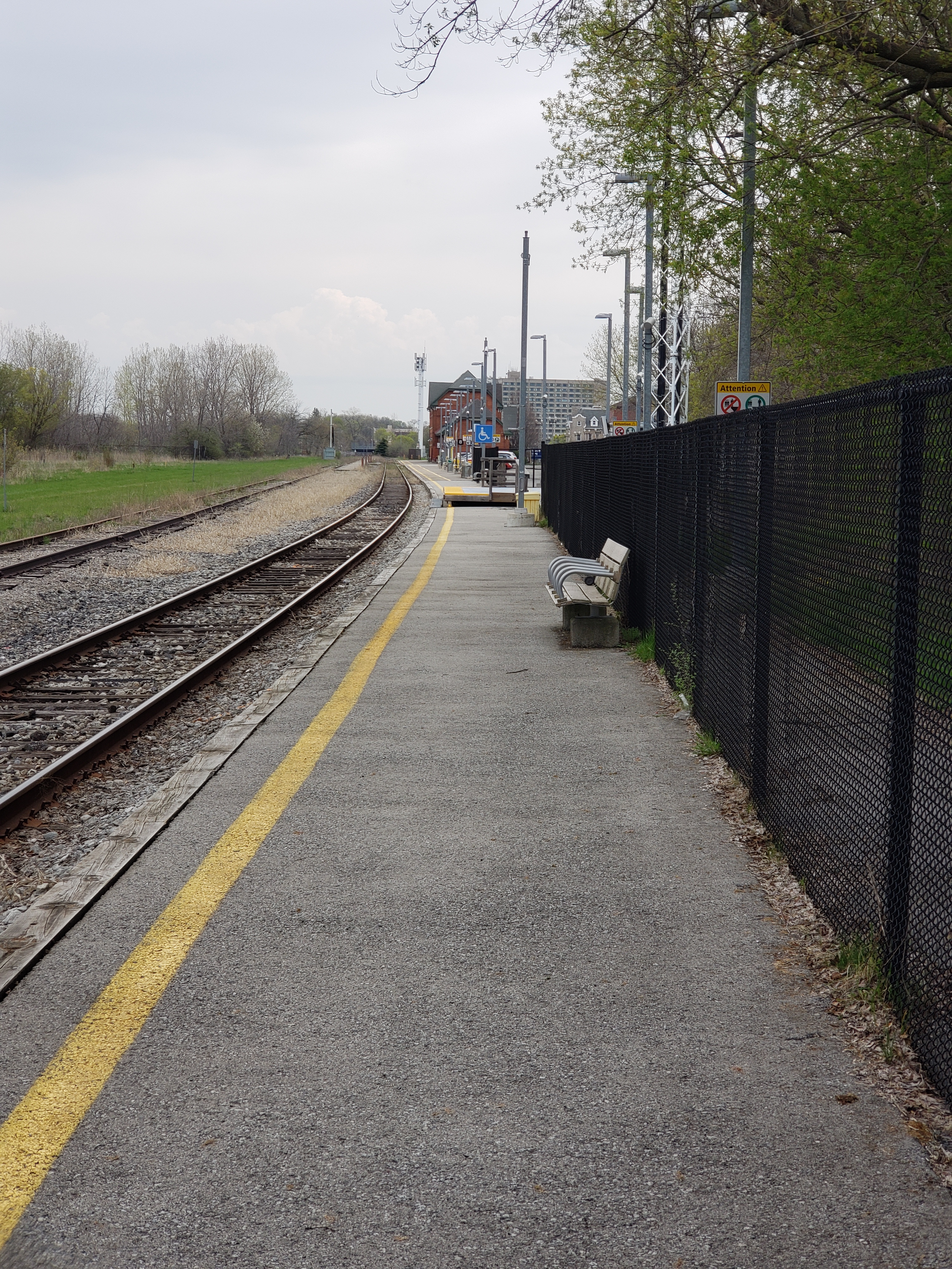
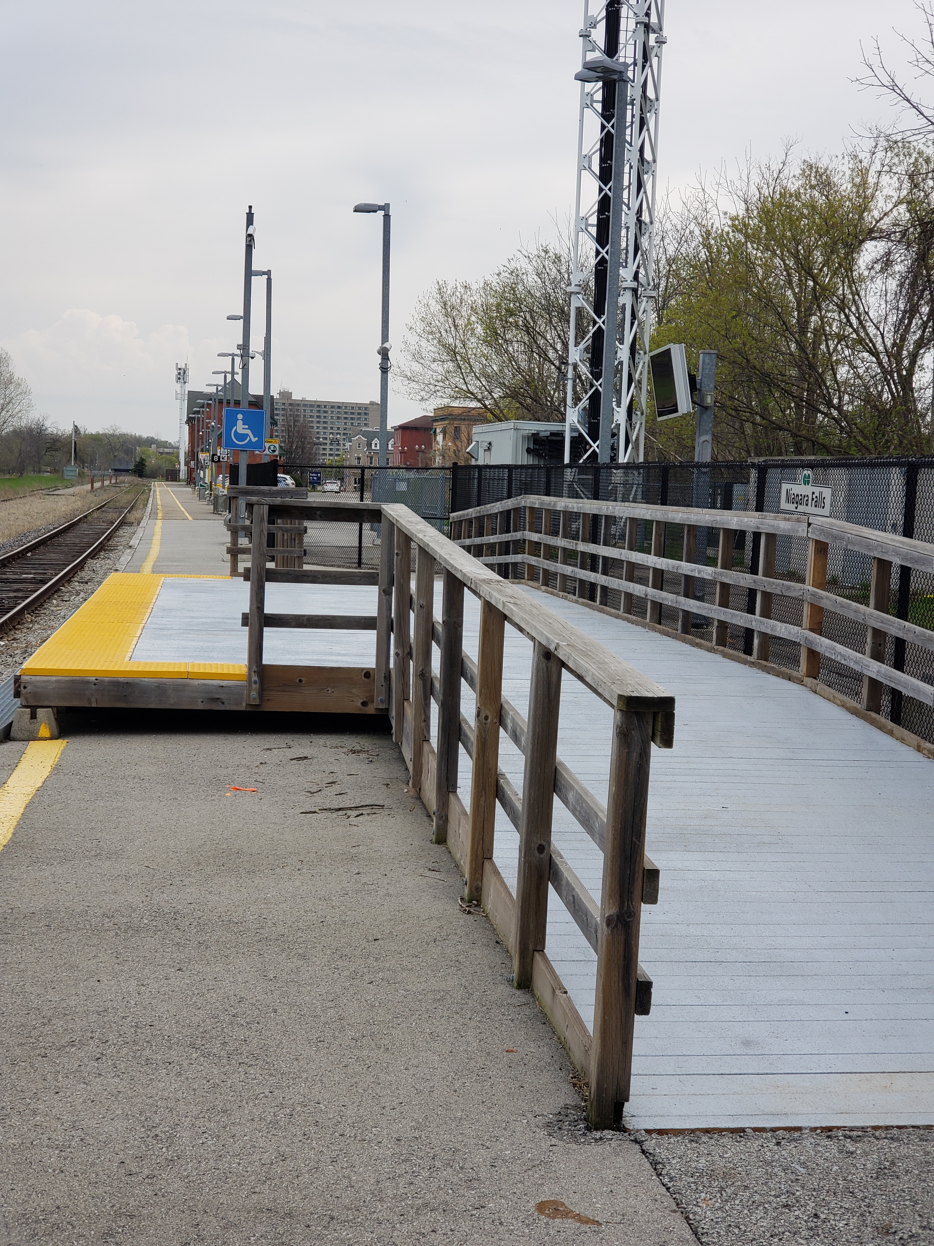
Topographic survey of the former Niagara Falls VIA station, in addition to tracks and corridor either way from the station building and Bridge St. in front of the the station.
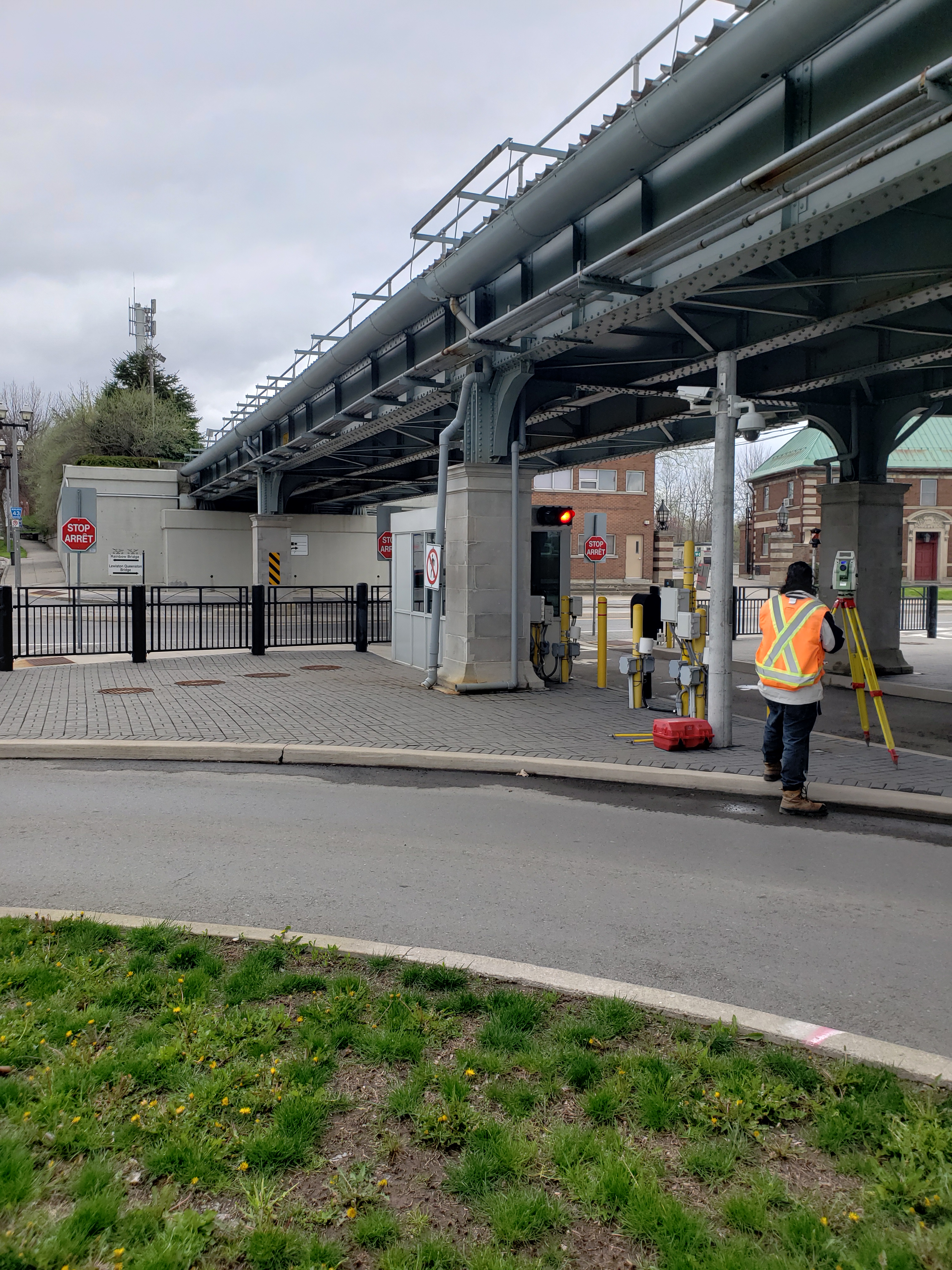
Flagging protection was available for surveyors to work on the tracks. The survey limits took the crew on top of and below the River Road bridge, where coordination with Border Services was required. All manholes and catchbasins were opened for invert measurements.
Survey deliverables included a points list, CADD survey base plans and a finished DTM of site conditions.
Surveyors have since returned to survey additional areas outside of the original limits.
Services Provided

GPS/Total Station
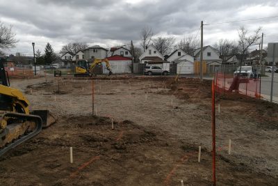
Our field teams use Leica robotic Total Stations, Leica, Trimble, and Topcon GNSS units and Leica DNA03 digital levels to provide a wide range of services for projects of any size; includes topographical surveys, construction layout, control networks, deformation monitoring, site volume calculations, as-built surveys and much more.
