About The Project
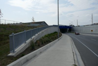
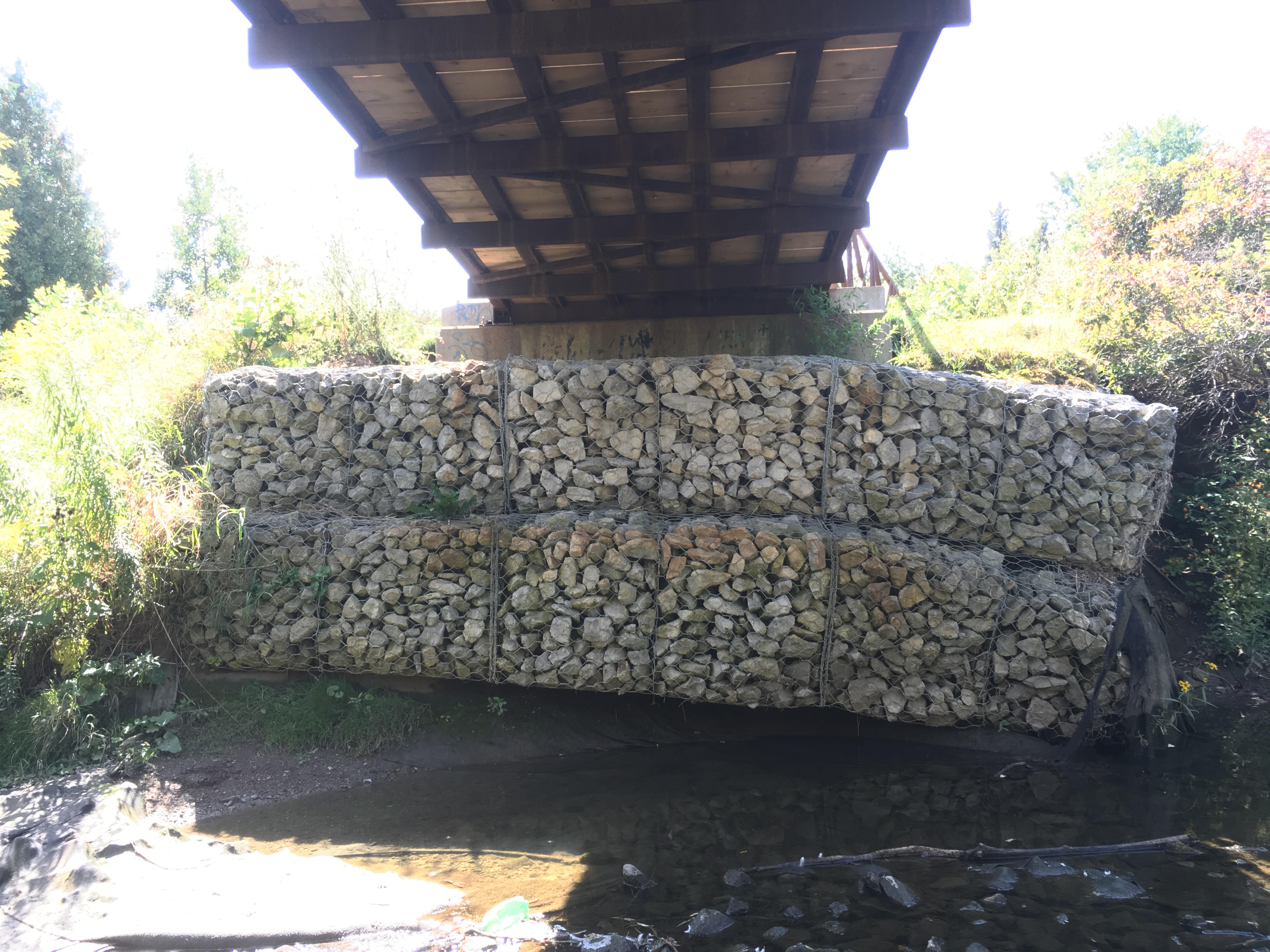
Survey of a small portion of Etobicoke Creek in Brampton, Ontario, including part of the Etobicoke Creek Trail which crosses over the stream. The survey wastied into City of Brampton horizontal and vertical control monuments.
Cross sections of the creek were taken in 2m intervals through the site.
In addition to completing the typical survey base plan deliverables, a DTM was created of the site conditions.
Services Provided

GPS/Total Station
Our field teams use Leica robotic Total Stations, Leica, Trimble, and Topcon GNSS units and Leica DNA03 digital levels to provide a wide range of services for projects of any size; includes topographical surveys, construction layout, control networks, deformation monitoring, site volume calculations, as-built surveys and much more.


