About The Project
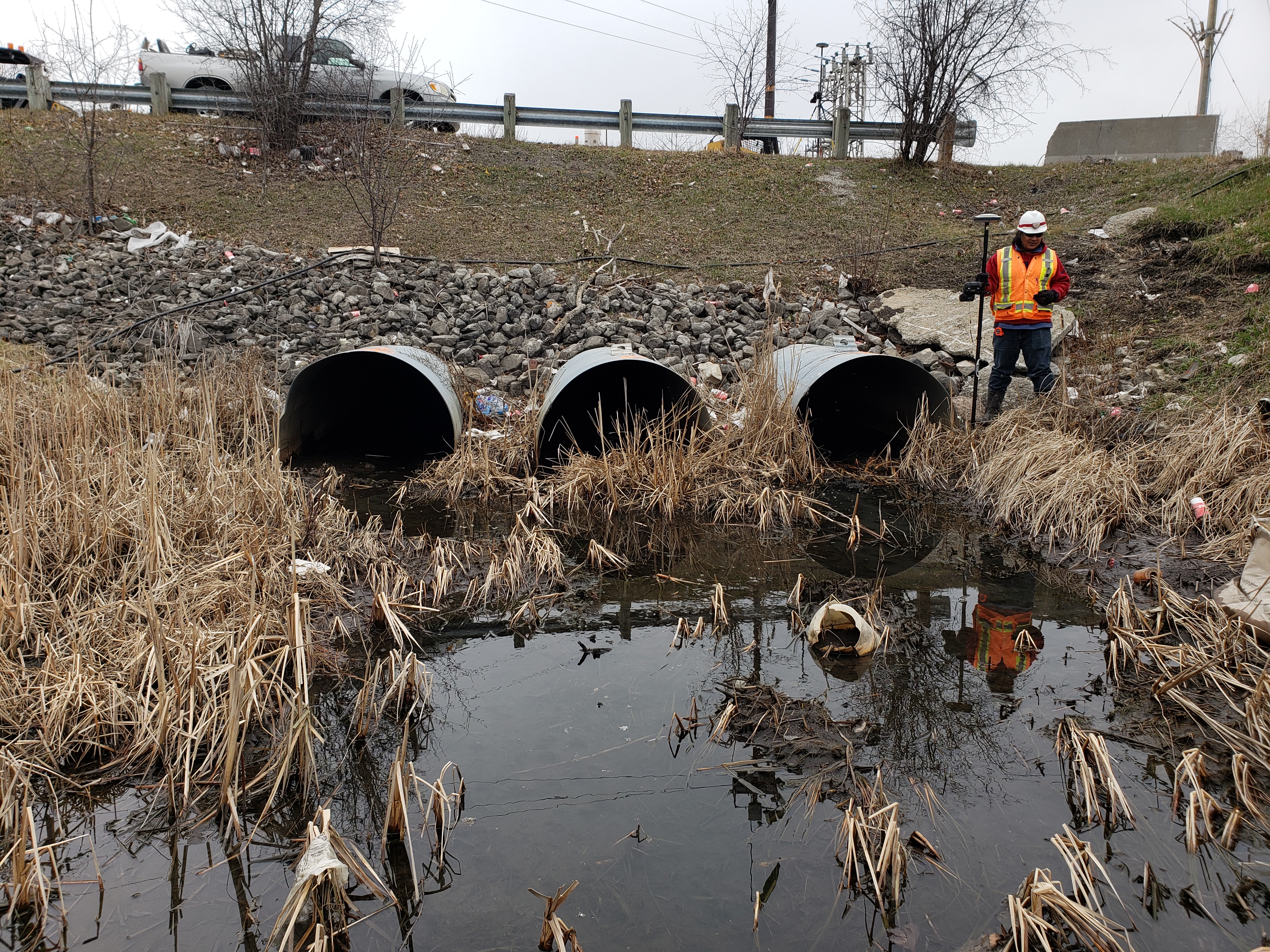
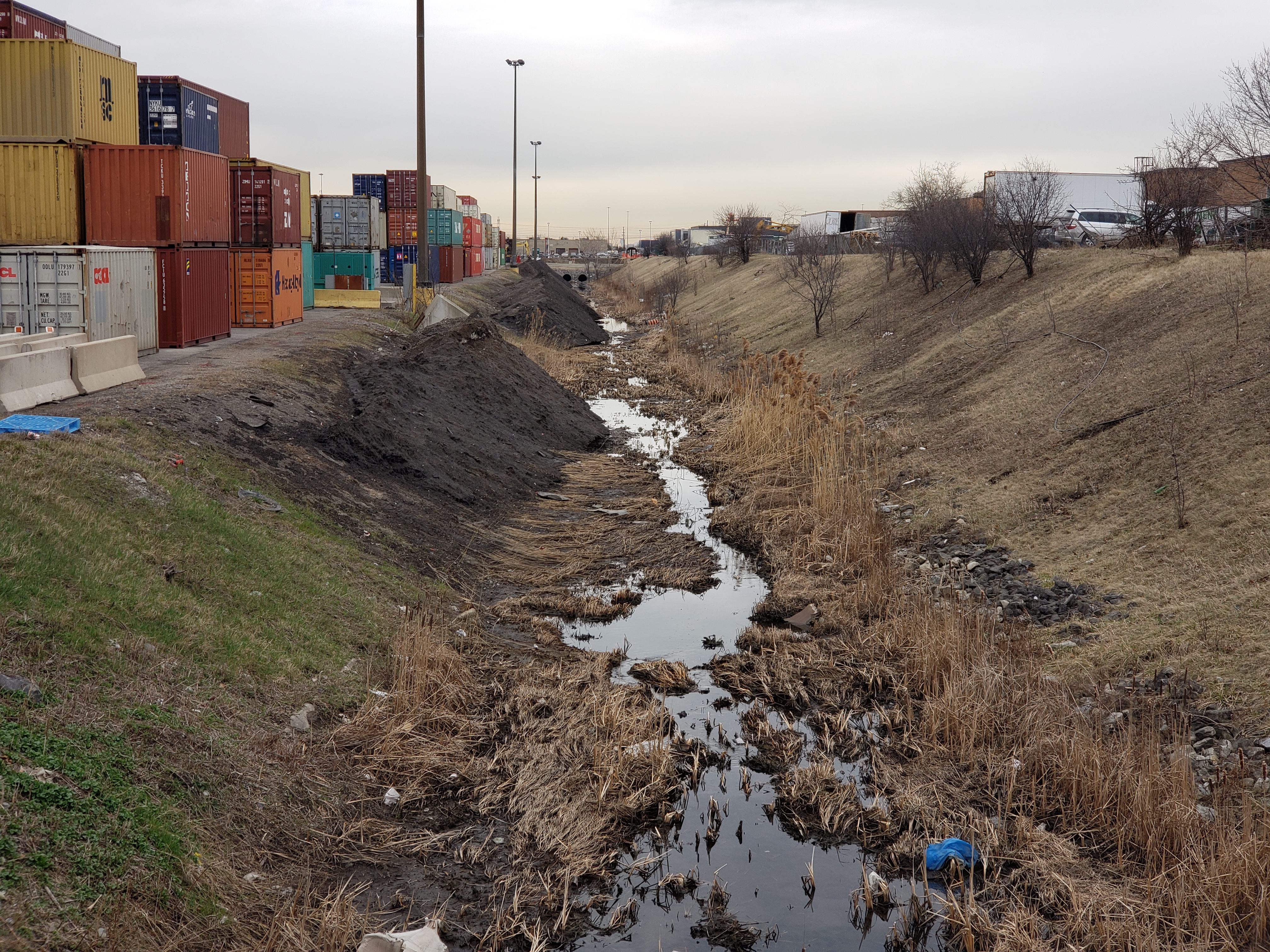
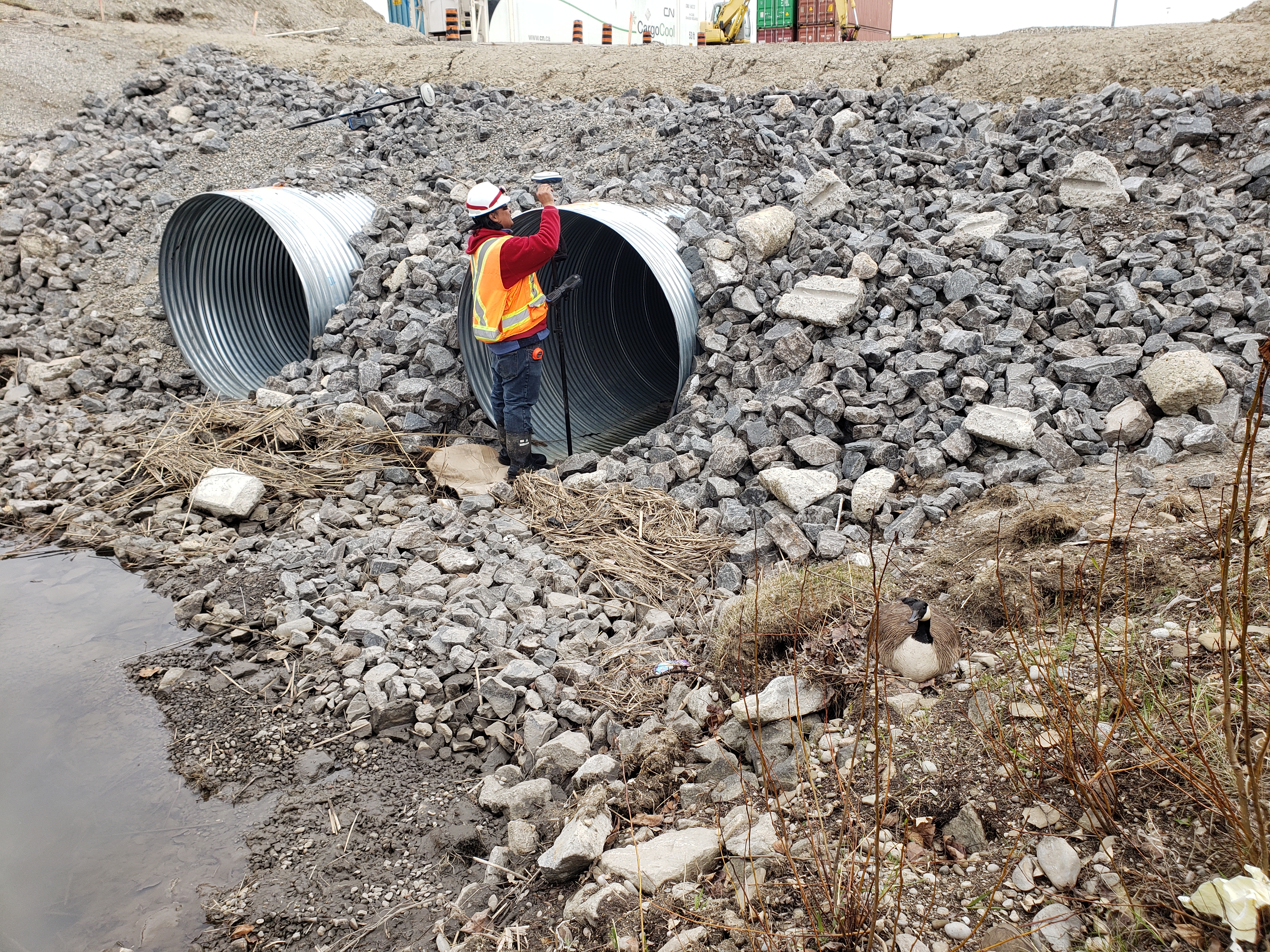
Topographic survey of ditch on the property of CN’s Brampton Intermodal Terminal (BIT), including culverts and both ends of the ditch and parts of the parking lot.
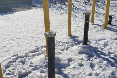
Locates were marked by CN technicians and surveyed by Groma.
All manholes and catchbasins were opened and measured for inverts. Where recent work has taken place at the ditch, some drainage structures sat above grade and were not yet connected to the main system, though invert measurements were taken regardless.
Services Provided

GPS/Total Station
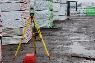
Our field teams use Leica robotic Total Stations, Leica, Trimble, and Topcon GNSS units and Leica DNA03 digital levels to provide a wide range of services for projects of any size; includes topographical surveys, construction layout, control networks, deformation monitoring, site volume calculations, as-built surveys and much more.
