About The Project
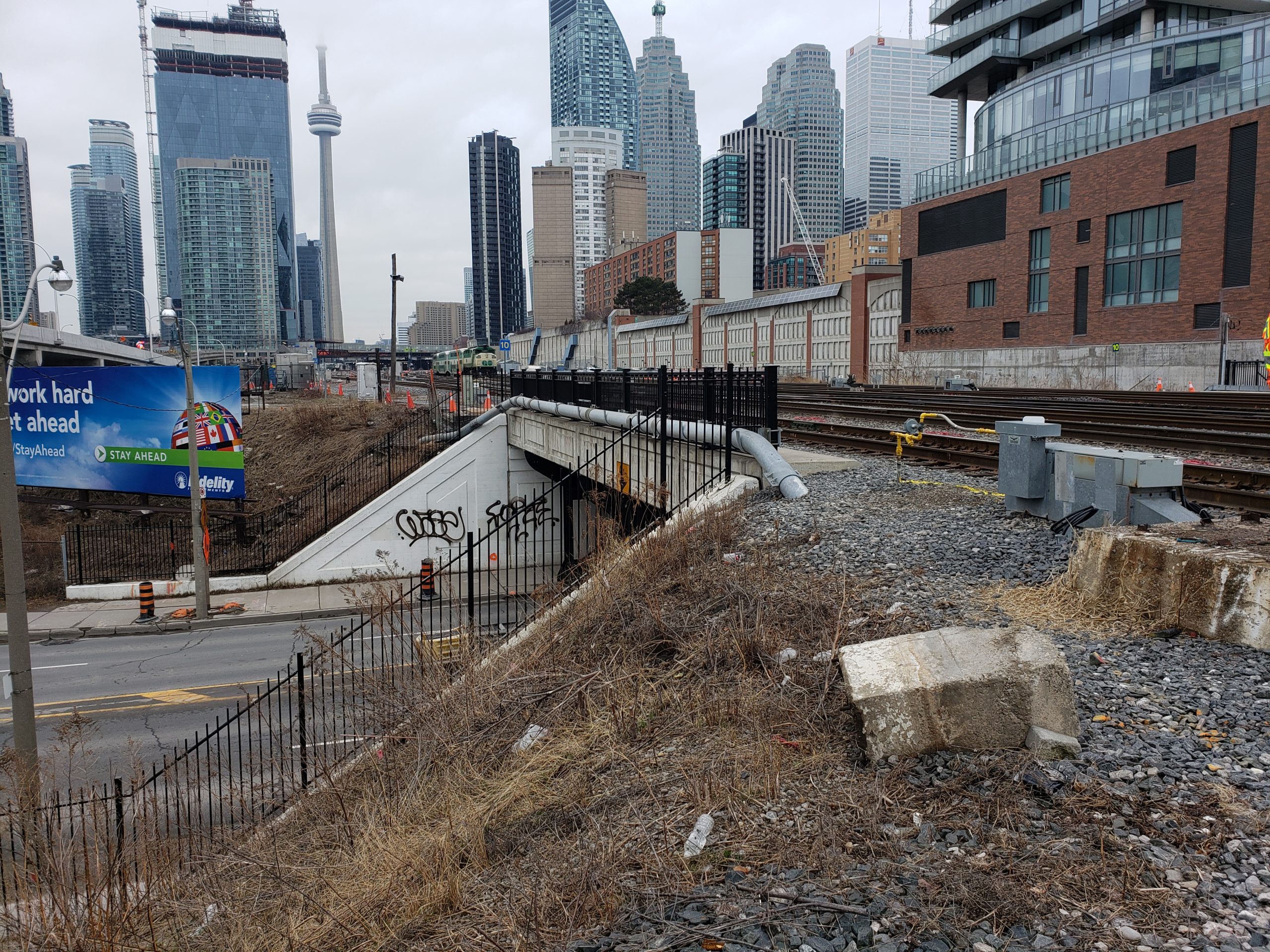
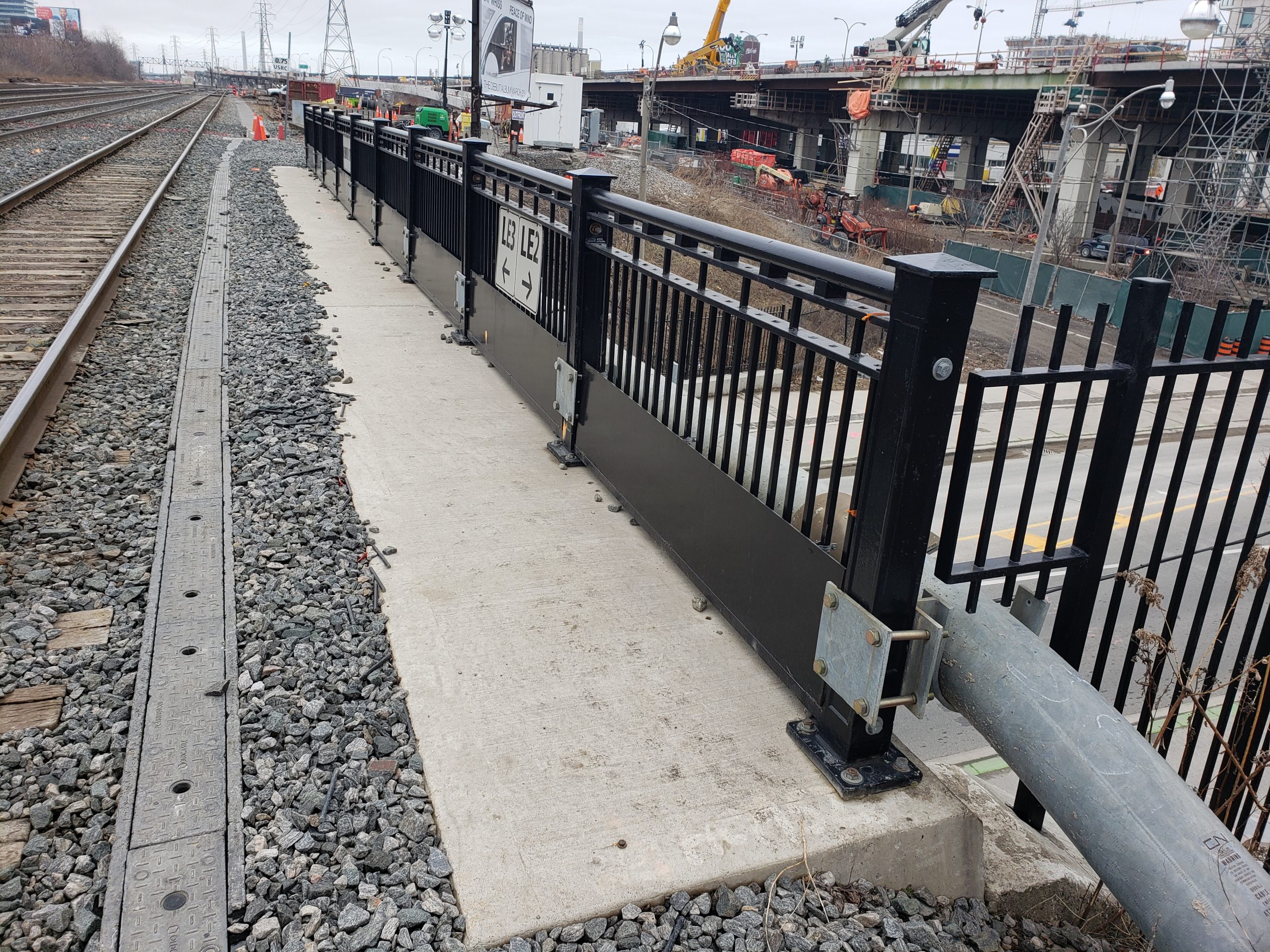
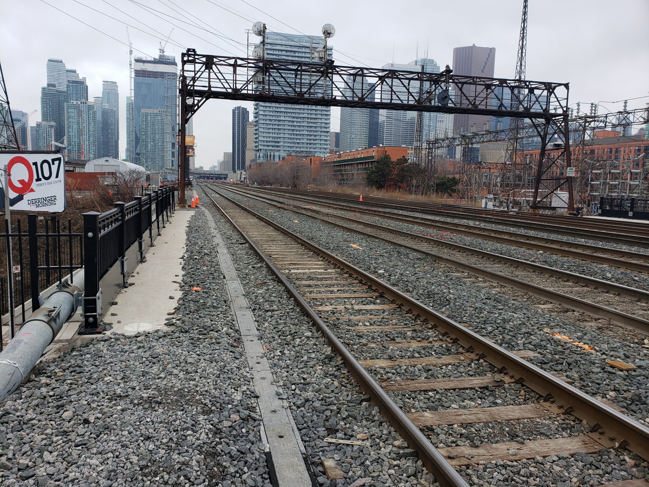
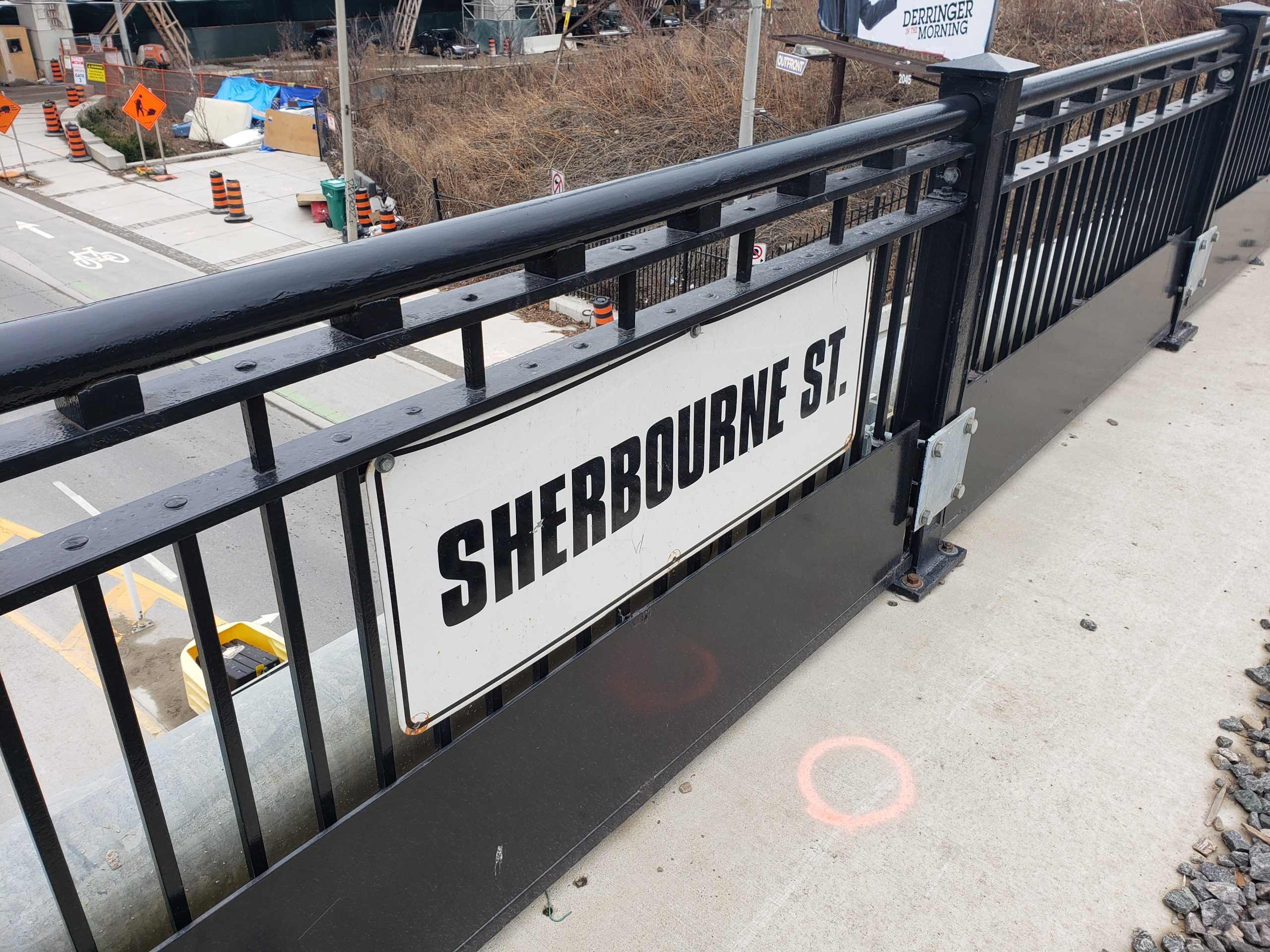
Topographic survey of track-level bridge structure at Lower Sherbourne & Lower Jarvis in Toronto, on Metrolinx’s USRC East corridor. The southernmost track was surveyed as well within the limits.
This survey data was tied into the previous road-level surveys, which were completed in the USRC coordinate system. All work was done using flagging protection
The client received a survey points list and 2D/3D survey base plans.
Services Provided

GPS/Total Station
Our field teams use Leica robotic Total Stations, Leica, Trimble, and Topcon GNSS units and Leica DNA03 digital levels to provide a wide range of services for projects of any size; includes topographical surveys, construction layout, control networks, deformation monitoring, site volume calculations, as-built surveys and much more.
