About The Project
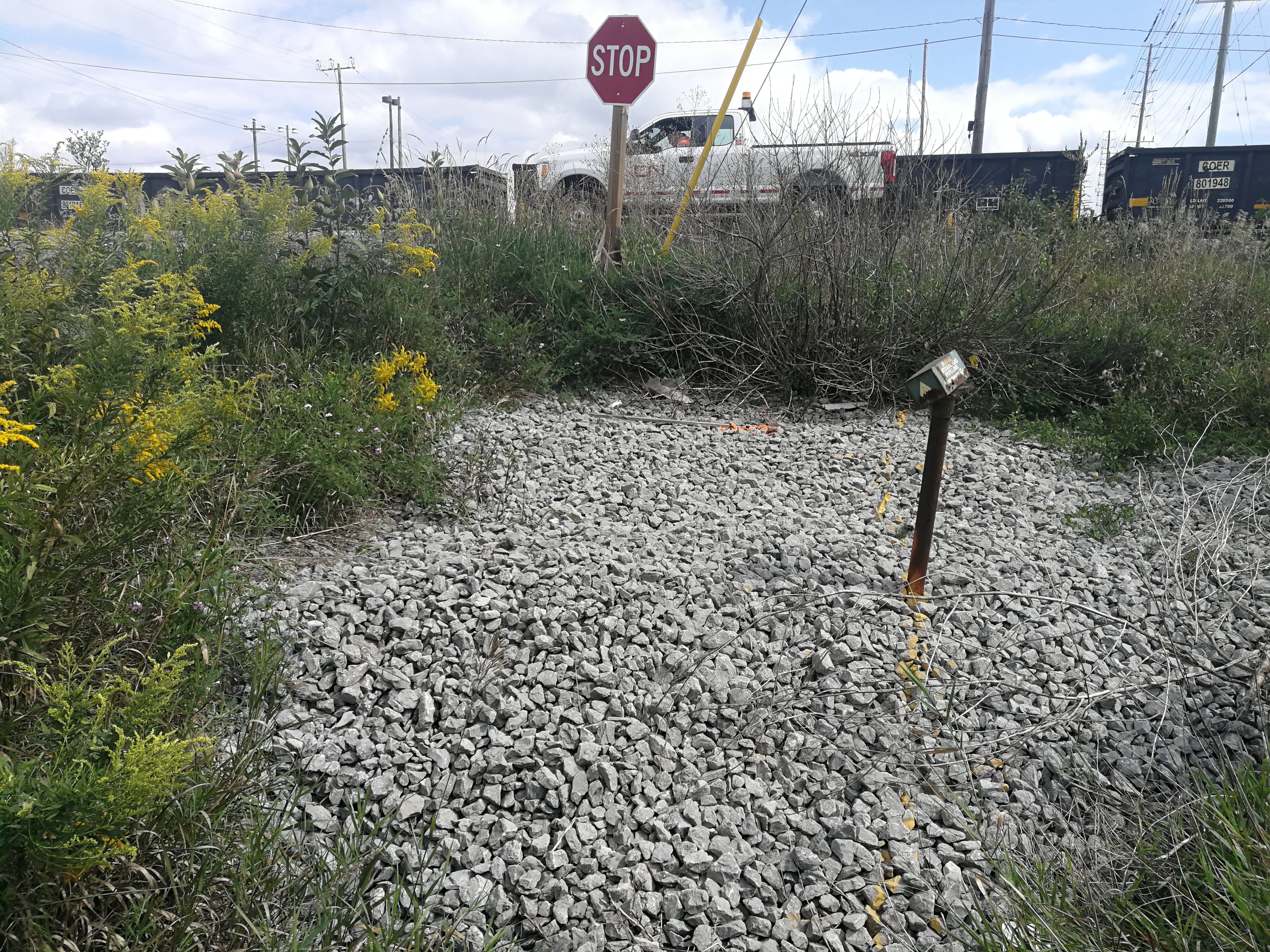
Full topographic survey of culvert and rail crossing within CN Mac Yard, south of the Autoport and just north of the 407 bridge.
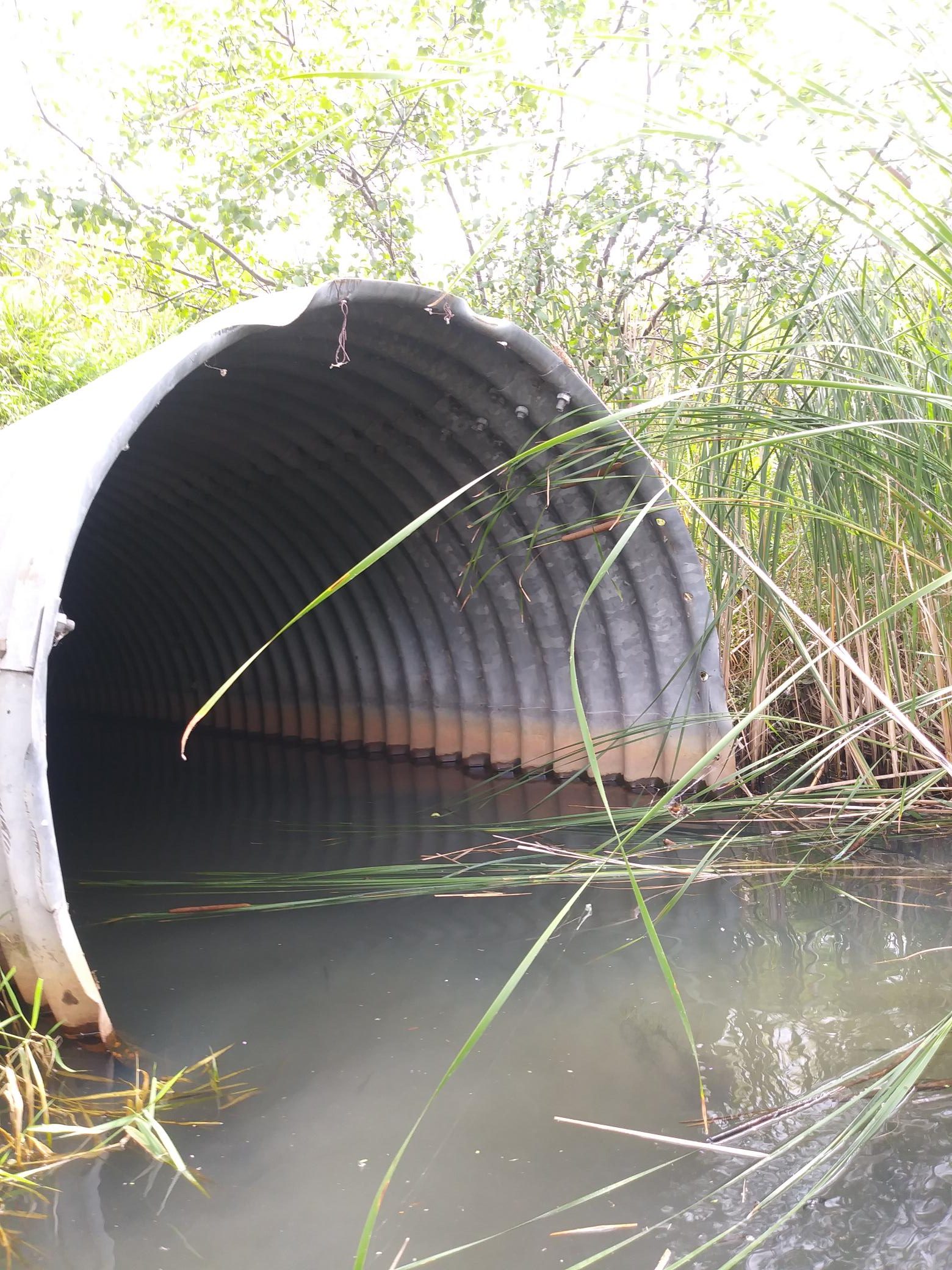
This survey was done with GPS at the west side to pick up ground features and edge of the roadway, while total station was used further east to survey the tracks and culvert invert. The large culvert end was situated in a ditch, which we were able to enter and survey with GPS using hip waders.
Elevations were tied into a nearby vertical control monument, but no adjustment was needed.
Survey base plan and survey points list was delivered to the client upon completion.
Services Provided

GPS/Total Station
Our field teams use Leica robotic Total Stations, Leica, Trimble, and Topcon GNSS units and Leica DNA03 digital levels to provide a wide range of services for projects of any size; includes topographical surveys, construction layout, control networks, deformation monitoring, site volume calculations, as-built surveys and much more.


