


About The Project
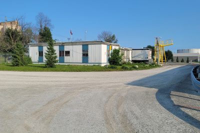
Topographic survey at Birchmount Road where it passes over the Metrolinx Kingston Subdivision in Scarborough. Approximately 485m of the roadway was surveyed, and 315m of the rail corridor.
The roadway was surveyed using mobile LiDAR scanning technology. Prior to scanning, surveyors set scan targets on the roadway, tied into the project control network. The mobile LiDAR vehicle captured all features within the roadway allowance, which could be extracted to a CAD survey base plan from the resultant point cloud.
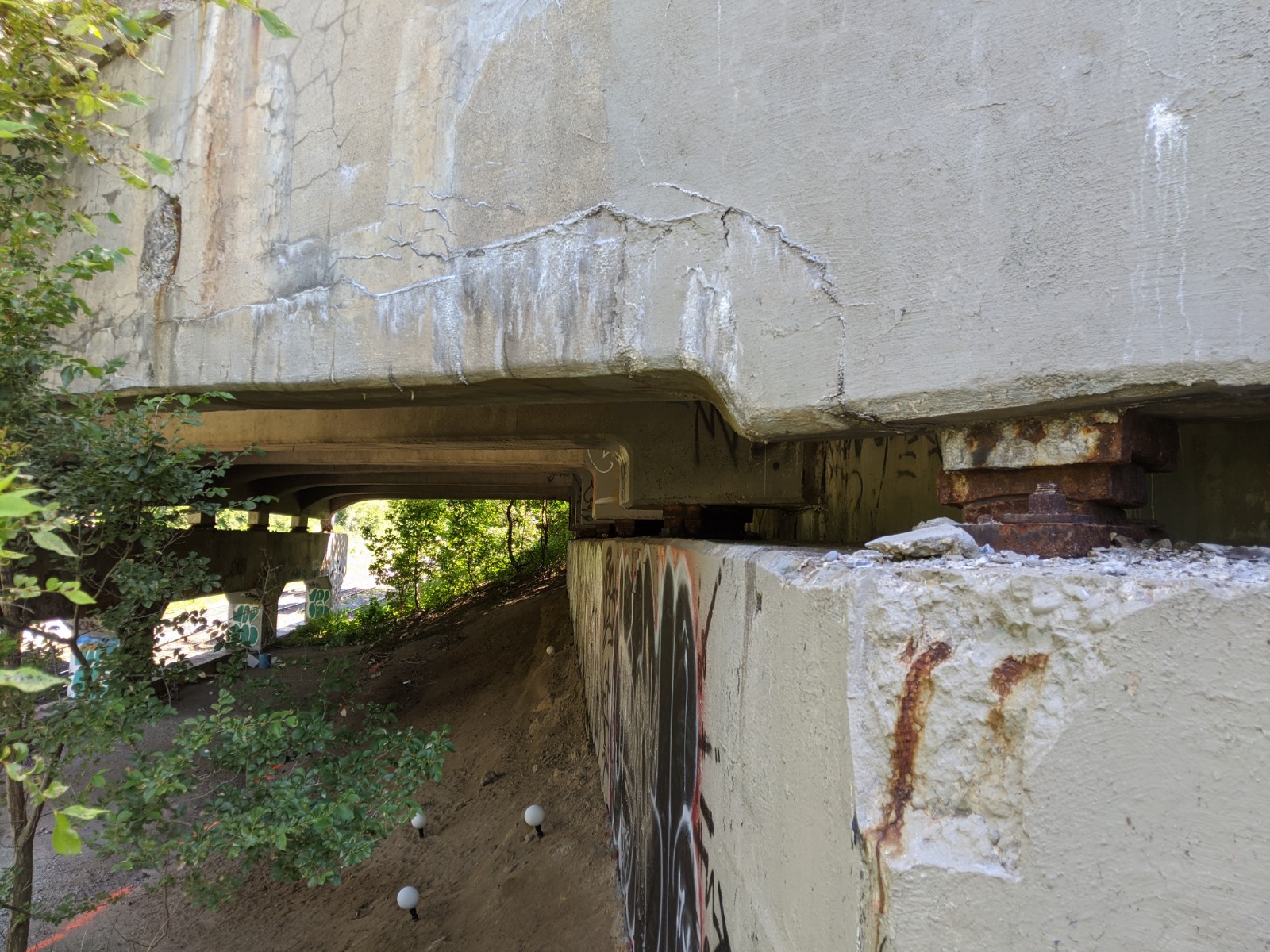
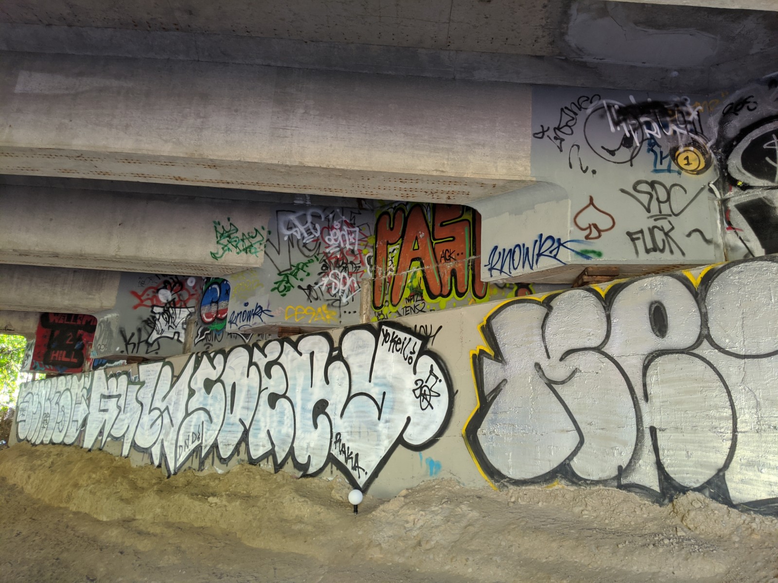
The rail corridor was surveyed with a combination of conventional GPS and total station survey, along with stationary LiDAR scanning below the bridge to capture all of the current structural elements in one go. Surveyors worked with flagging protection for surveying in the active rail corridor.
The final survey base plans were provided to the client in both Metrolinx & City of Toronto coordinate systems. Surveyors tied into nearby City of Toronto control monuments so that the CAD team could complete the transposition of data in the office.
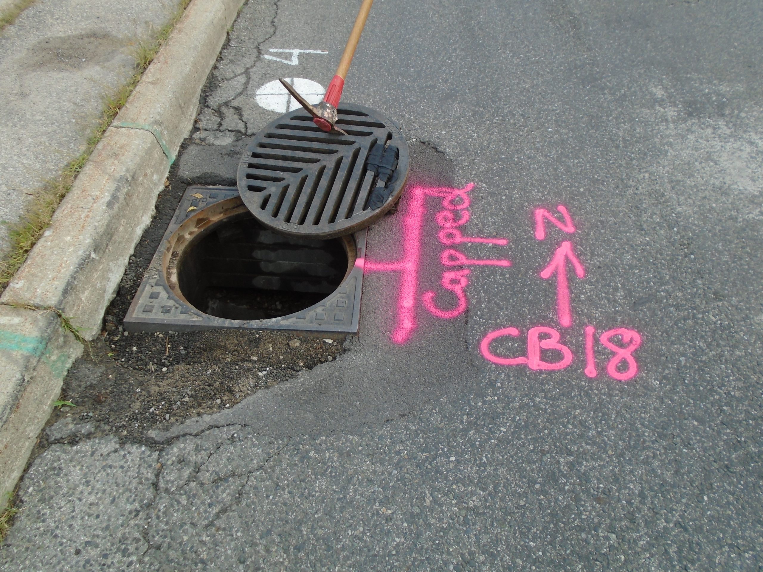
In addition to topographic surveying, Groma’s subcontractors completed SUE Level B investigations and a legal boundary survey of the same site limits. Utility locates on Birchmount Road were done prior to mobile LiDAR scanning so that the paint marks would be captured for later extraction. Metrolinx and CN utility locates were marked by PNR and Ledcor, respectively, as coordinated by Metrolinx.
Services Provided

GPS/Total Station
3D Laser Scanning
