About The Project
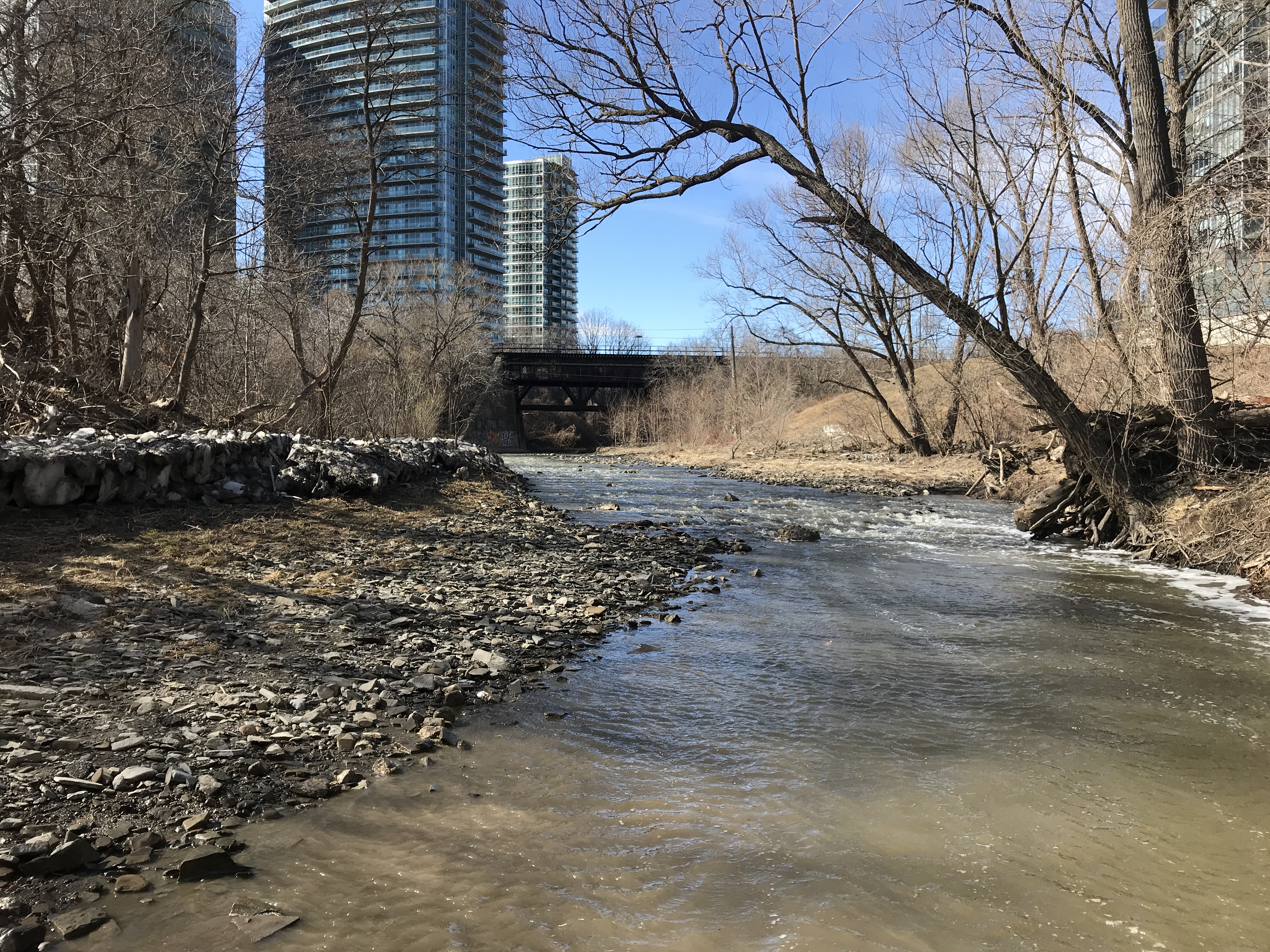
Groma completed several types of surveys at the Bonar-Mimico Creek area in Toronto, near the creek’s outlet into Lake Ontario.
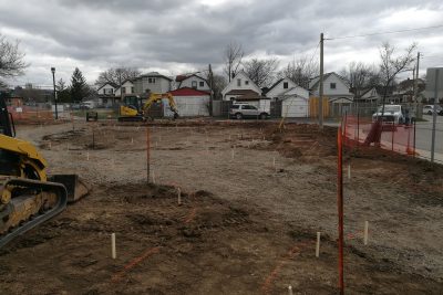
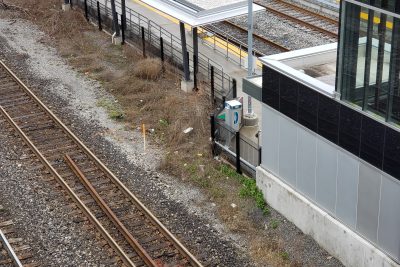
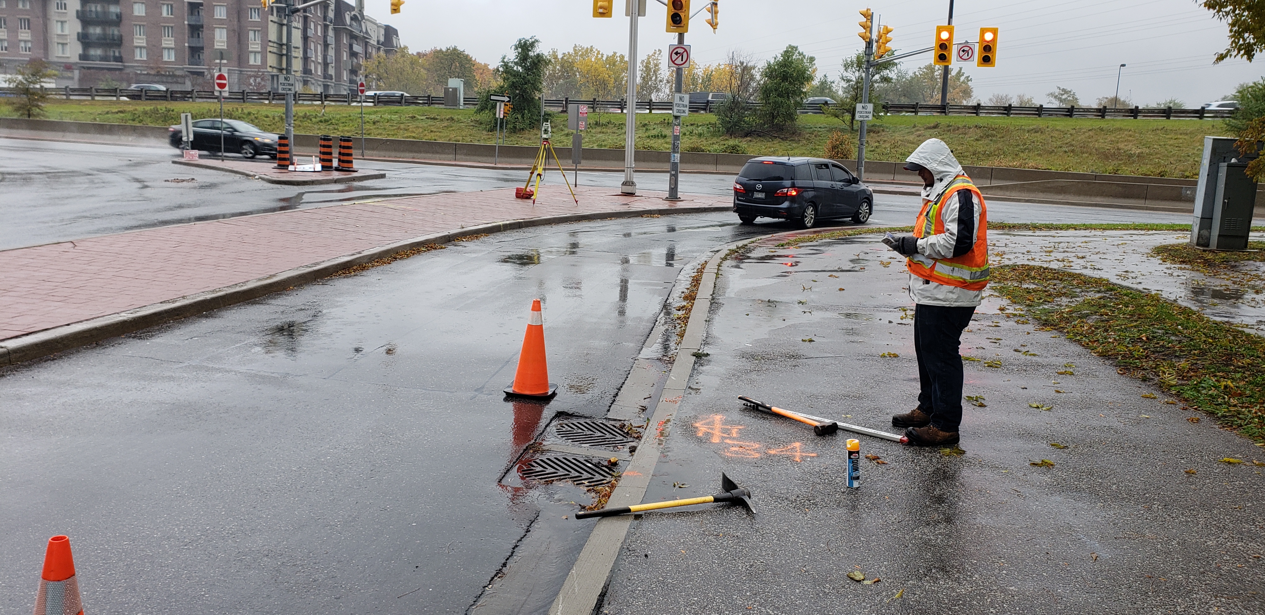
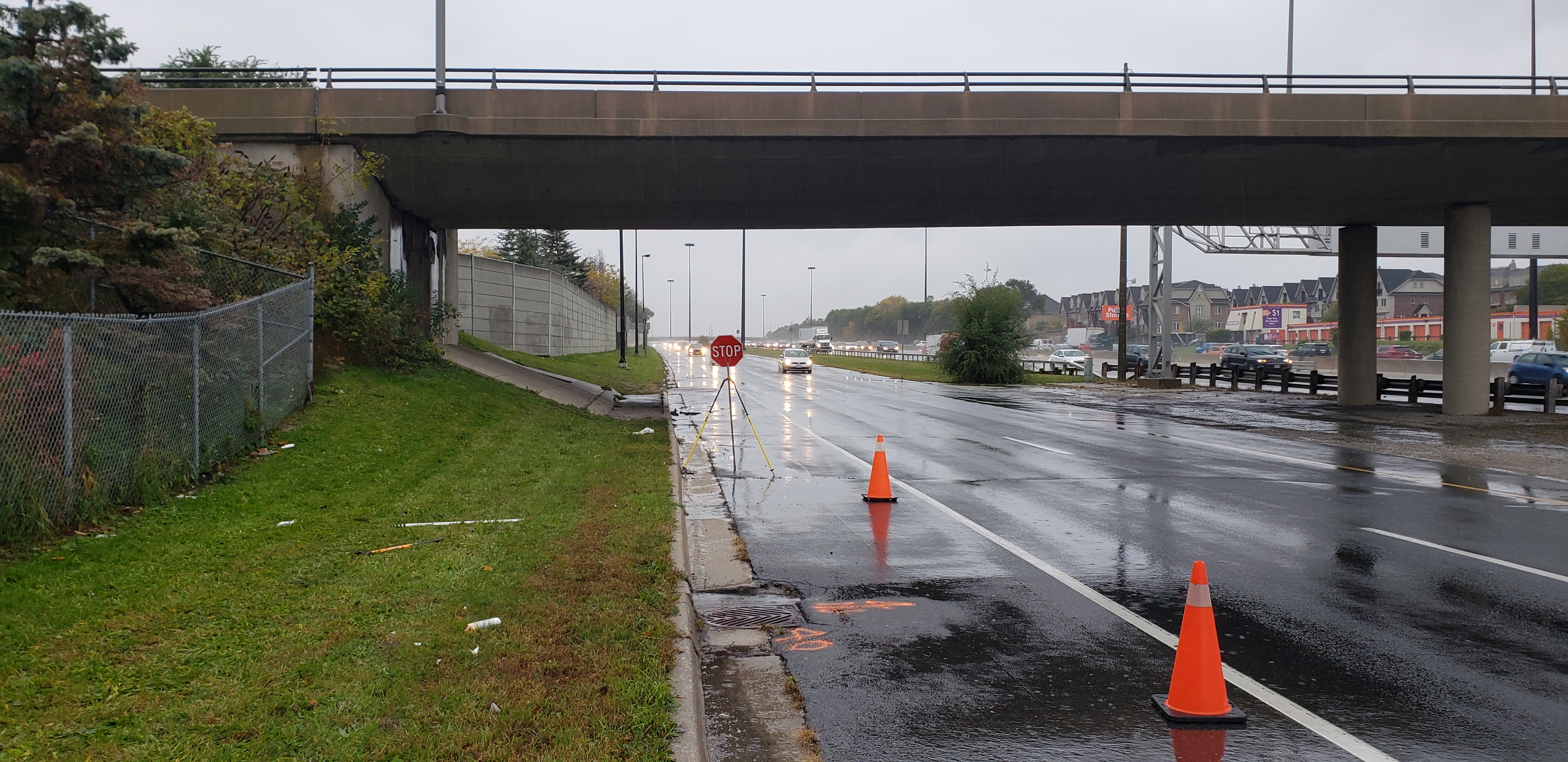
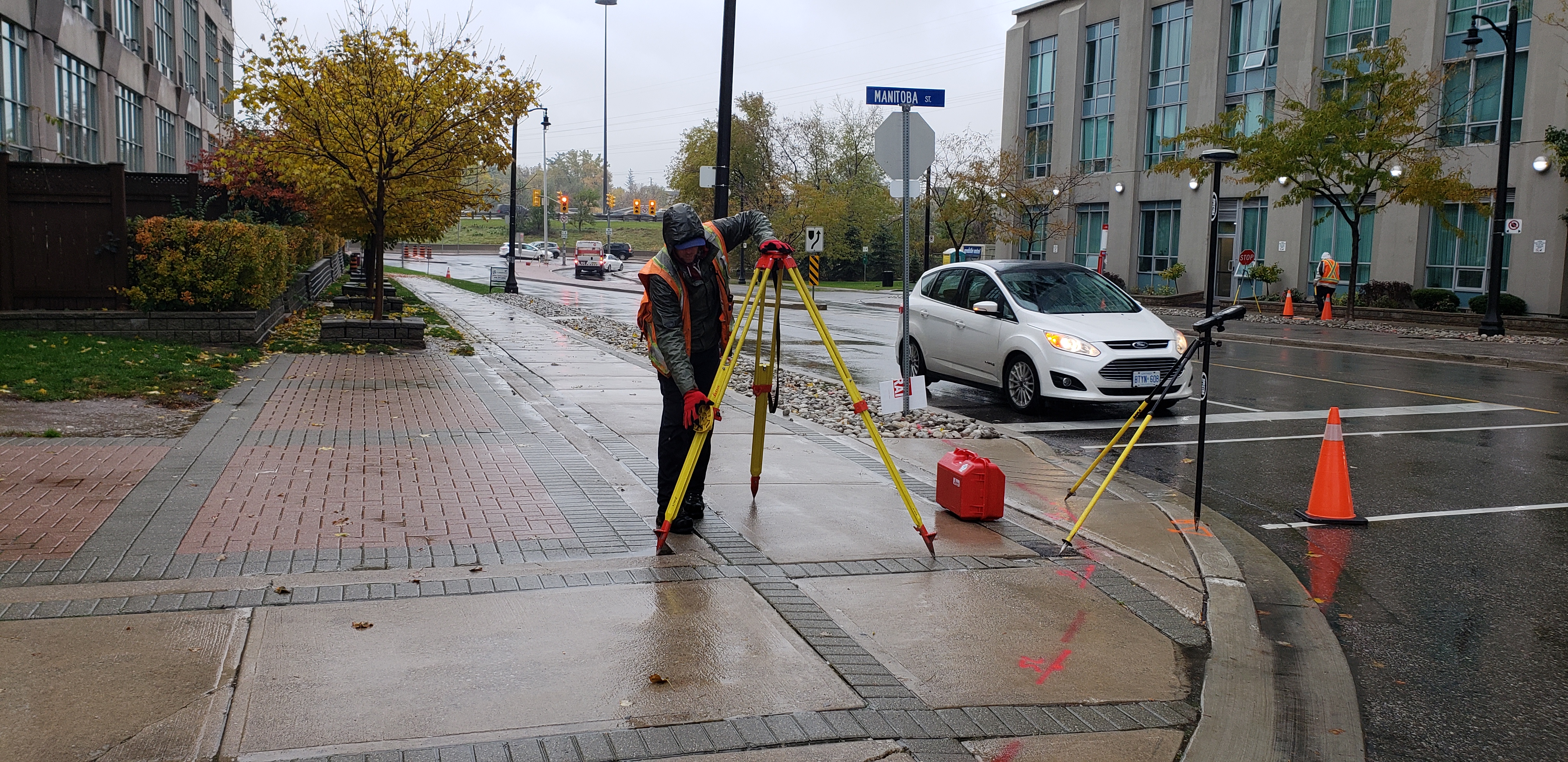
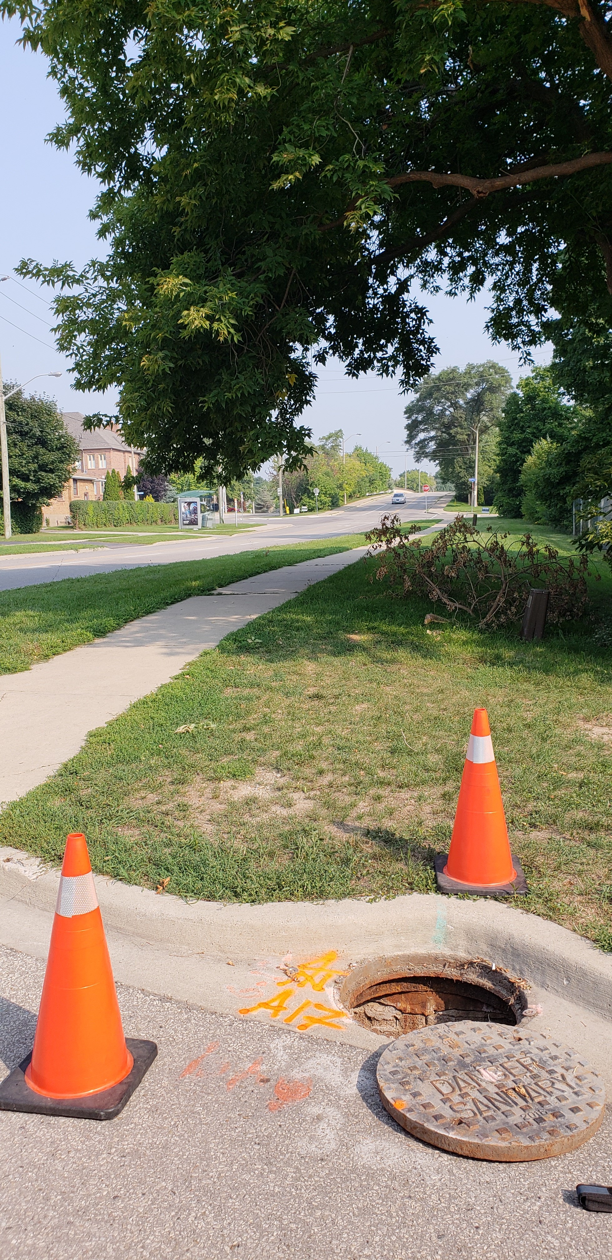
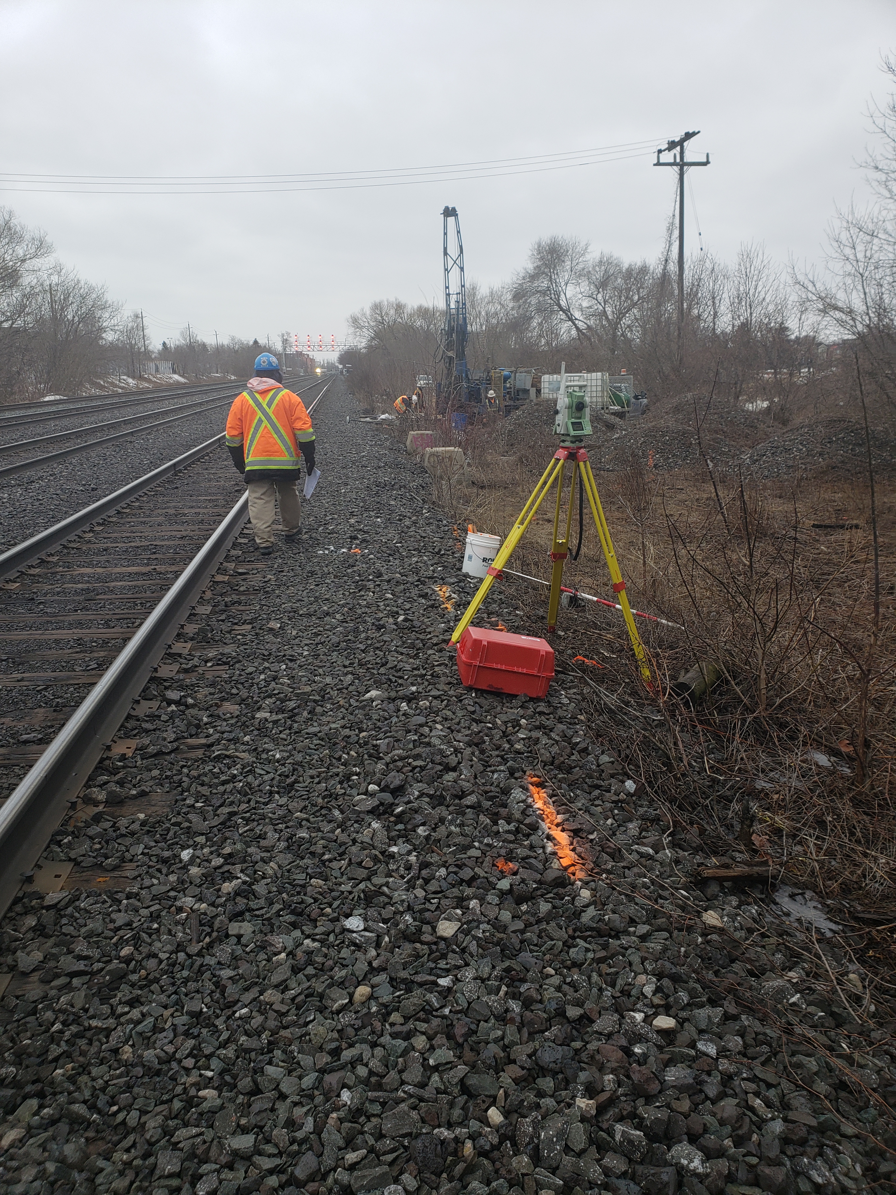
The initial survey scope included nearby City streets, vacant City property and a small section of the Metrolinx rail corridor north of Lake Shore Blvd. City streets were surveyed by hand. Since the rail corridor has frequent train traffic during regular working hours, a surveyor came in on the weekend to pick up the required items with flagging protection.
The vacant properties were surveyed using aerial LiDAR technology, which allowed us to capture ground data quickly and avoid traversing heavily vegetated land. The resulting DTM from the LiDAR data was combined with the conventional survey work to produce one DTM deliverable.
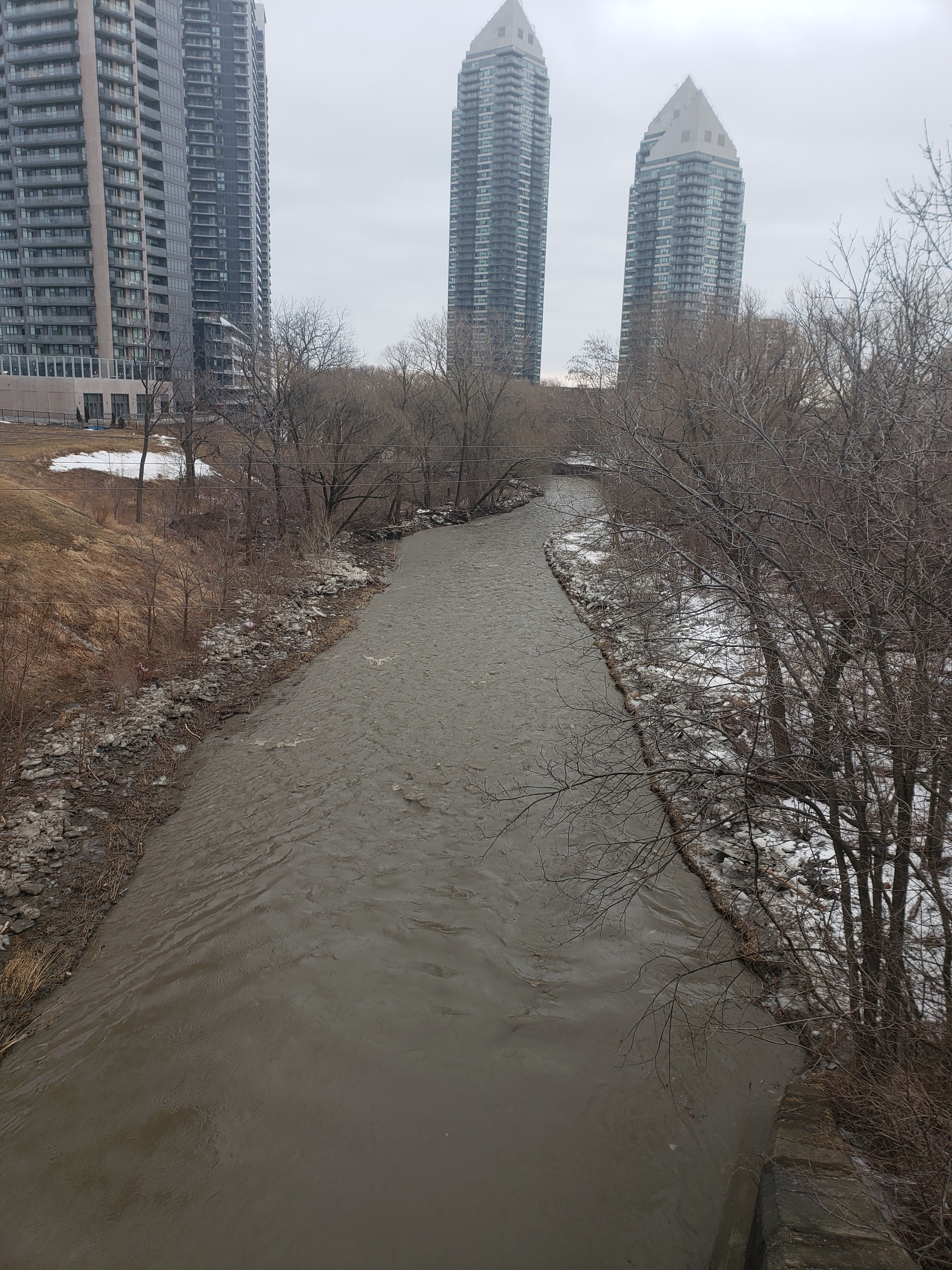
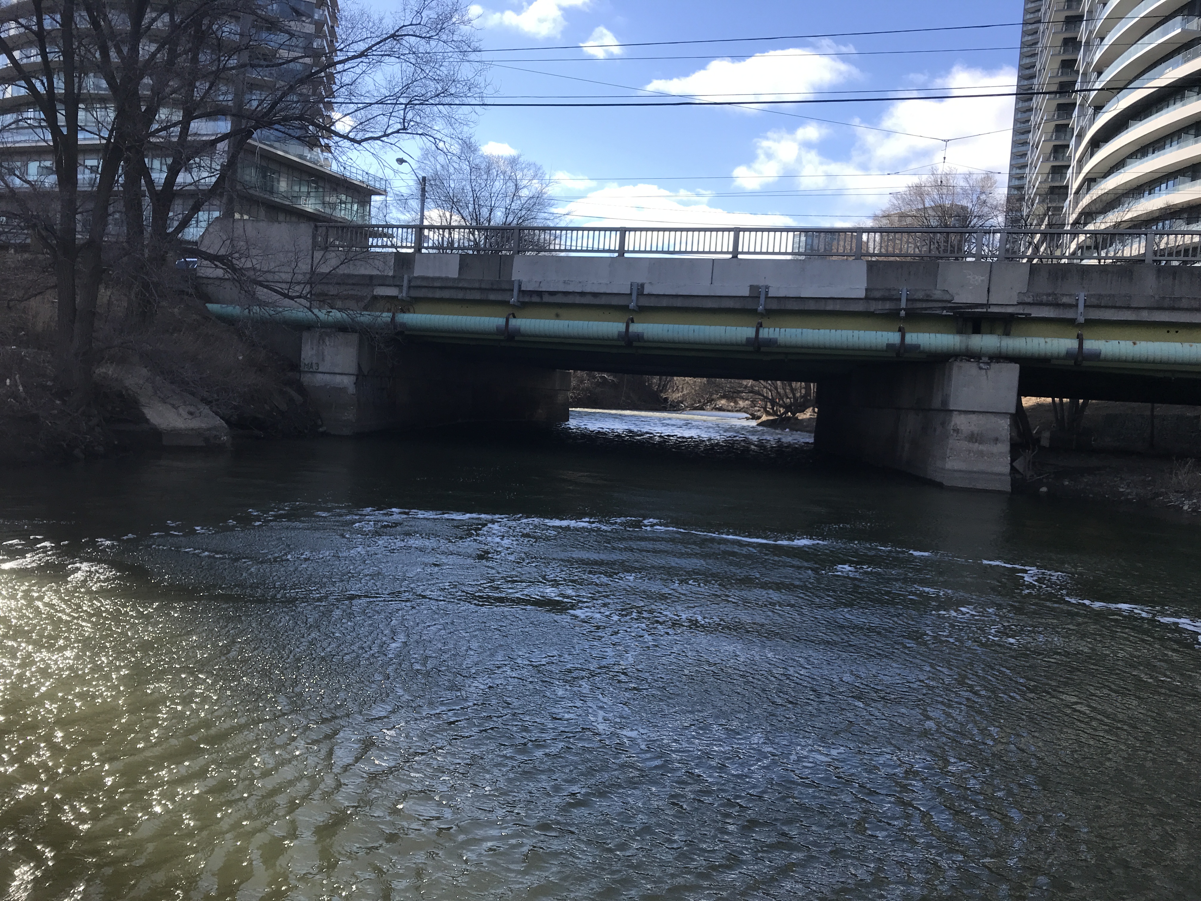
The scope was extended later on to include a portion of Humber Bay Park. As well, the client needed a full bathymetric survey of Mimico Creek performed from the Metrolinx rail bridge to to the Humber Bay Park bridge. This survey consisted of 45 cross sections taken throughout the creek to show channel geometry and highlight areas where banks may be eroding. To safely survey the creek, a crew used Groma’s Argo amphibious vehicle to navigate through the water.
The additional survey work was combined with the initial survey for one complete DTM of the entire study area.
Services Provided

GPS/Total Station
Aerial Drone Surveying
