About The Project
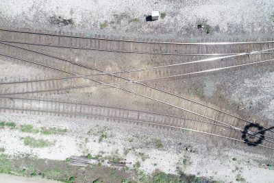
Surveying was completed for a nearly 12km stretch for the CP right of way between Oshawa and Bowmanville, in addition to several bordering properties and road/bridge crossings.
Before flagging protection was arranged, control was set off the corridor before surveying areas that were off of the right-of-way.
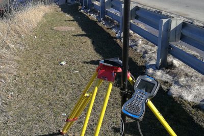
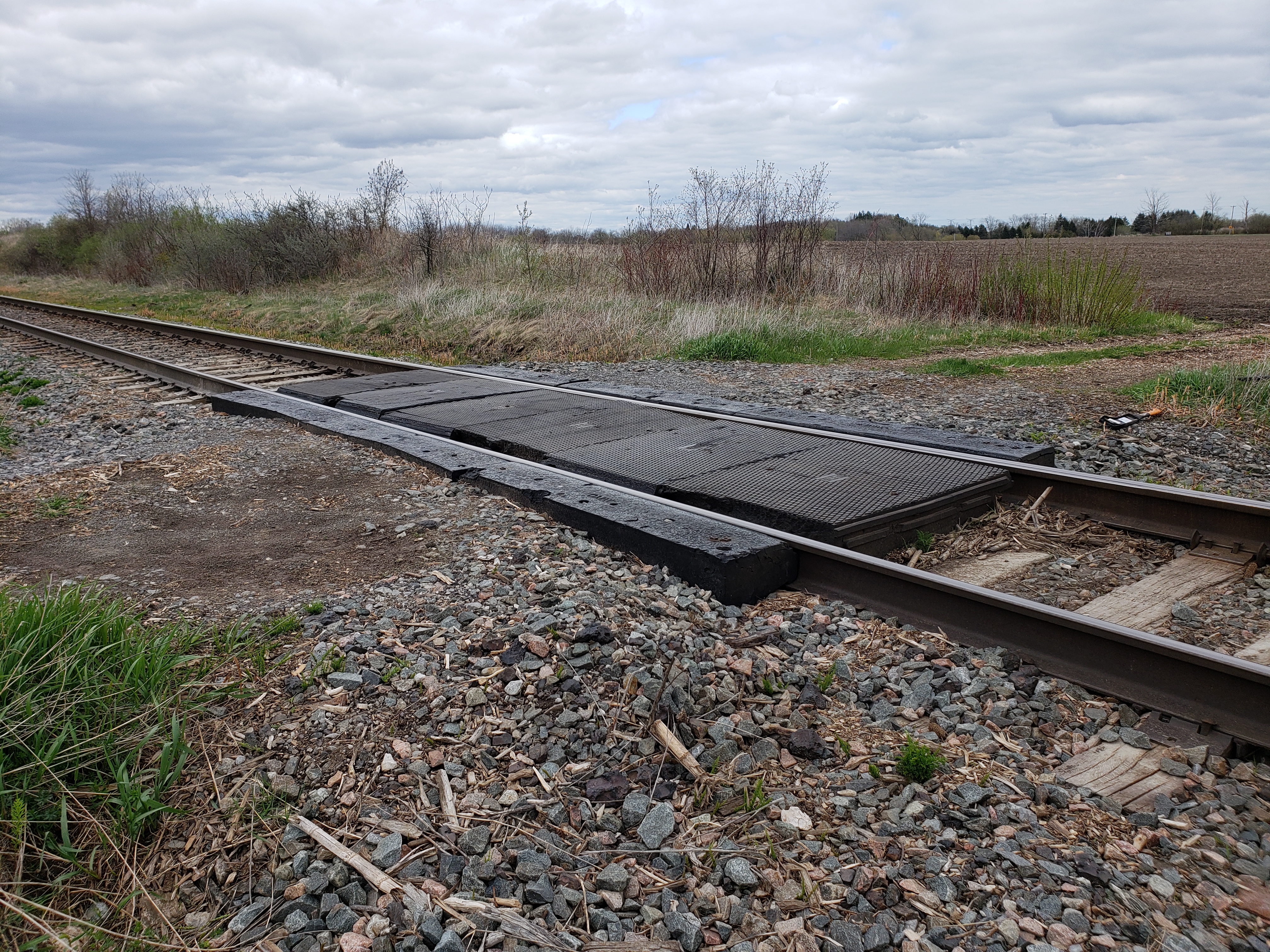
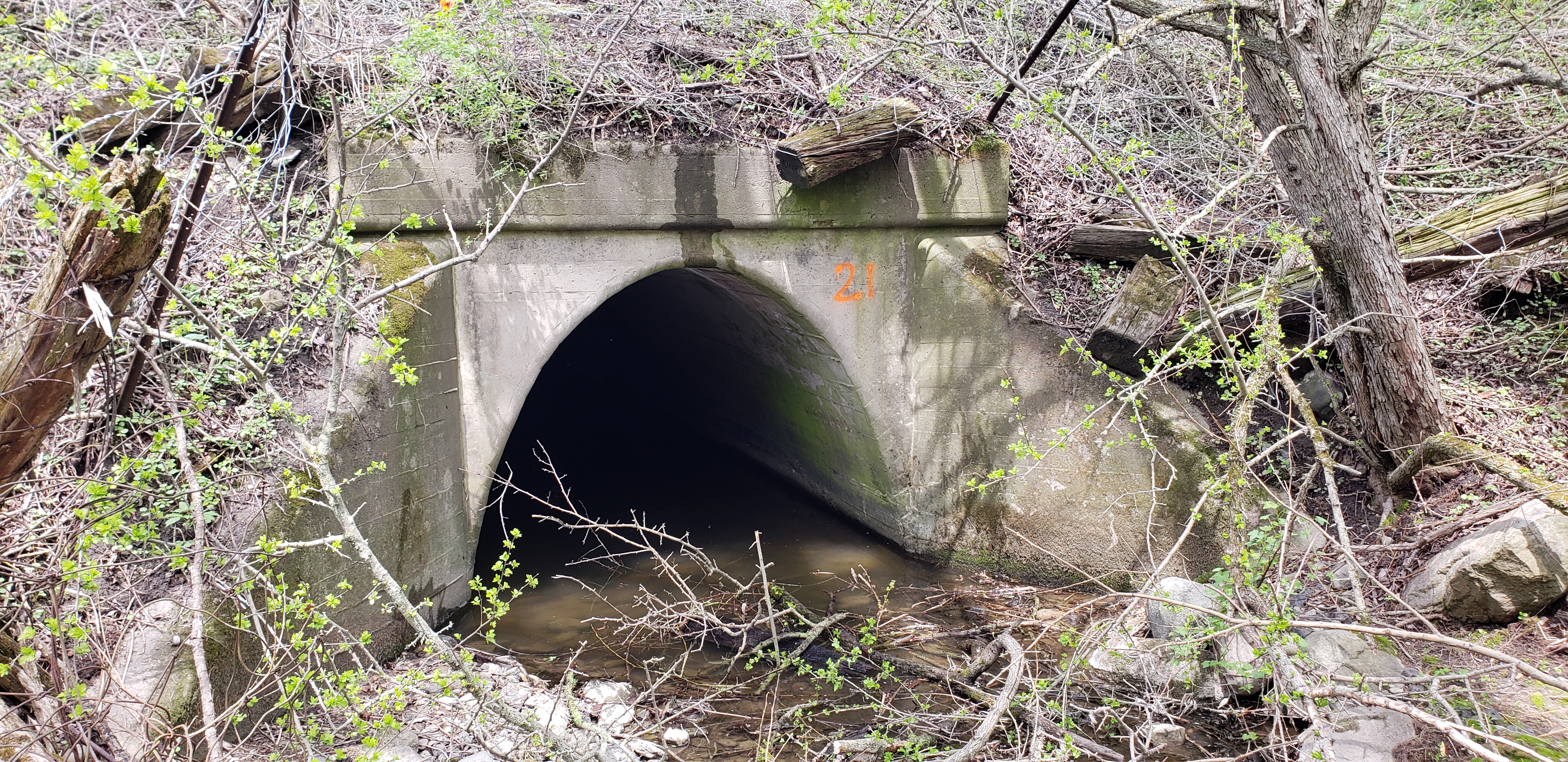
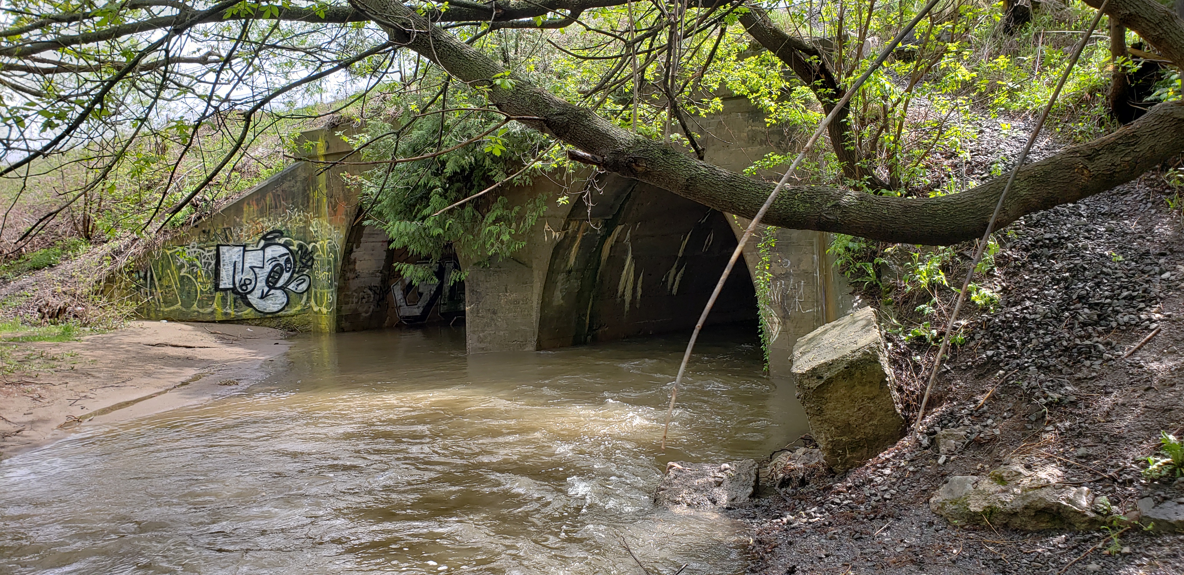
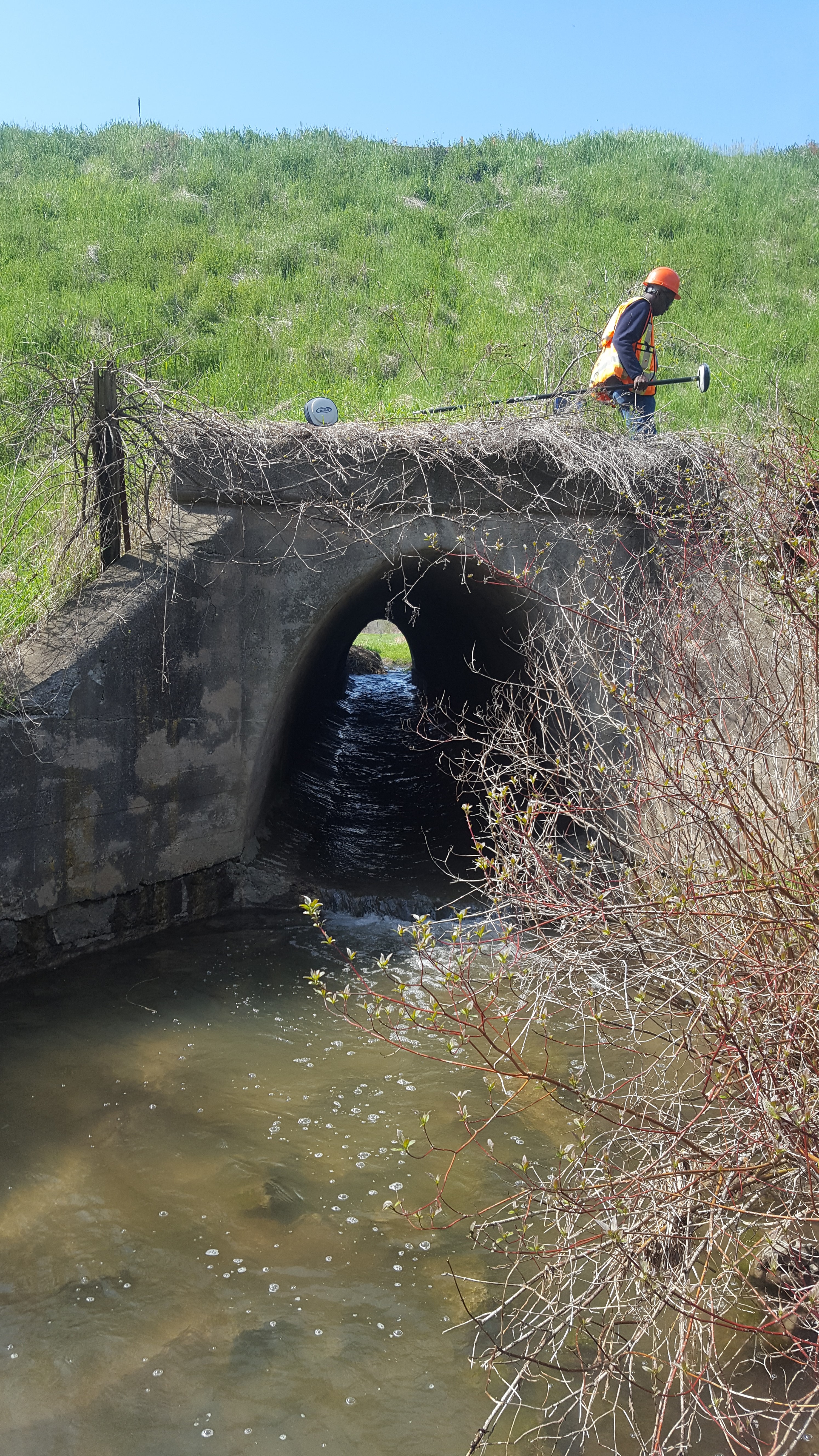
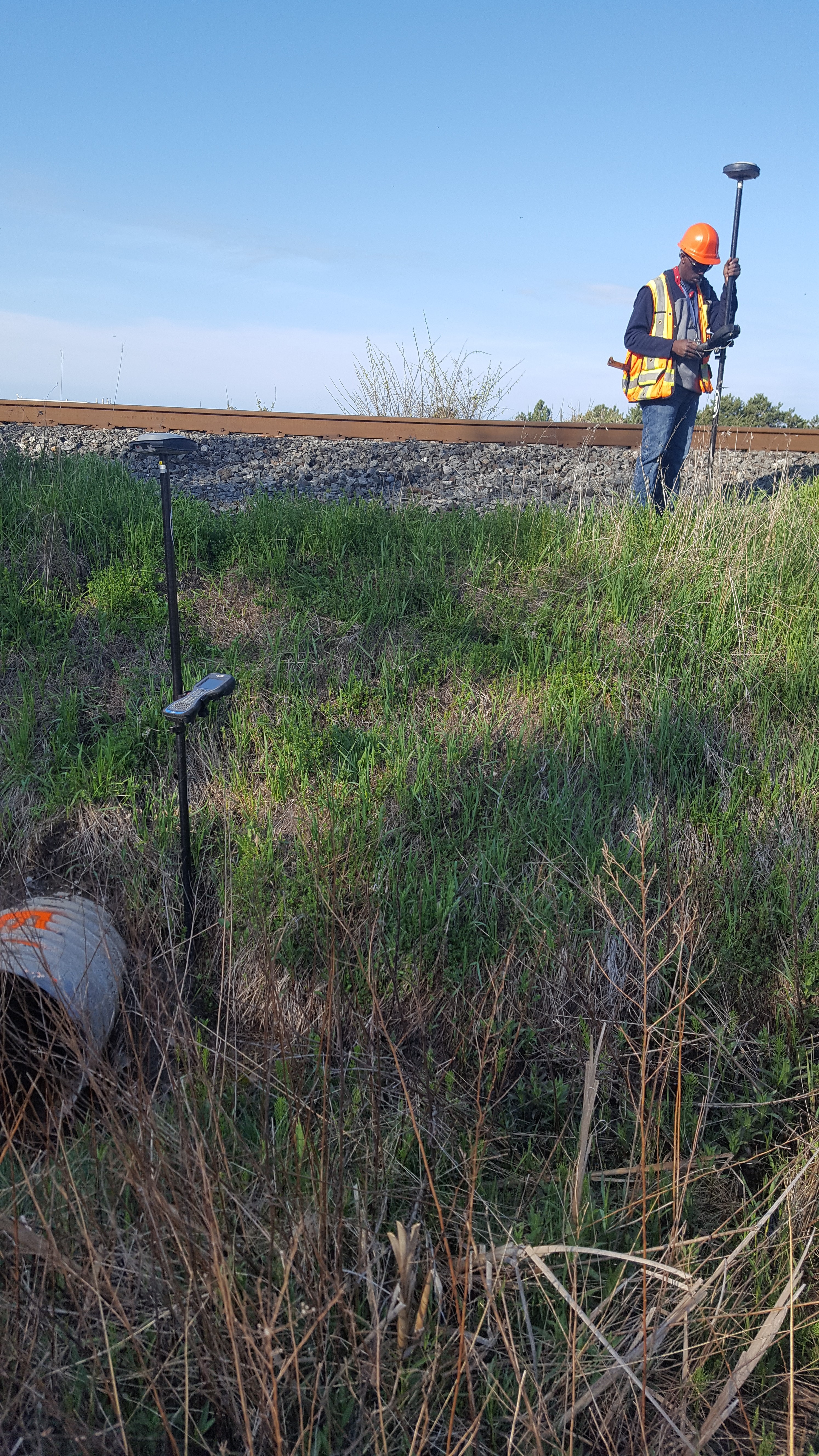
All tracks were surveyed using the GPS cart, supplemented by total station surveying for switches and tops of bridges. Bridges were surveyed using 3D Laser scanning or conventional methods, depending on the bridge, flagging availability and location. All culverts were surveyed by hand and photographed for reference.
The corridor was surveyed using aerial LiDAR technology to capture ground elevations. Areas with water, ditches and heavy vegetation were surveyed by hand to supplement this data. The hydro corridor passing through site was also surveyed by hand (using reflectorless shooting on the total station), since we were unable to fly a drone close to a hydro tower.
Services Provided

3D Laser Scanning
Aerial Drone Surveying
