About The Project
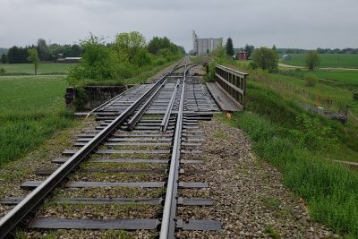
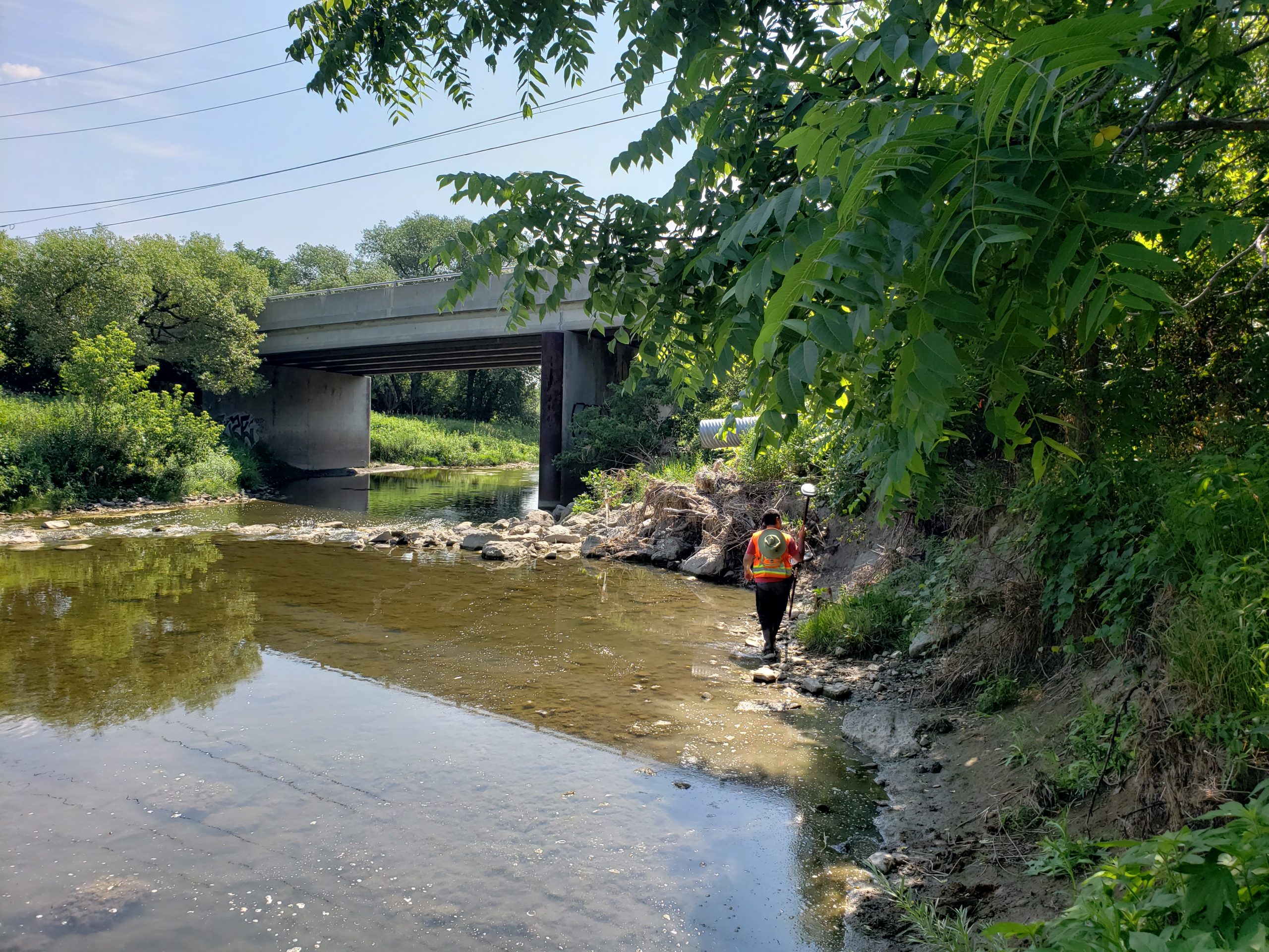
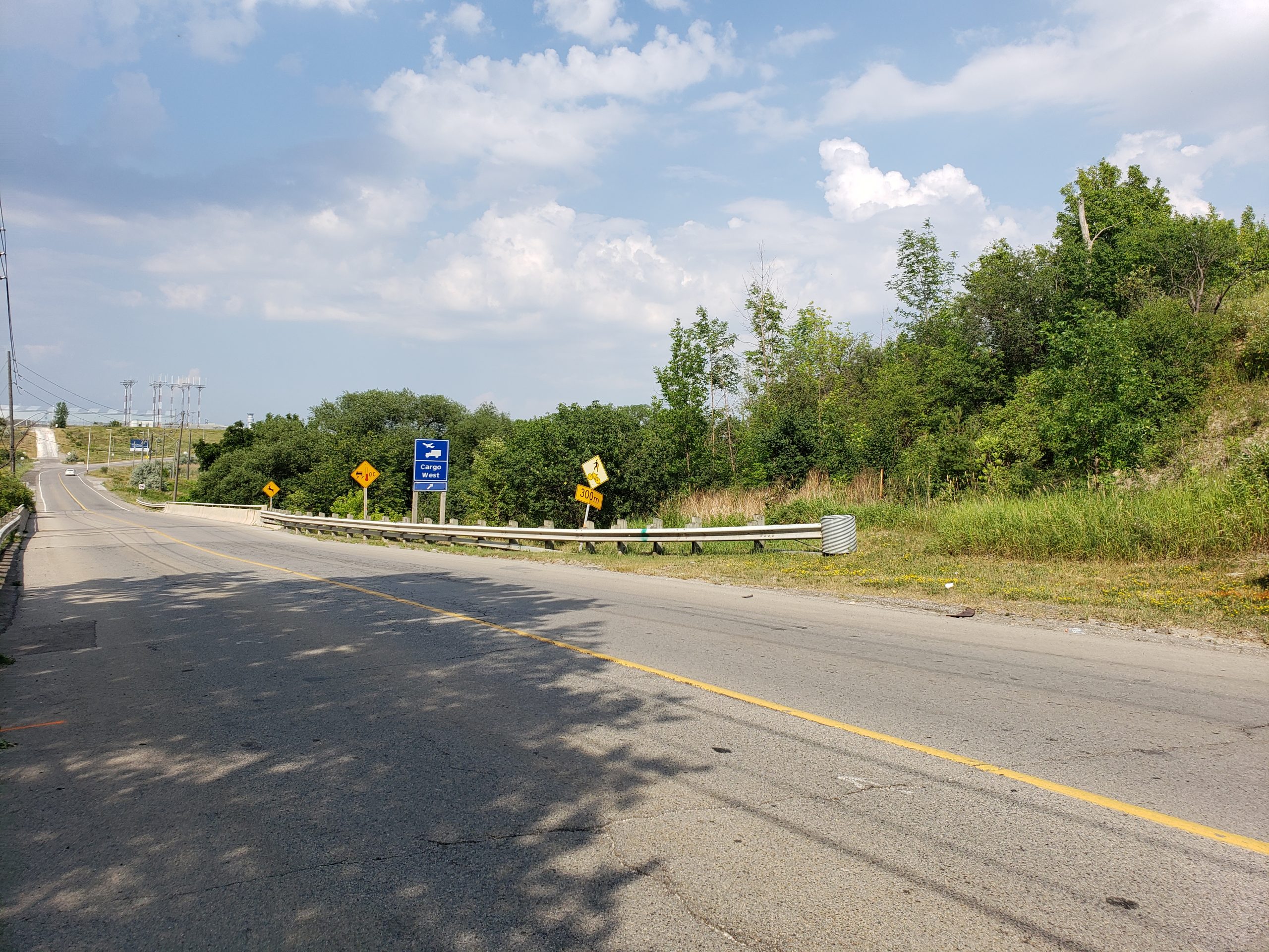
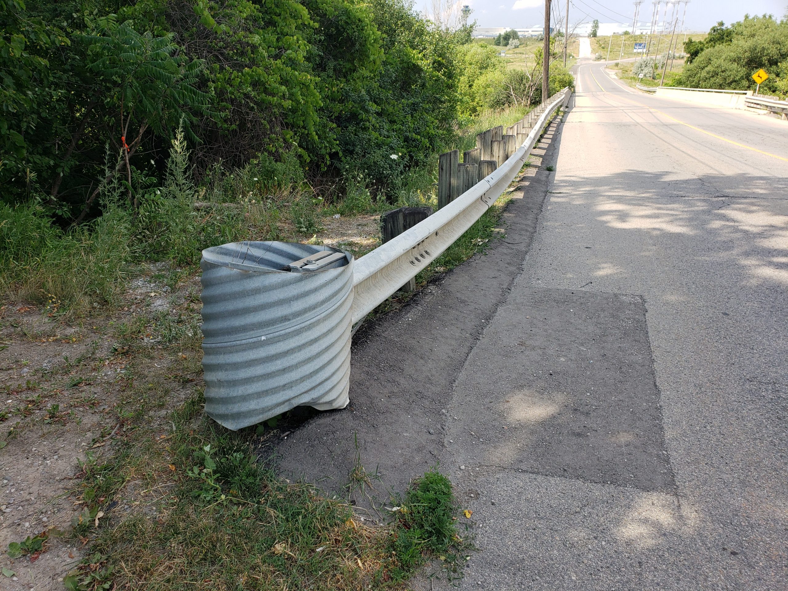
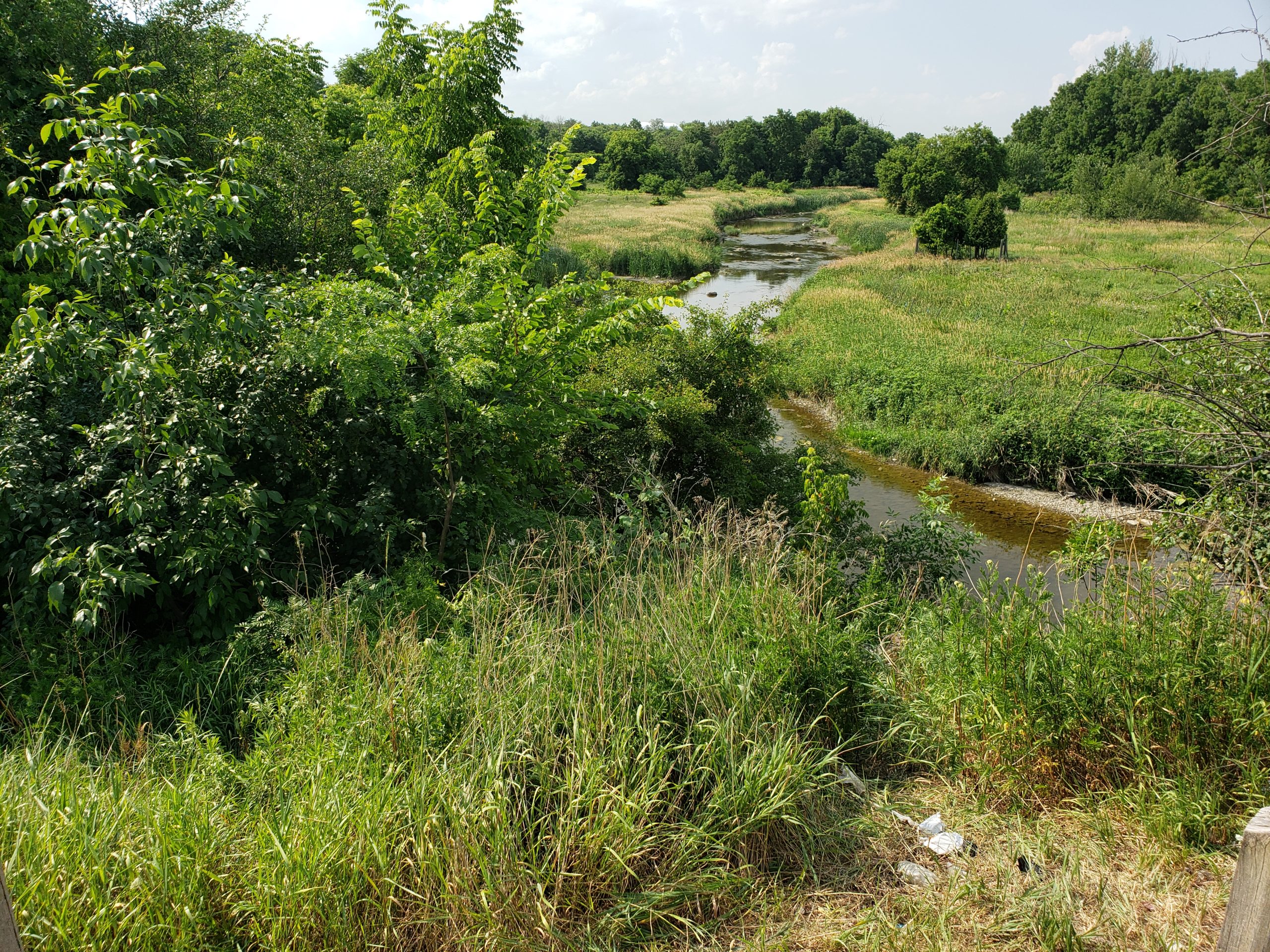
Topographic survey of Britannia Road and slope into creek west of Pearson Airport. Recent erosion was observed at the top of the slope, and material from the roadway was being washed into the creek.
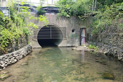
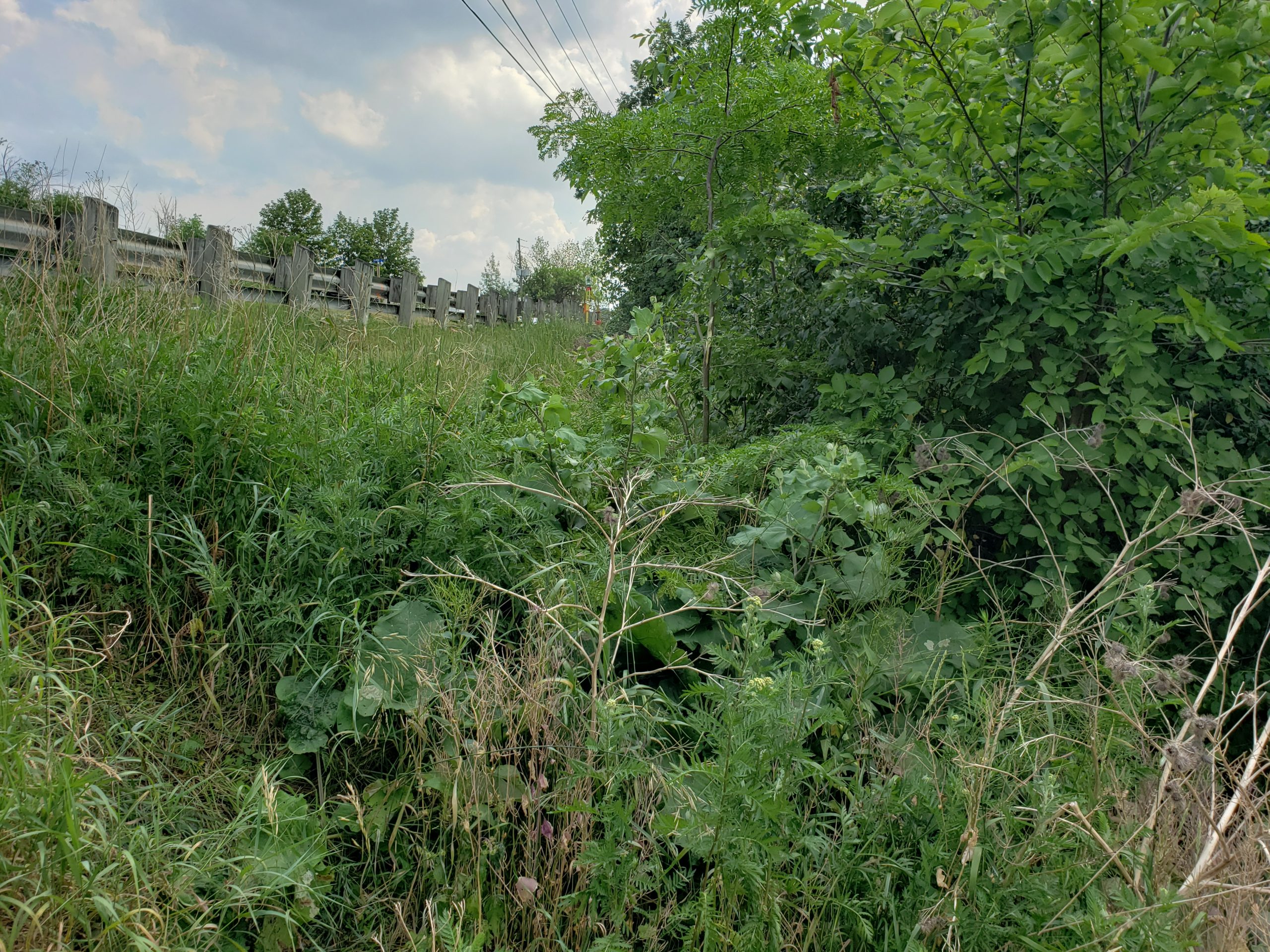
On the roadway surveyors captured all features in addition to invert measurements for sanitary and storm manholes. On the slope, existing drainage features were surveyed, including ditch inlet catchbasins and the culvert draining into the creek. A team of two surveyors surveyed ground points on the slope in order to navigate the dense vegetation.
The client was given a survey points list and survey base plans of the site.
Services Provided

GPS/Total Station
Our field teams use Leica robotic Total Stations, Leica, Trimble, and Topcon GNSS units and Leica DNA03 digital levels to provide a wide range of services for projects of any size; includes topographical surveys, construction layout, control networks, deformation monitoring, site volume calculations, as-built surveys and much more.
