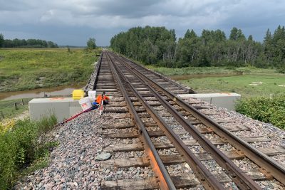
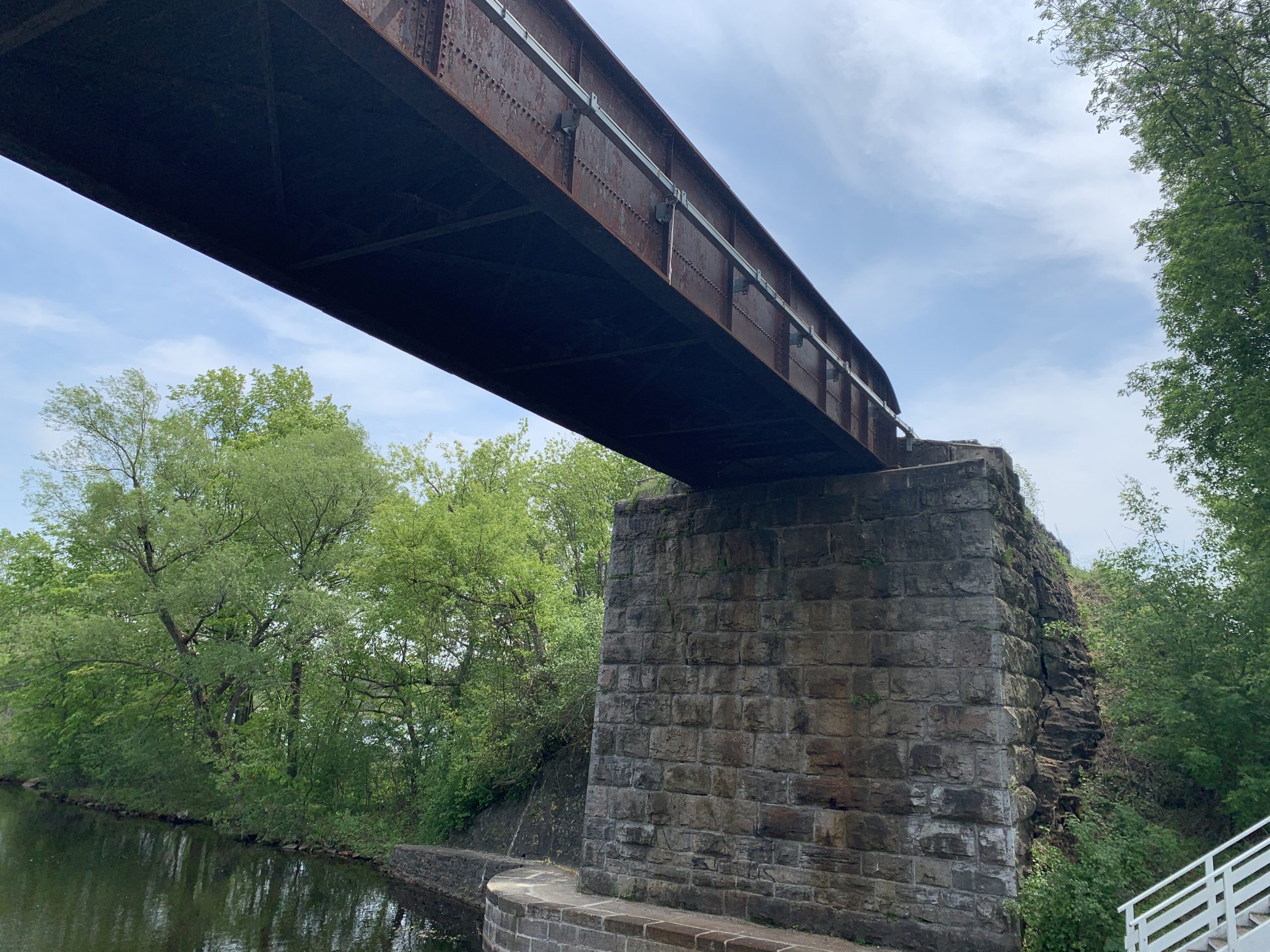
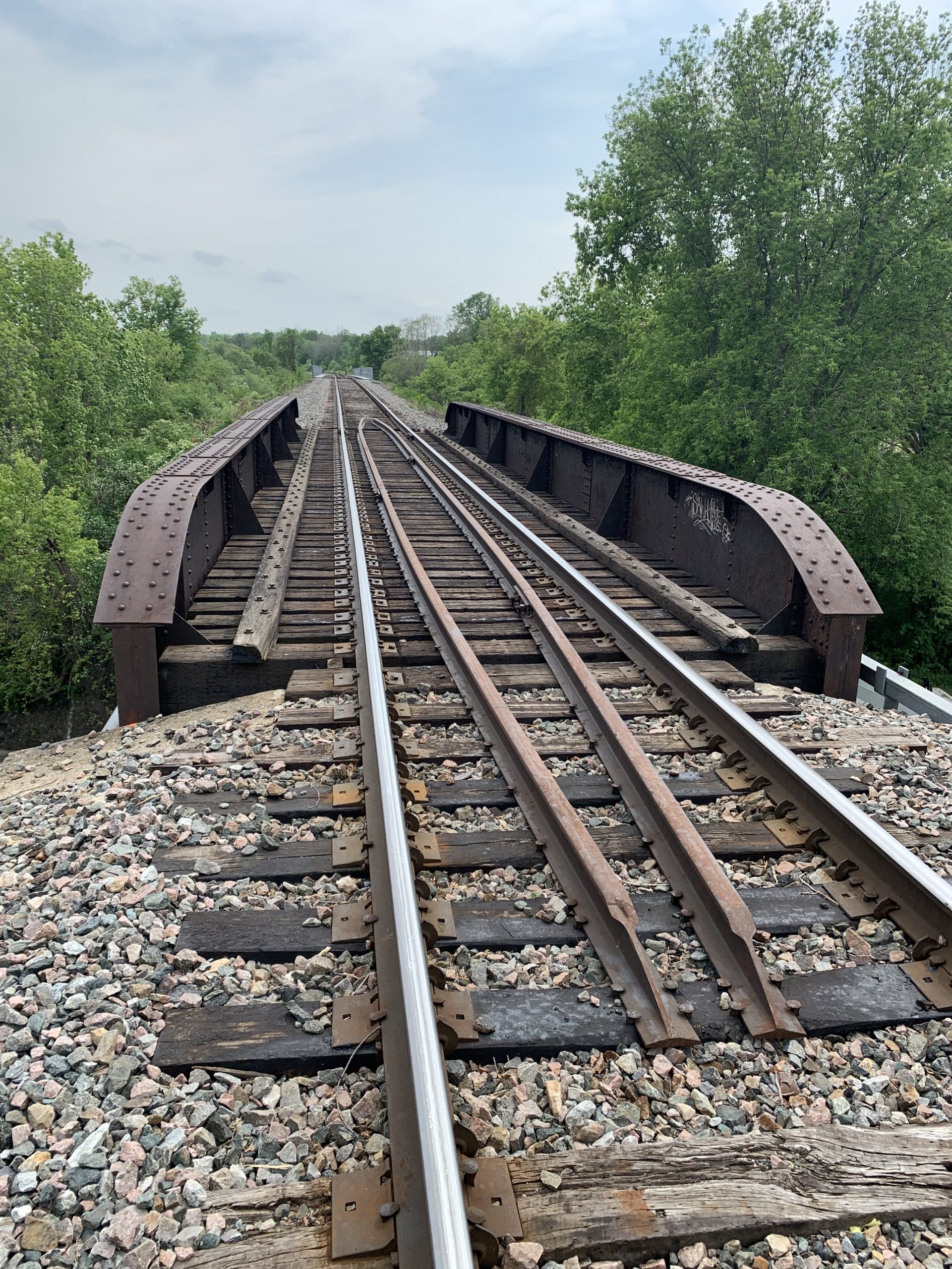
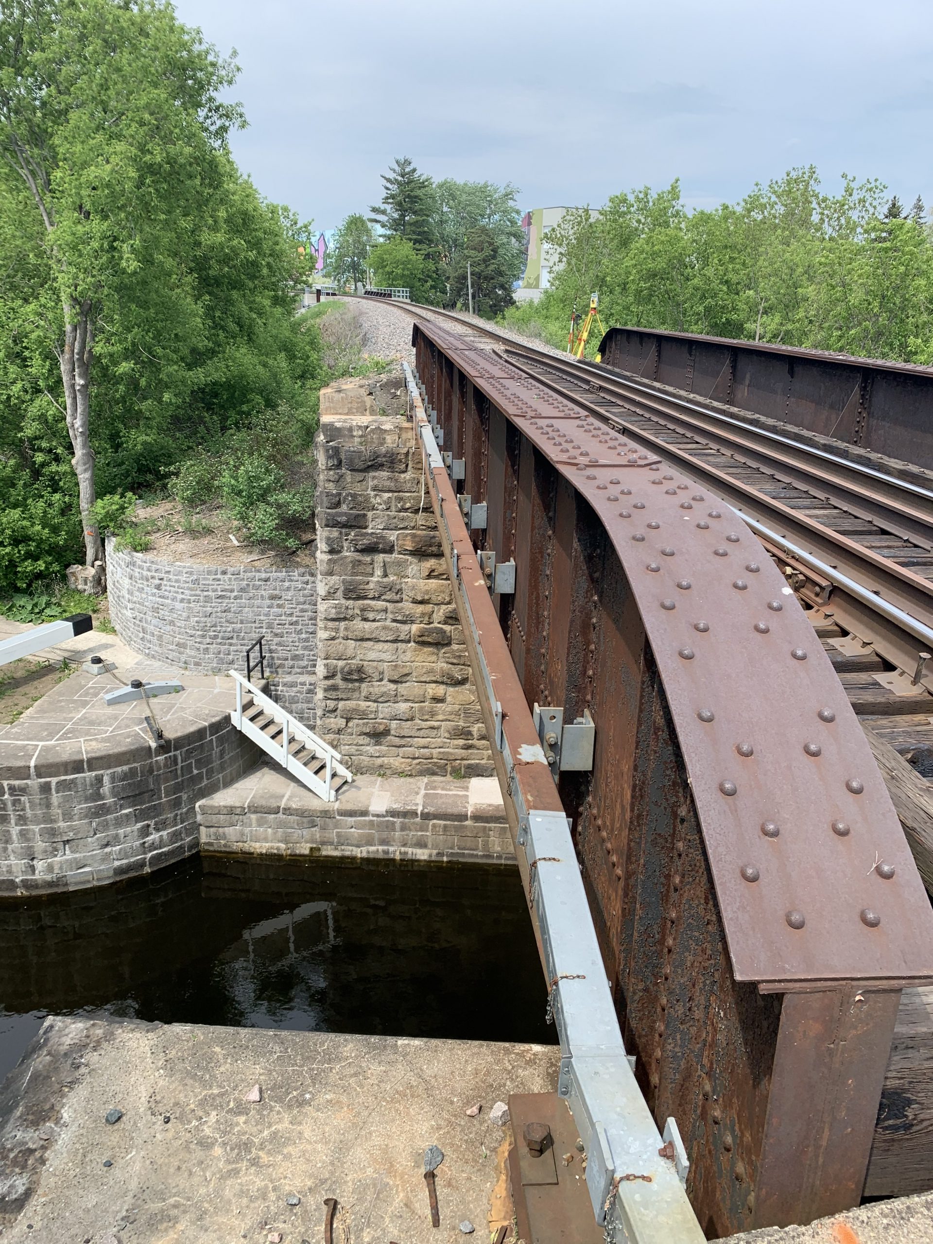
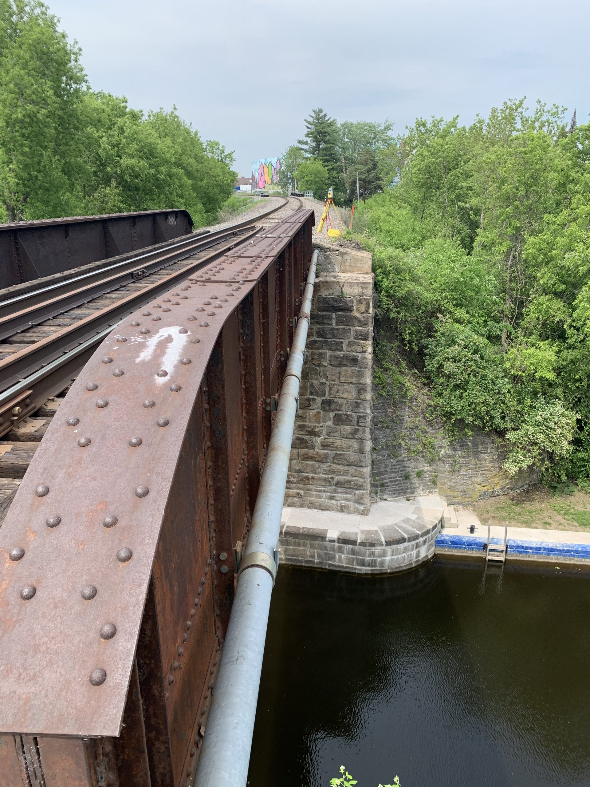
About The Project
Topographic survey of 1300m of rail corridor in Smiths Falls as follows:
-1300m of top of rail surveyed between Lorne St & Jasper Avenue
-Bridge surveys at 2 structures, including top and bottom of steel, backwalls, bridge seats, etc.
-Aerial LiDAR flight to capture ground elevations for 300m, in centre of site limits at Rideau Canal lock stations
The client received CAD survey base plans of the combined conventional survey & LiDAR data, as well as a 3D DTM with contours produced from the aerial drone flight.
Services Provided

GPS/Total Station
Our field teams use Leica robotic Total Stations, Leica, Trimble, and Topcon GNSS units and Leica DNA03 digital levels to provide a wide range of services for projects of any size; includes topographical surveys, construction layout, control networks, deformation monitoring, site volume calculations, as-built surveys and much more.
Aerial Drone Surveying
Using unmanned fixed-wing and rotorcraft we can provide economical ways to perform aerial surveys. Our drones can be launched and sent to remote or hazardous locations to gather survey data or perform visual inspections. Using LiDAR techniques, the data can be used to provide geo-referenced results in a variety of formats.
