About The Project
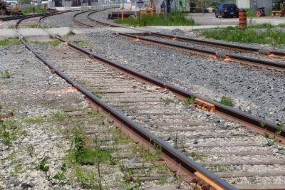
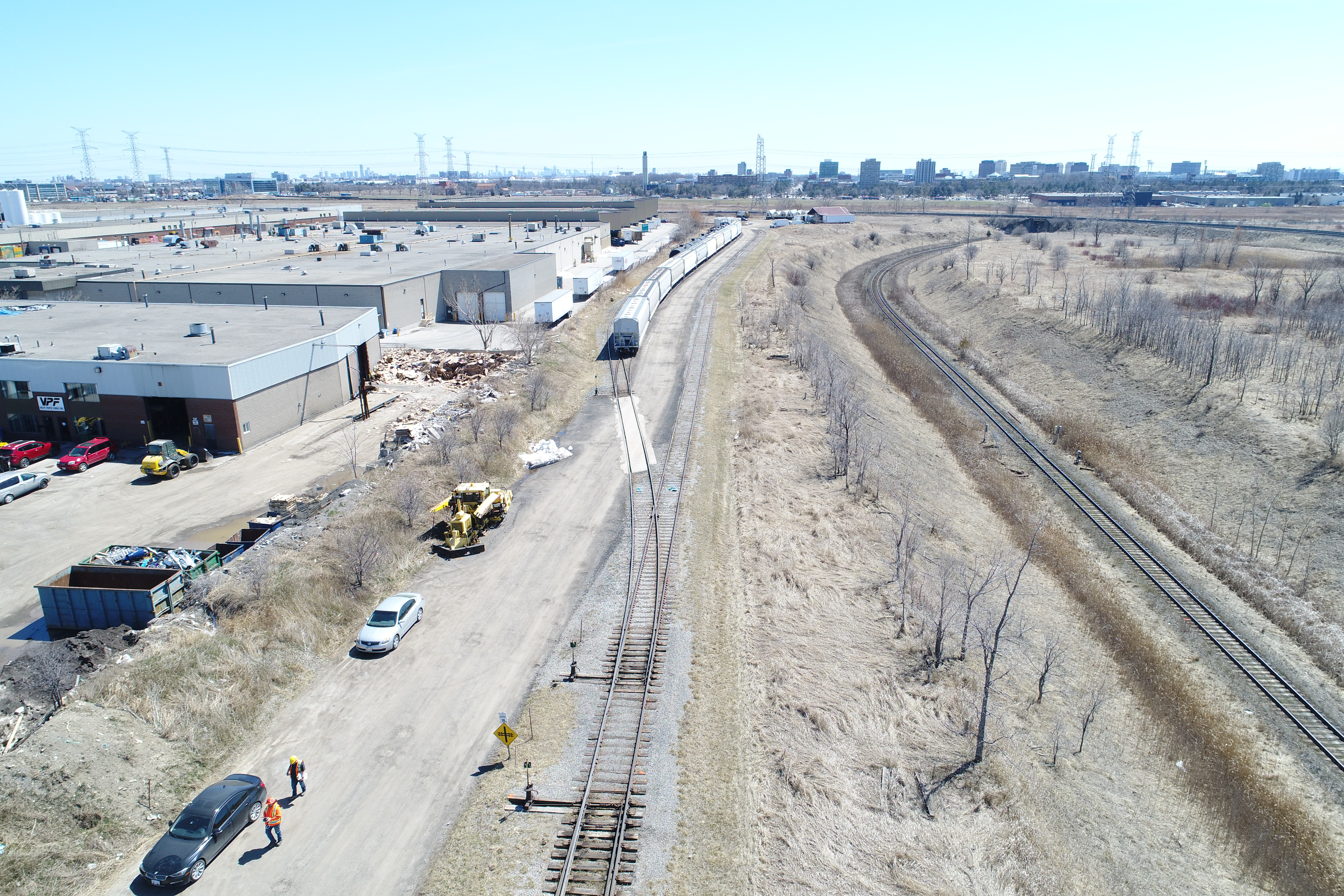
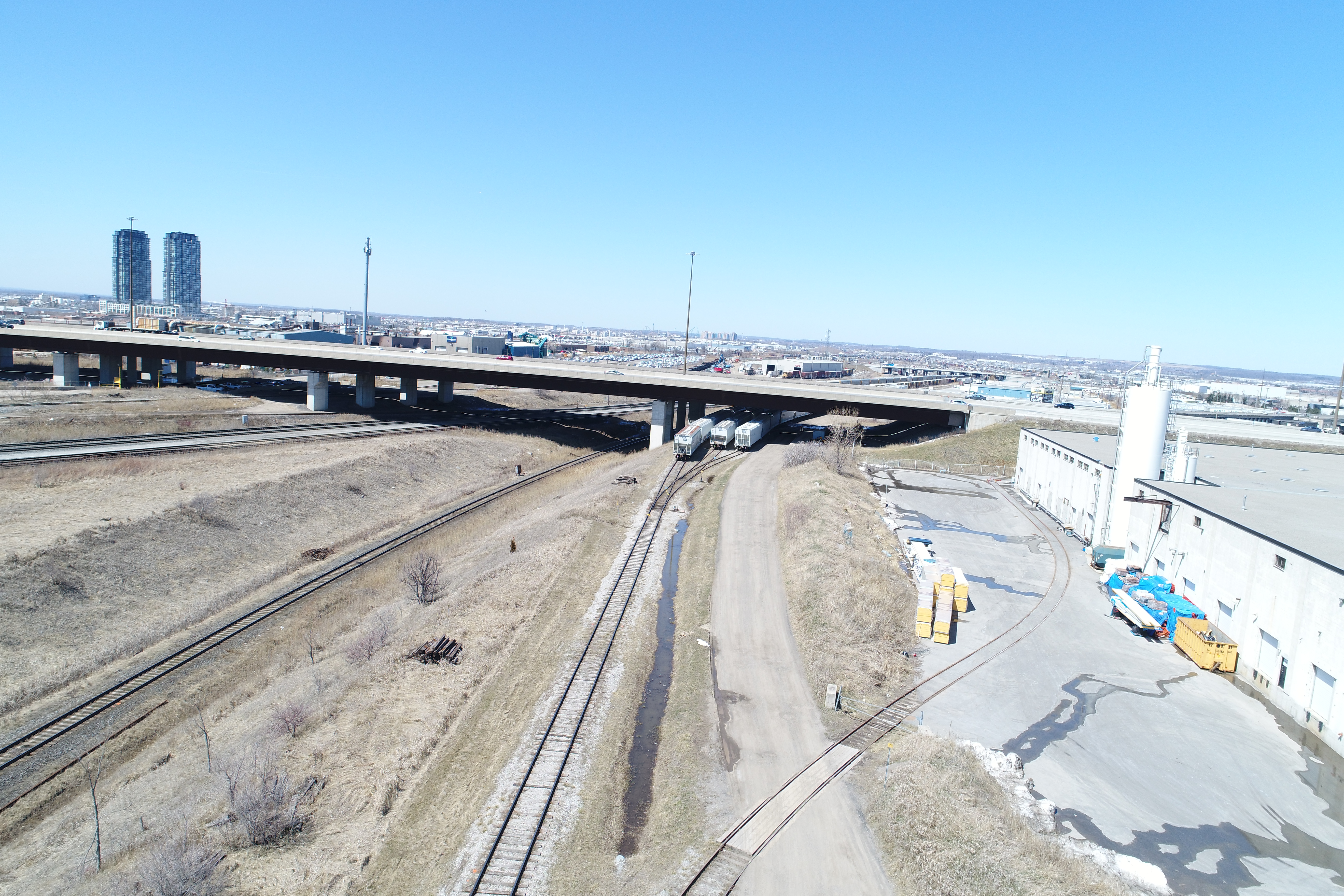
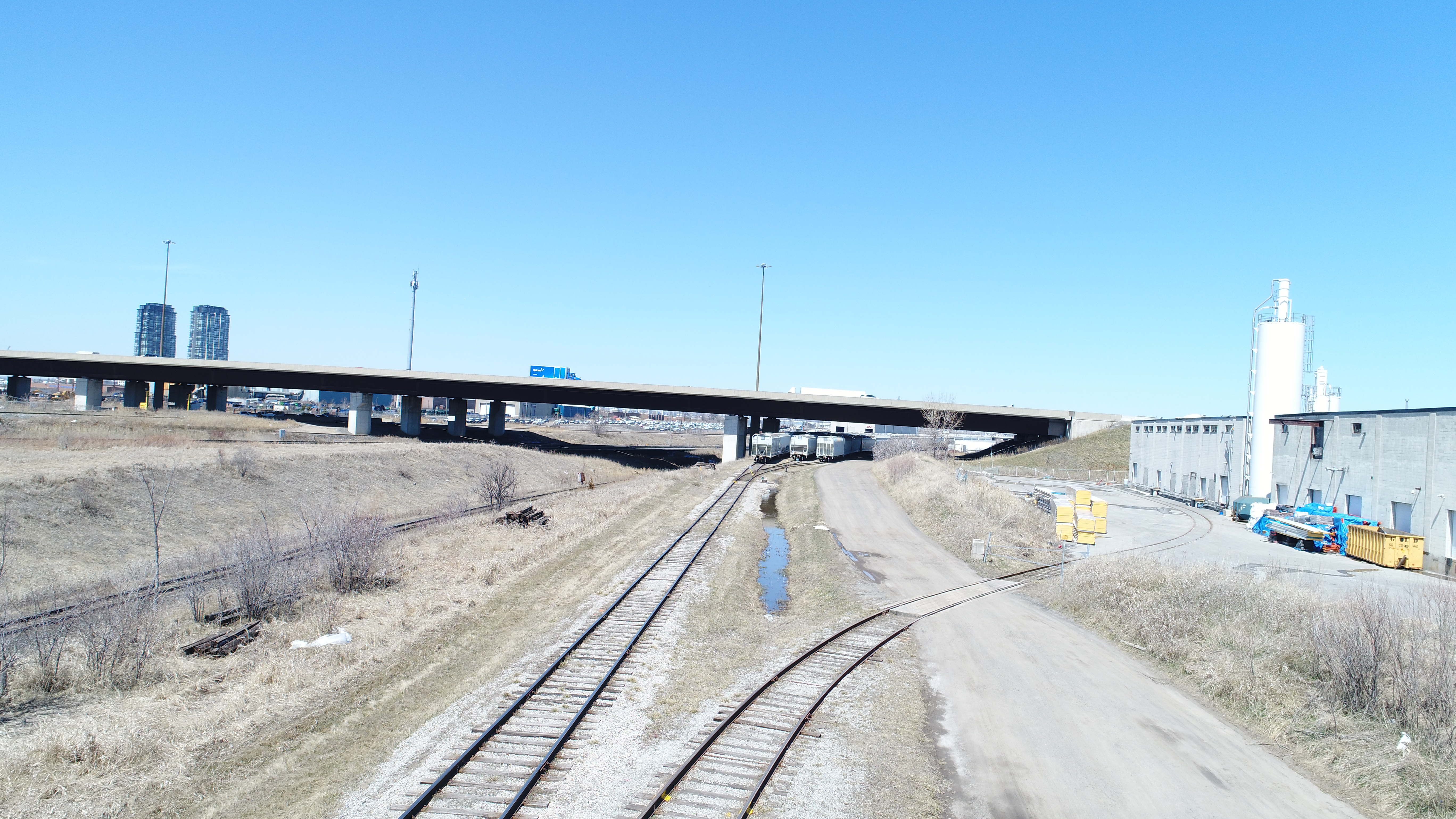
A topographic survey of top rail & an aerial drone flight were completed at this site, as part of a bank stabilization assessment.
Deliverables included 2D/3D CADD survey files of the rails, as well as ortho photos and a Recap point cloud generated from the drone flight. The client also requested profiles of the ground surface of the bank. Profiles were made in Civil 3D at equally spaced stations, referenced to the track east of the bank.
Services Provided

Aerial Drone Surveying
Using unmanned fixed-wing and rotorcraft we can provide economical ways to perform aerial surveys. Our drones can be launched and sent to remote or hazardous locations to gather survey data or perform visual inspections. Using LiDAR techniques, the data can be used to provide geo-referenced results in a variety of formats.
GPS/Total Station
Our field teams use Leica robotic Total Stations, Leica, Trimble, and Topcon GNSS units and Leica DNA03 digital levels to provide a wide range of services for projects of any size; includes topographical surveys, construction layout, control networks, deformation monitoring, site volume calculations, as-built surveys and much more.
