
About The Project
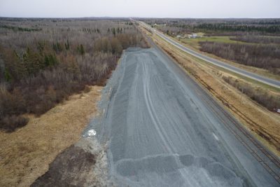
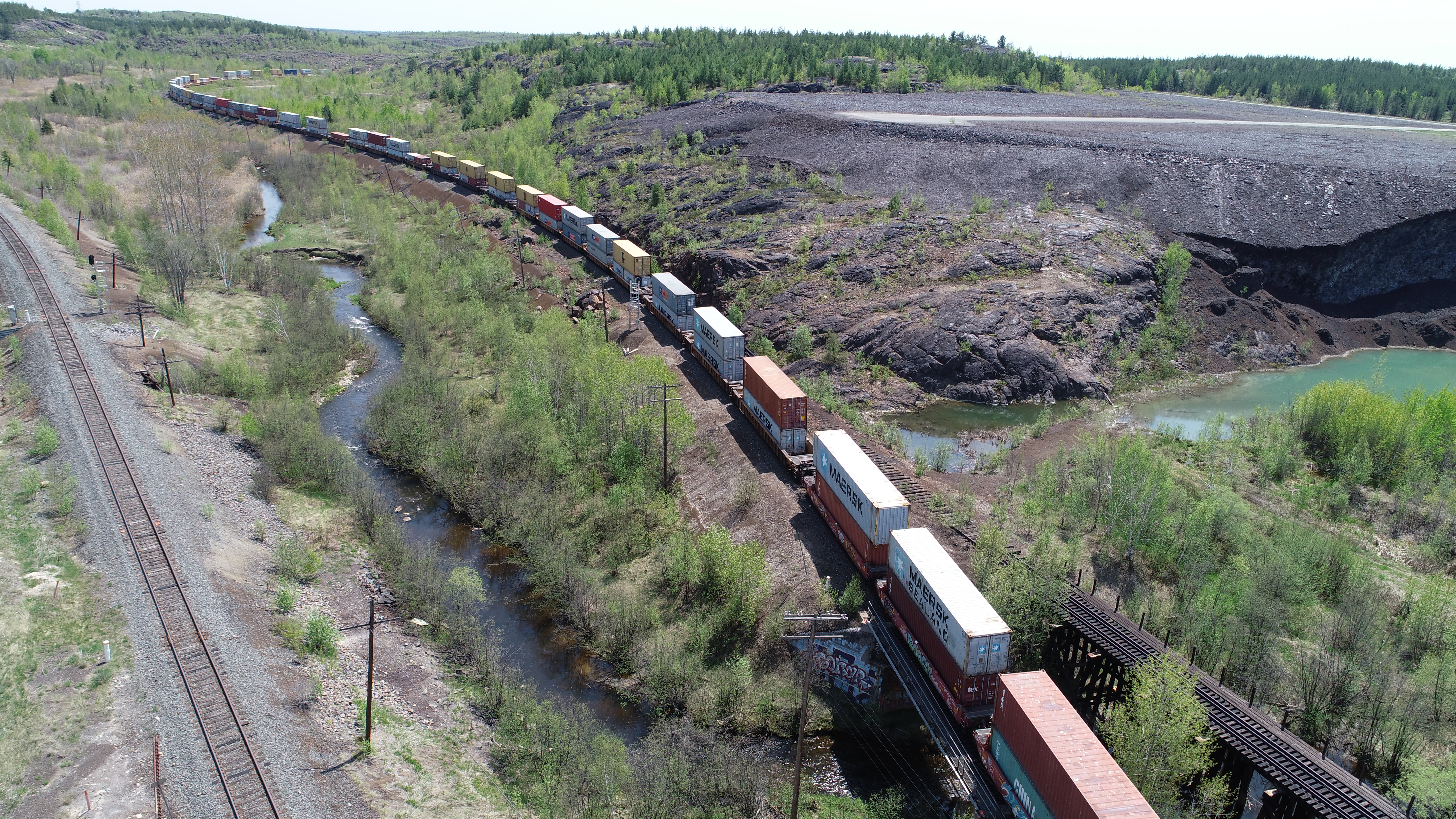
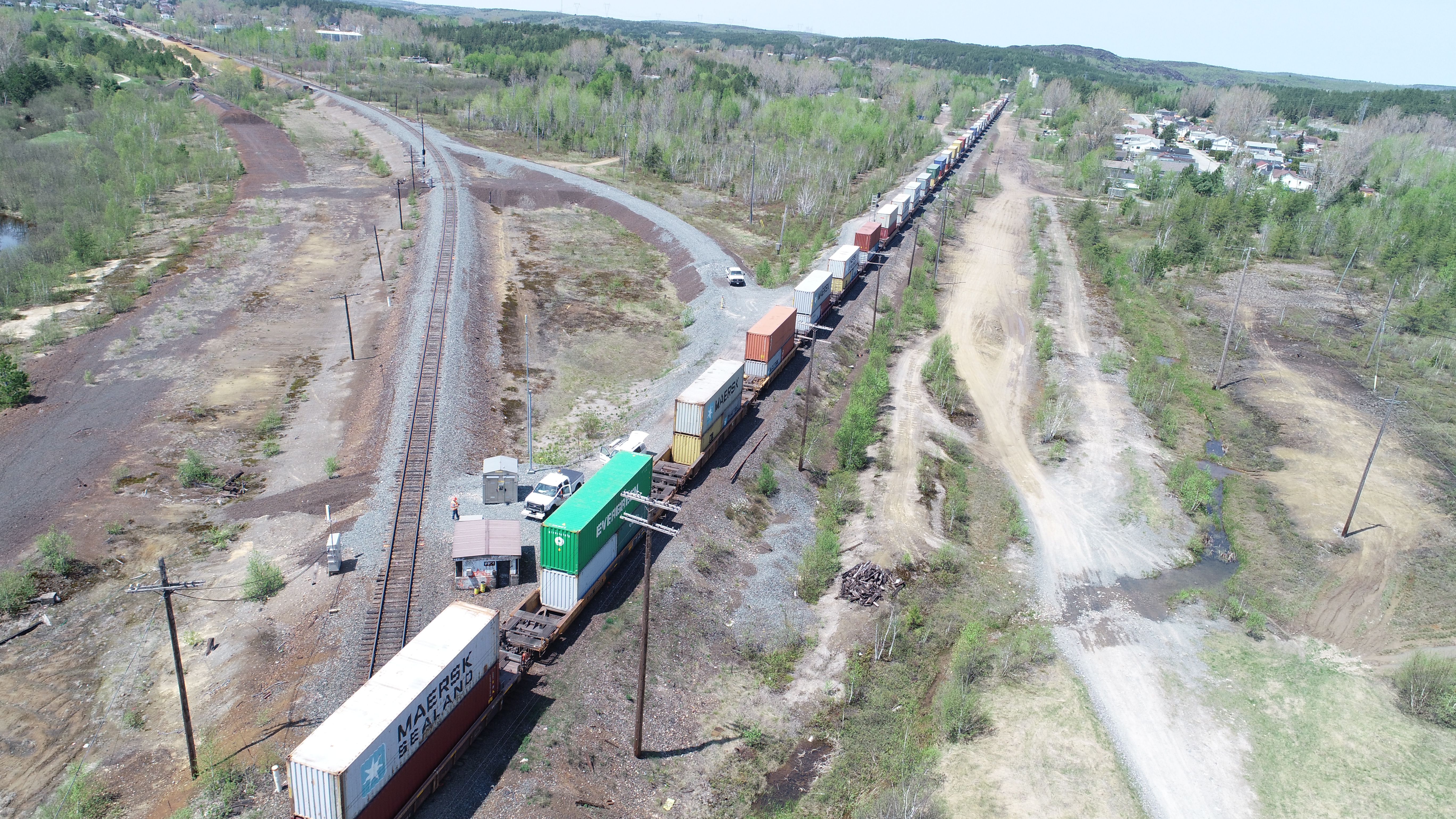
Combined aerial & top of rail survey at the Coniston Diamond (Coniston, ON).
An aerial drone flight was completed to produce point cloud and ortho photo deliverables. A survey was also done of the top of rail through the diamond, using the GPS cart. Using the cart allows a surveyor to cover a long distance over a fairly short amount of time, taking many top of rail points at gauge.
Services Provided

Aerial Drone Surveying
Using unmanned fixed-wing and rotorcraft we can provide economical ways to perform aerial surveys. Our drones can be launched and sent to remote or hazardous locations to gather survey data or perform visual inspections. Using LiDAR techniques, the data can be used to provide geo-referenced results in a variety of formats.
GPS/Total Station
Our field teams use Leica robotic Total Stations, Leica, Trimble, and Topcon GNSS units and Leica DNA03 digital levels to provide a wide range of services for projects of any size; includes topographical surveys, construction layout, control networks, deformation monitoring, site volume calculations, as-built surveys and much more.
