About The Project
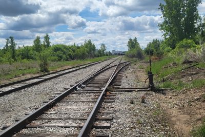
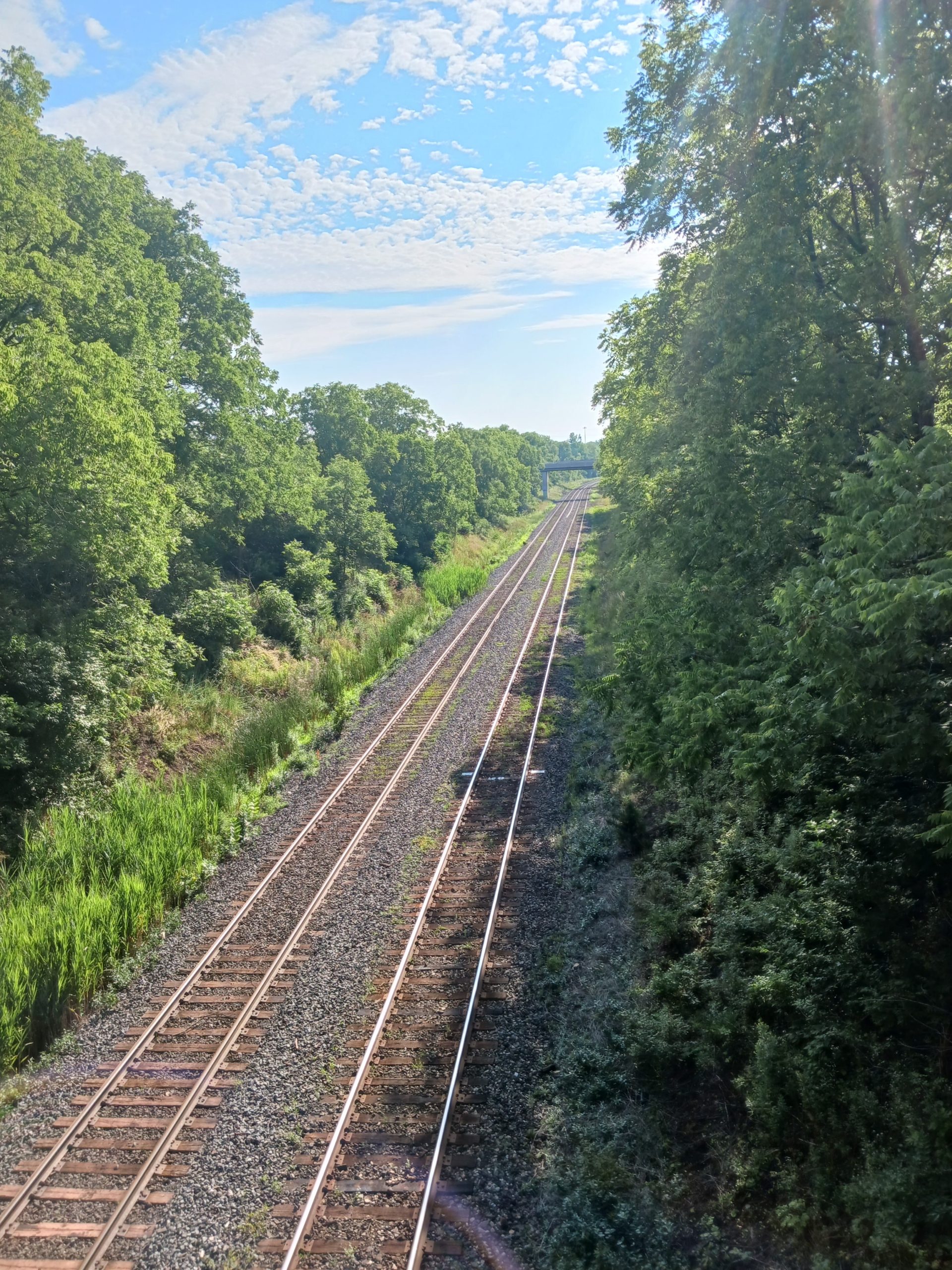
Topographic survey of 575m of rail corridor (north side only) on the CN Dundas subdivision, west of Old Guelph Road.
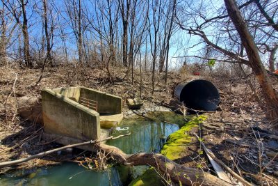
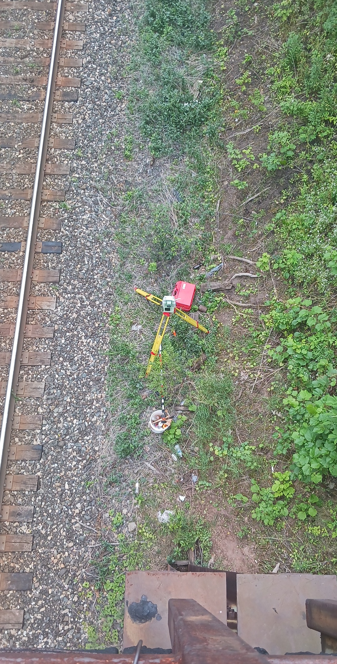
Because of the extreme slopes on the north side, these areas of the site were surveyed using aerial LiDAR, with the drone data tied into targets set on track level. Top of rail, culverts and lids, and the pedestrian bridge overpass were all surveyed by hand using total station equipment.
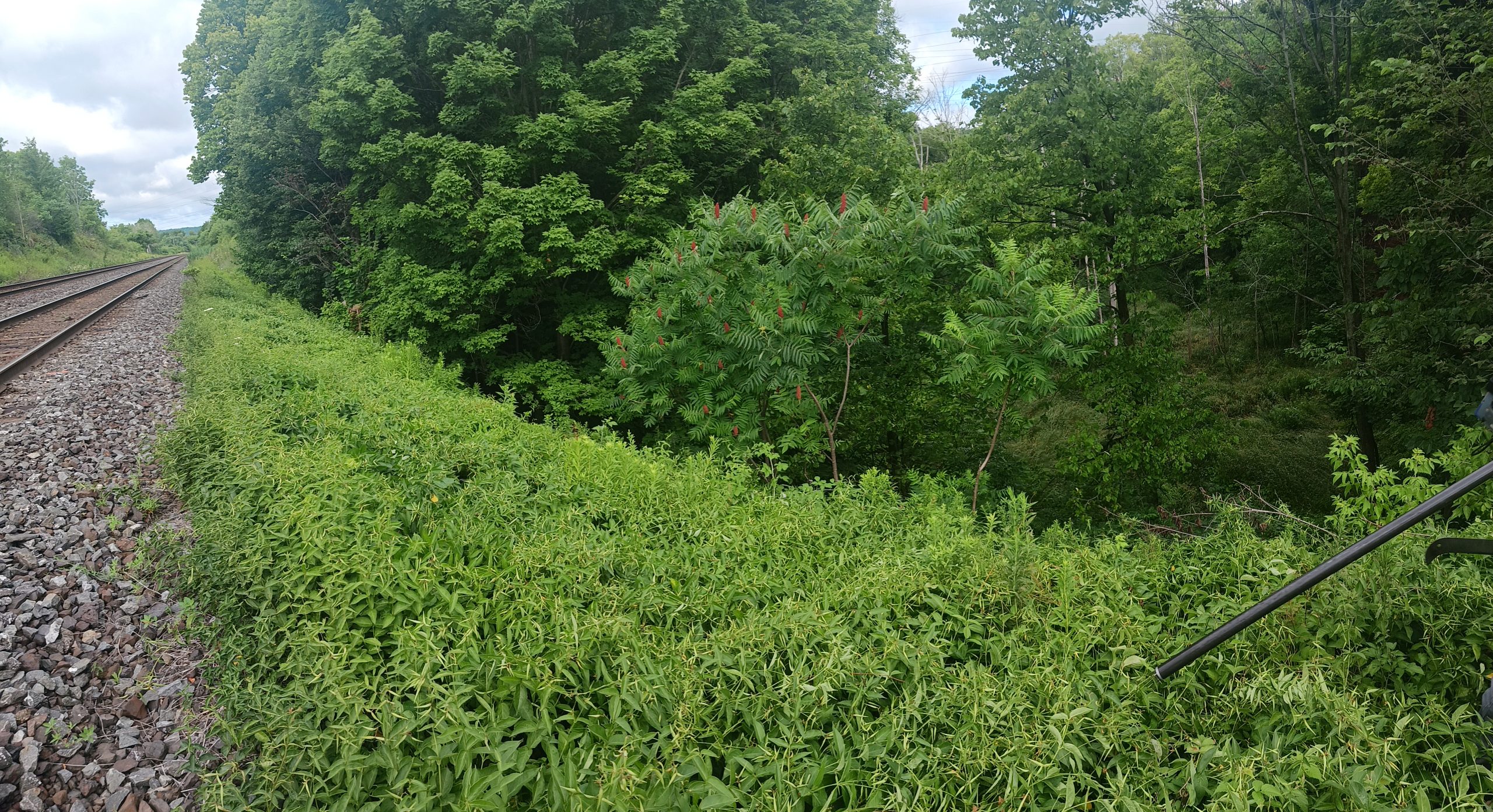
Following the completion of design for the new survey, Groma returned to the site in late 2022 to provide layout for the new north ditch grading. Groma also provided survey support for the lifts on a portion of the north track.
Services Provided

Aerial Drone Surveying
Using unmanned fixed-wing and rotorcraft we can provide economical ways to perform aerial surveys. Our drones can be launched and sent to remote or hazardous locations to gather survey data or perform visual inspections. Using LiDAR techniques, the data can be used to provide geo-referenced results in a variety of formats.
GPS/Total Station
Our field teams use Leica robotic Total Stations, Leica, Trimble, and Topcon GNSS units and Leica DNA03 digital levels to provide a wide range of services for projects of any size; includes topographical surveys, construction layout, control networks, deformation monitoring, site volume calculations, as-built surveys and much more.
