About The Project
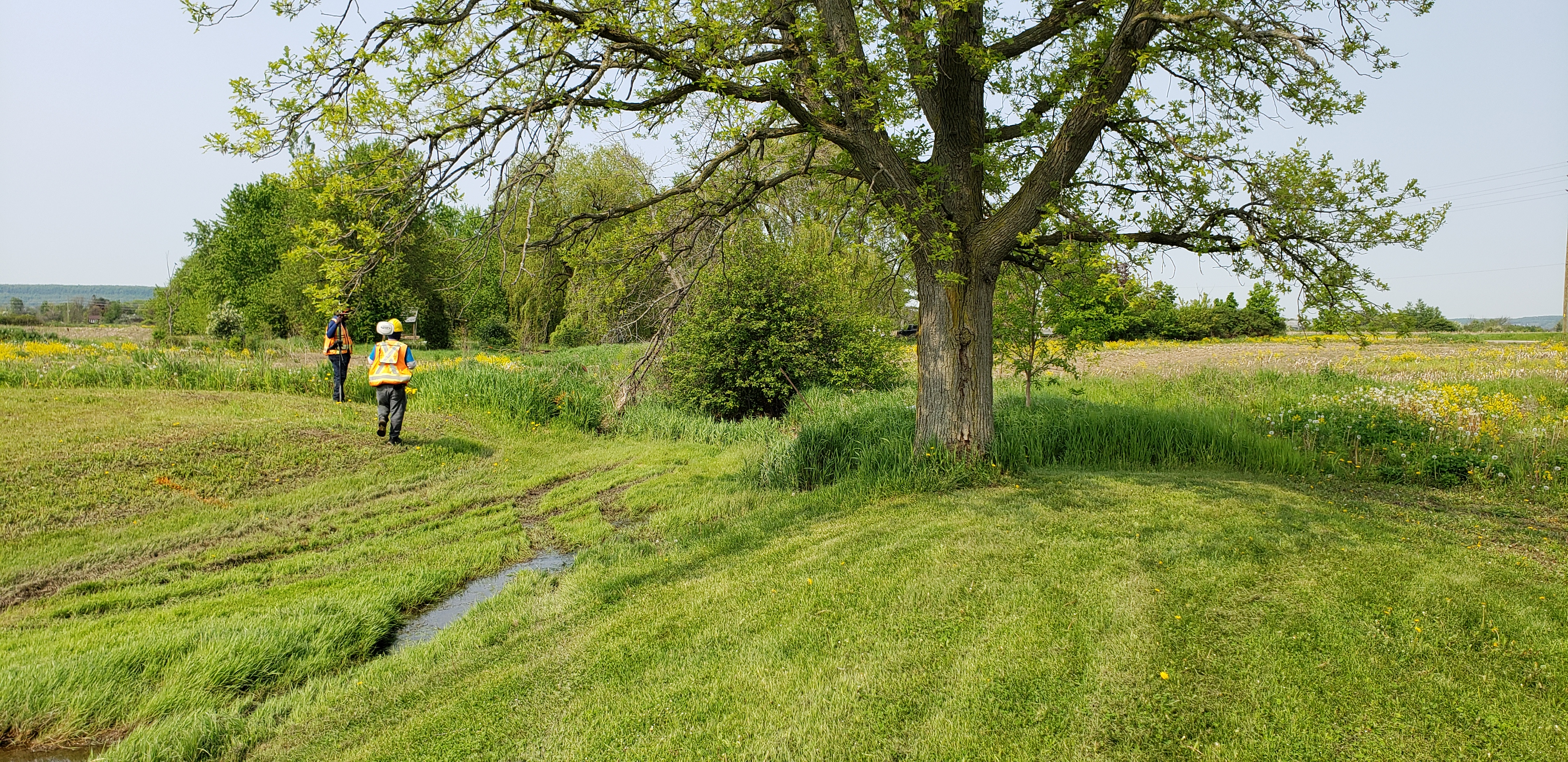
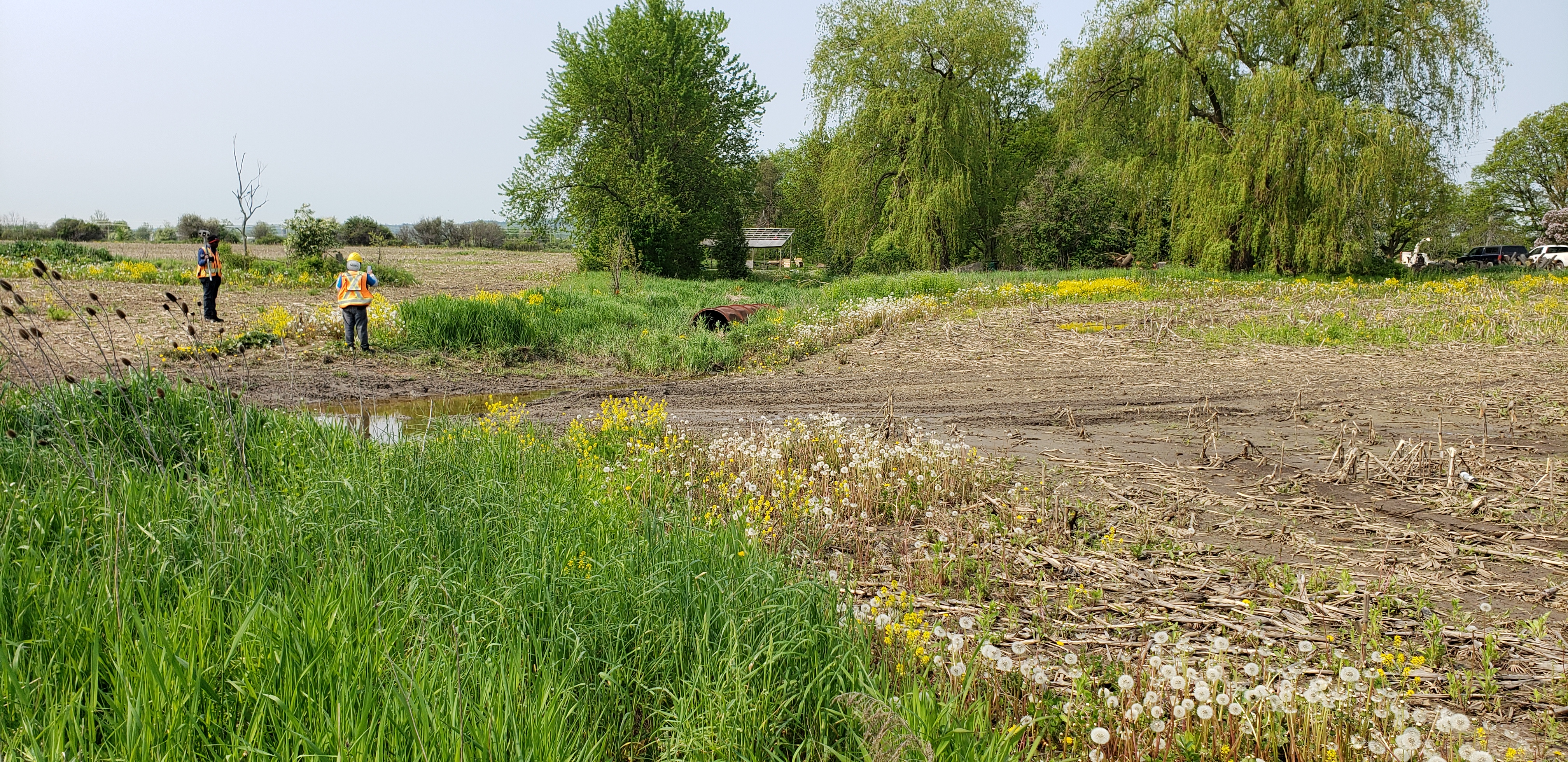
150m channel survey south of Lower Base Line in Milton. Cross sections were taken through the stream for information on basic channel geometry. Surveyors also gathered information on culverts within the channel limits.
Services Provided

GPS/Total Station
Our field teams use Leica robotic Total Stations, Leica, Trimble, and Topcon GNSS units and Leica DNA03 digital levels to provide a wide range of services for projects of any size; includes topographical surveys, construction layout, control networks, deformation monitoring, site volume calculations, as-built surveys and much more.


