About The Project
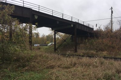
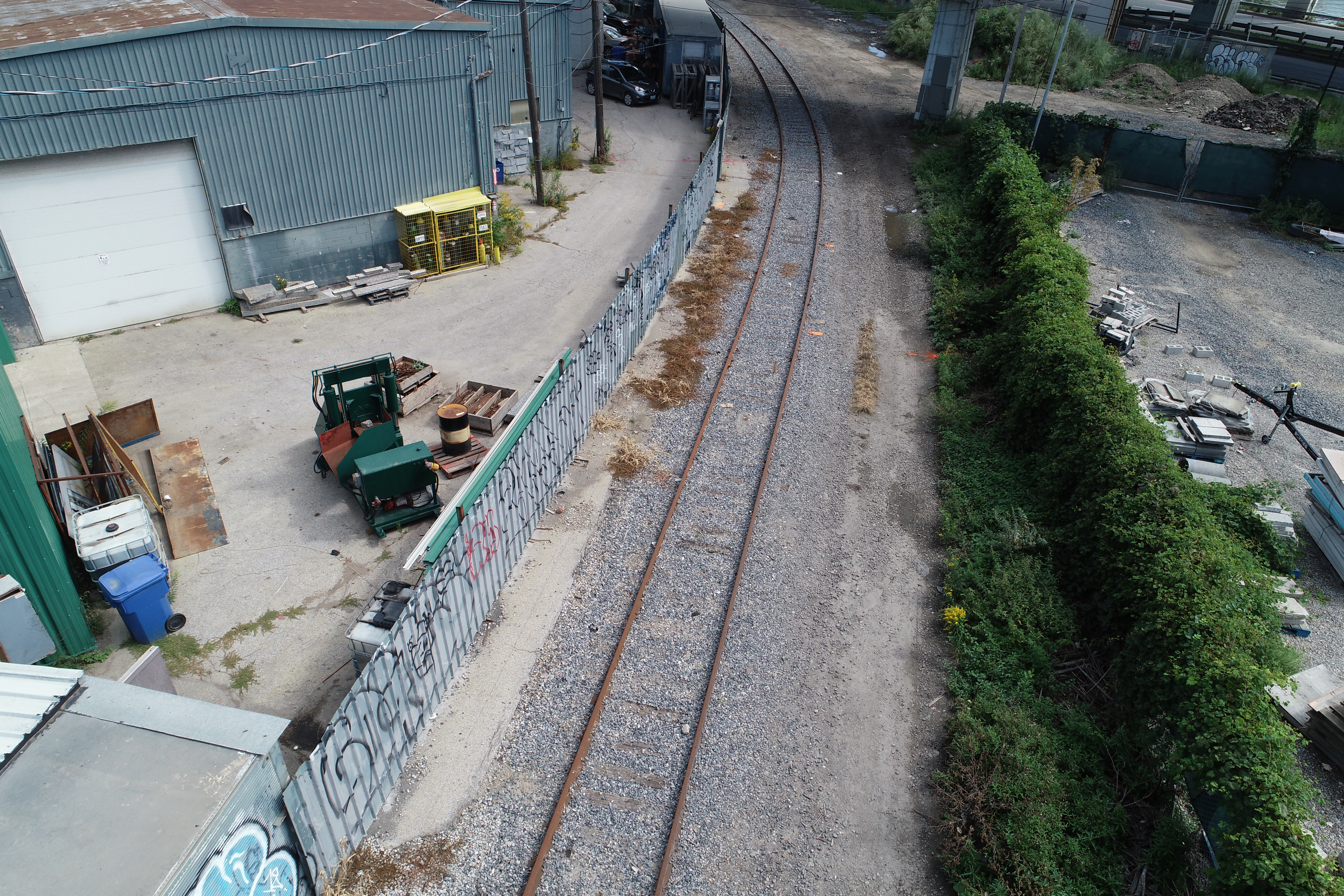
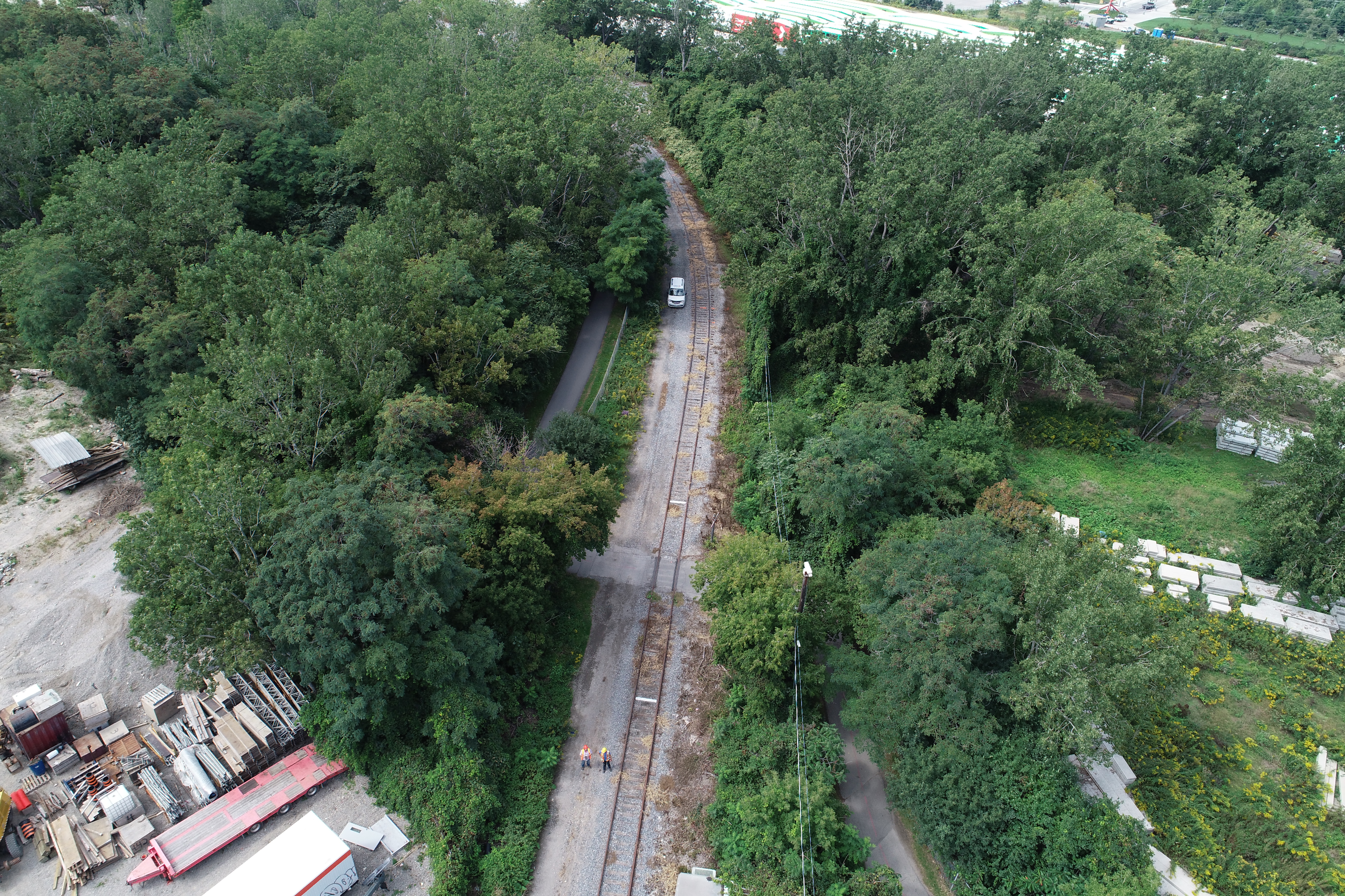
Combined topographic, aerial and legal survey of 3 rail curves on Ports Toronto property.
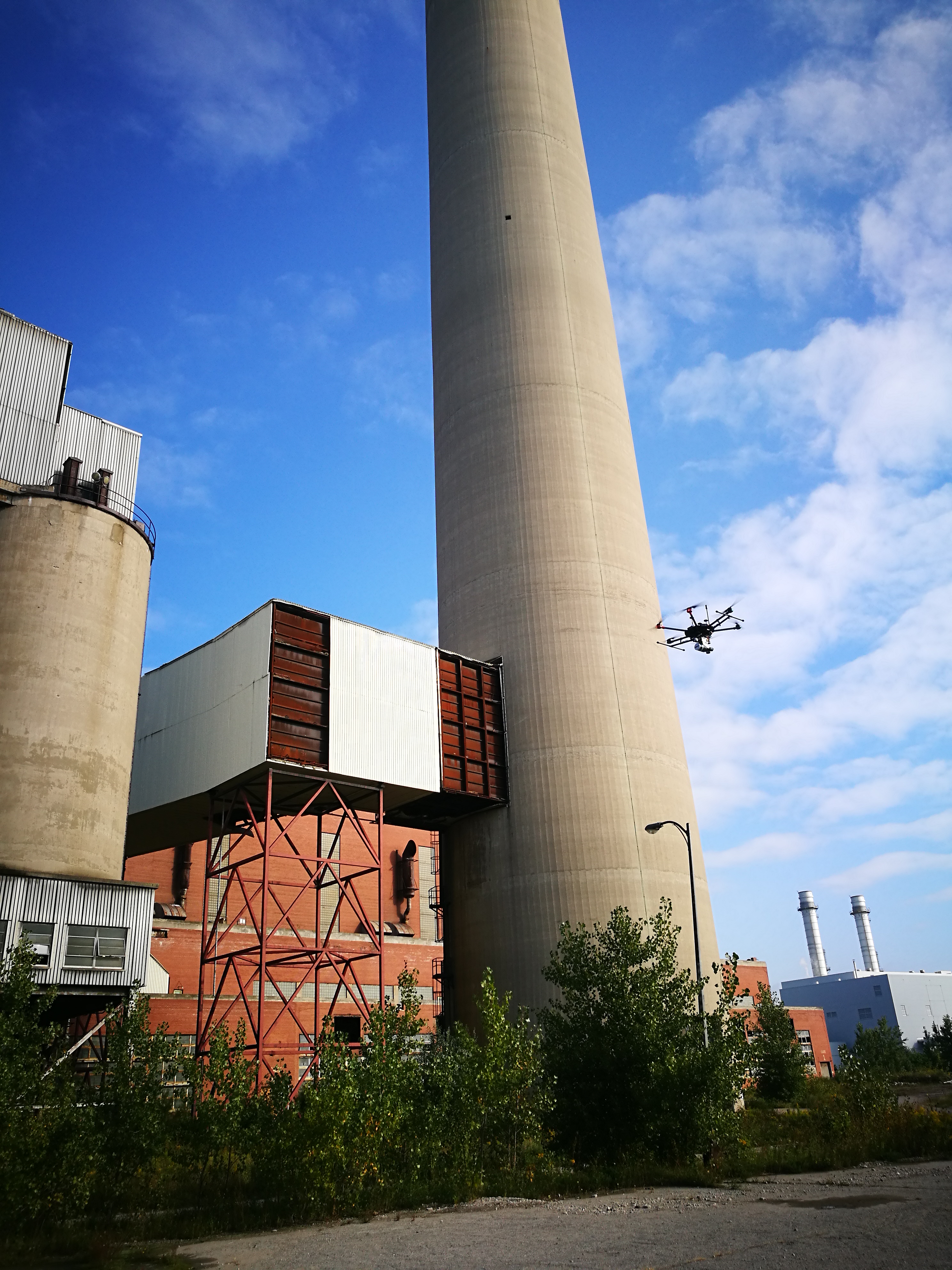
All areas were surveyed by hand, but also supplemented by aerial drone data (ortho photos and Recap point cloud). At tracks passing below the Gardiner Expressway, Lidar scans allowed surveyors to capture imagery of the bridge without flying over traffic.
Services Provided

3D Laser Scanning
With scanning, we provide our clients with a fast and easy solution to gather large quantities of information with a high degree of accuracy. Using the 3D laser scanner to gather point cloud data that contains both location and RGB information makes it easy for Groma’s customers to dimension and display cross sections. Point clouds are easily imported into AutoCAD or can be dimensioned right on the web using online tools.
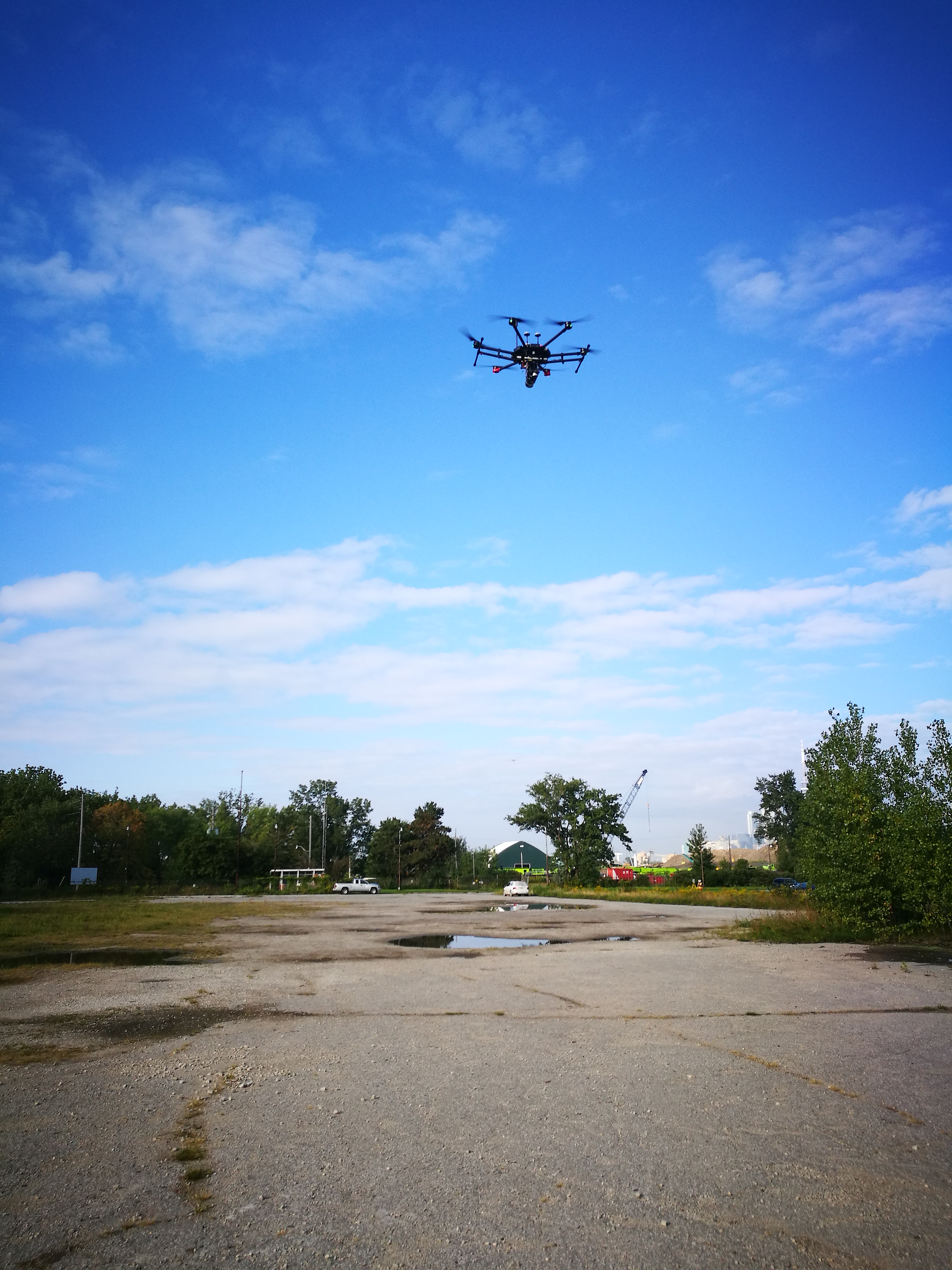
Aerial Drone Surveying
Using unmanned fixed-wing and rotorcraft we can provide economical ways to perform aerial surveys. Our drones can be launched and sent to remote or hazardous locations to gather survey data or perform visual inspections. Using LiDAR techniques, the data can be used to provide geo-referenced results in a variety of formats.
GPS/Total Station
Our field teams use Leica robotic Total Stations, Leica, Trimble, and Topcon GNSS units and Leica DNA03 digital levels to provide a wide range of services for projects of any size; includes topographical surveys, construction layout, control networks, deformation monitoring, site volume calculations, as-built surveys and much more.
