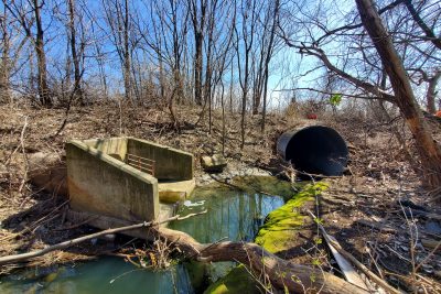
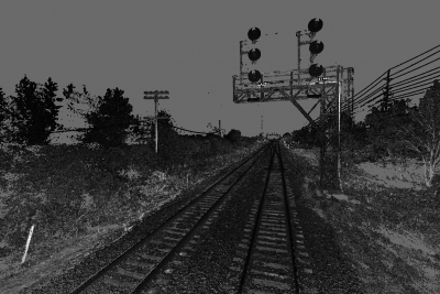
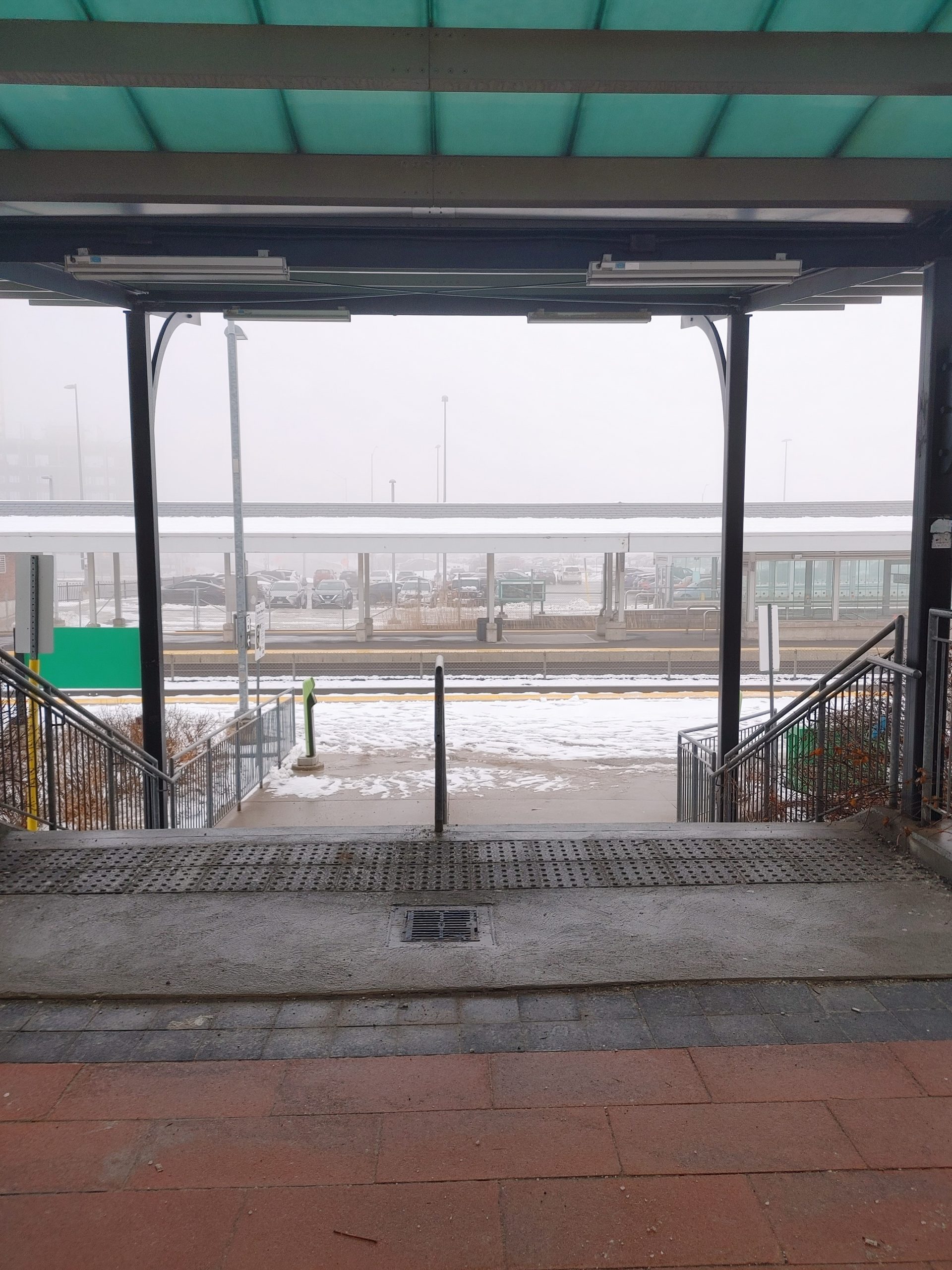
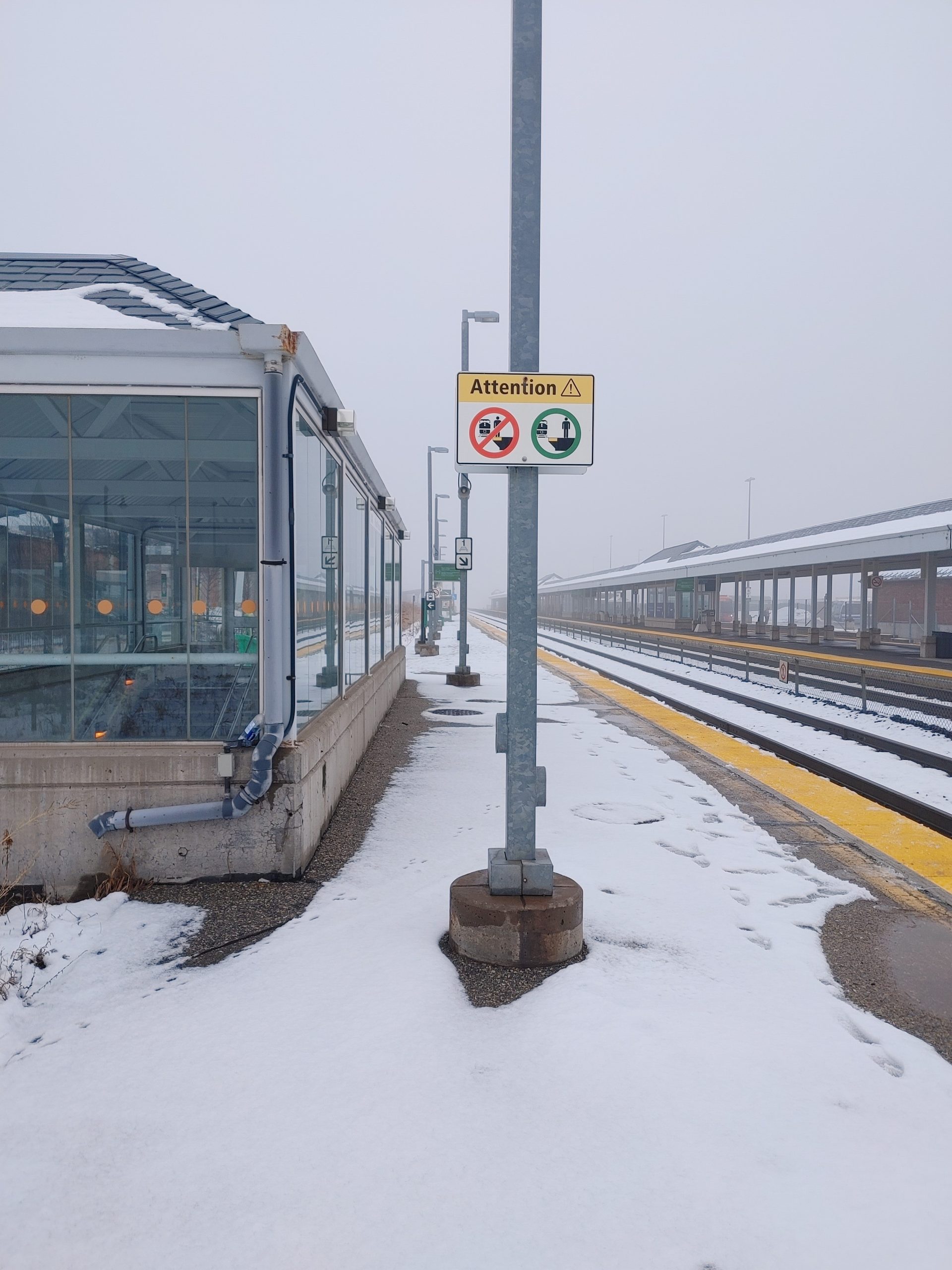
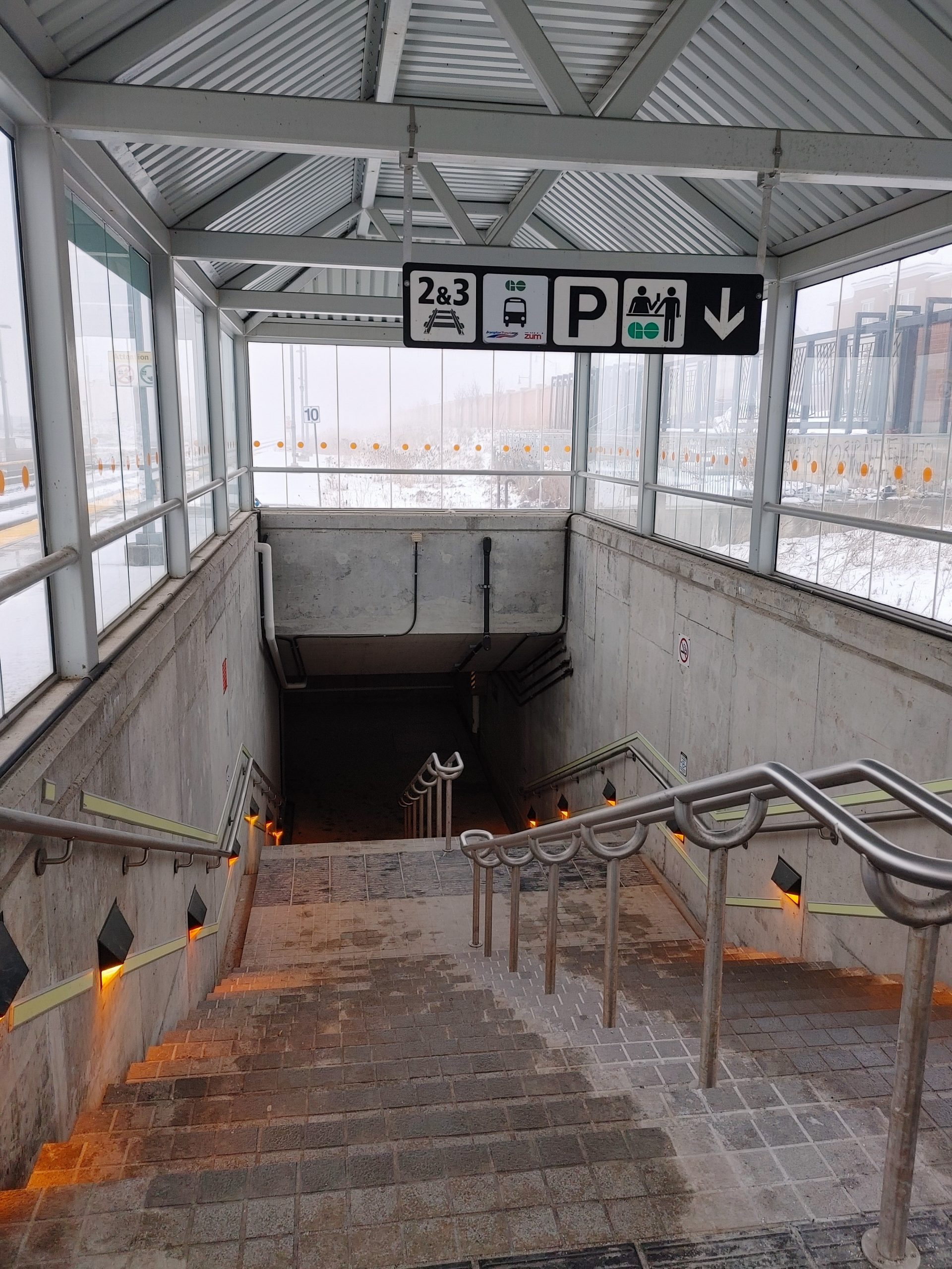
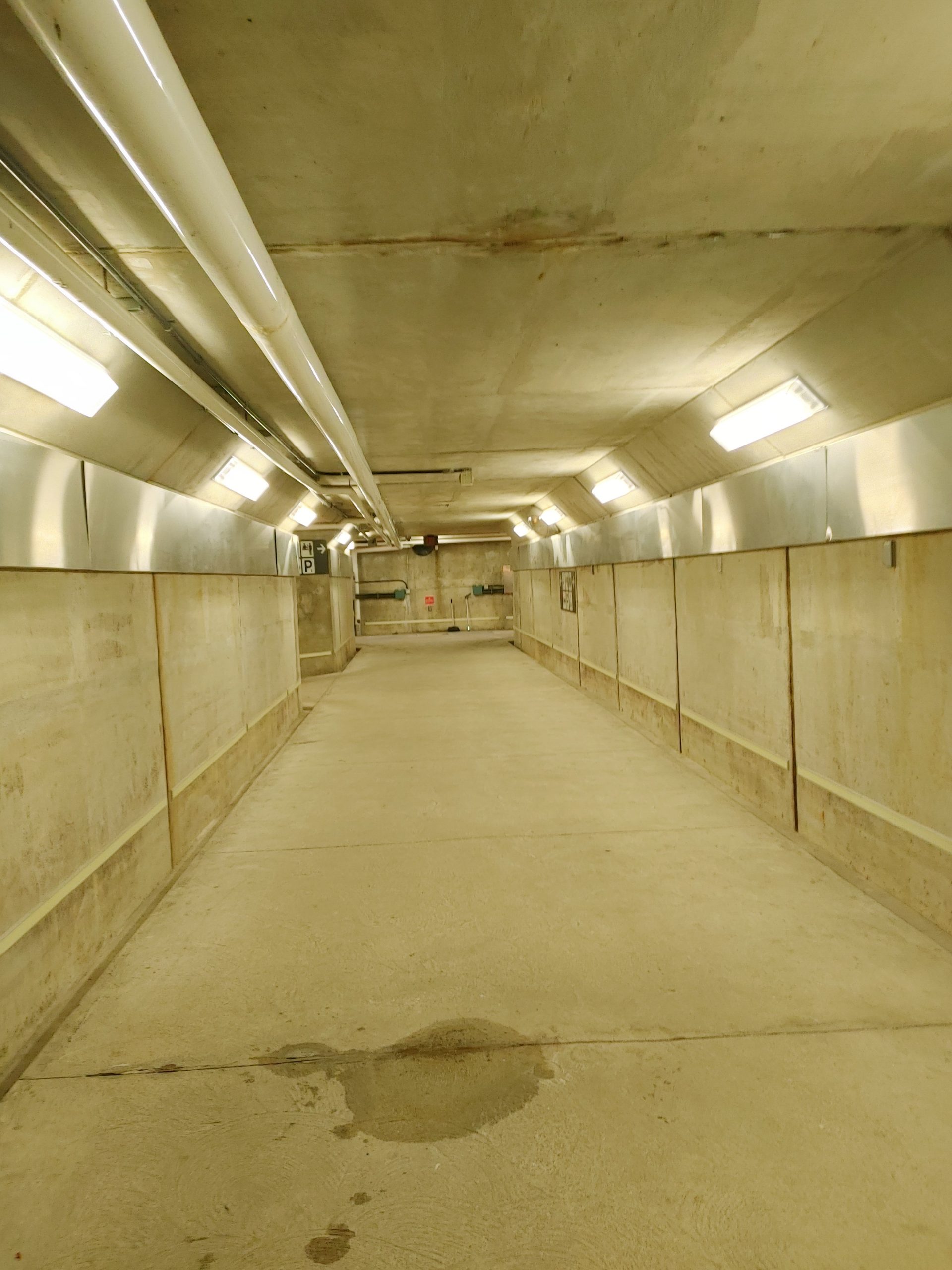
About The Project
Topographic survey of the Mount Pleasant GO north platform & pedestrian underpass tunnels for future redesign works. Ground level features were surveyed with GPS & total station equipment. For pedestrian tunnels below the corridor, a 3D laser scan was completed to capture the structure geometry and elevations. The laser scan was tied into ground-level survey data by traversing in and out of the tunnels and tying into vinyl scan targets that were placed on the station walls.
A legal boundary survey was also completed for the north portion of the corridor by an OLS subcontractor.
Services Provided

3D Laser Scanning
With scanning, we provide our clients with a fast and easy solution to gather large quantities of information with a high degree of accuracy. Using the 3D laser scanner to gather point cloud data that contains both location and RGB information makes it easy for Groma’s customers to dimension and display cross sections. Point clouds are easily imported into AutoCAD or can be dimensioned right on the web using online tools.
GPS/Total Station
Our field teams use Leica robotic Total Stations, Leica, Trimble, and Topcon GNSS units and Leica DNA03 digital levels to provide a wide range of services for projects of any size; includes topographical surveys, construction layout, control networks, deformation monitoring, site volume calculations, as-built surveys and much more.
