About The Project
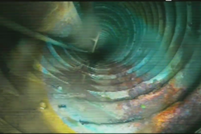
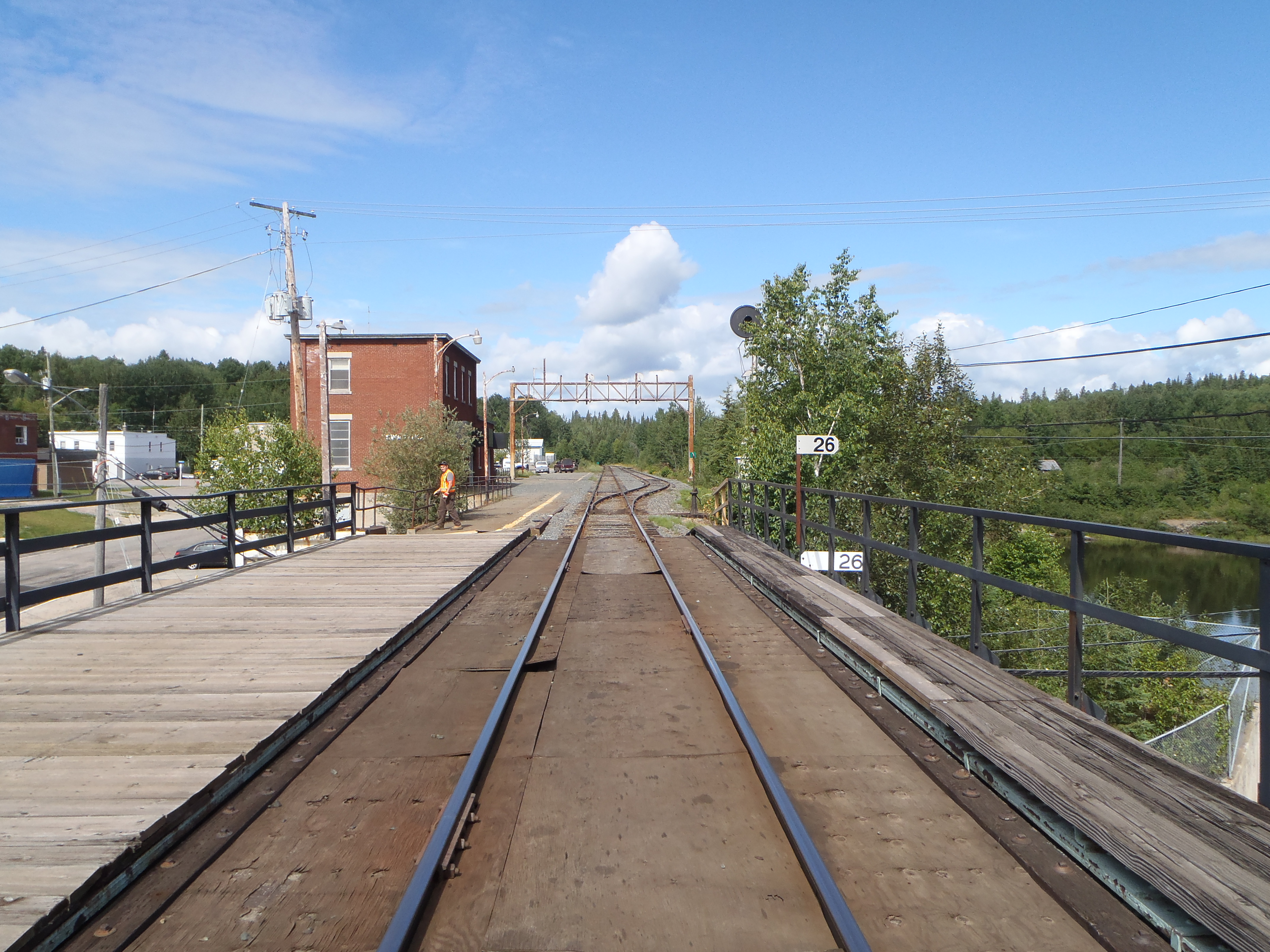
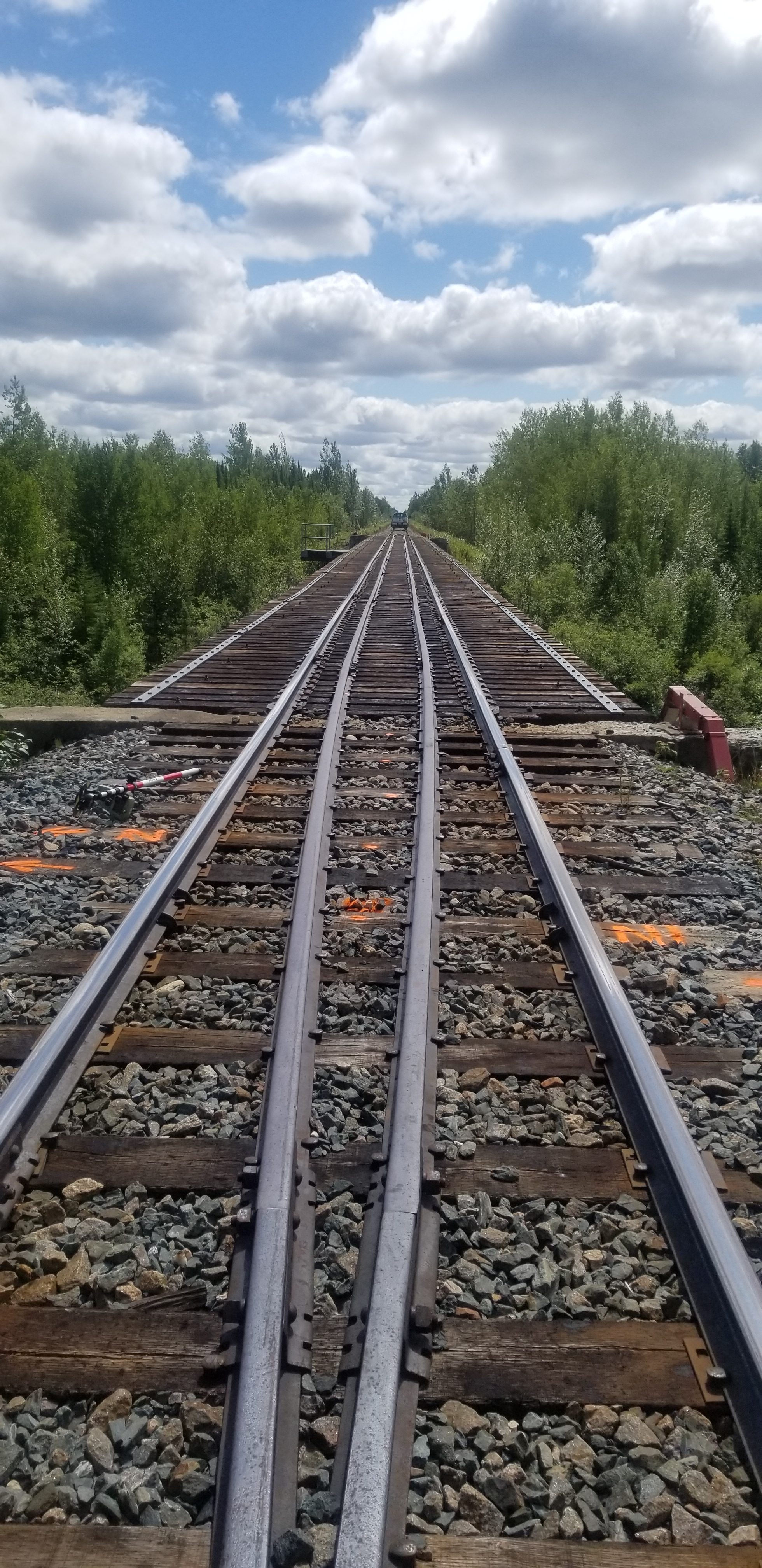
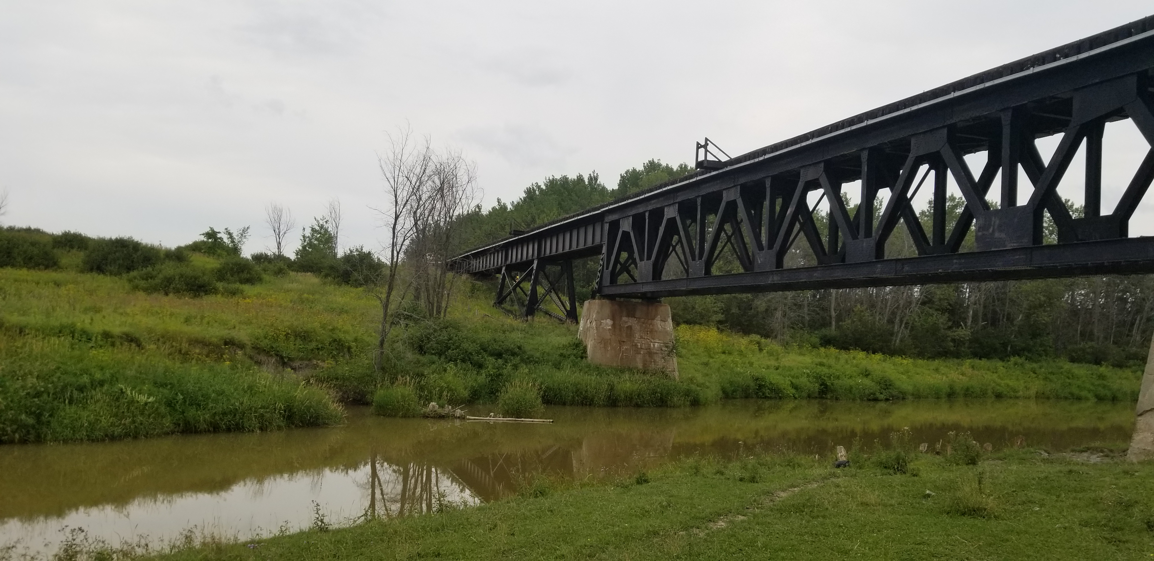
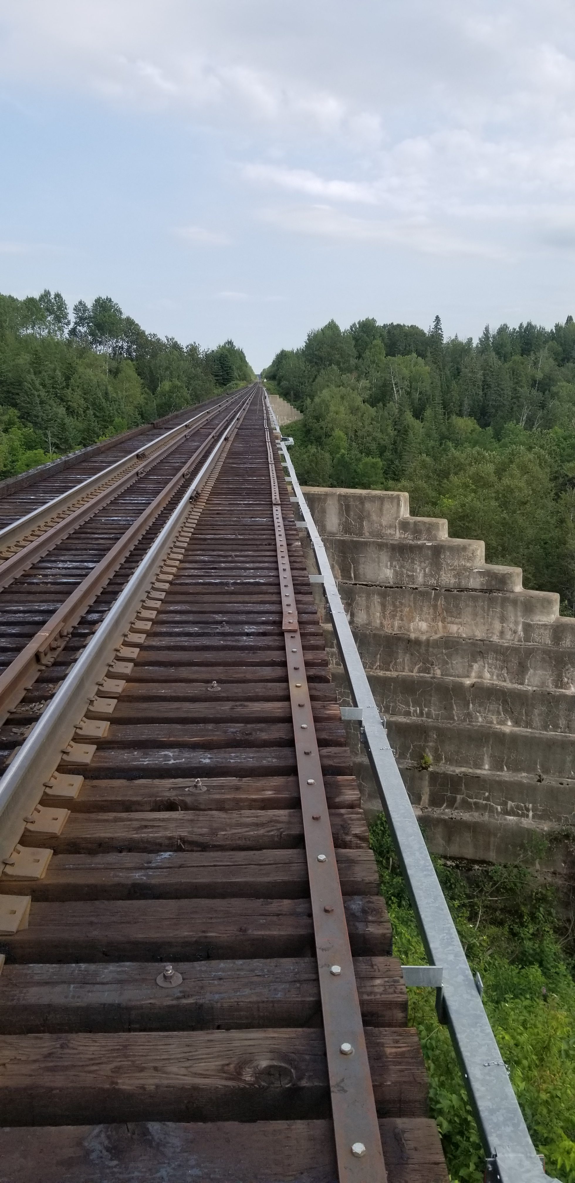
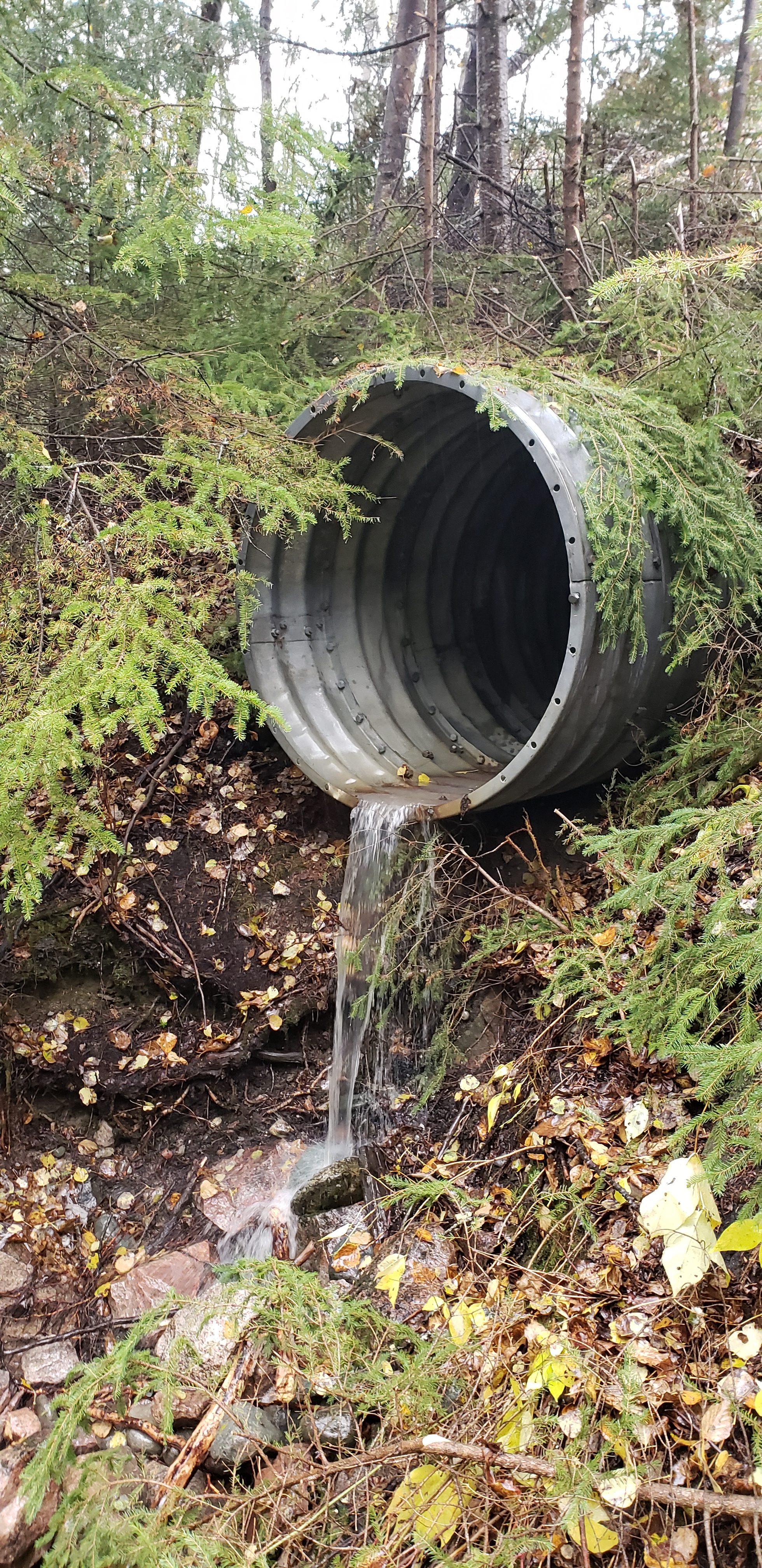
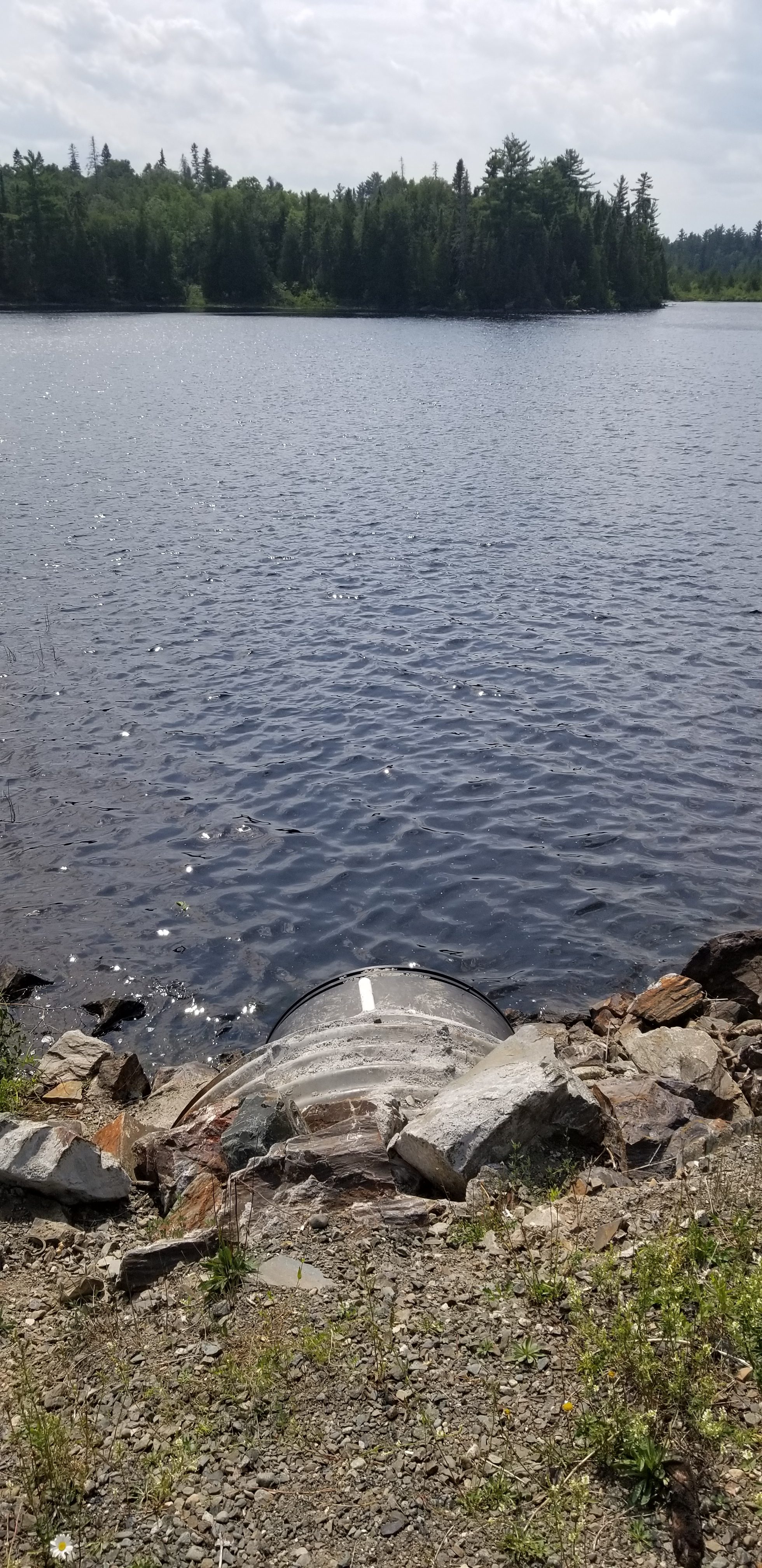
Survey of over 10 bridges and culverts in northern Ontario, on the following subdivisions:
-Island Falls
-Kapuskasing
-Temagami
-Ramore
-Pagwa
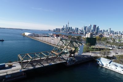
A drone flight was performed at Ramore bridge 26.0.
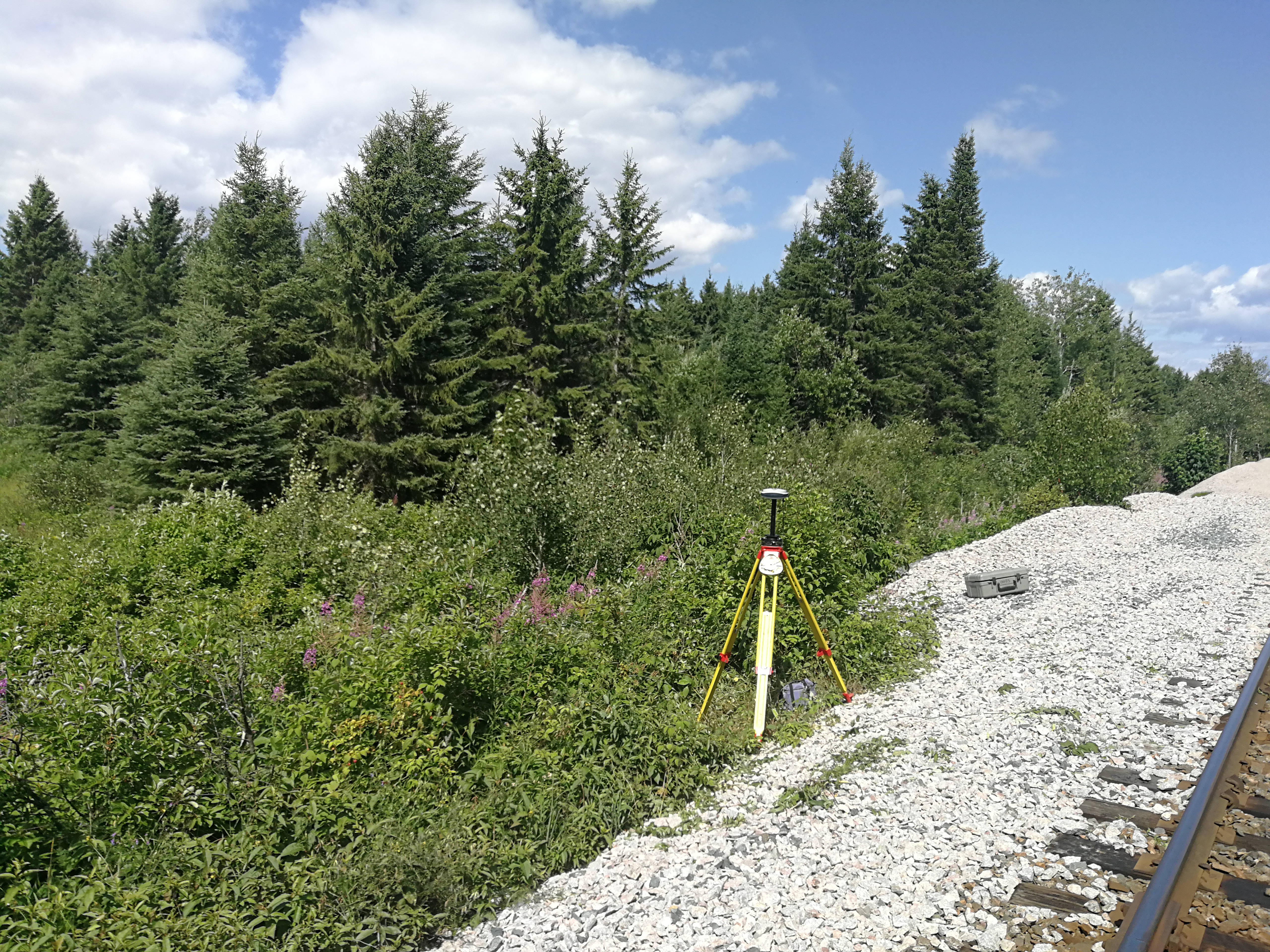
This survey took place over a 2-week period in the summer of 2018 with a team of 1 to 3 surveyors. Flagging was required for all surveying work. Due to the remote locations, the survey crew often traveled to site via high rail vehicle.
In addition to the bridge/culvert at each location, the watercourse was surveyed 15m upstream and downstream from the structure, as well as 300m of top of rail from either backwall. For each location, a list of survey points and CADD survey plans were provided to the client.
For some selected bridges, a full bridge analysis was made as a deliverable.
Services Provided

