About The Project
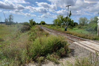
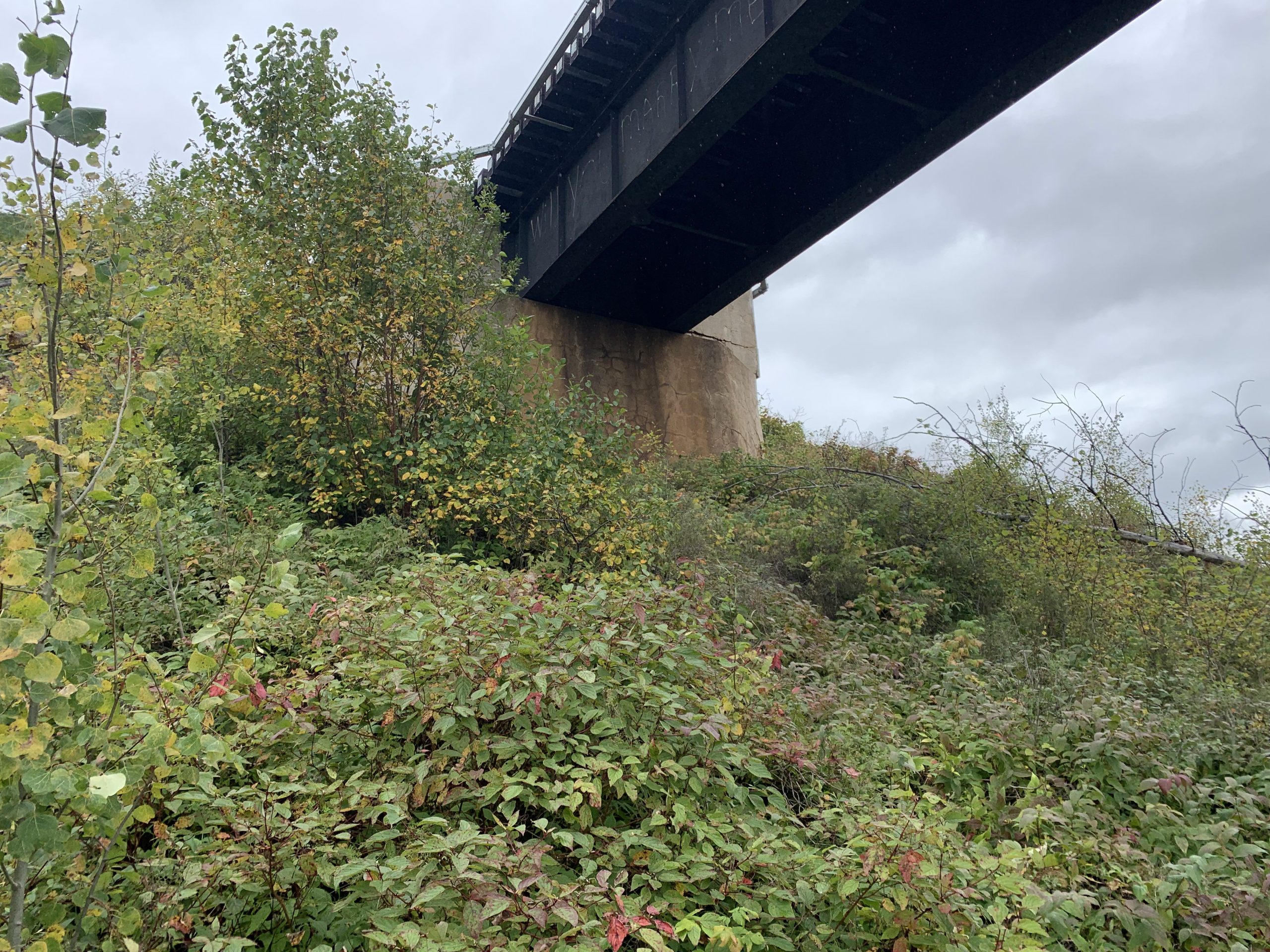
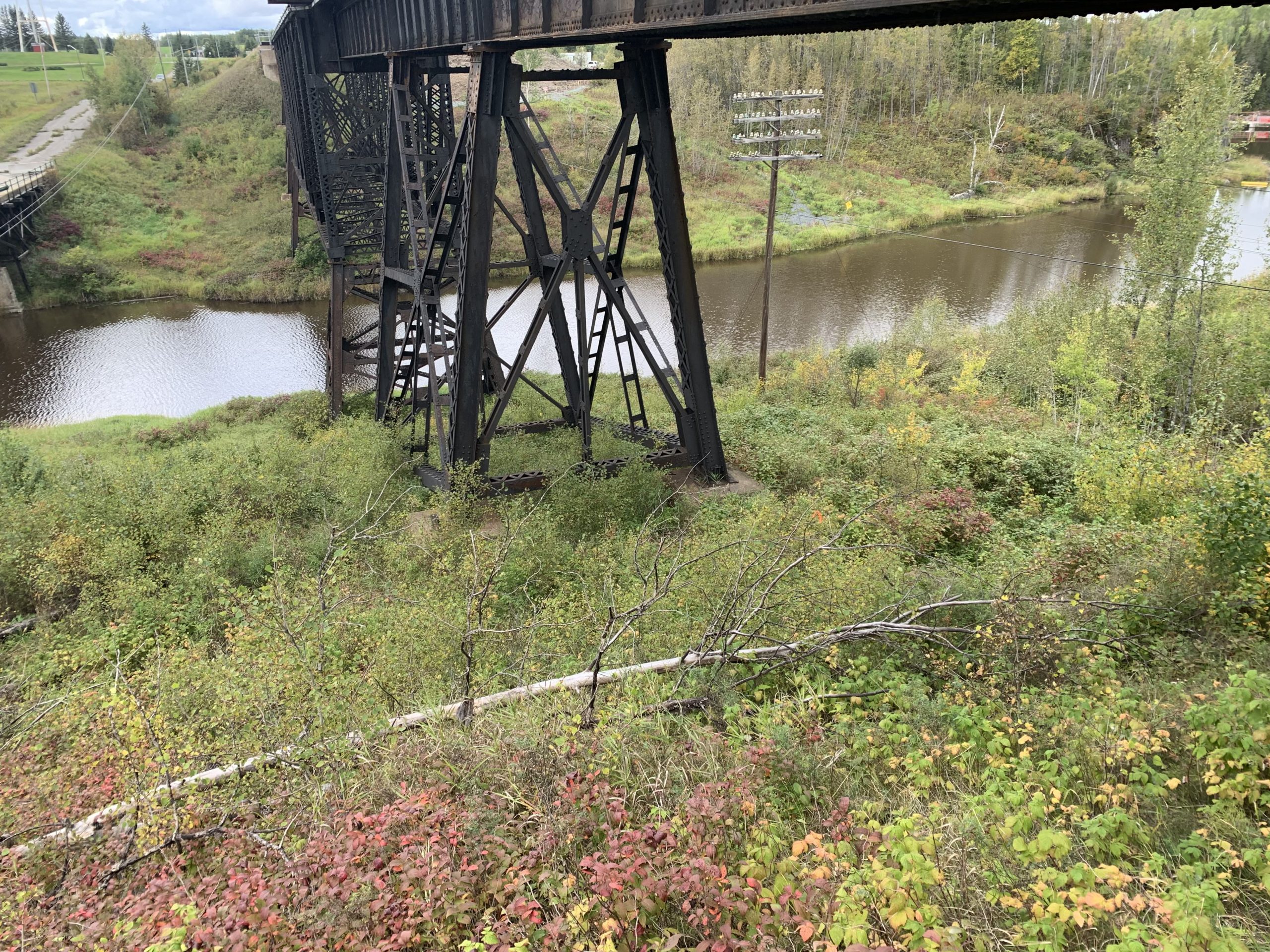
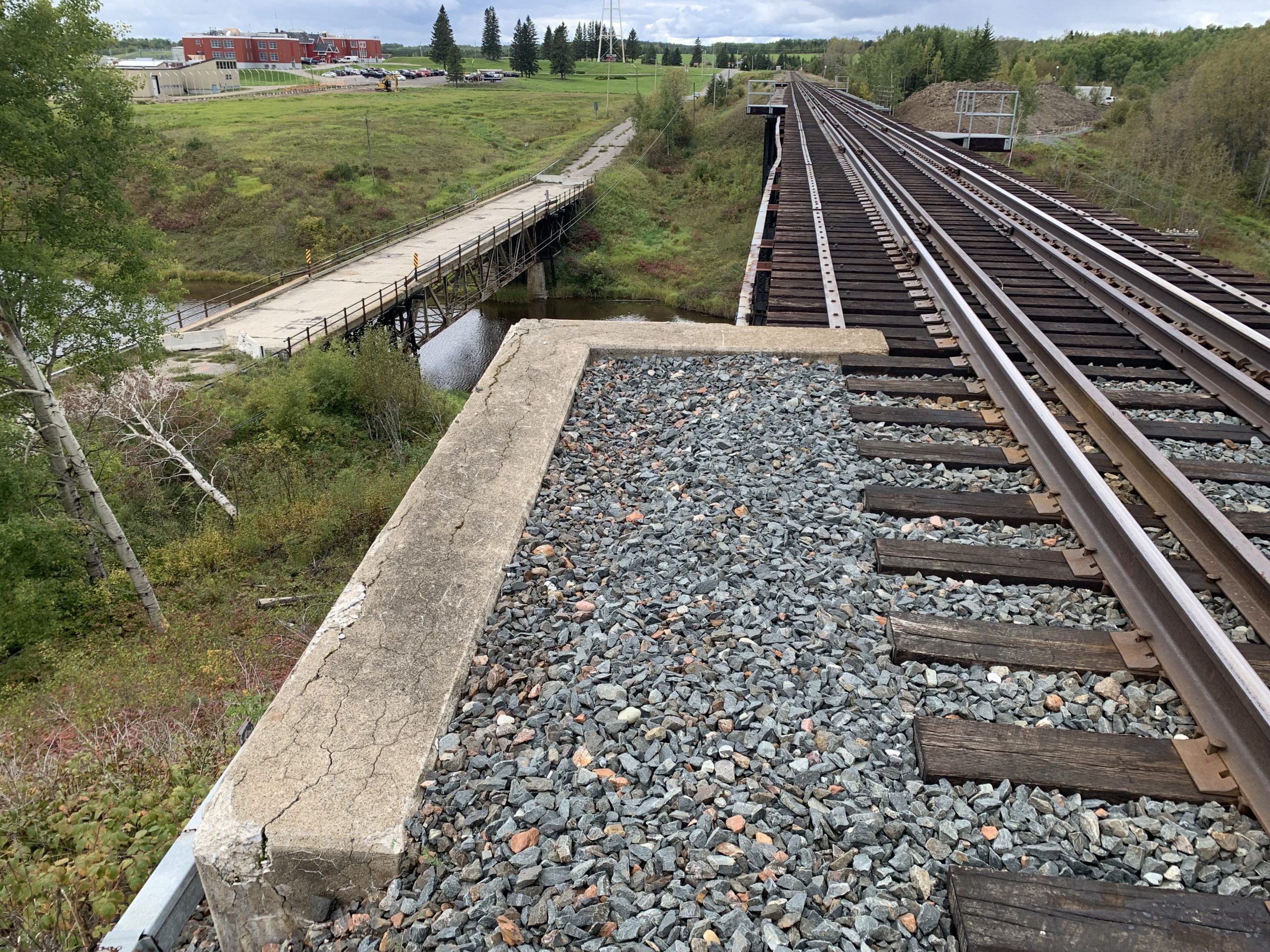
Topographic survey of concrete abutments & top of rail at Ramore Mi. 79 (Monteith) for future bridge design.
Services Provided

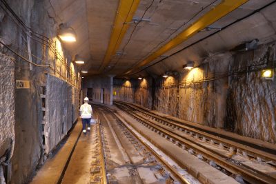
GPS/Total Station
Our field teams use Leica robotic Total Stations, Leica, Trimble, and Topcon GNSS units and Leica DNA03 digital levels to provide a wide range of services for projects of any size; includes topographical surveys, construction layout, control networks, deformation monitoring, site volume calculations, as-built surveys and much more.
