
About The Project
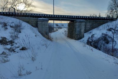
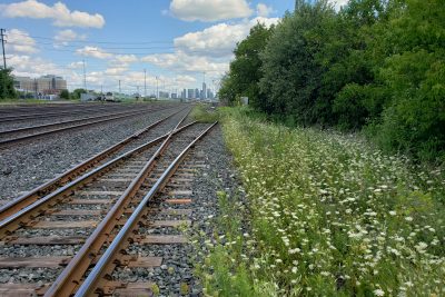
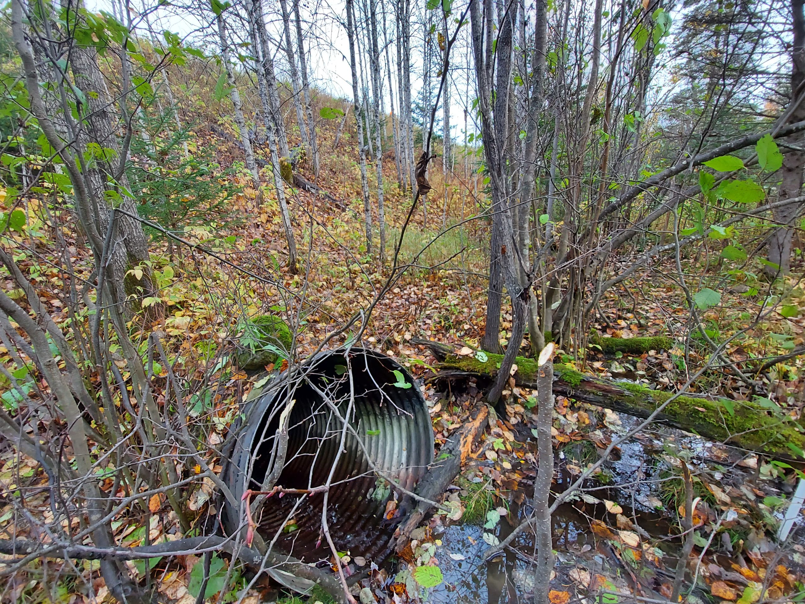
Topographic survey of 3 culverts along the Ramore subdivision in northern Ontario. Mi. 24.62 and 44.82 (Kirkland Lake & Bourkes) were surveyed with conventional methods (GPS and total station) to capture the culverts, top of rail at corridor level, and a section of the slopes around the culvert as required by the client.
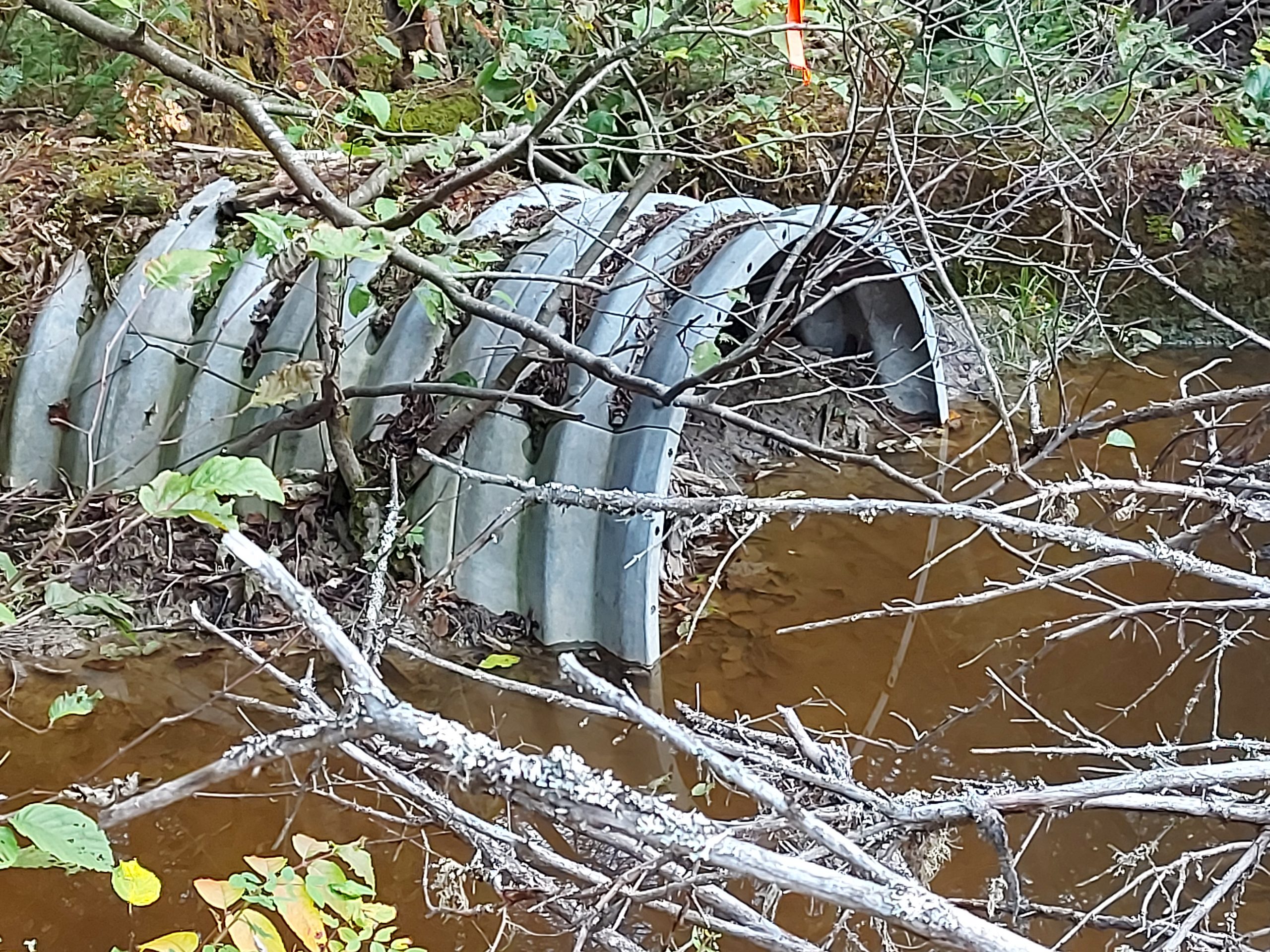
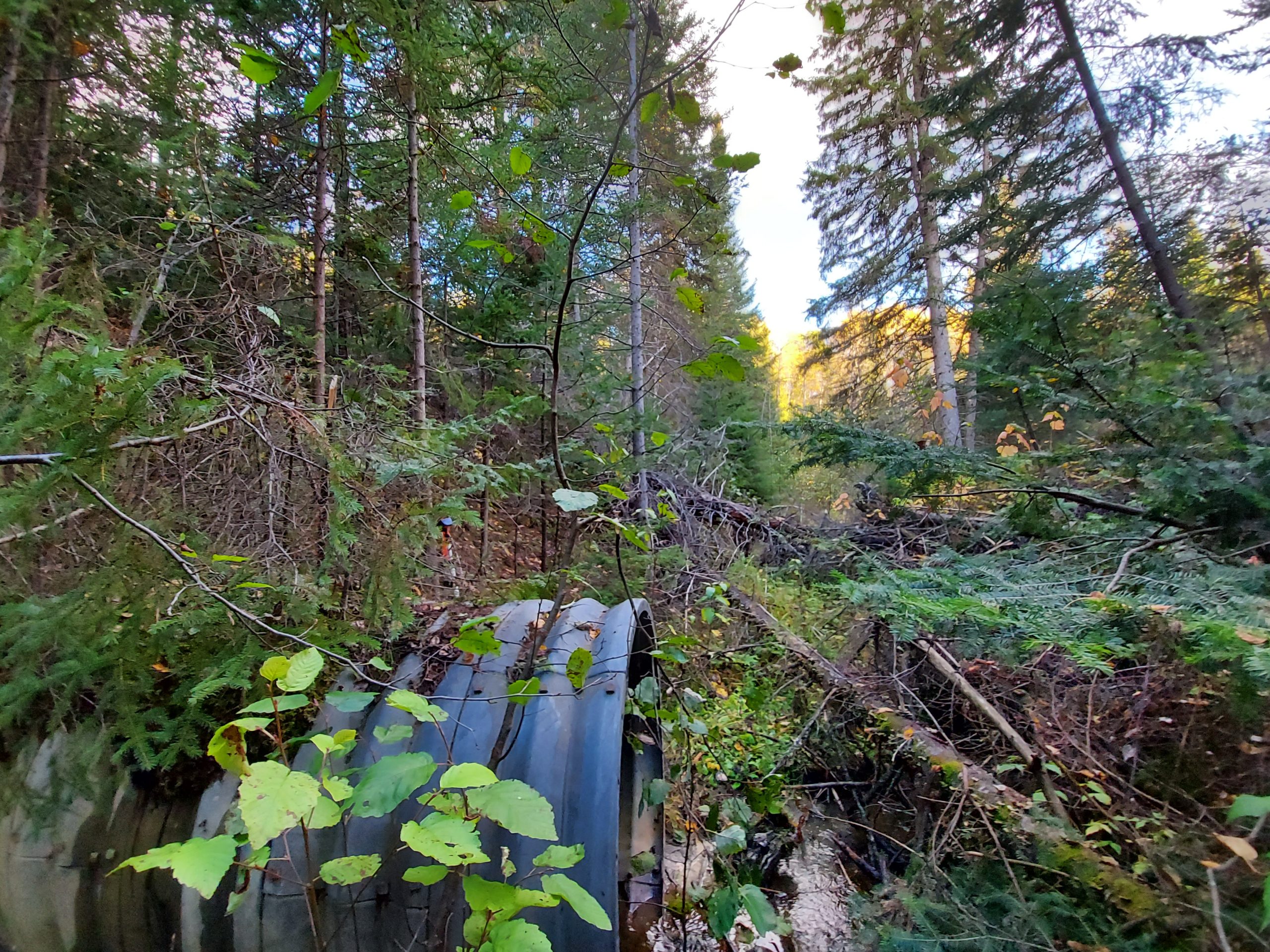
At Mi. 61.80 outside of Matheson, Groma was required to collect data inside of the large concrete culvert, and complete a bathymetric survey through the watercourse in both directions, in addition to the typical survey items required. Inside of the concrete culvert, data was captured using a stationary LiDAR scanner to be able to illustrate the geometry of the structure. The bathymetric survey made use of the company’s ARGO amphibious vehicle to easily traverse the dense brush through the watercourse, which was very deep in some locations due to recent rainfall and a beaver dam downstream.
Services Provided

3D Laser Scanning
Bathymetric Surveys
