
About The Project
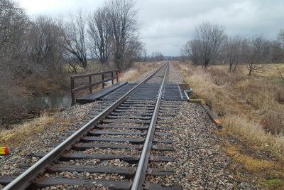
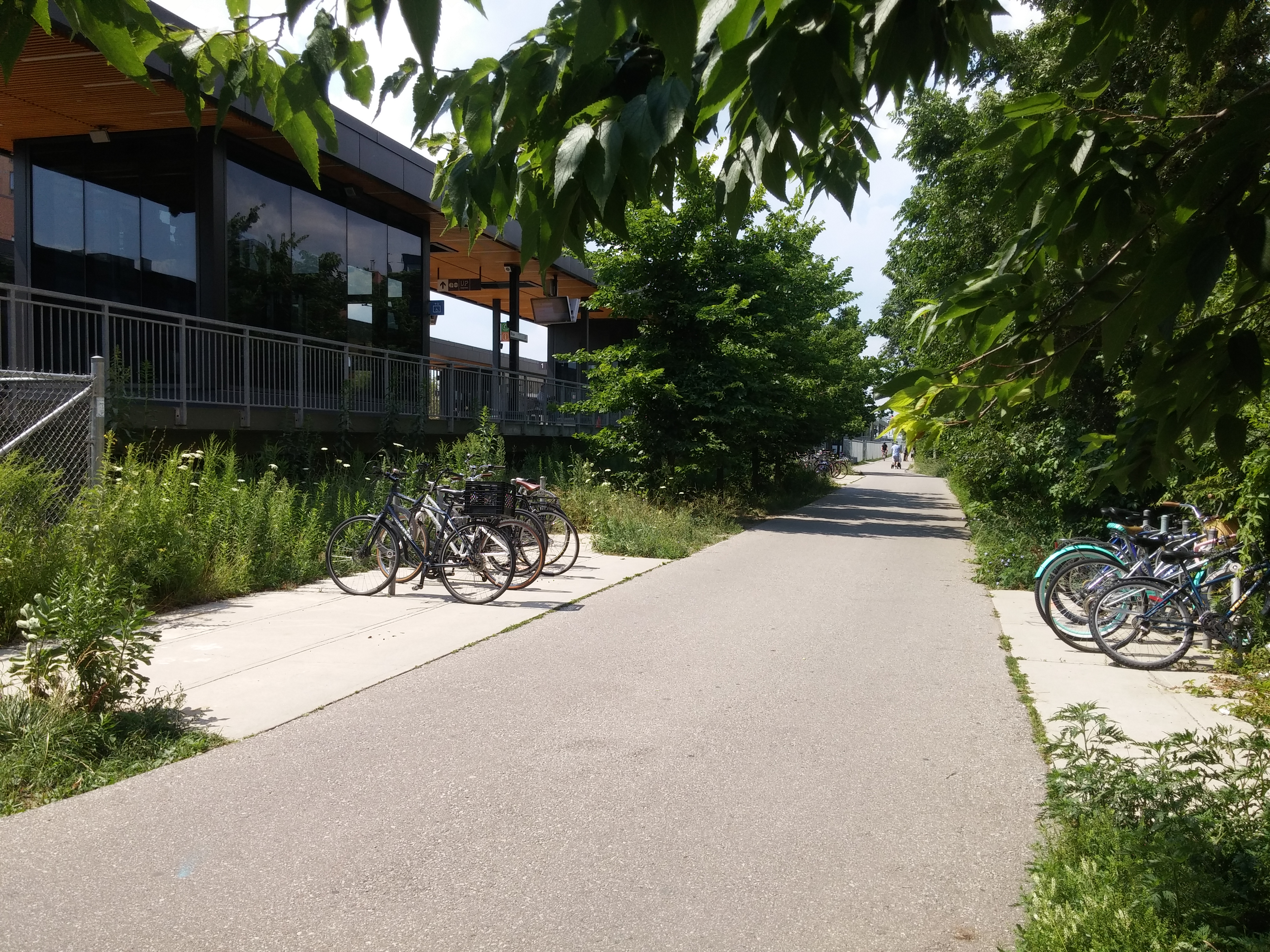
Full topographic survey of Weston subdivision between Rogers Rd. and Junction Rd., as well as between Dupont St. and Strachan Ave. This survey combined GPS/Total Station surveying, aerial drone flights, and 3D laser scanning. Some GPS/Total Station surveying was also completed off the corridor, along the West Toronto Rail Path and other adjacent areas.
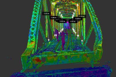
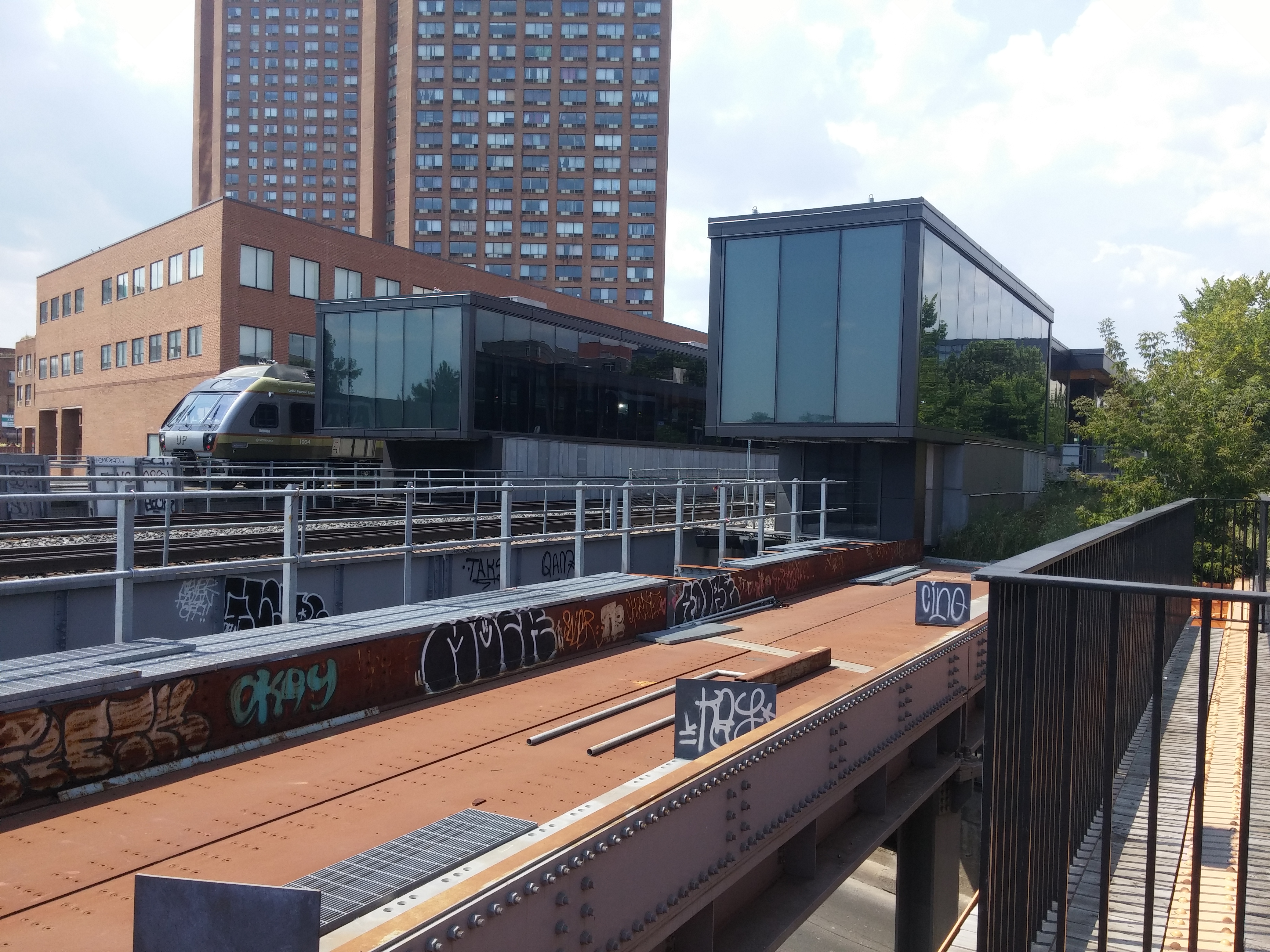
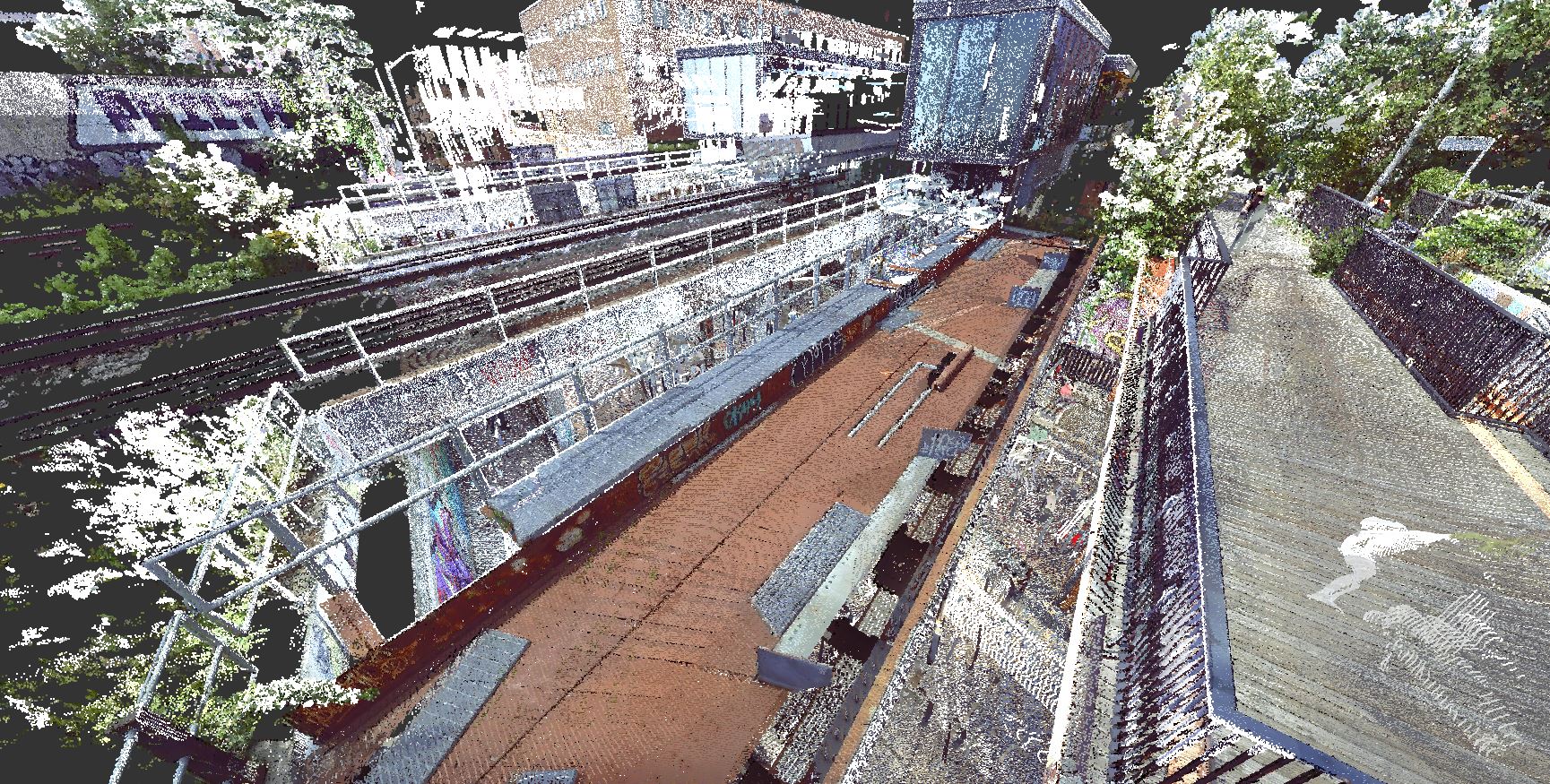
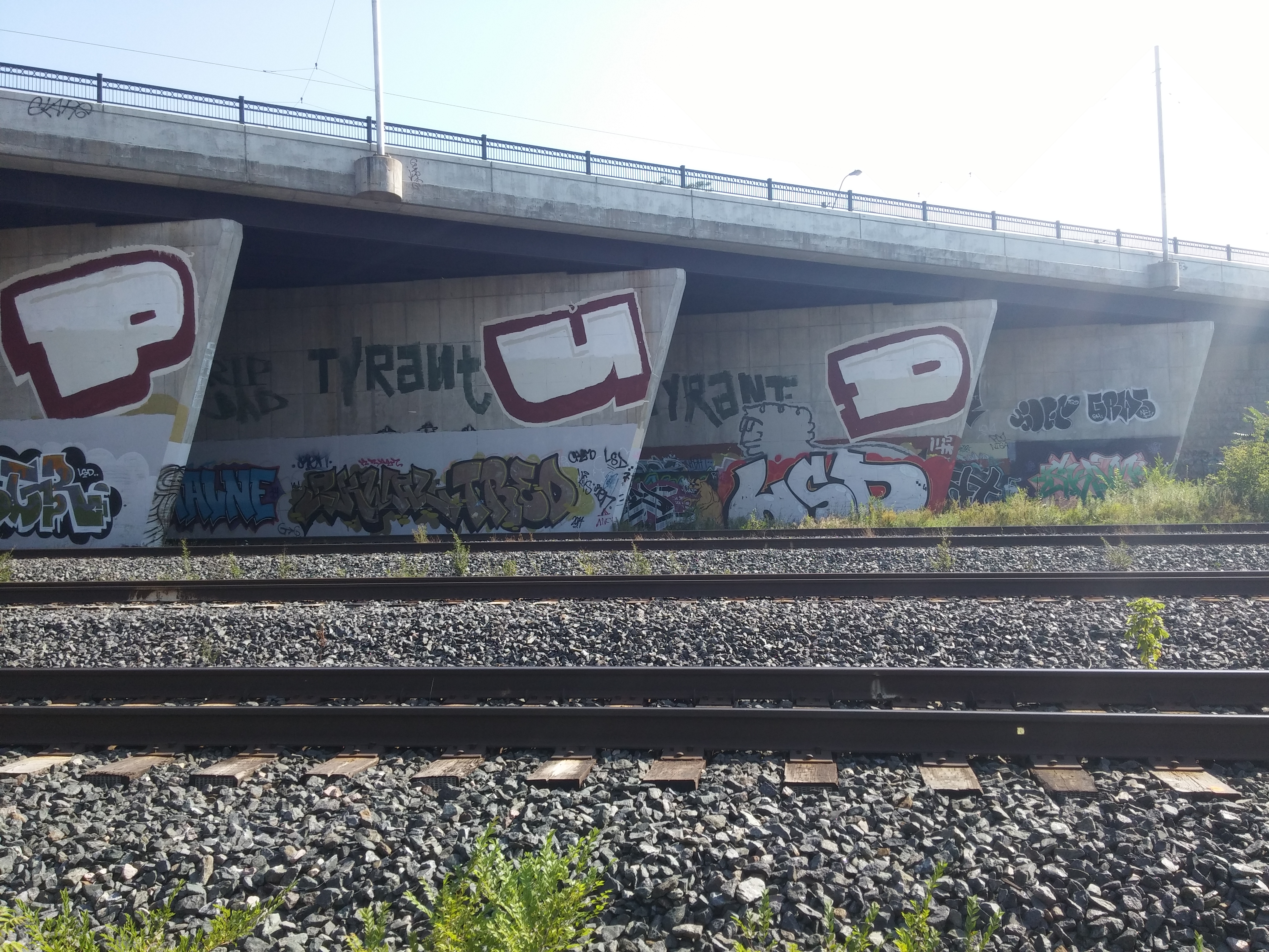
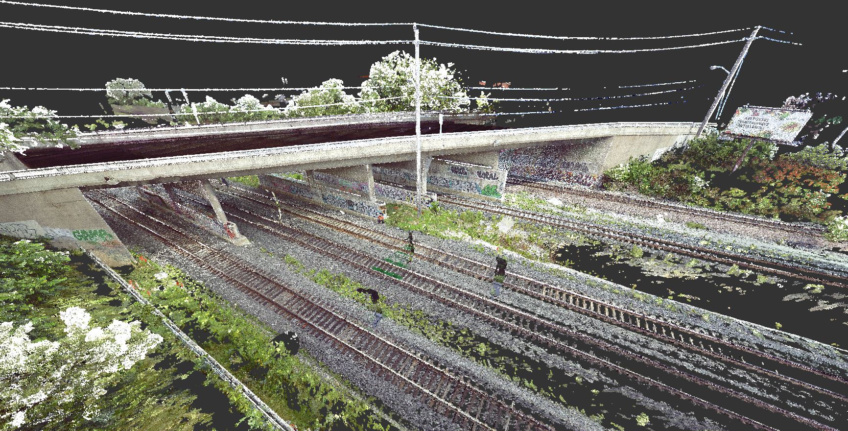
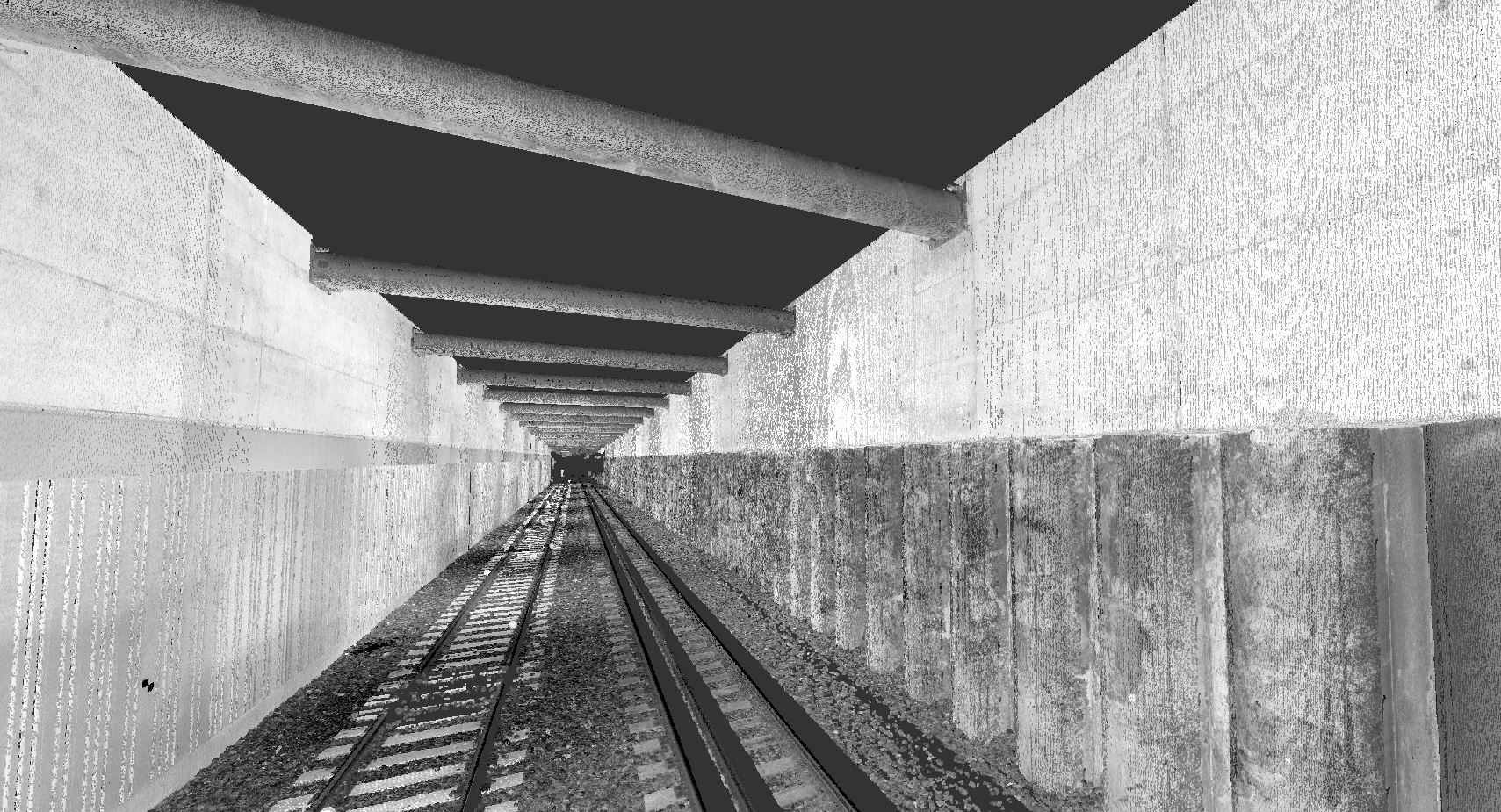
3D laser scannning was completed both in the rail tunnels (Strachan Ave. and tunnel south of St. Clair), as well as at Bloor GO Station and on St. Clair Avenue at road level. Linework and points at Bloor GO and St. Clair were digitized using Virtusurv software. The software allows a technician in the office to create CADD linework using scan data, which can be incorporated into the final CADD deliverable.
The entire length of site was flown for an aerial drone survey, producing a Recap point cloud and ortho photos.
Services Provided

3D Laser Scanning
Aerial Drone Surveying
