About The Project
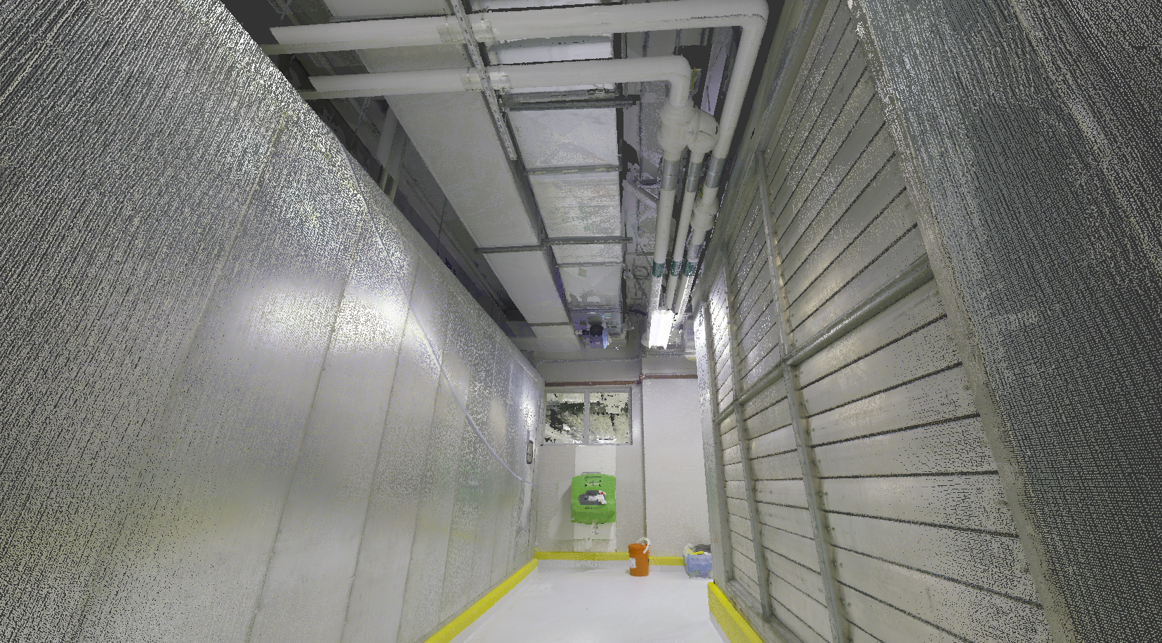
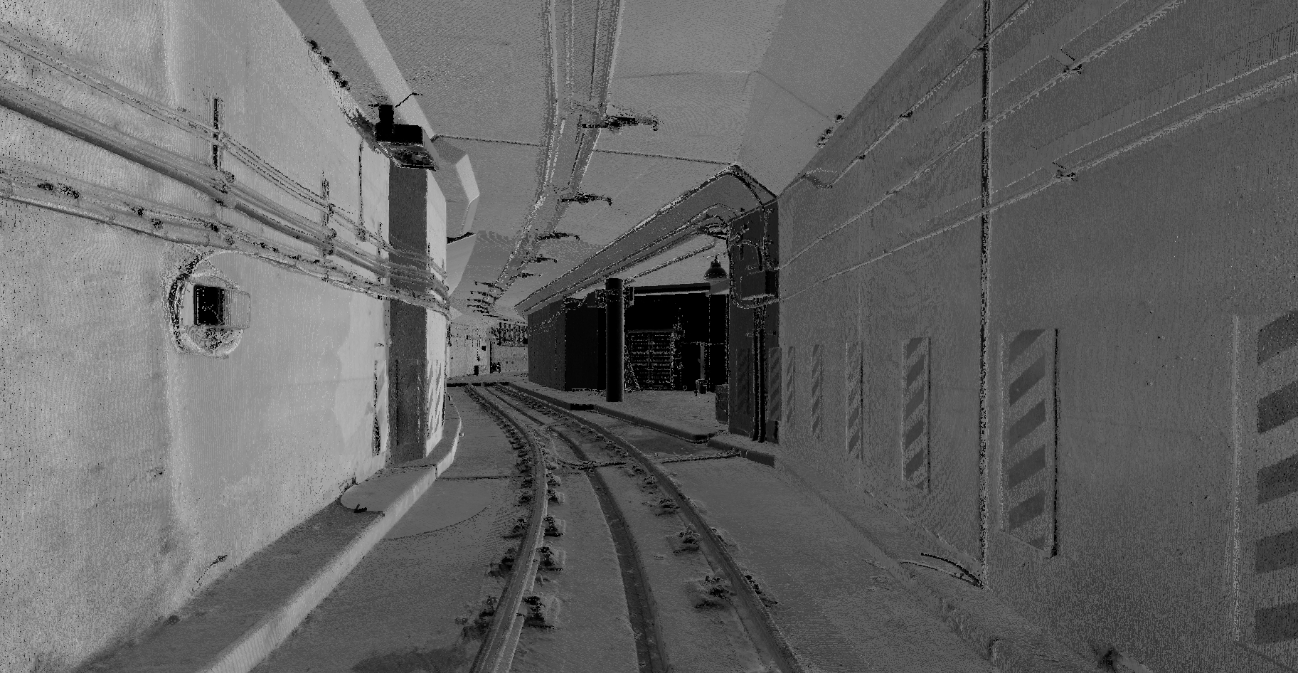
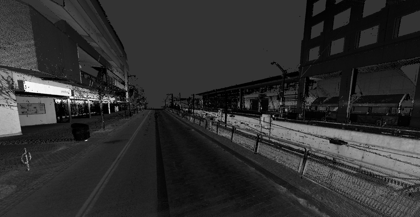
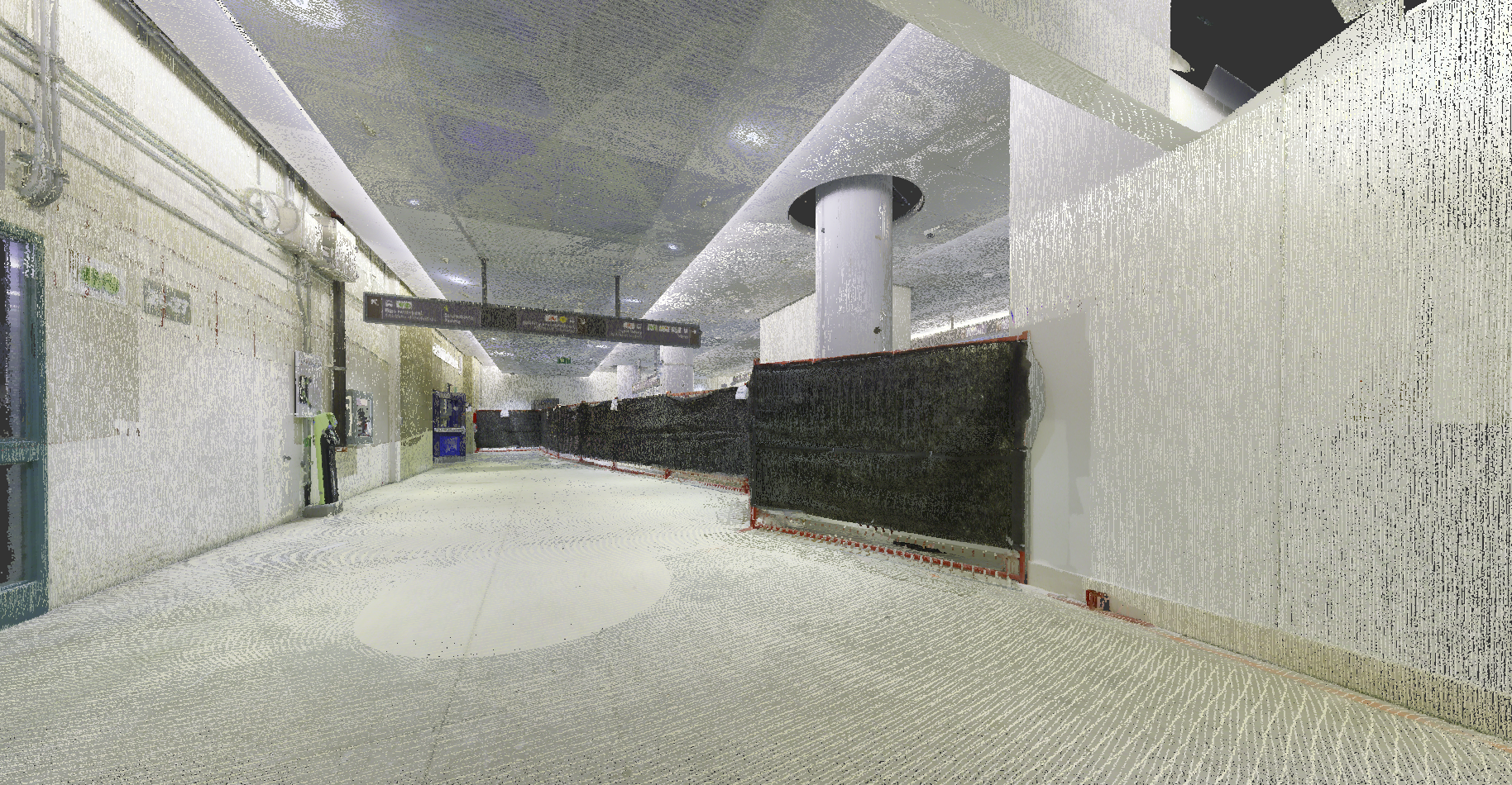
For future design of the Waterfront East LRT and its connection to Union Station, Groma completed a series of mobile and stationary LiDAR scans for the purpose of extraction survey linework and points.
Scanned items included:
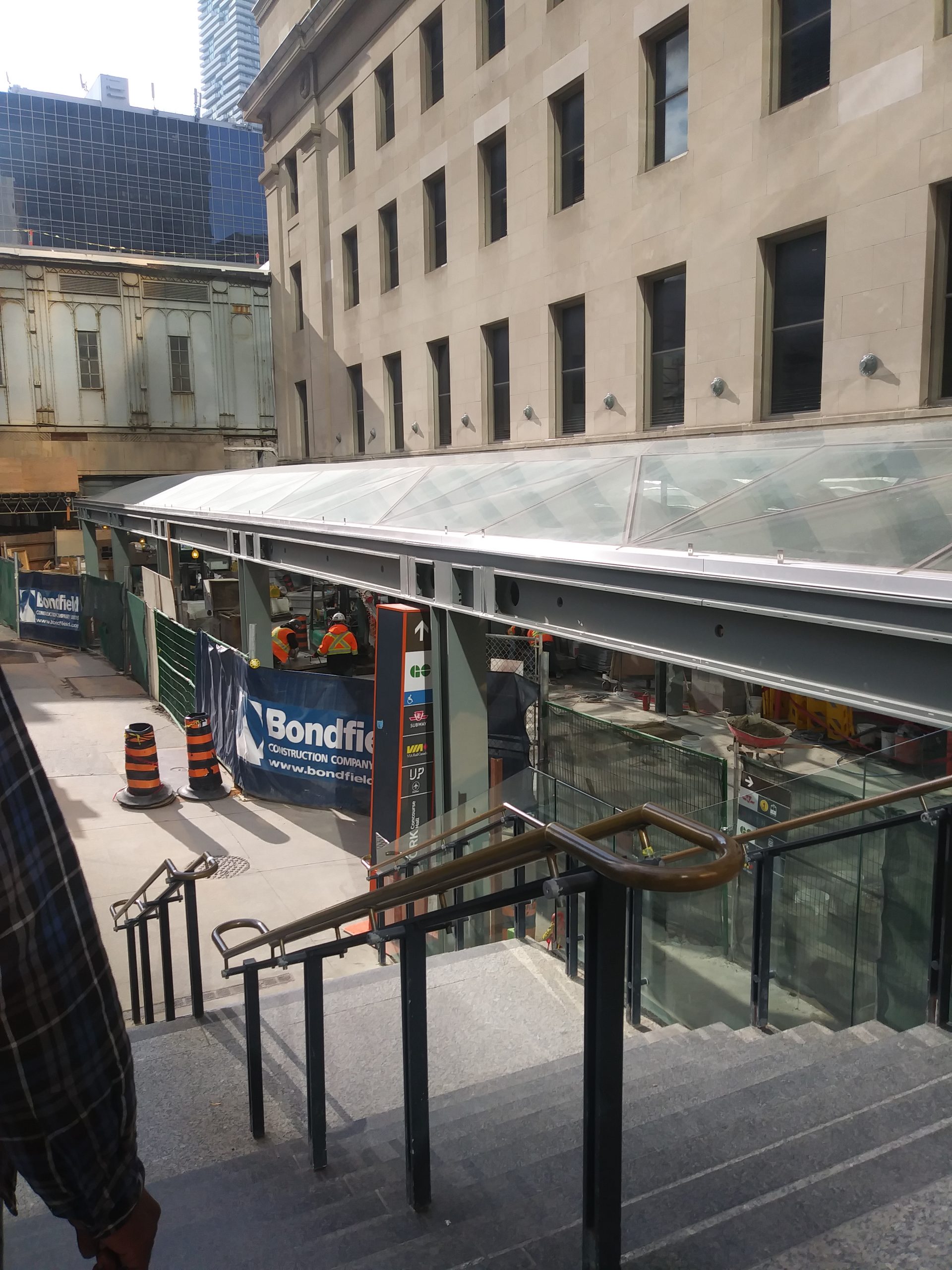
Bay Street, Front Street, Queen’s Quay and other adjacent side streets around Union Station (approx. 2.5km of roadway)
East and west teamways
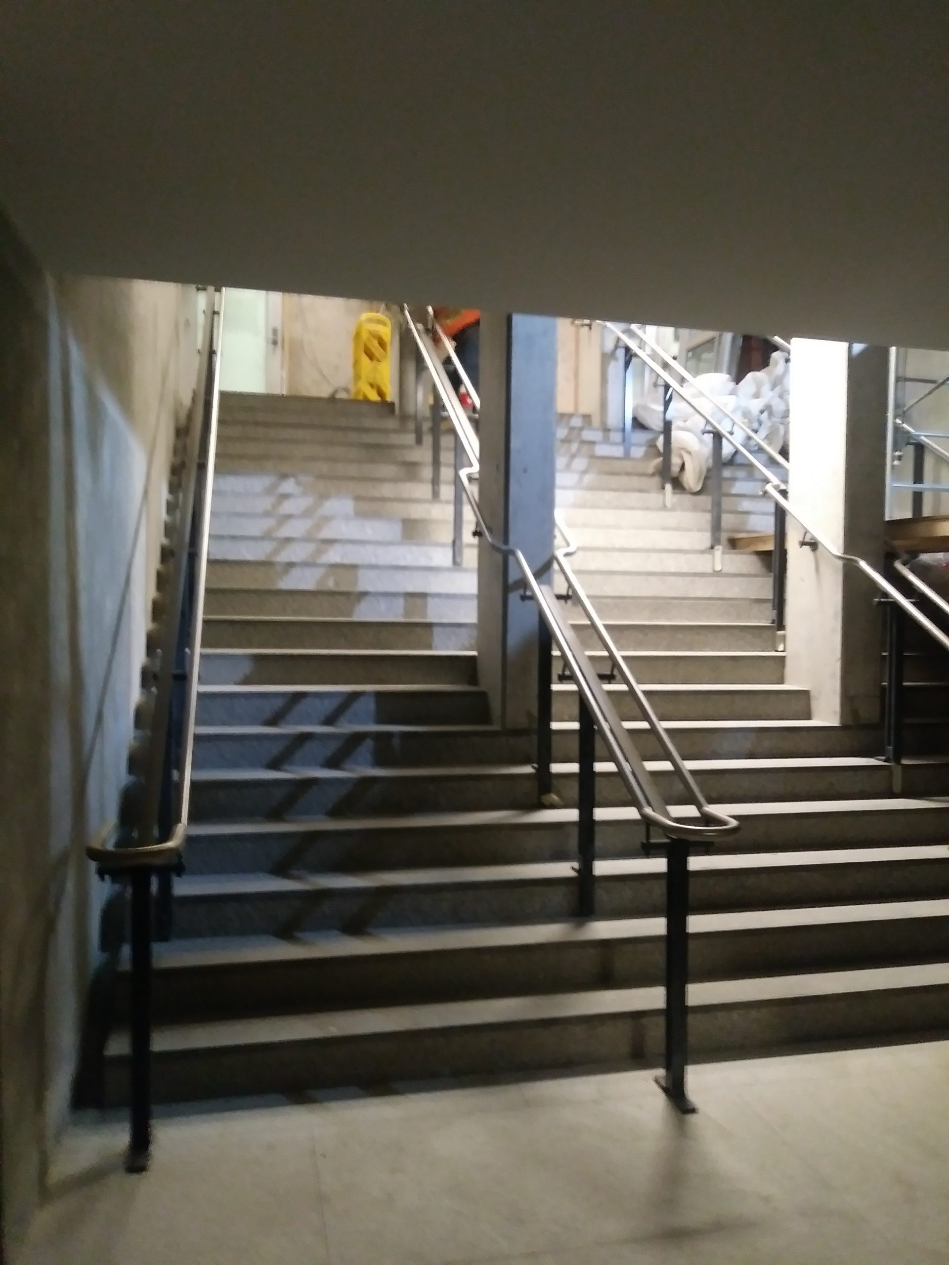
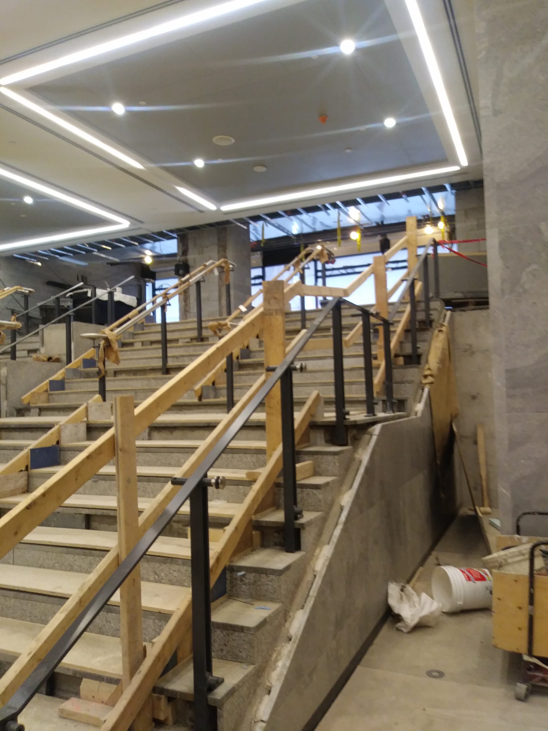
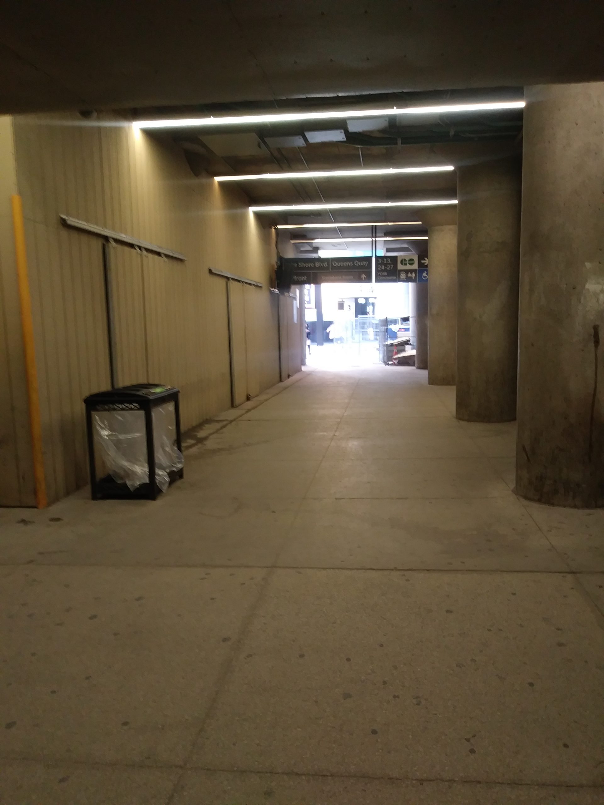
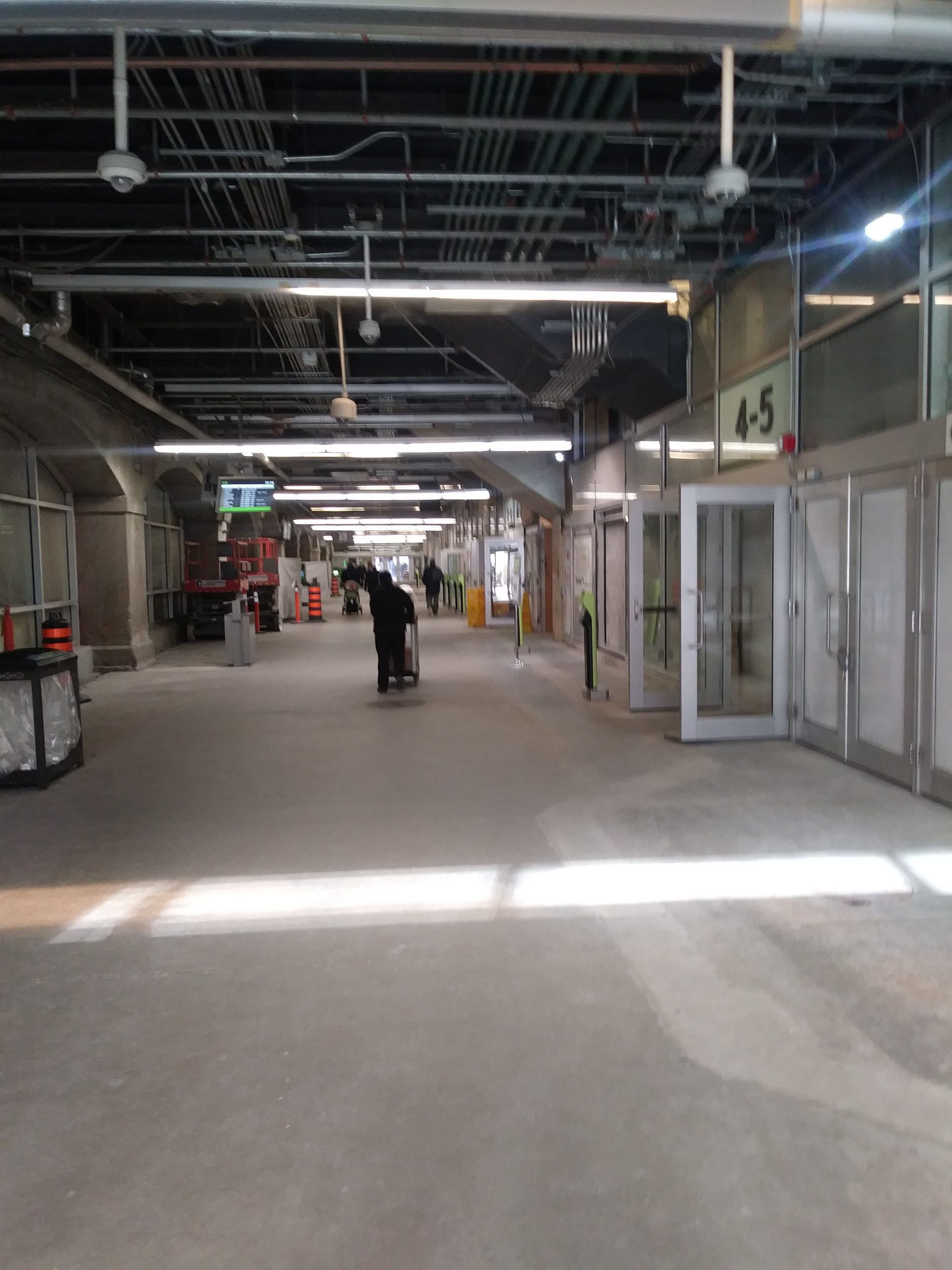
Lower level concourse, arcade level, utility rooms and passages
3 level parking structures at 10 & 20 Bay Street
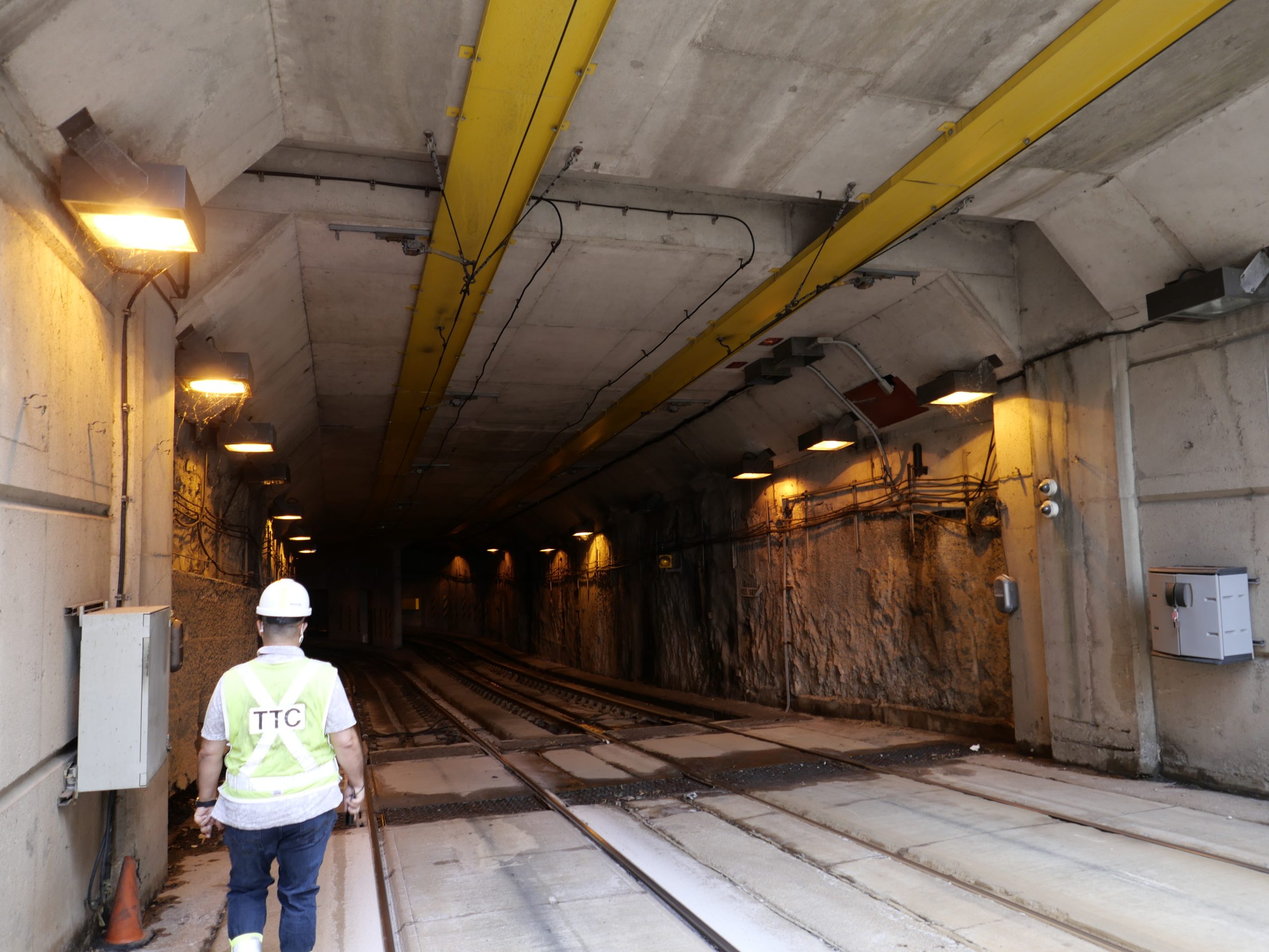
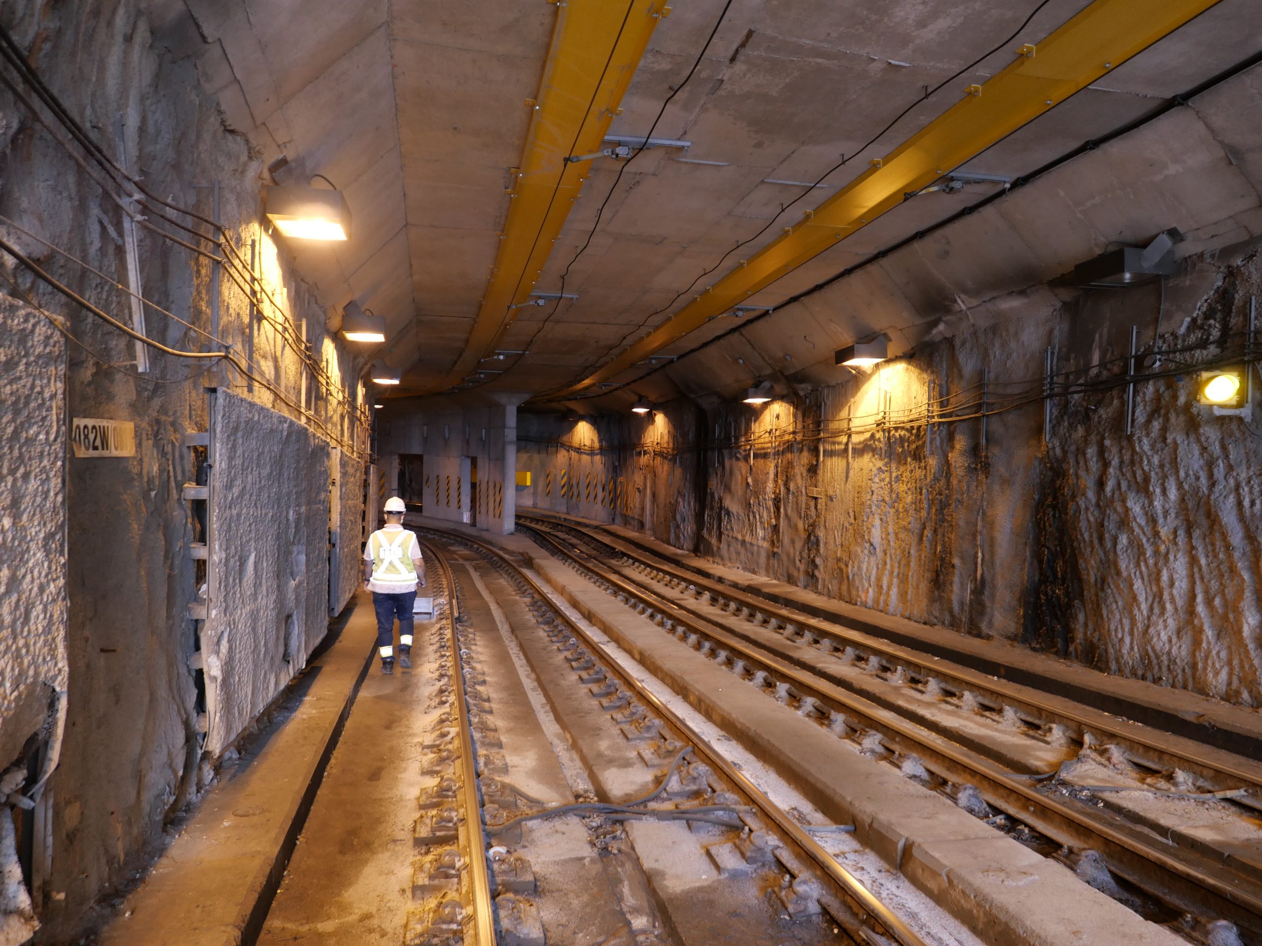
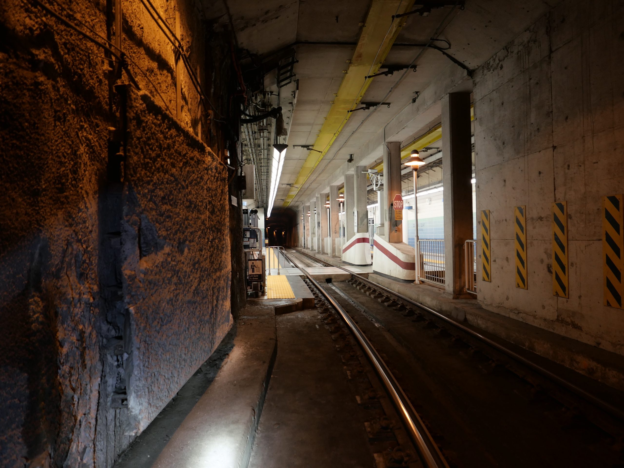
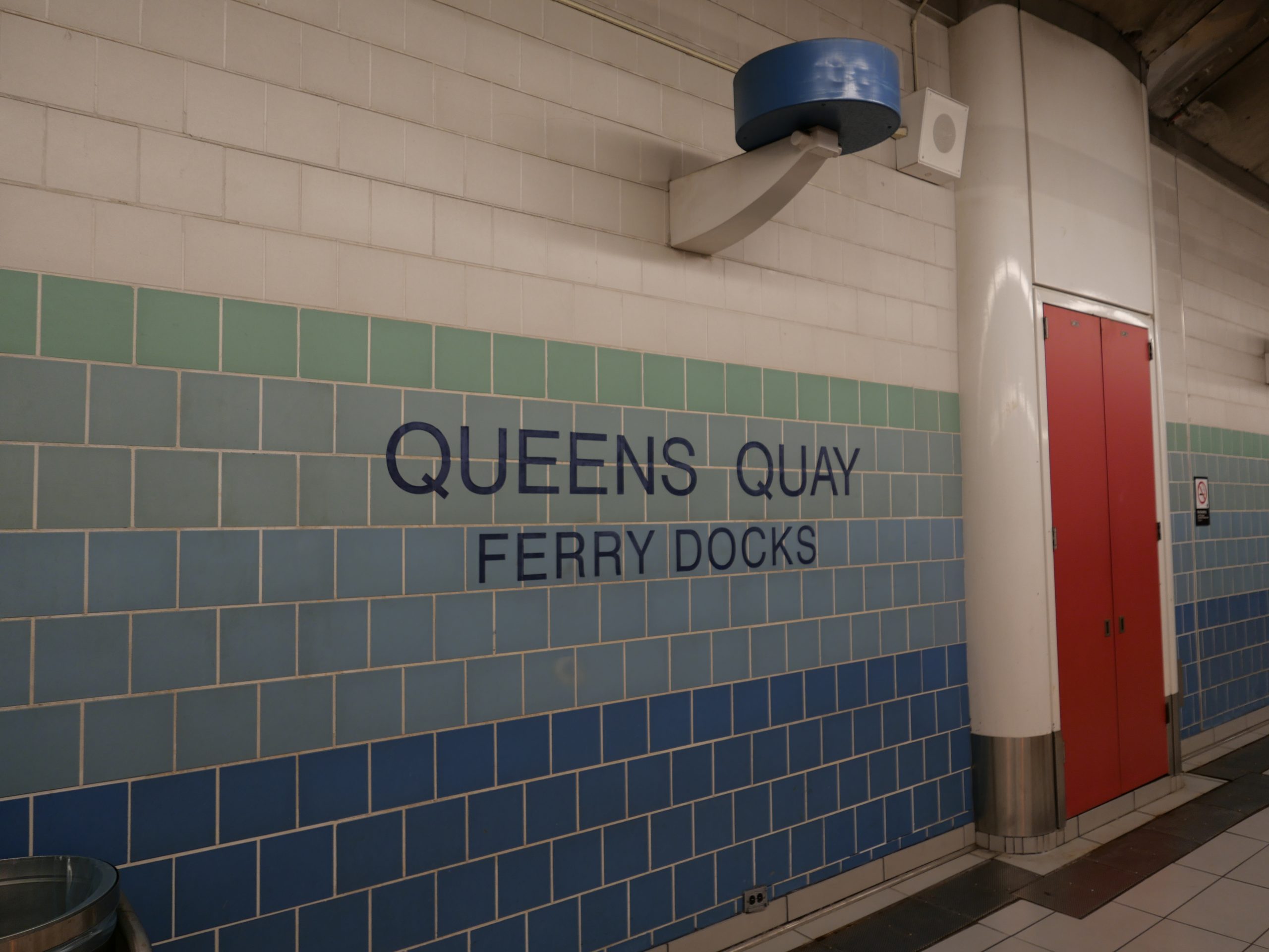
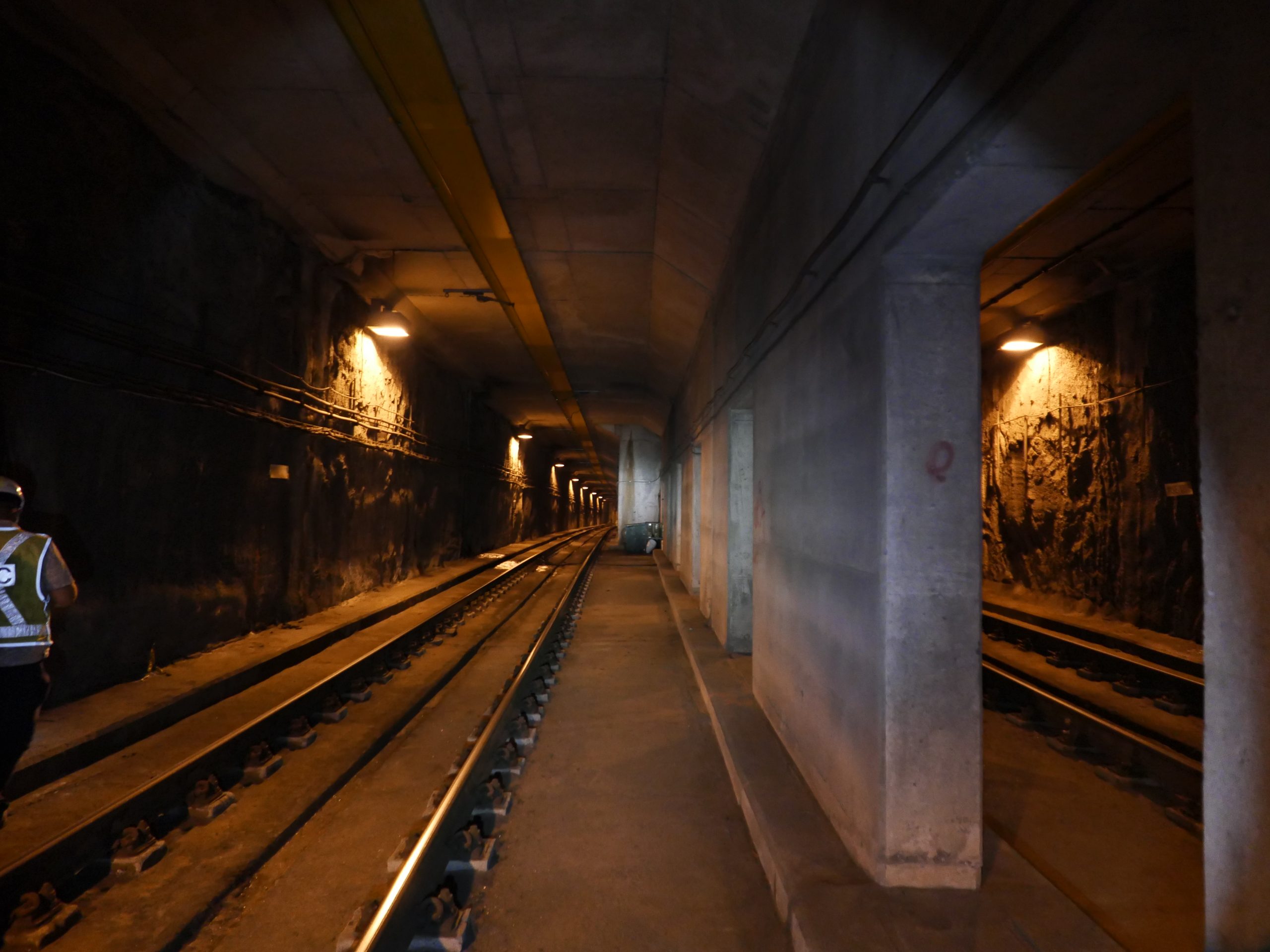
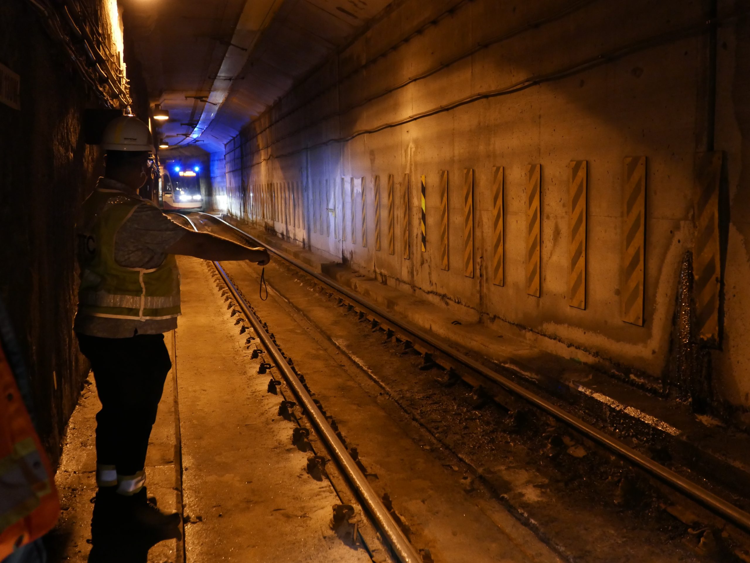
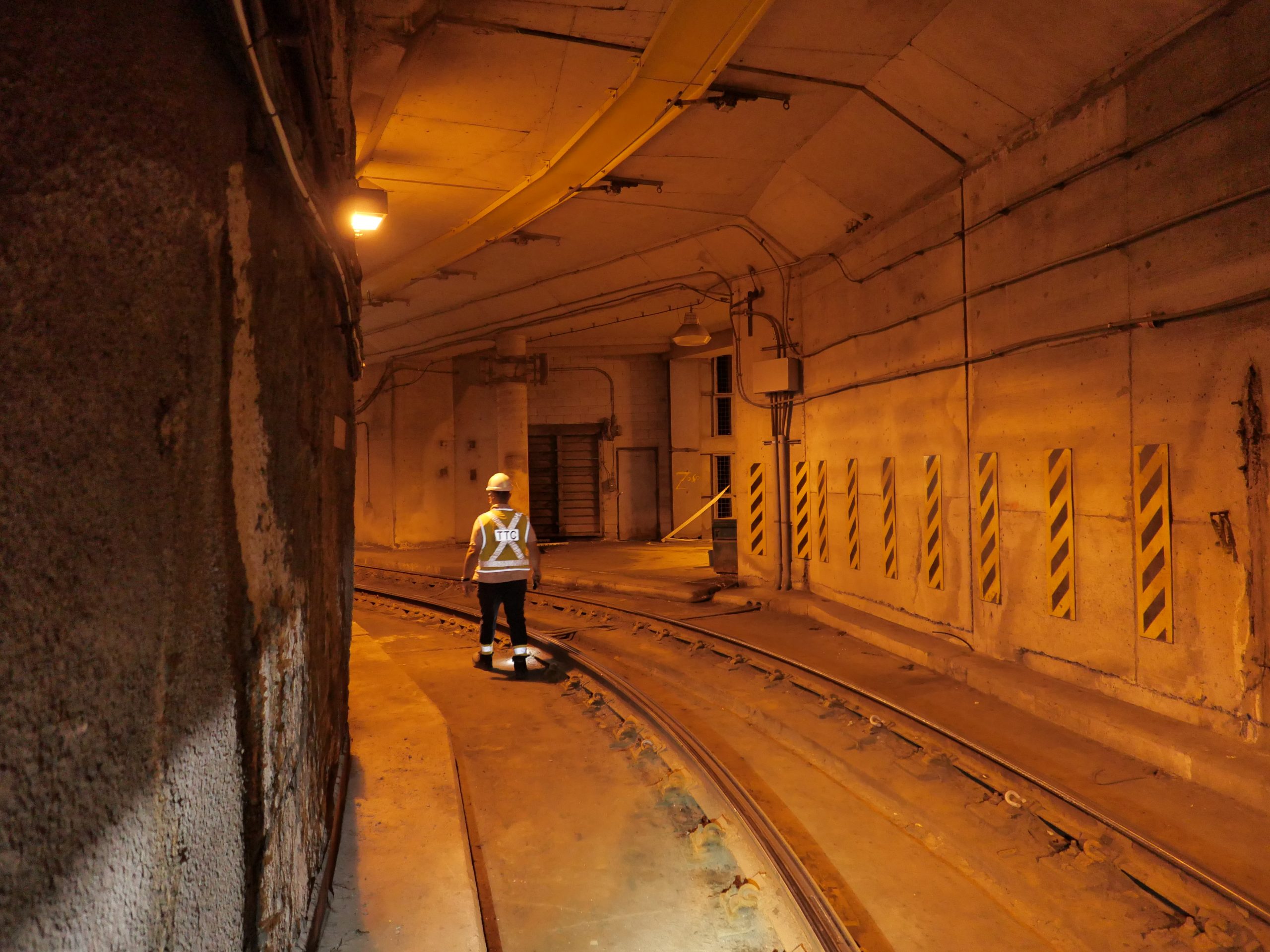
Streetcar tunnel between Queen’s Quay portal and Union station, including all features for 2 streetcar stations
Portion of TTC subway station
Control was set and established by Groma’s OLS subcontractor, tied into previous TTC project control within the survey limits. The resultant traverse was used to tie in all control and targets for scanning.
The roadways were captured using a mobile LiDAR scanning vehicle, with targets painted on the asphalt next to the curbs throughout the limits. All interior areas, including Union Station and the tunnel, were captured with stationary LiDAR technology, with control traversed in from street level.
Groma worked with the client, TTC and other stakeholders to coordinate access in and around Union Station. Scanning inside of the streetcar tunnel was completed during an already scheduled closure for maintenance work. Access into the station building and parking structures was completed during regular business hours in areas that were free of pedestrian traffic.
The client received Microstation drawing files of all extracted survey data, matching TTC standards. Groma also assisted in transposing older design drawings to match the survey coordinate system, using common features between the design and existing survey.
Services Provided

3D Laser Scanning

GPS/Total Station

