About The Project
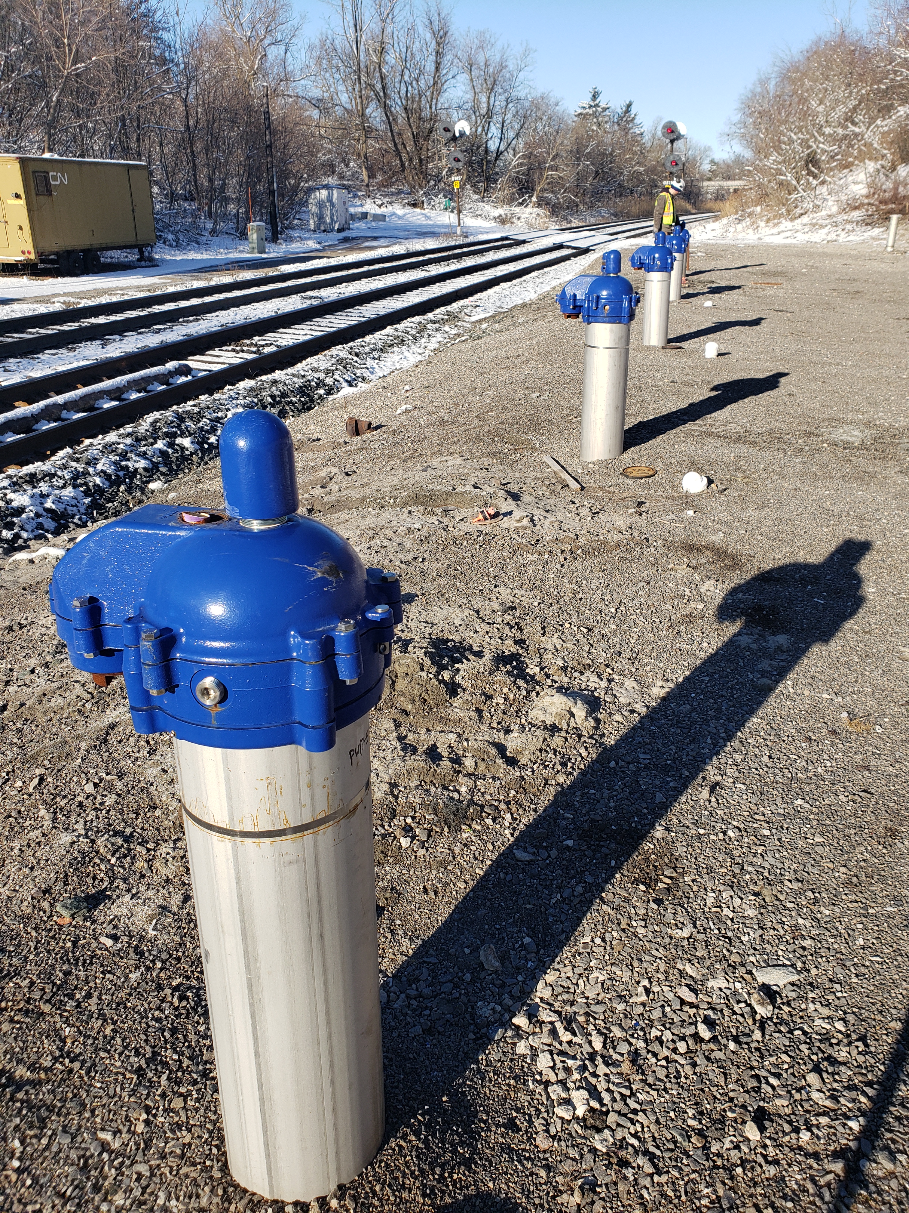
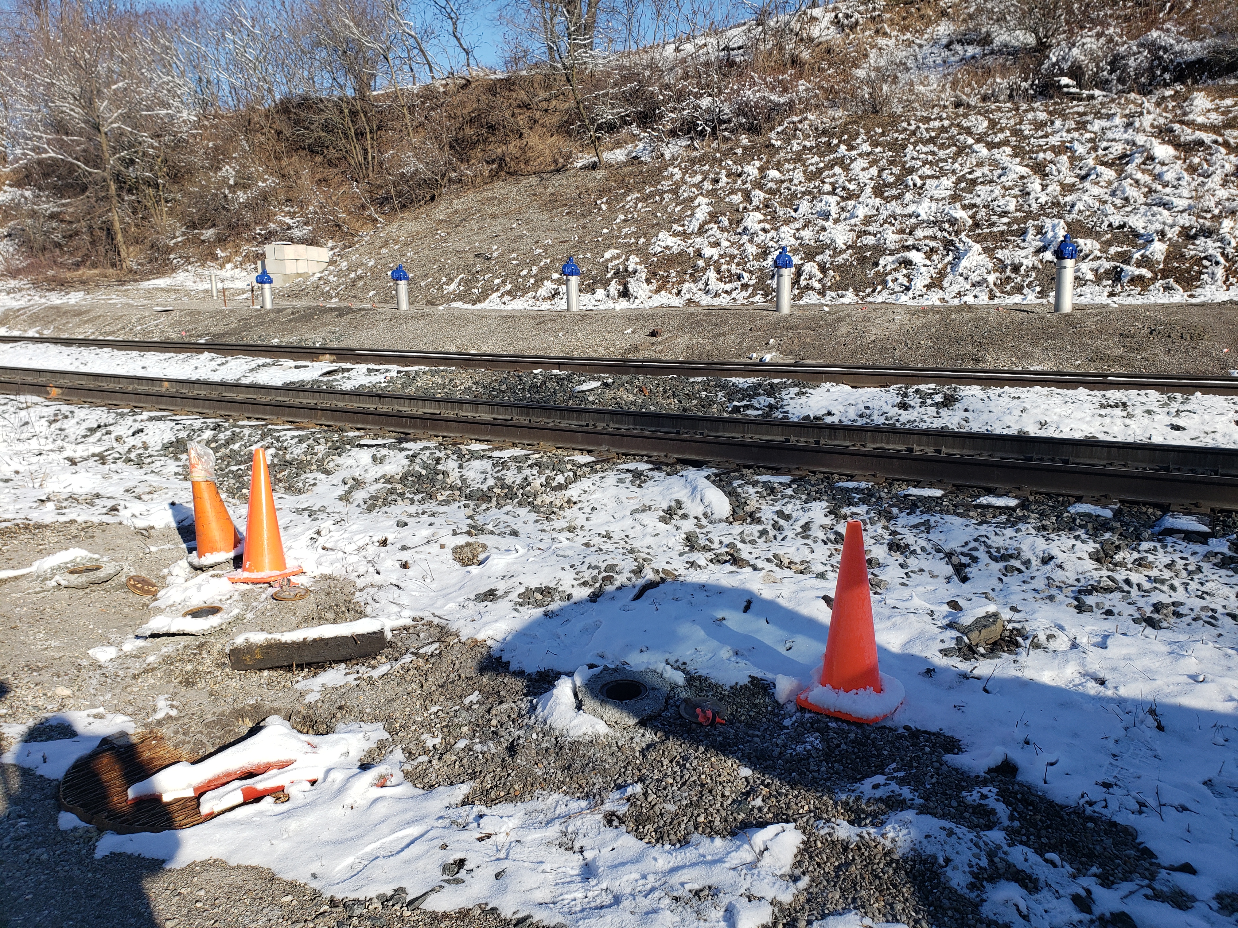
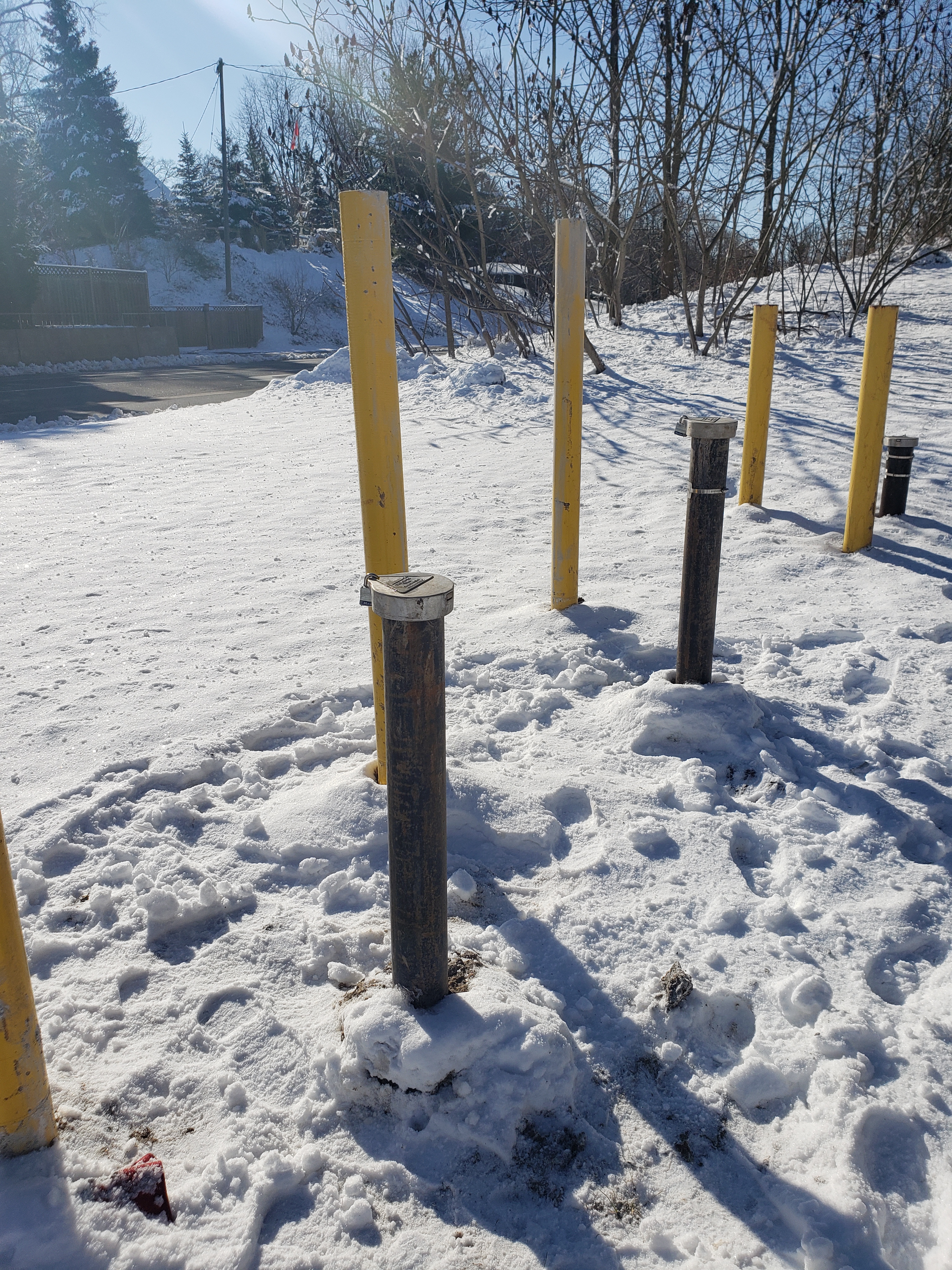
In February, a surveyor was dispatched to site to survey proposed borehole locations, returning again in April to survey the points after boreholes and other pipes had been installed. Someone from RWDI was on site to show us which measurements and points were needed on the boreholes after installation.
Groma was on this site in 2016 for separate work, but tied into old base and control points which were used to determine the location of the boreholes.
Services Provided

GPS/Total Station
Our field teams use Leica robotic Total Stations, Leica, Trimble, and Topcon GNSS units and Leica DNA03 digital levels to provide a wide range of services for projects of any size; includes topographical surveys, construction layout, control networks, deformation monitoring, site volume calculations, as-built surveys and much more.
