About The Project
The survey of the Aldershot Creek watershed in Burlington (south of Plains Road in Burlington) was completed in several stages.
Surveyors went through initially to set control and survey the culvert/bridge crossings, as well as the roadways that pass over the creek. A drone team returned later to survey the site with aerial LiDAR, which penetrated the thick vegetation cover to provide data on the ground below. This was completed much more quickly than a conventional survey would take, due to the difficultly to navigate the forest at that time of year. A point cloud, ortho photos and surface were delivered to the client, in addition to conventional survey linework.
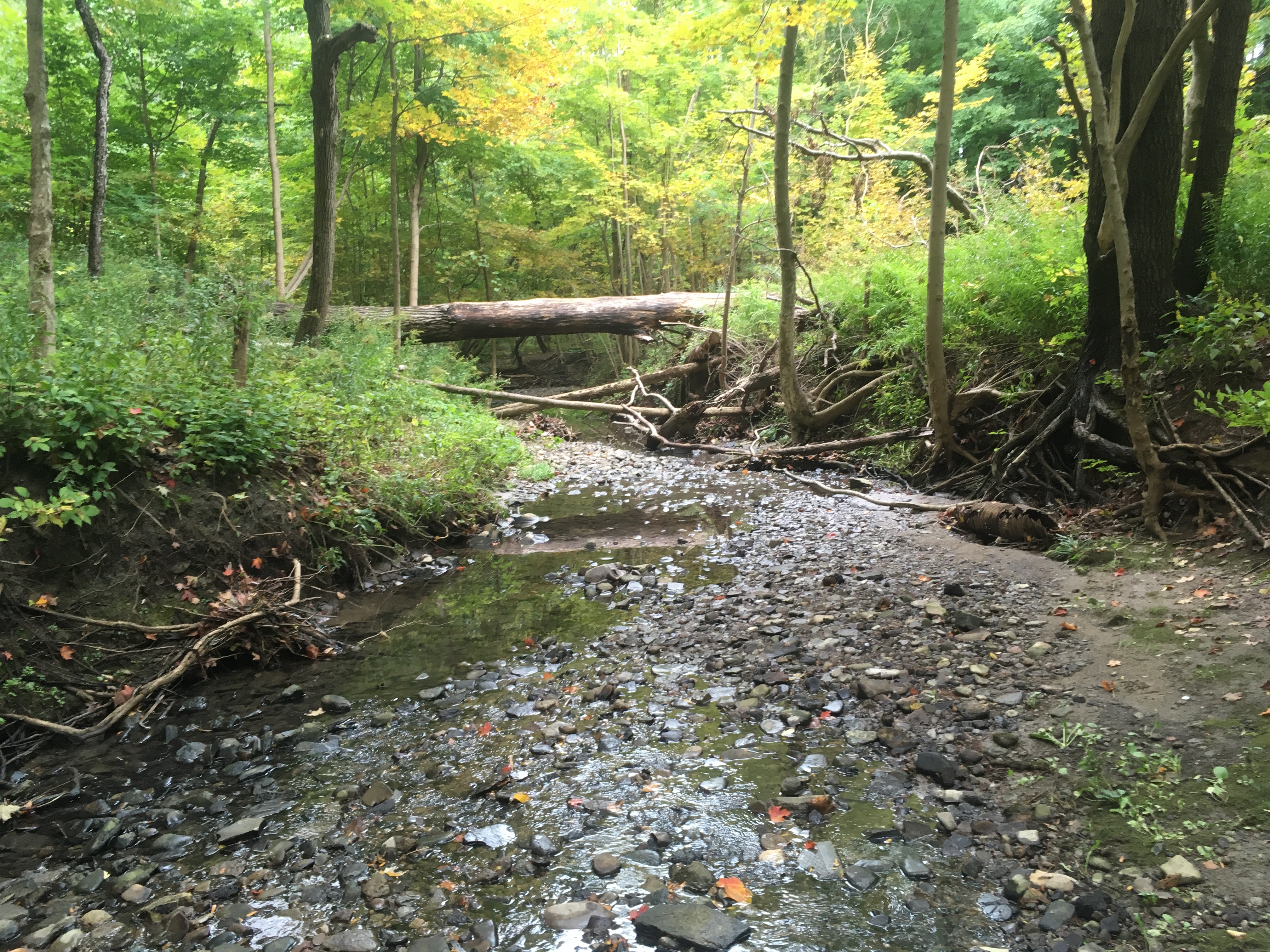
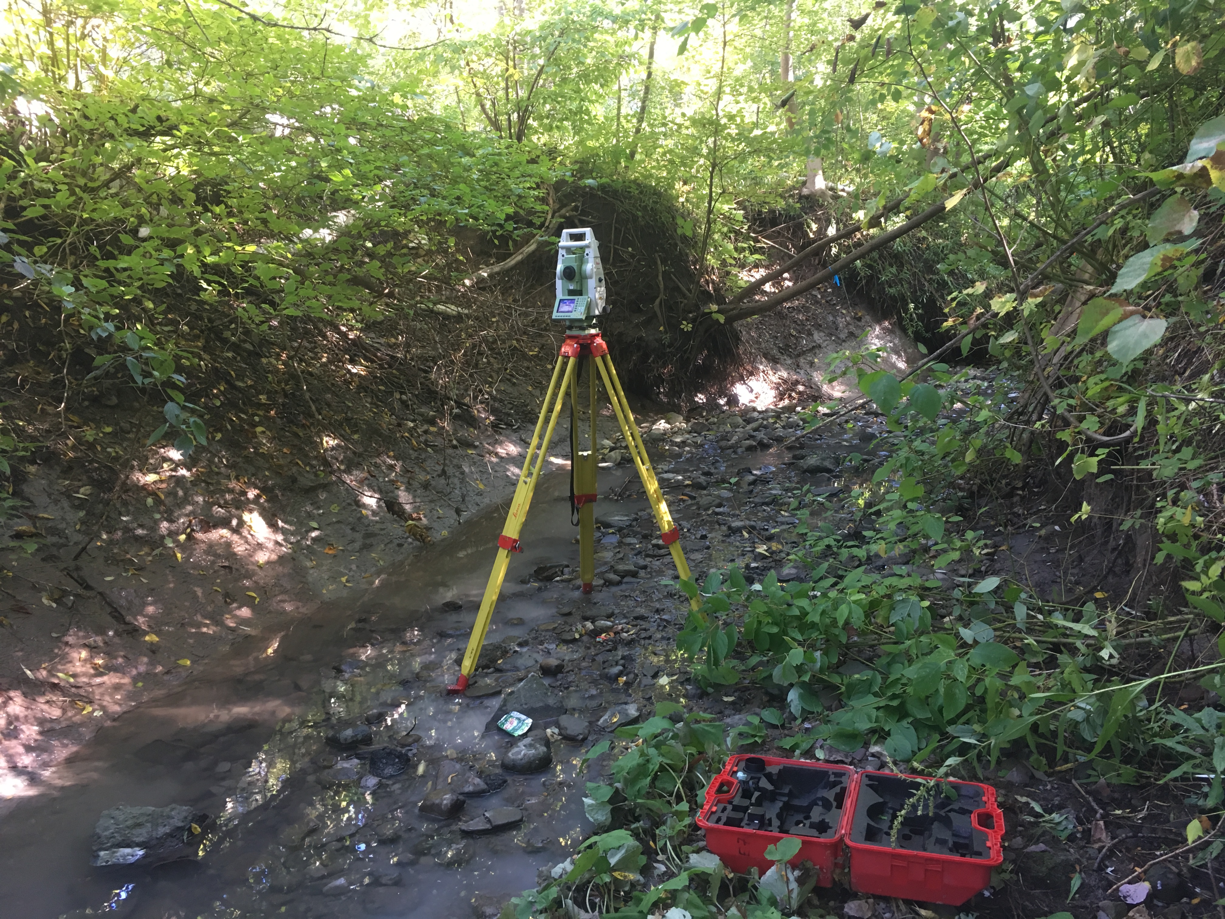
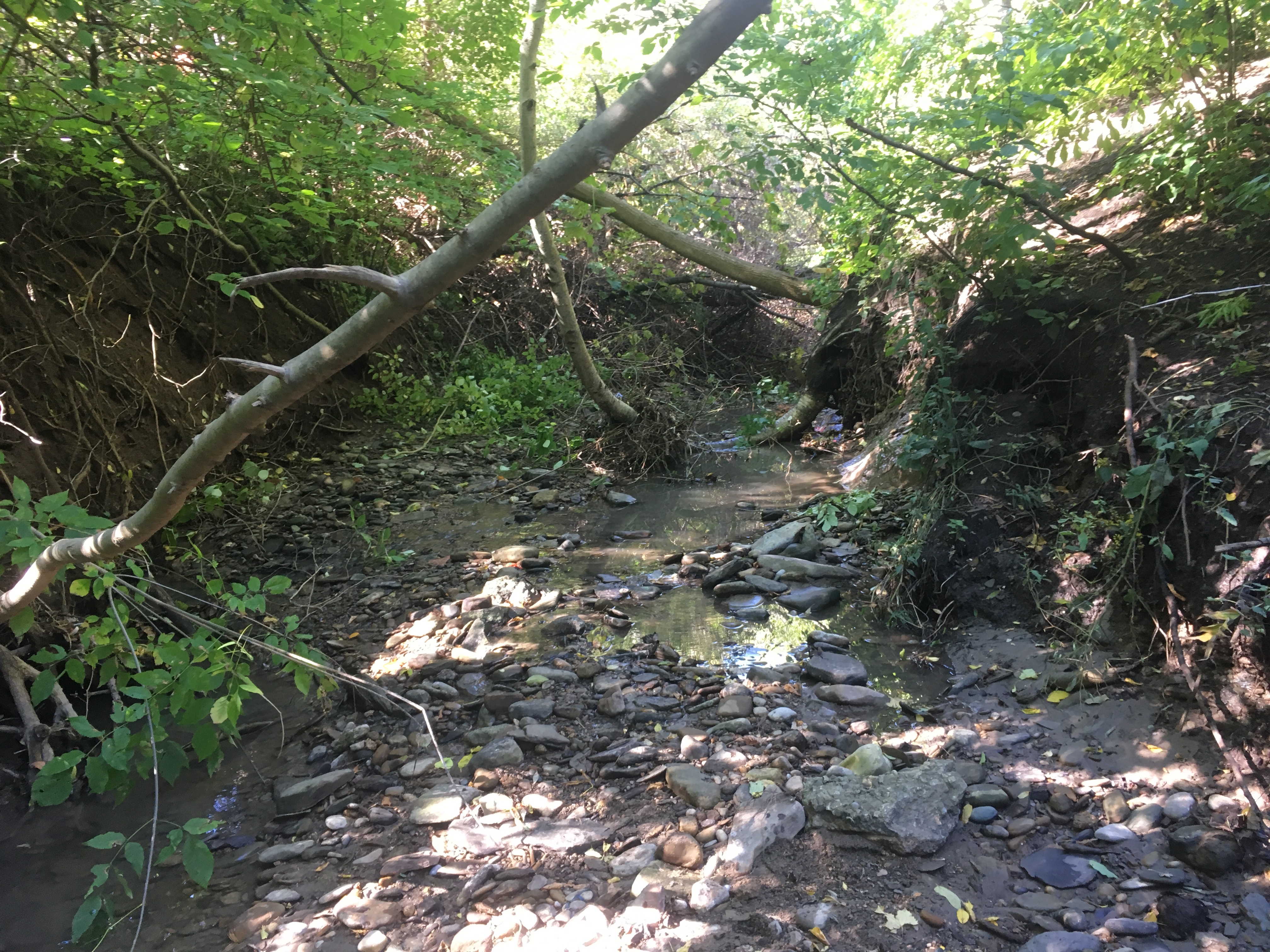
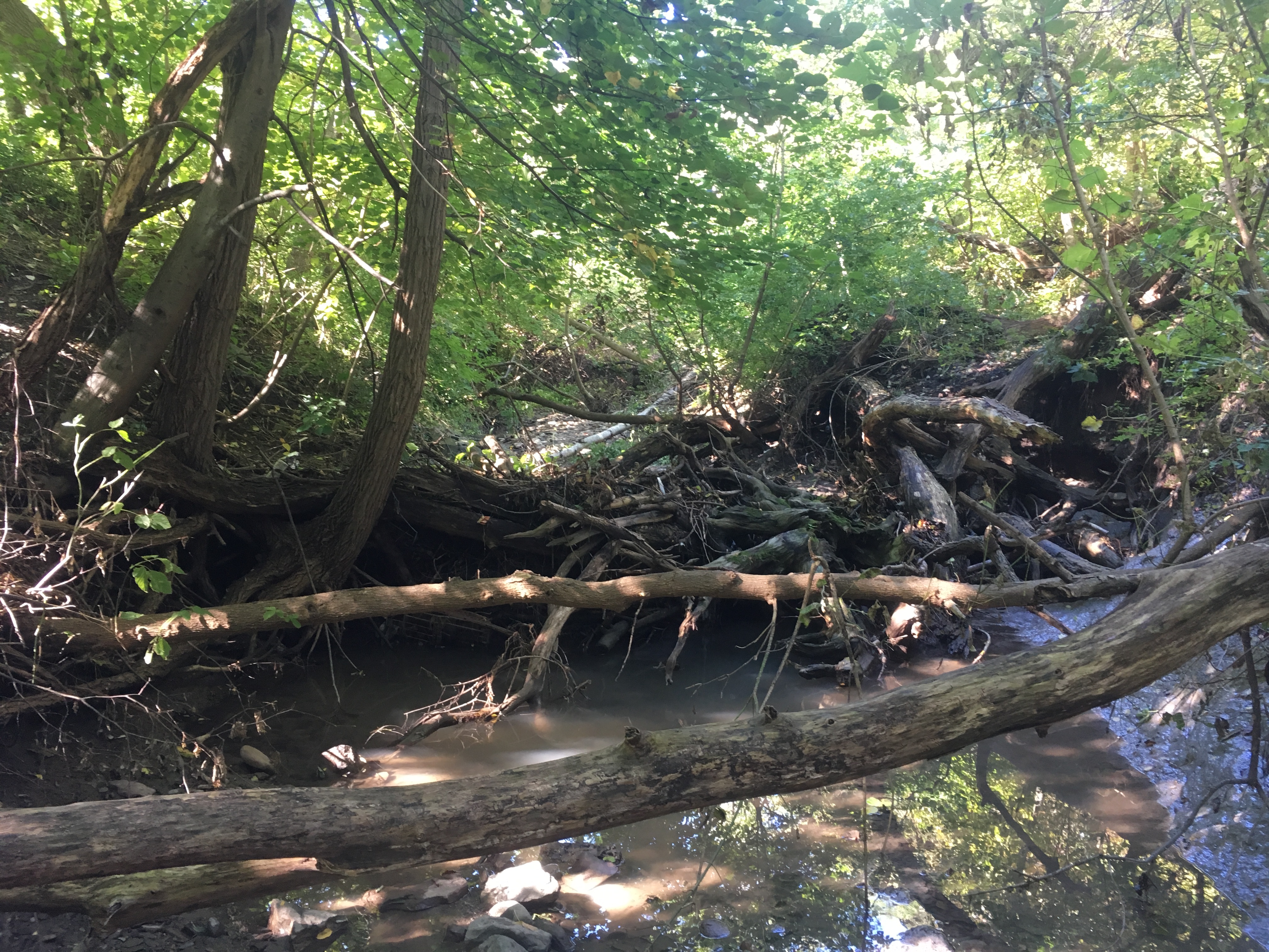
A survey crew returned later on to capture data along the banks, where incising had taken place. The drone would not be able to see this kind of feature since the ground is incised into the bank, leaving an overhang that makes it invisible to a top-down viewer. A crew traversed the creek with total station to survey incisions and take photos at each cross section.
A survey crew returned to site in late spring 2019 for an initial tree survey.
Services Provided

Aerial Drone Surveying
