About The Project
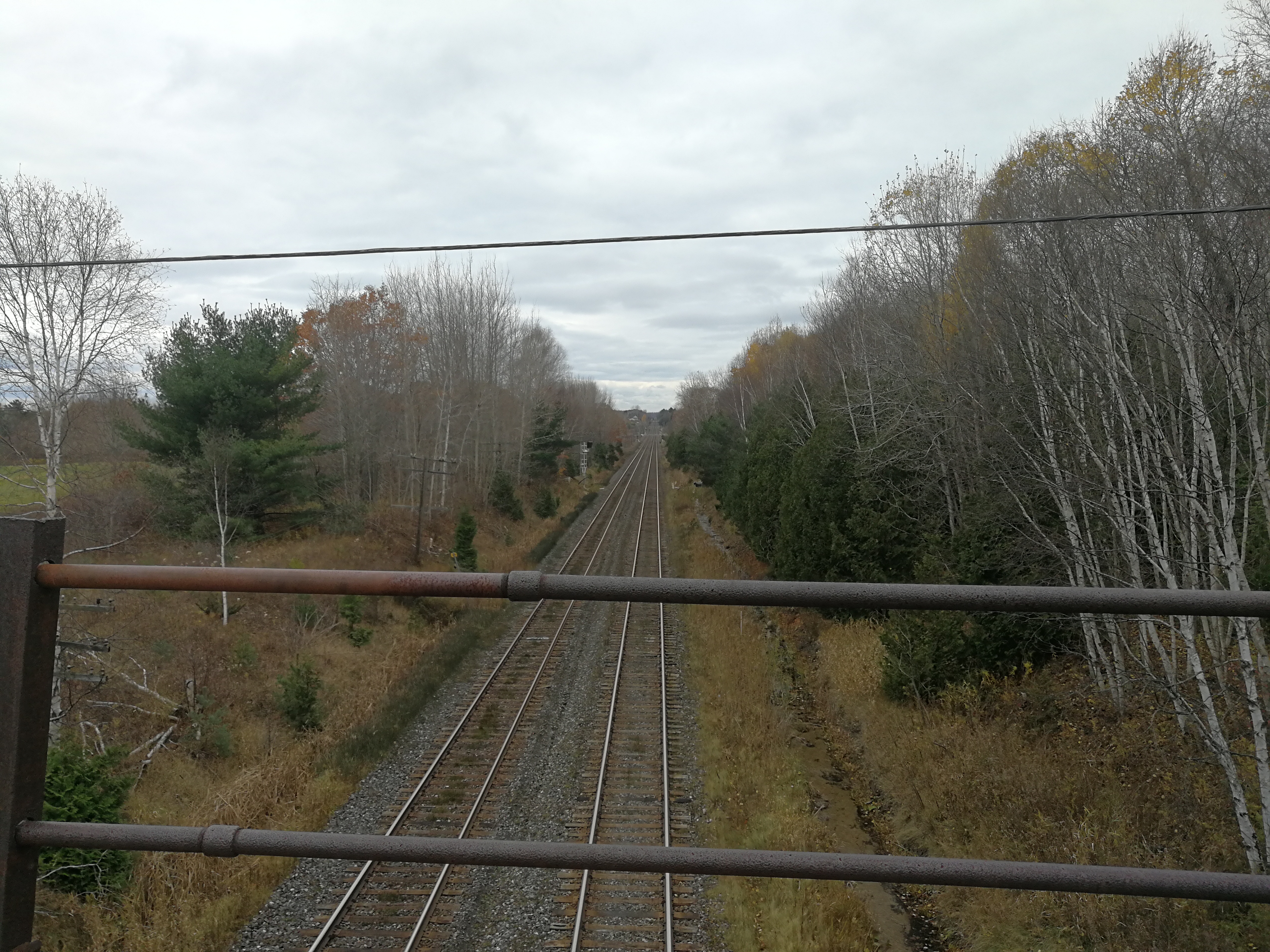
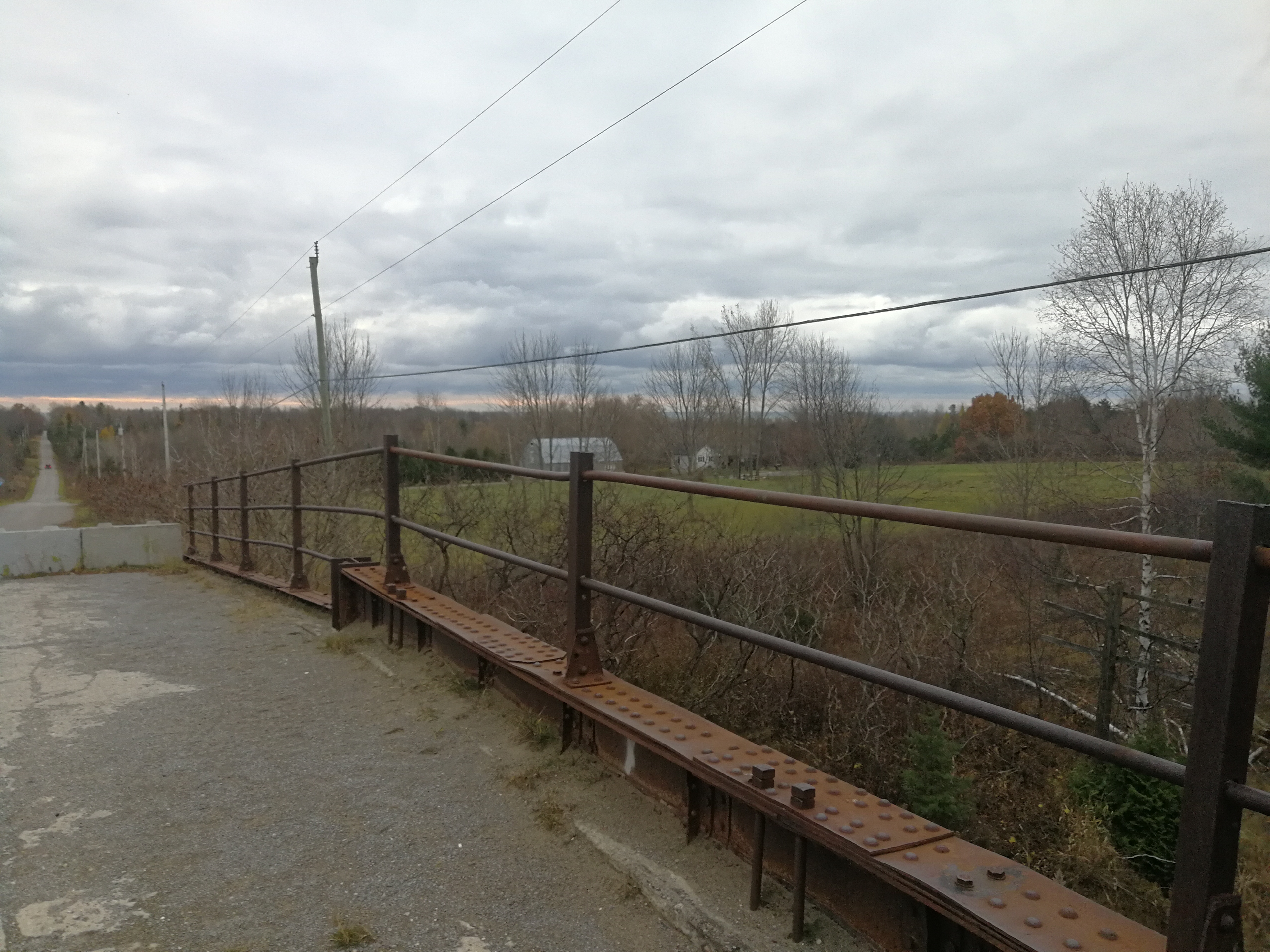
This survey took place outside of Brighton, Ontario, where a bridge crossing the CN tracks needed to be surveyed. The roadway approaches were also surveyed to the nearest intersections north and south of the bridge.
Initially the road-level items were surveyed without flagging. To avoid the need for a flagman, the underside of the bridge was surveyed by means of 3D laser scanning. The scanner was set up in several positions off the corridor to fully capture what is under the bridge. The resulting point cloud was digitized, and this linework was combined with what was conventionally surveyed before.
After the initial survey was completed, we returned to site to survey property bar positions along Barnes Road and up to the intersections north and south of the bridge. Most property bar locations were determined using provided R Plan drawings, referenced to bars that had been found during the initial survey. Bars that were staked out were found within 10cm of the expected locations.
Services Provided

GPS/Total Station
