About The Project
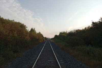
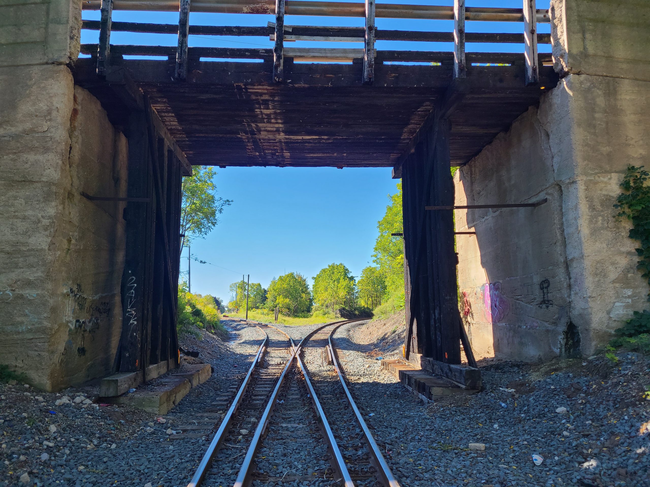
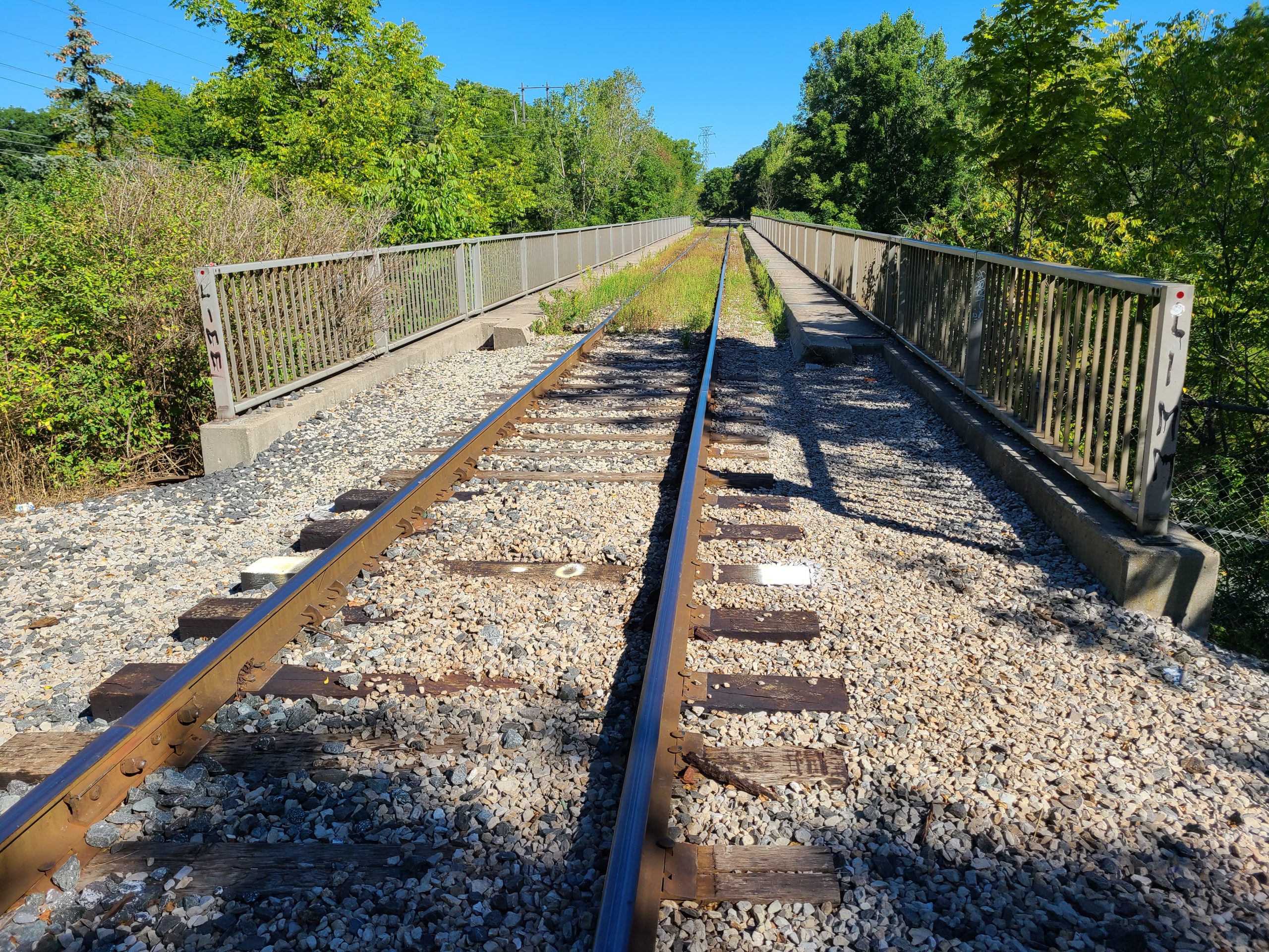
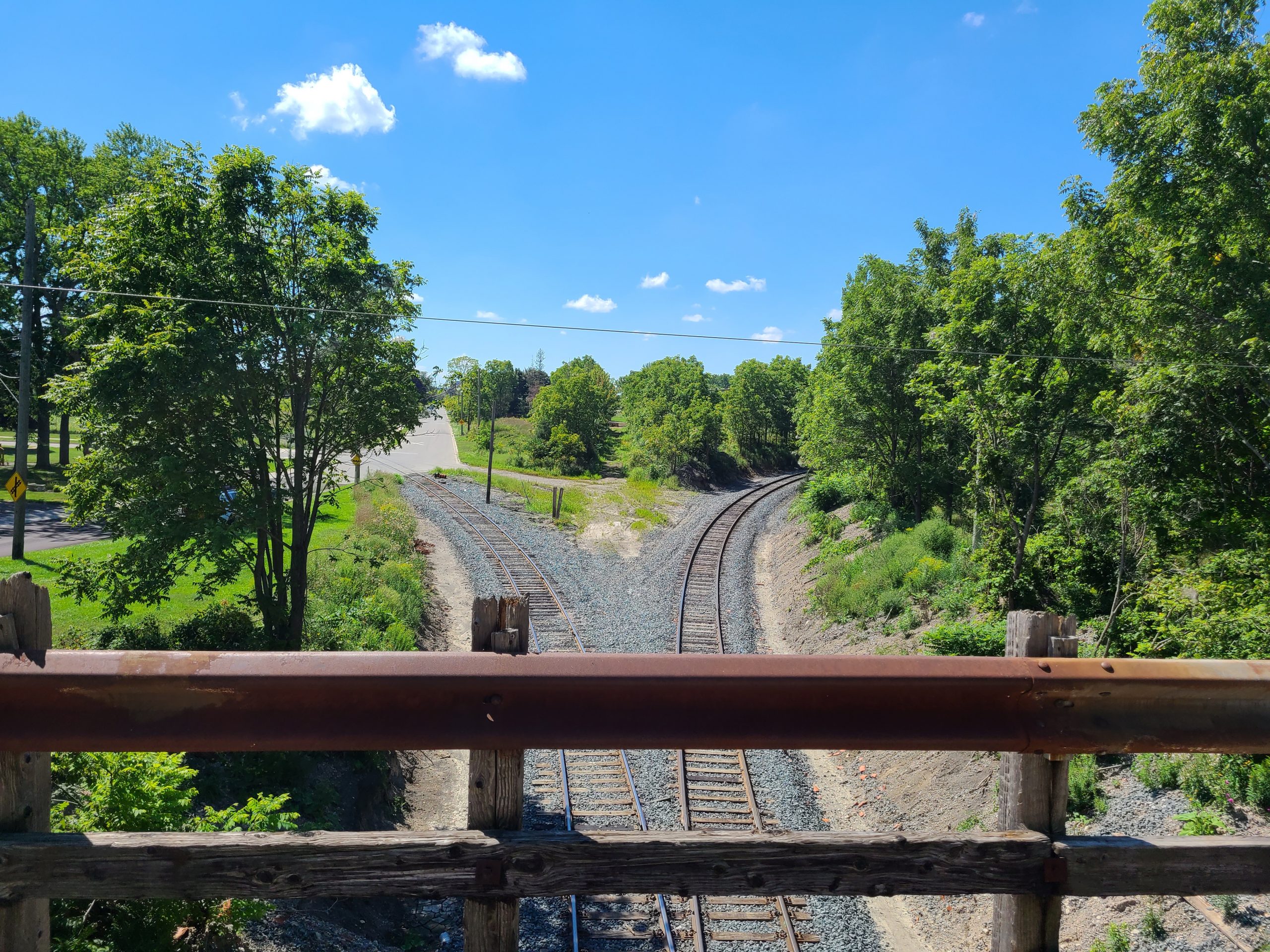
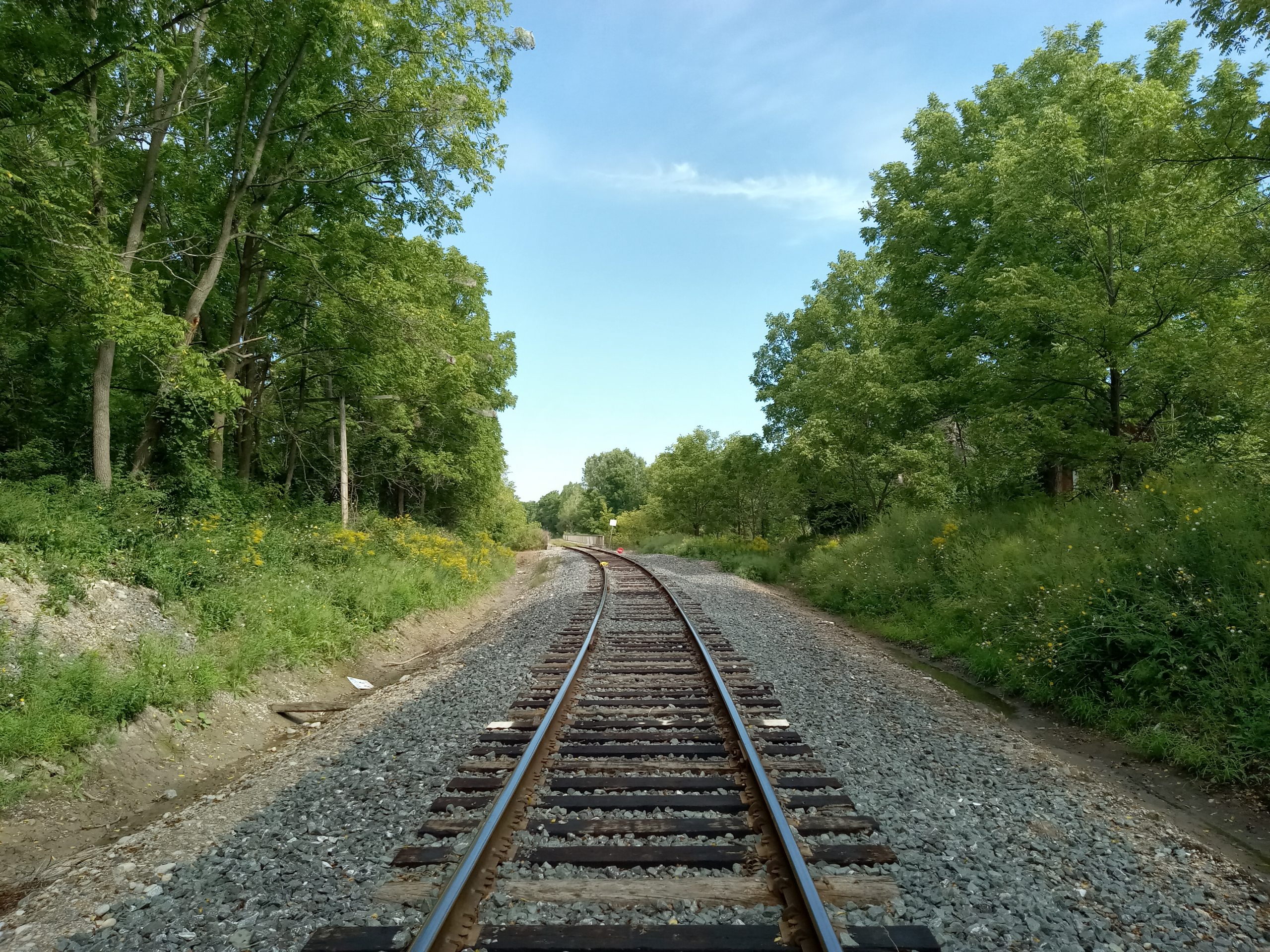
Topographic survey of Barwick Street bridge over CN right of way, and the CN rail corridor between Highway 3 & the Paynes/Cayuga Subdivision mainline. Ground points, banks and other ground features were captured in an aerial LiDAR flight of the site limits. This data was supplemented by total station surveys of the bridge, track and roadways where higher accuracy was required.
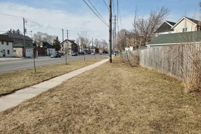
A legal boundary survey was completed by Groma’s OLS subcontractor, requiring coordination with local surveyors to collect records of the adjacent properties and roadways.
Services Provided

Aerial Drone Surveying
Using unmanned fixed-wing and rotorcraft we can provide economical ways to perform aerial surveys. Our drones can be launched and sent to remote or hazardous locations to gather survey data or perform visual inspections. Using LiDAR techniques, the data can be used to provide geo-referenced results in a variety of formats.
GPS/Total Station
Our field teams use Leica robotic Total Stations, Leica, Trimble, and Topcon GNSS units and Leica DNA03 digital levels to provide a wide range of services for projects of any size; includes topographical surveys, construction layout, control networks, deformation monitoring, site volume calculations, as-built surveys and much more.
