About The Project
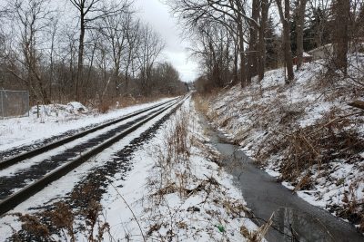
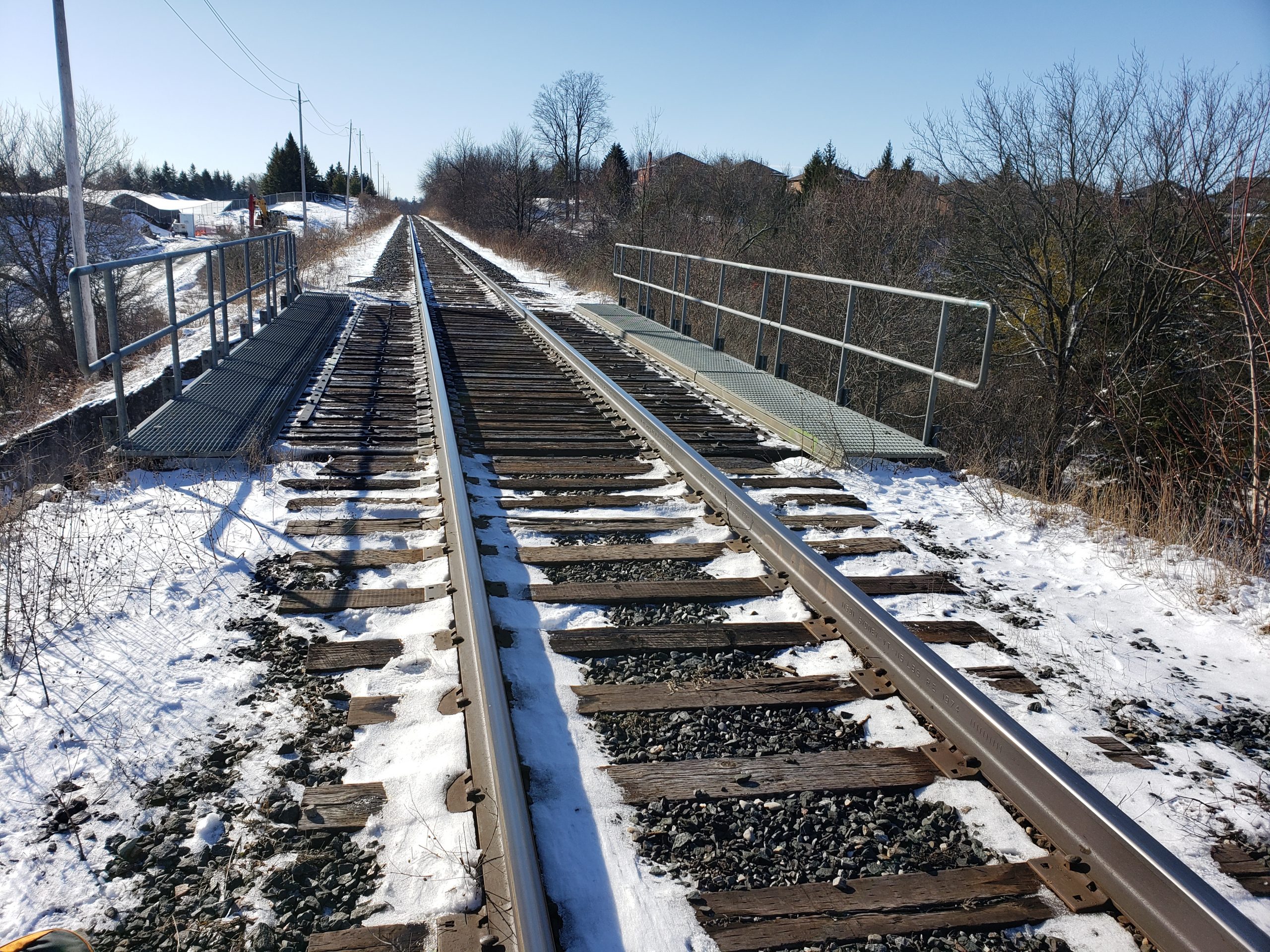
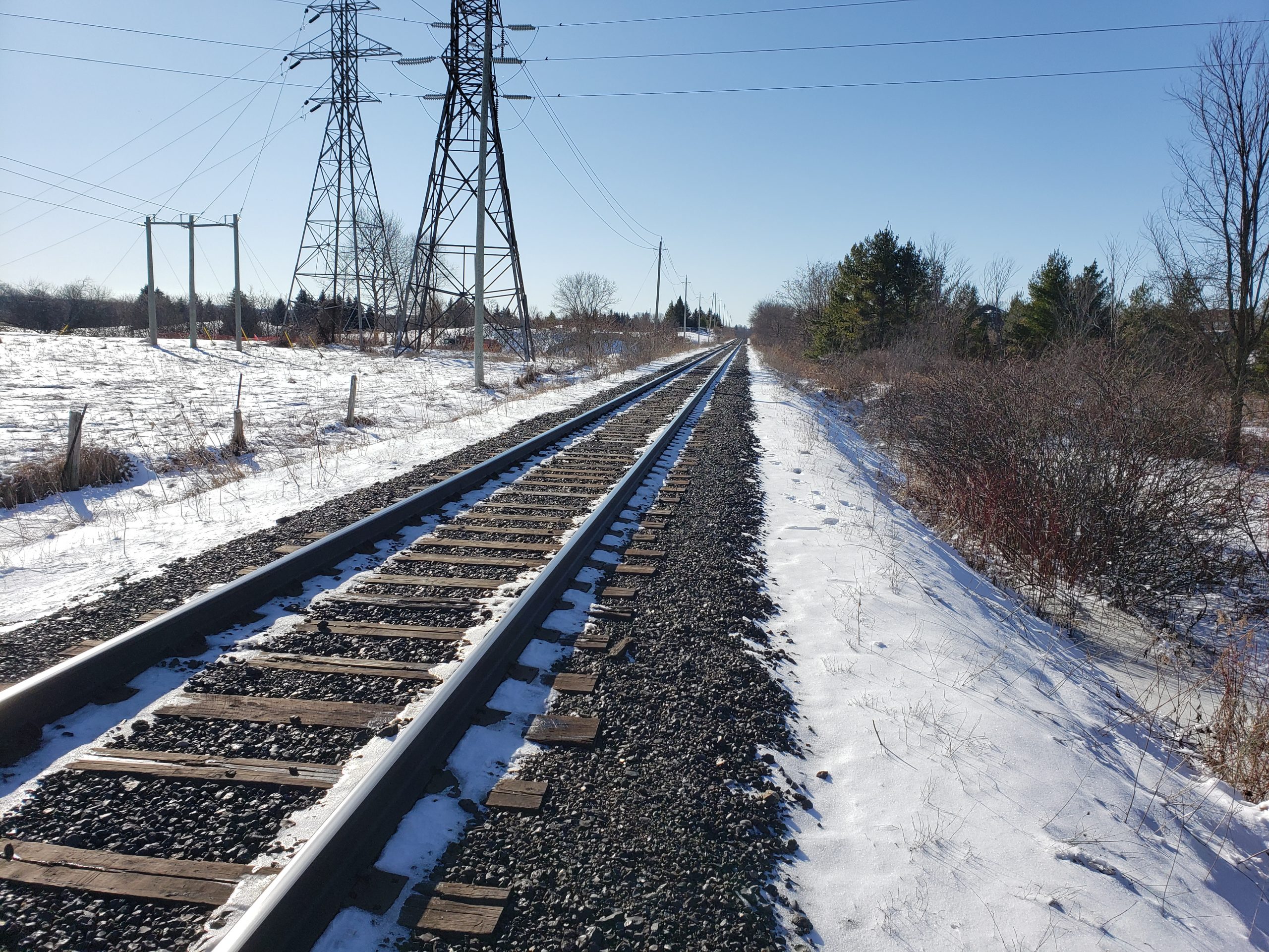
Topographic, utility locates and legal boundary survey of ~1km of Metrolinx’s Newmarket corridor, between St. John’s Sideroad and Mulock Drive in Newmarket.
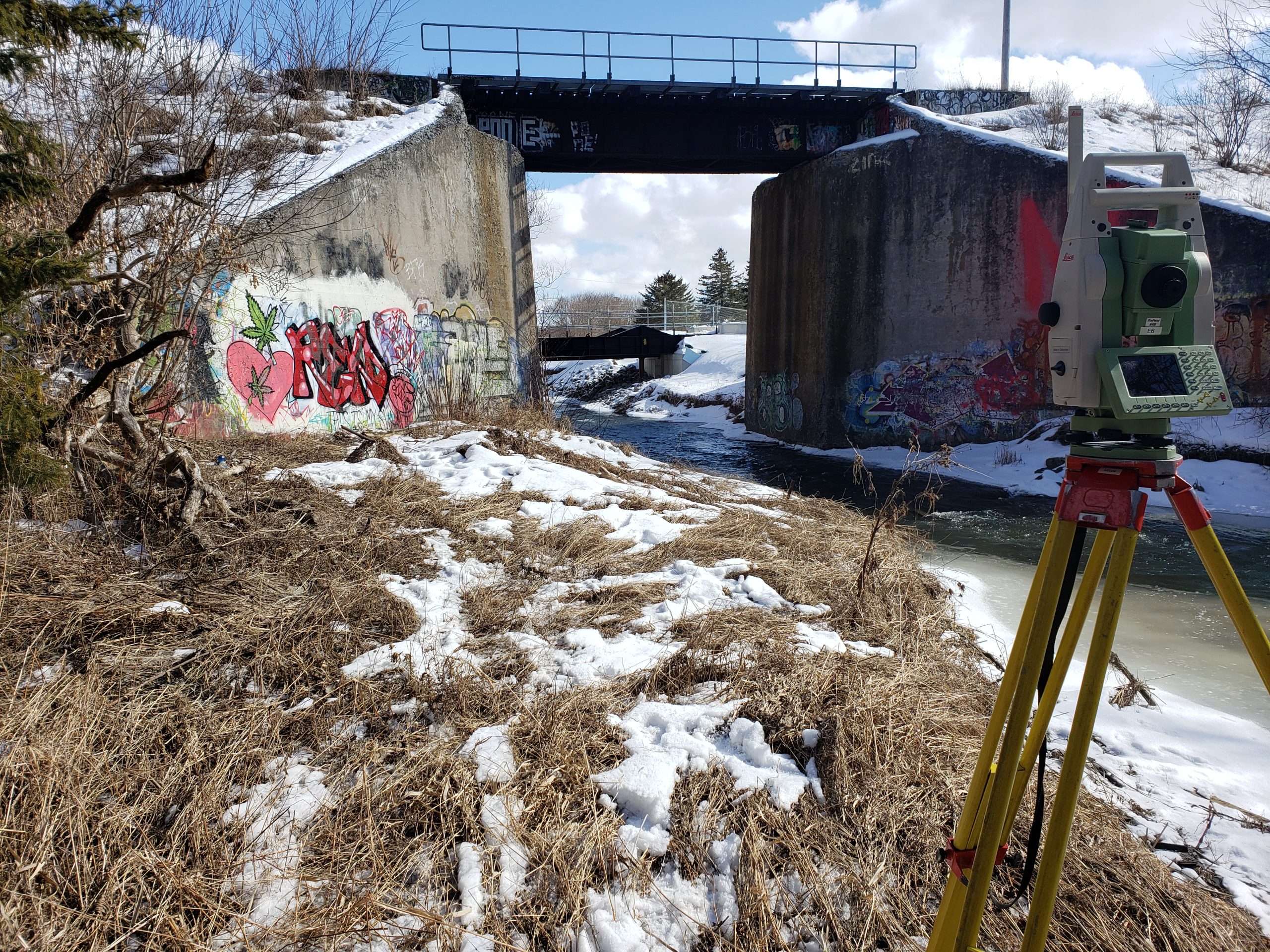
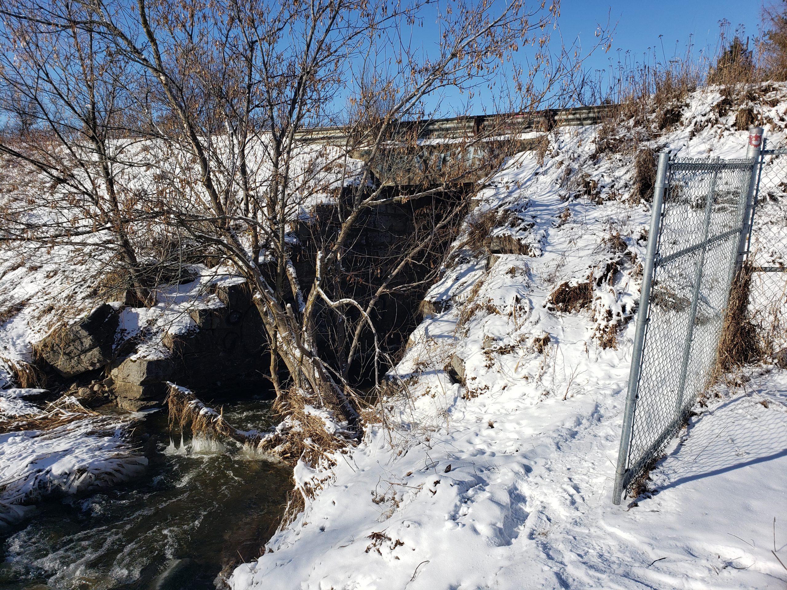
The survey included the full width of the corridor, with limits extending further at the main bridge. Survey crews also captured smaller culverts passing beneath the corridor. A previously installed access road allowed crews to reach site directly without the use of a Hi Rail. The corridor, slopes and bridge structure were surveyed in February of 2020, but the creek was surveyed in late April after all of the snow and ice had melted.
Utility locates were completed by Groma’s public locates subcontractor, with PNR and CN also checking the site for any fiber lines.
The client received the survey points list, base plans of topo and the utility locates, and the legal boundary plan.
Services Provided

