About The Project
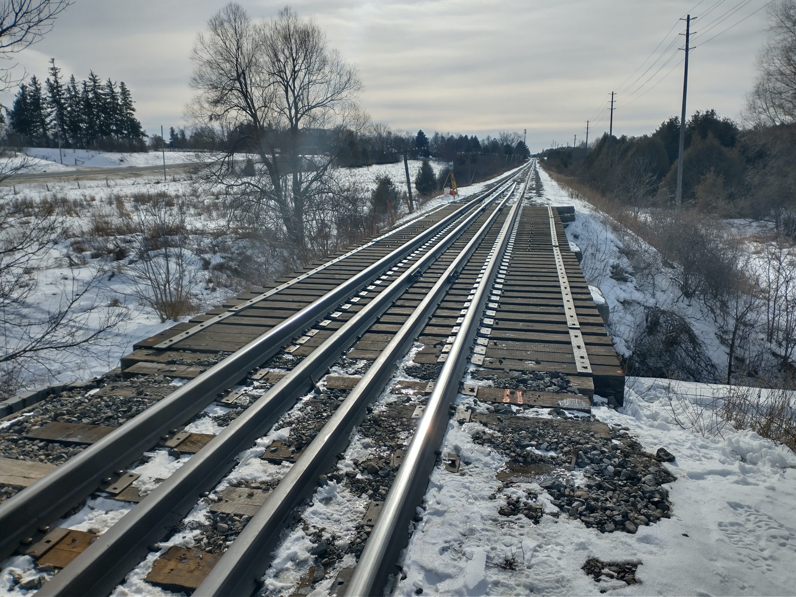
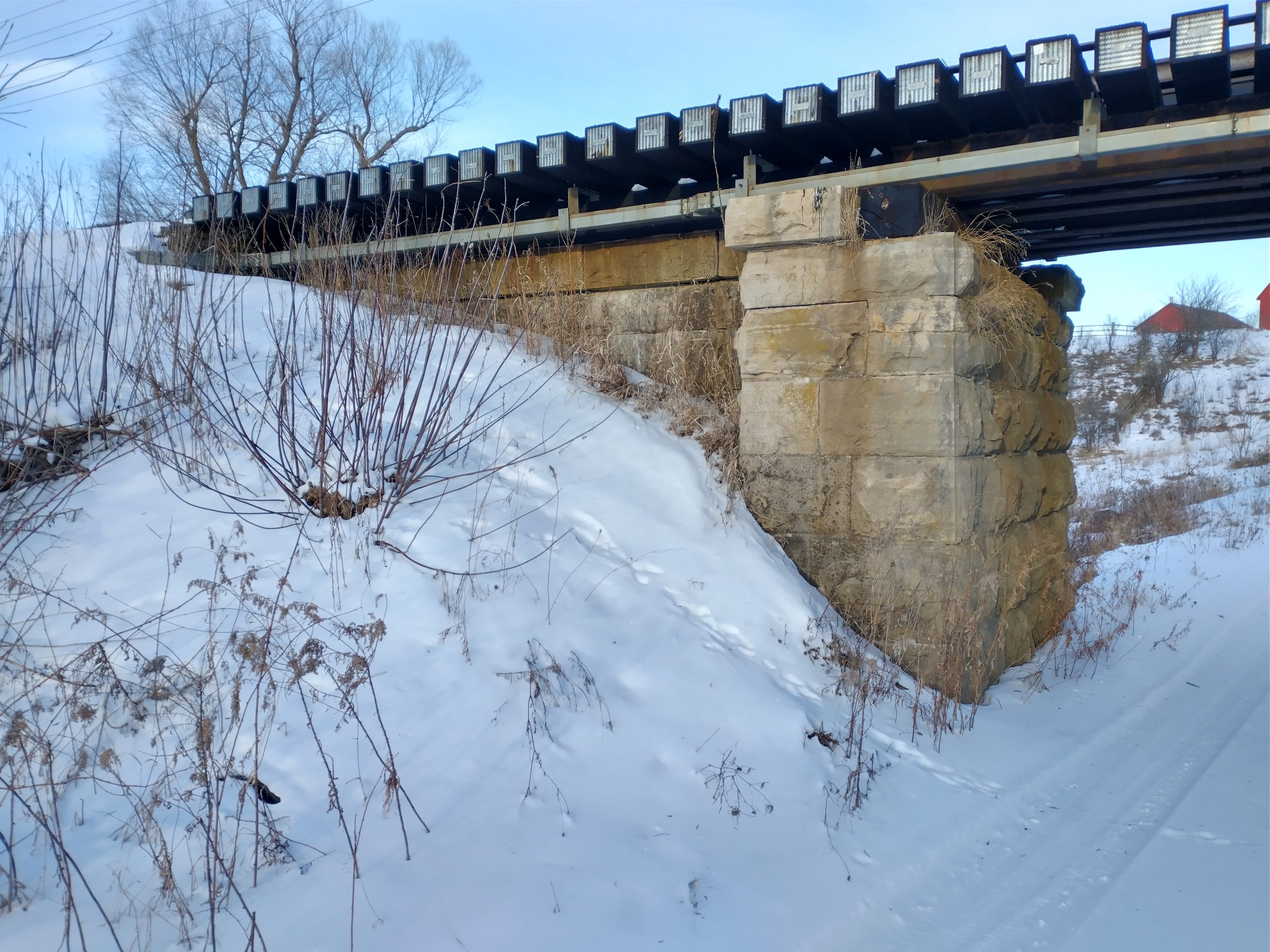
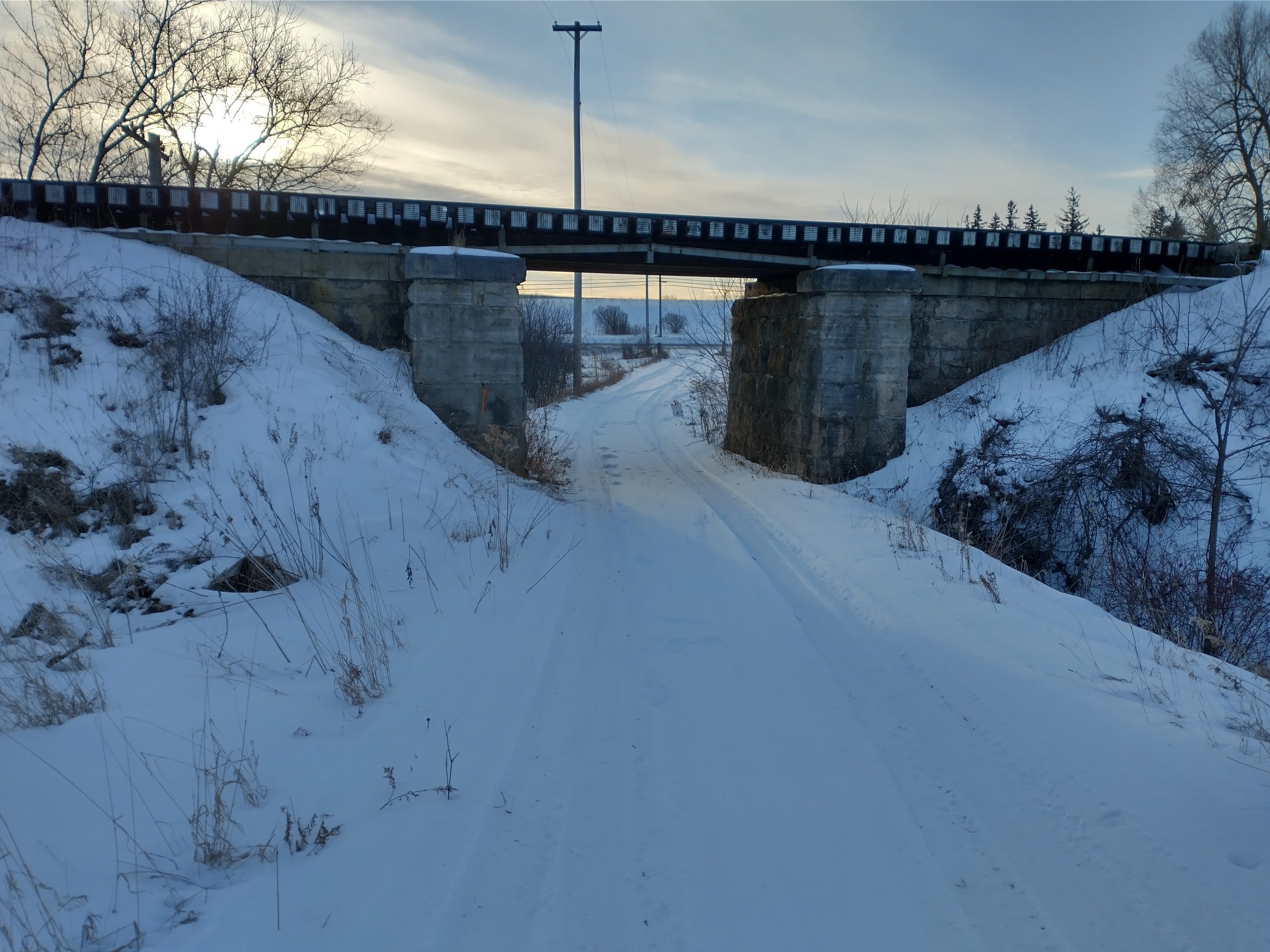
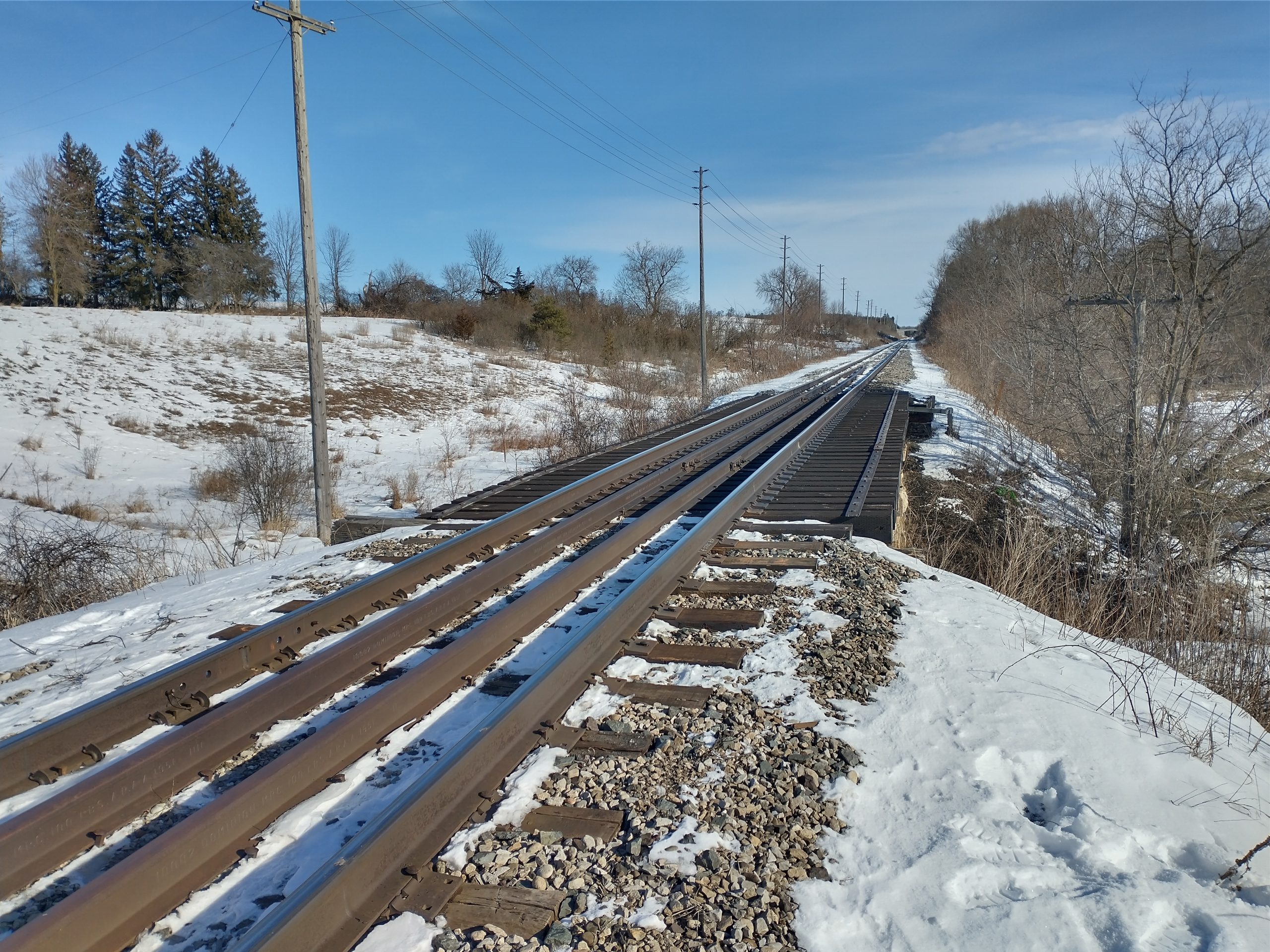
Topographic survey of rail bridge at Guelph MI. 45.50 (east of Guelph city limits), passing over a private access driveway.
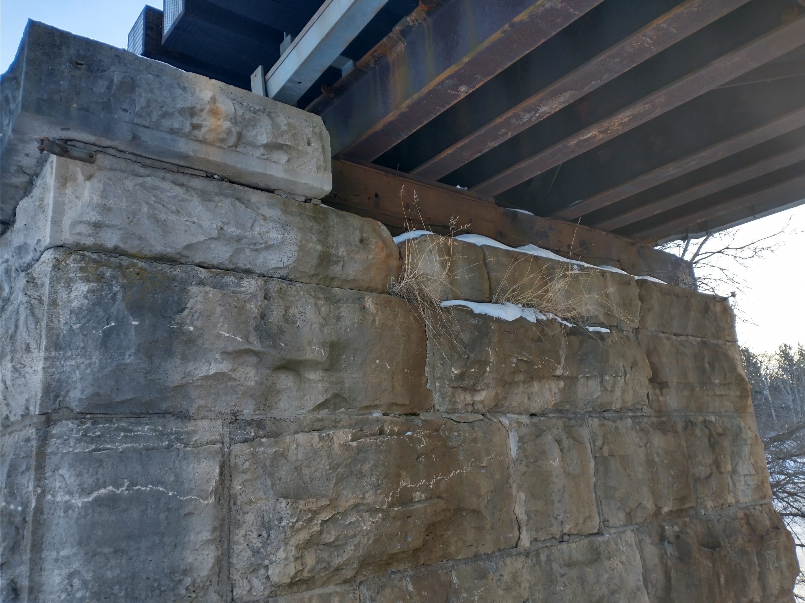
The surveyor captured top of rail, abutment geometry, top and bottom of girders, bearing seats and backwall elevations. The survey also extended to 20m beyond the backwalls in both directions to capture the embankment geometry. Locates technicians were on site at the same time as the survey to mark Metrolinx & CN-owned utility lines for inclusion in the survey.
Services Provided

GPS/Total Station
Our field teams use Leica robotic Total Stations, Leica, Trimble, and Topcon GNSS units and Leica DNA03 digital levels to provide a wide range of services for projects of any size; includes topographical surveys, construction layout, control networks, deformation monitoring, site volume calculations, as-built surveys and much more.
