About The Project
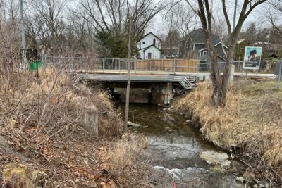
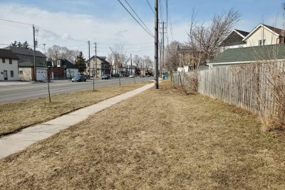
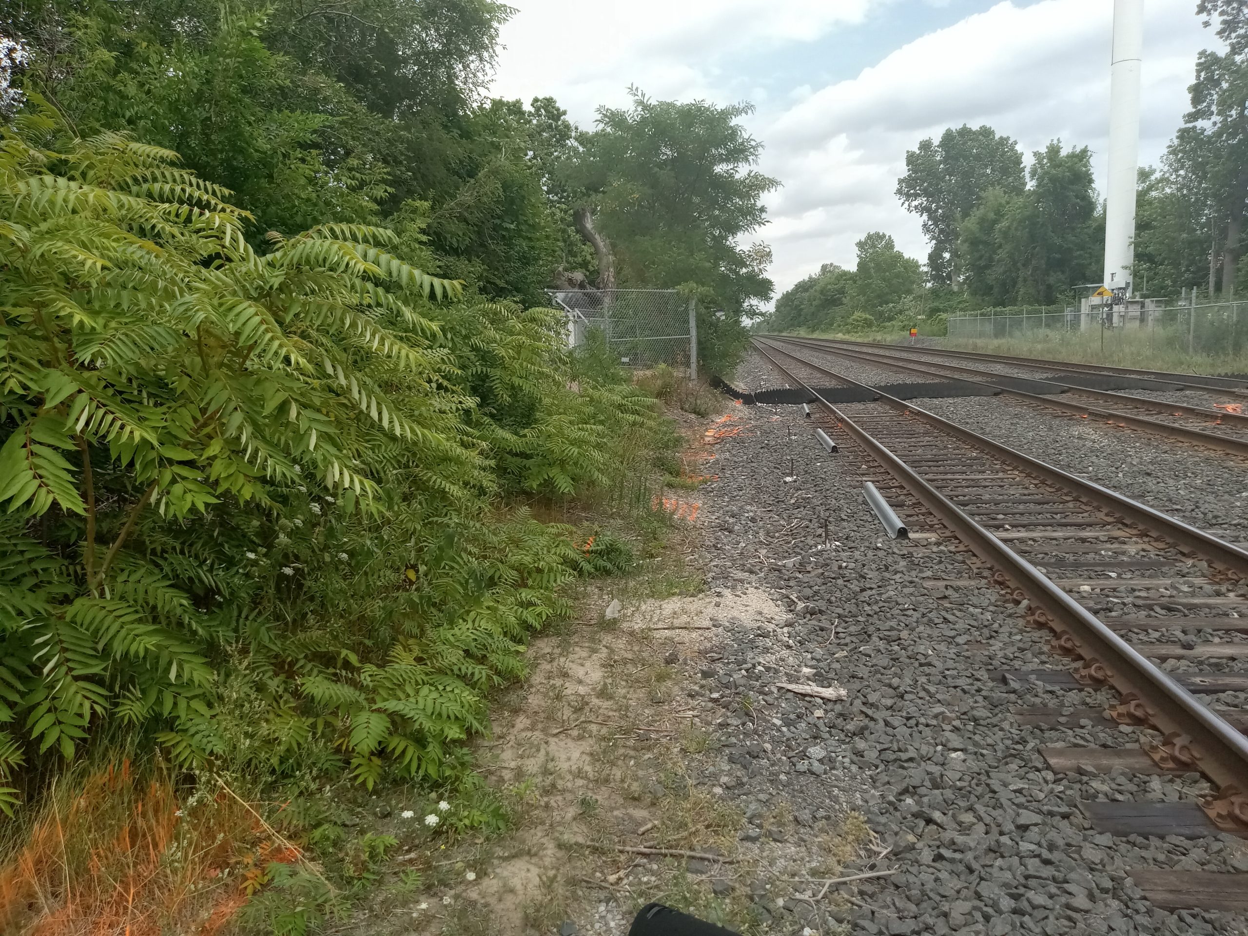
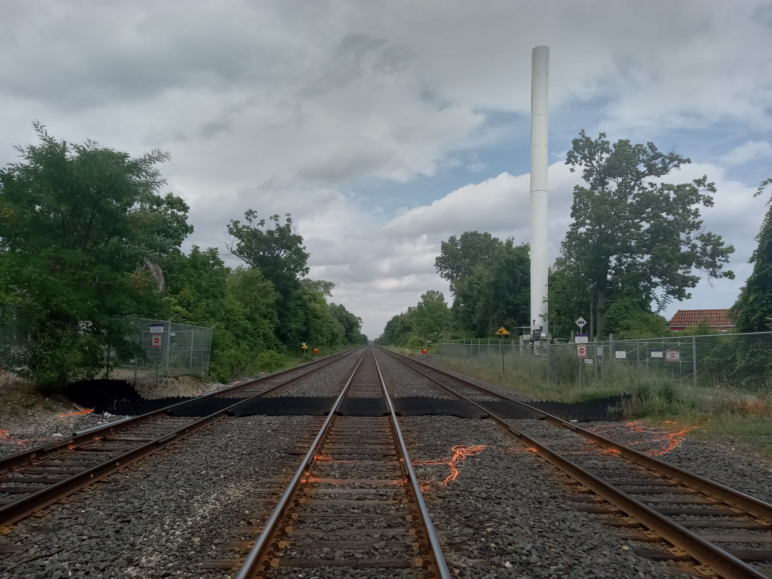
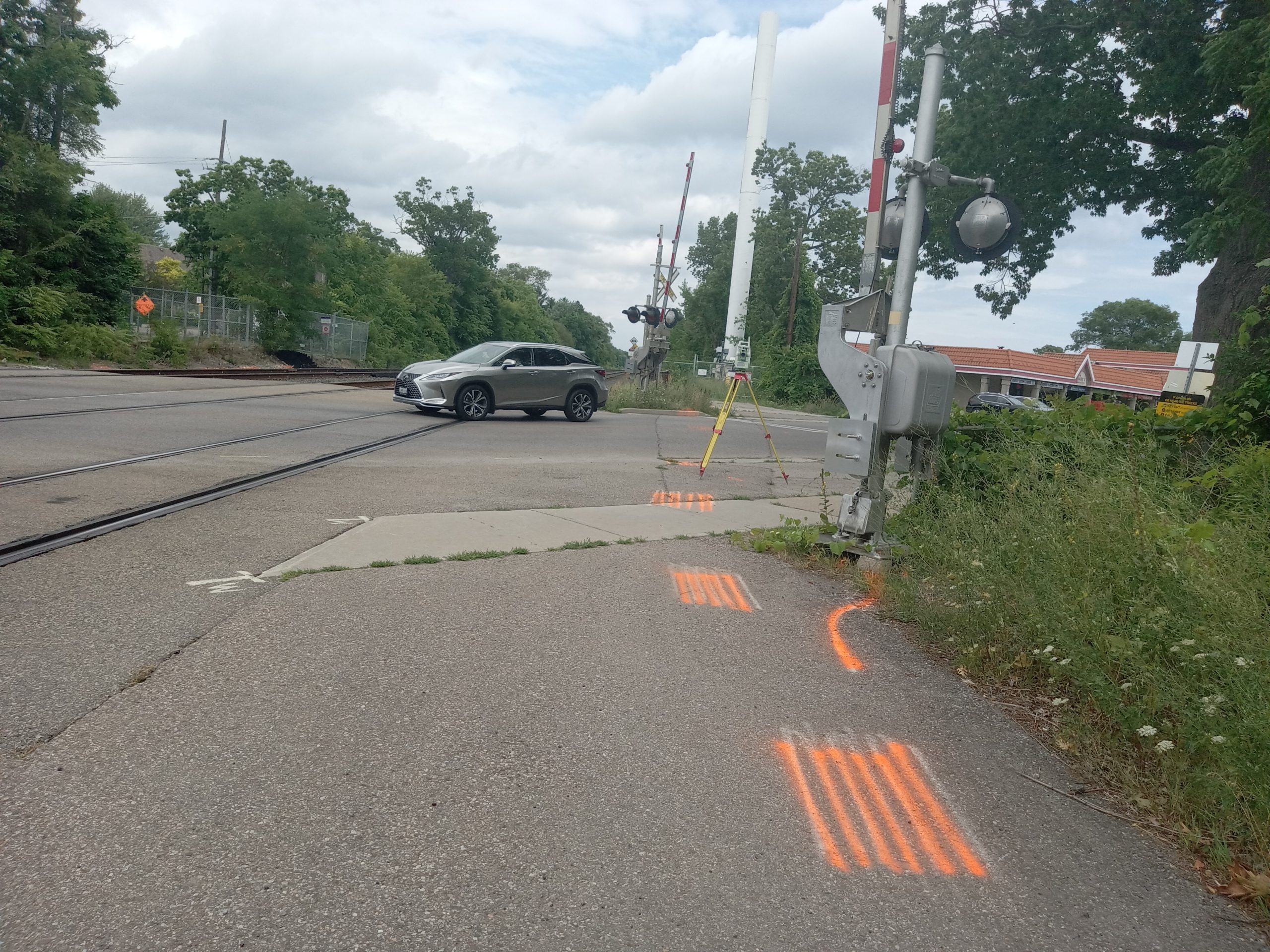
Topographic survey of level rail crossing at Lorne Park Road in Mississauga (Oakville Mi. 15.06).
In addition to the topographic survey, an SUE Level B investigation was completed at the crossing and roadway. Metrolinx-owned locates were marked during the topo survey and captured with that data.
Services Provided

GPS/Total Station
Our field teams use Leica robotic Total Stations, Leica, Trimble, and Topcon GNSS units and Leica DNA03 digital levels to provide a wide range of services for projects of any size; includes topographical surveys, construction layout, control networks, deformation monitoring, site volume calculations, as-built surveys and much more.
