About The Project
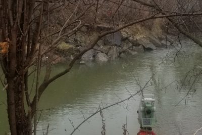
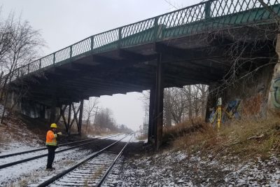
A topographic survey was completed for the north half of Malport Yard across the entire length (between Torbram & Airport in Brampton). The north survey consists of ditches and a large field area, as well as several tracks. The survey extended to partially under the Airport bridge as well (completed using total station). A smaller additional survey area consisted of the ditch running along Airport Road.
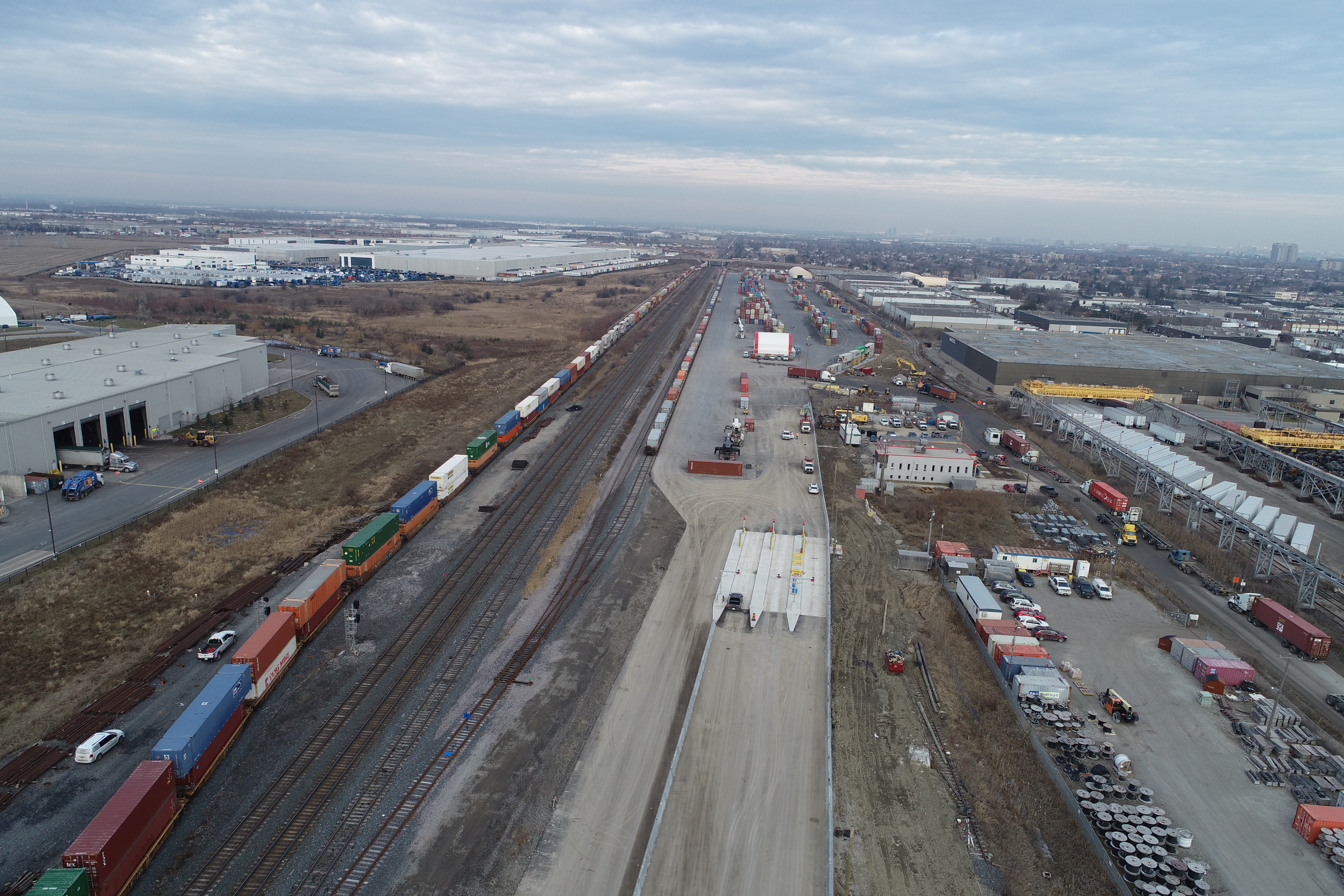
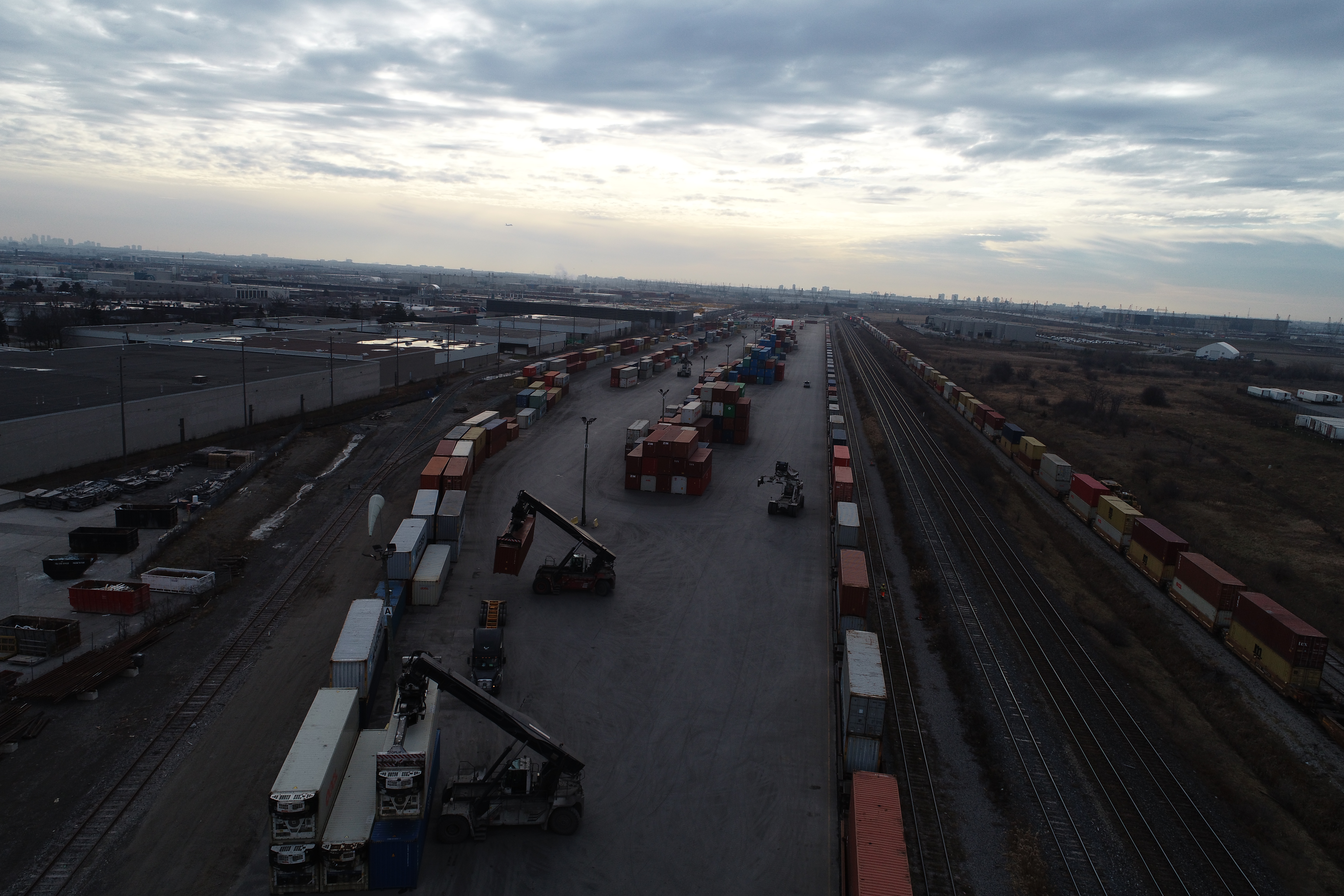
The client also requested an ortho mosaic of the site to use as a visual reference. This was completed using an aerial drone flight, referenced with GPS ground targets. The ortho photos were delivered along with CADD survey base plans of the site.
Services Provided

GPS/Total Station
Our field teams use Leica robotic Total Stations, Leica, Trimble, and Topcon GNSS units and Leica DNA03 digital levels to provide a wide range of services for projects of any size; includes topographical surveys, construction layout, control networks, deformation monitoring, site volume calculations, as-built surveys and much more.
Aerial Drone Surveying
Using unmanned fixed-wing and rotorcraft we can provide economical ways to perform aerial surveys. Our drones can be launched and sent to remote or hazardous locations to gather survey data or perform visual inspections. Using LiDAR techniques, the data can be used to provide geo-referenced results in a variety of formats.
