About The Project
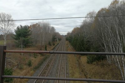
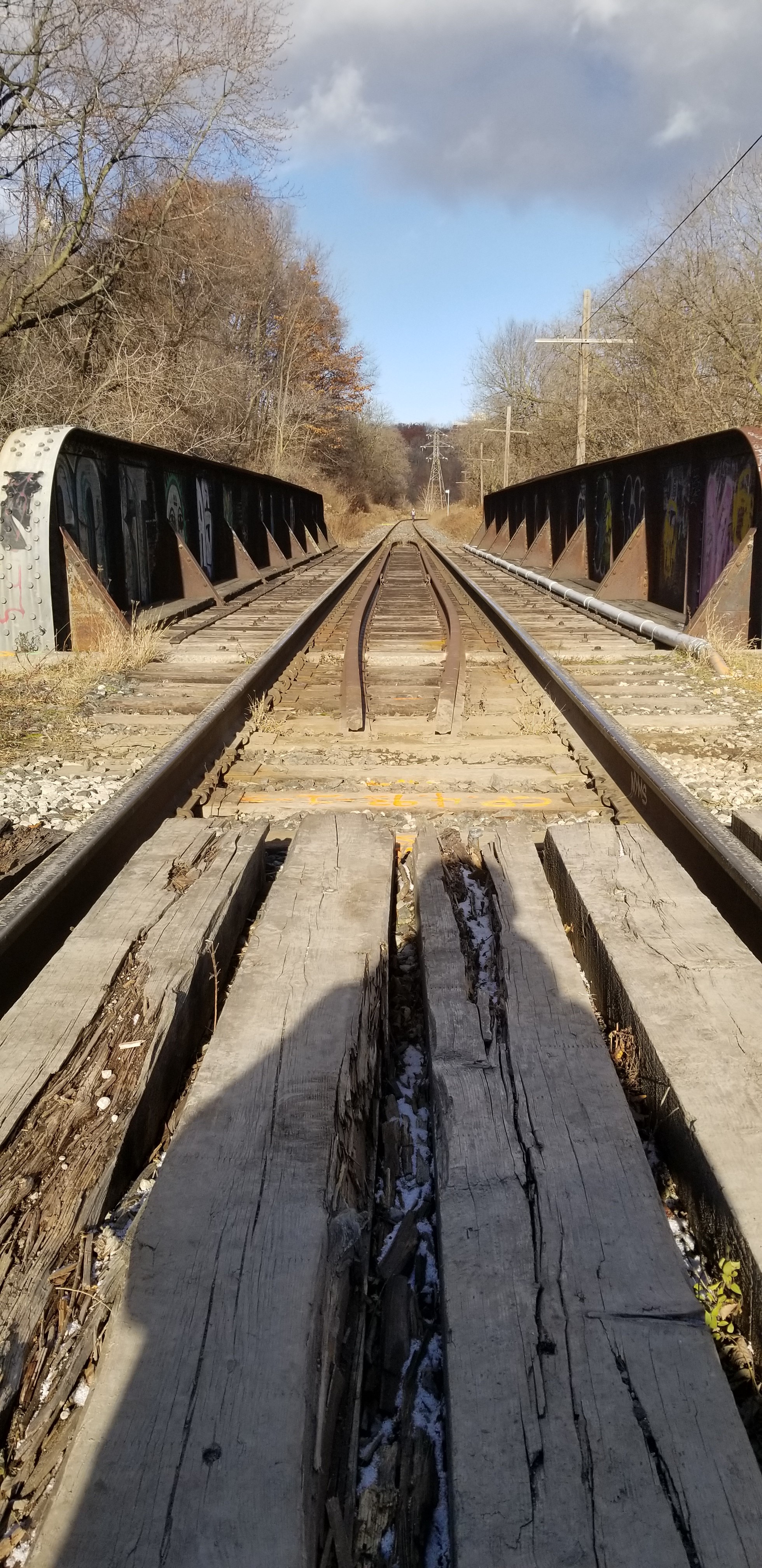
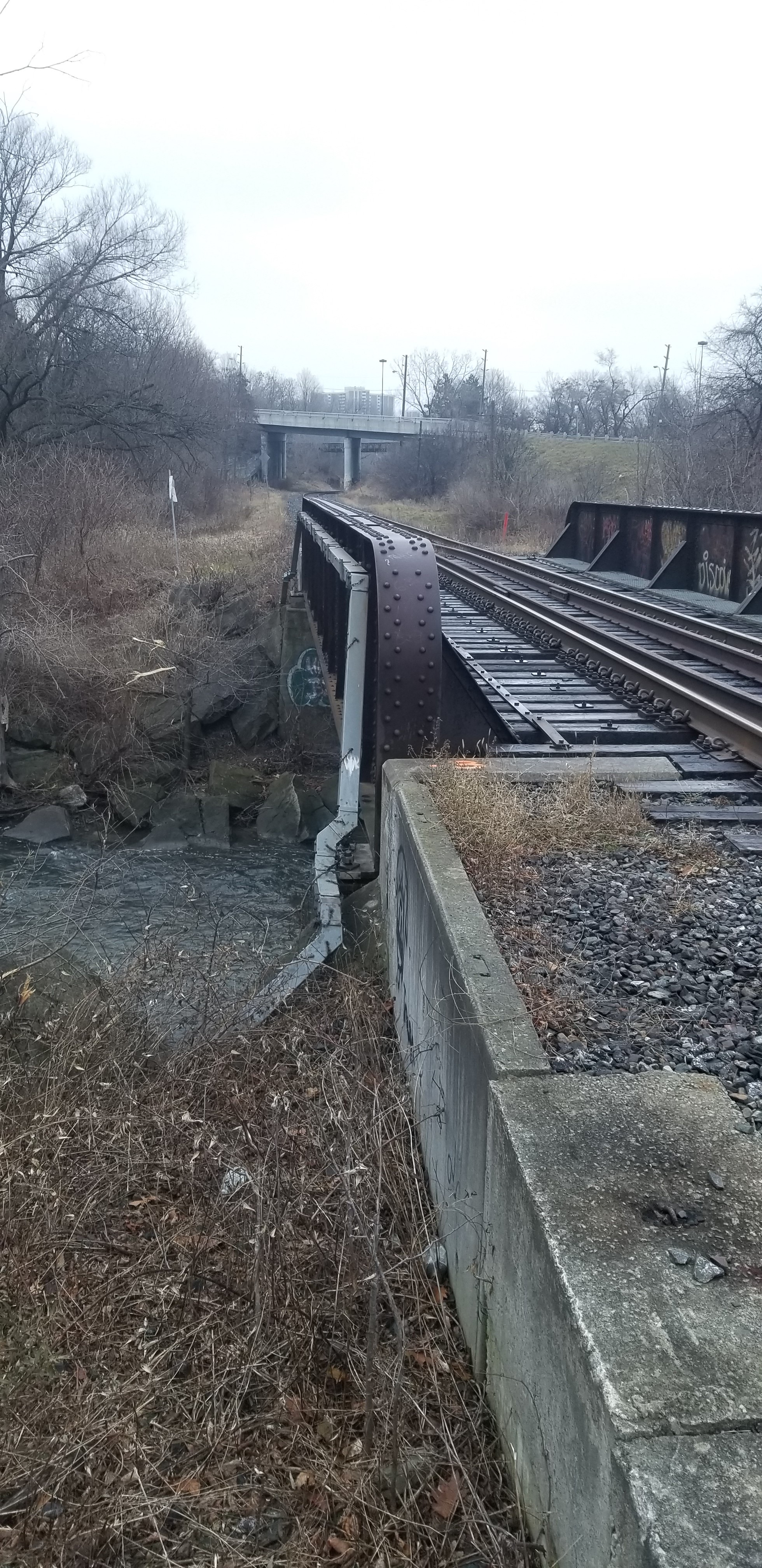
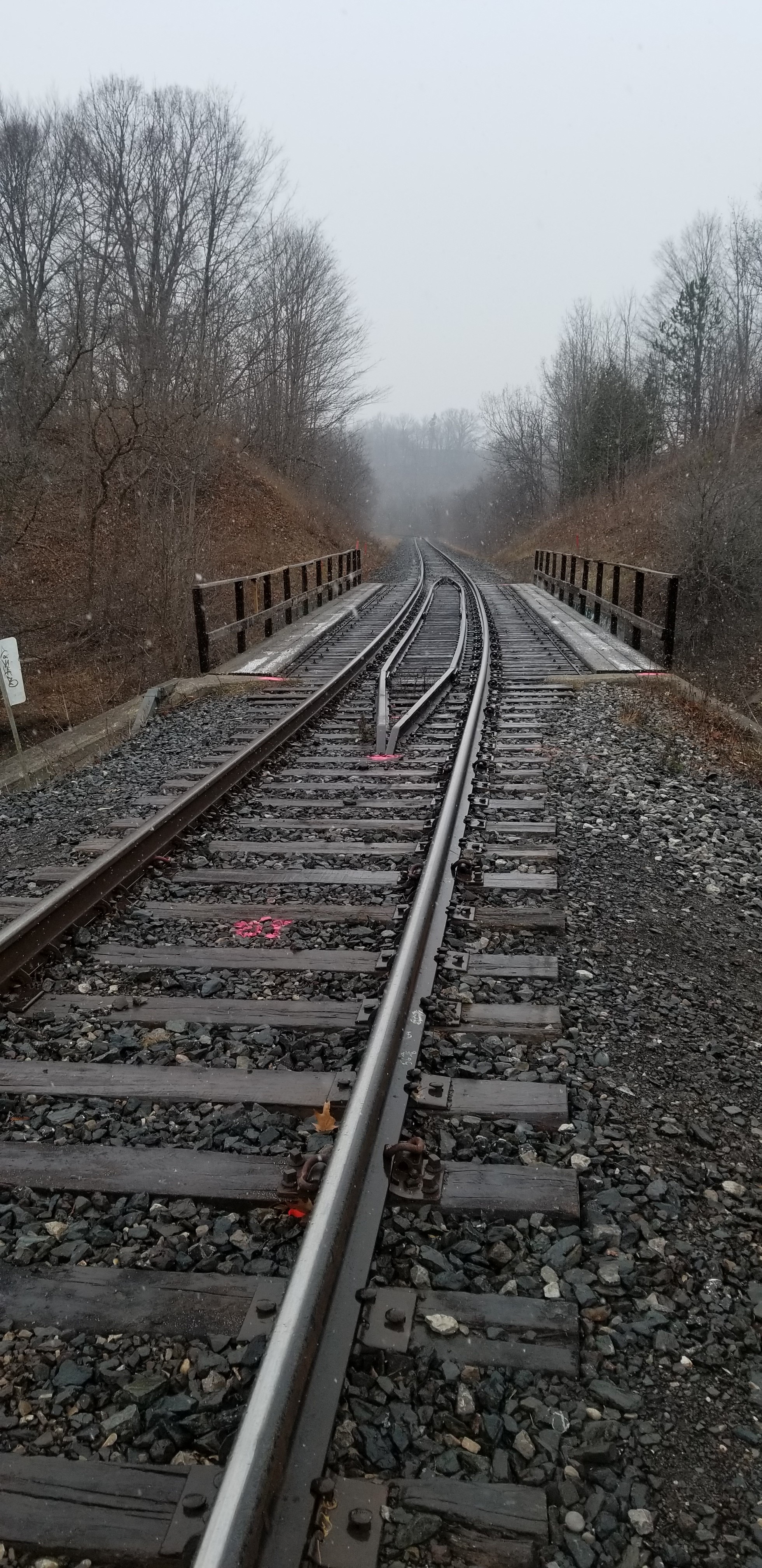
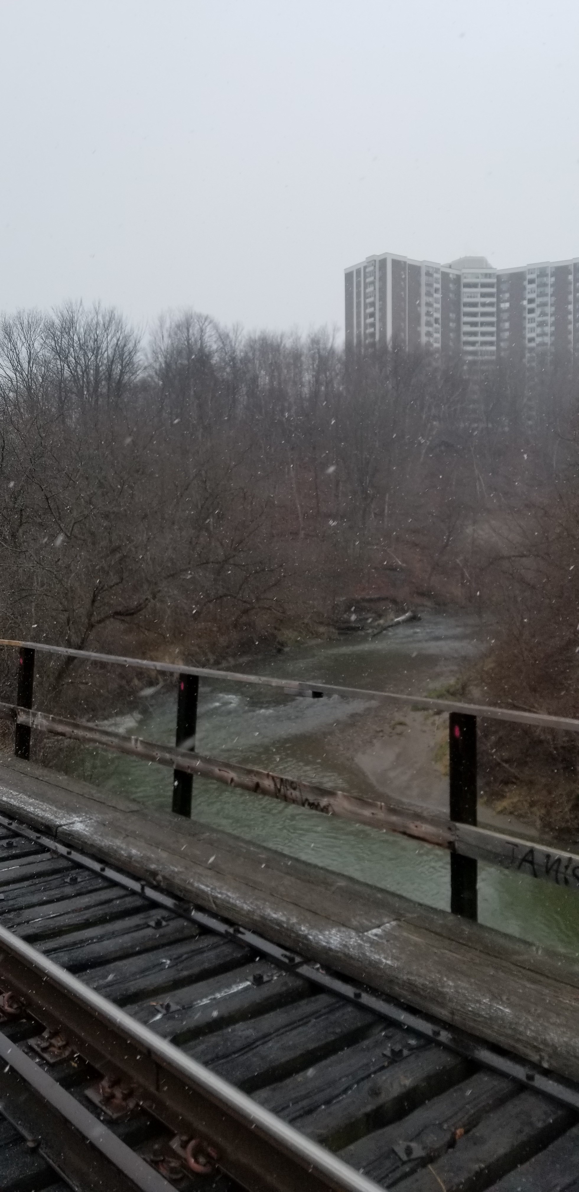
Bridge surveys were done at 4 bridges on the Bala subdivision in Toronto (4.7, 4.9, 6.4 and 7.4), including full corridor surveys 500m from either end of the bridge. Because of the close proximity between bridges 4.7 and 4.9, the entire corridor between these points was surveyed, in addition to 500m north and south of the bridge limits.
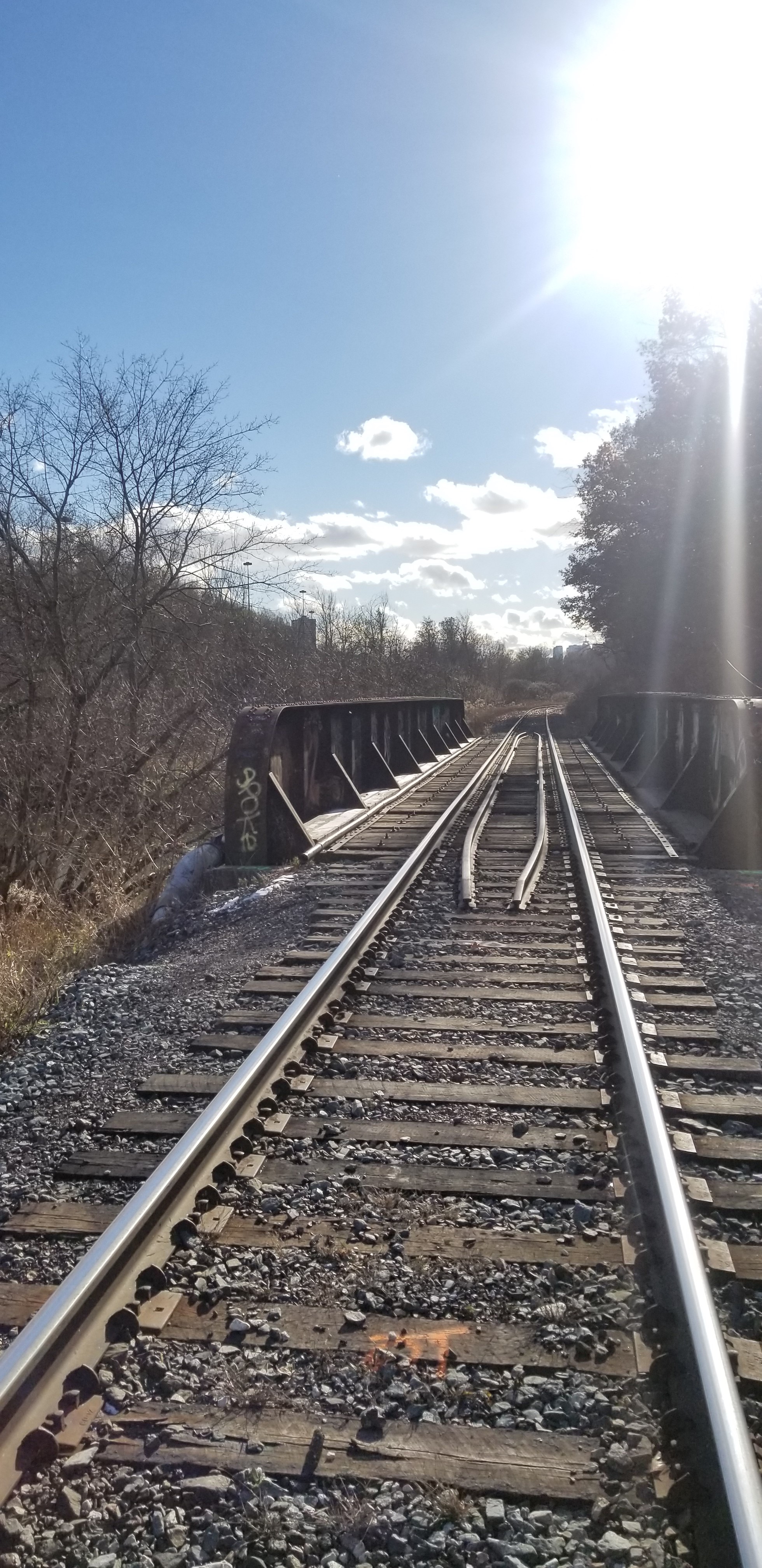
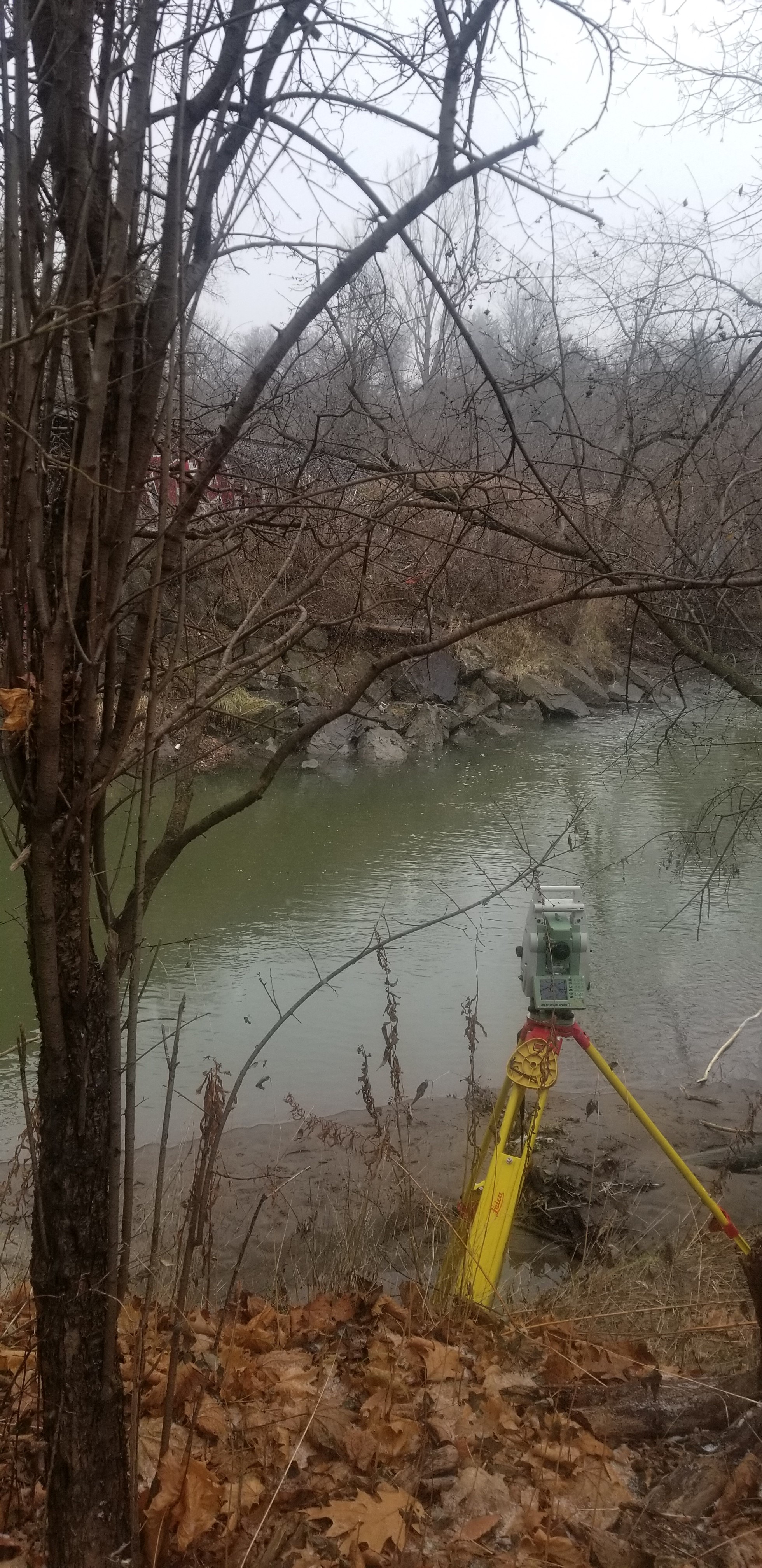
All bridges were surveyed with total station, and top of rail, bridge overpasses, culverts and wires were surveyed conventionally at each location. The corridor was surveyed with a combination of GPS and total station at all locations except for the 1km of corridor centered on bridge 6.4.
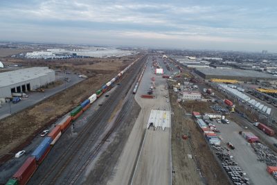
The corridor north and south of bridge 6.4 was surveyed by Lidar scanning using aerial drone flights. This method captured all of the items that would have been surveyed conventionally, including ballast, banks, overhead wires and others. After processing the Lidar point cloud, the survey linework was digitized and incorporated with the survey of the bridge, track and other items.
Points lists and CADD survey base plans were provided for each location.
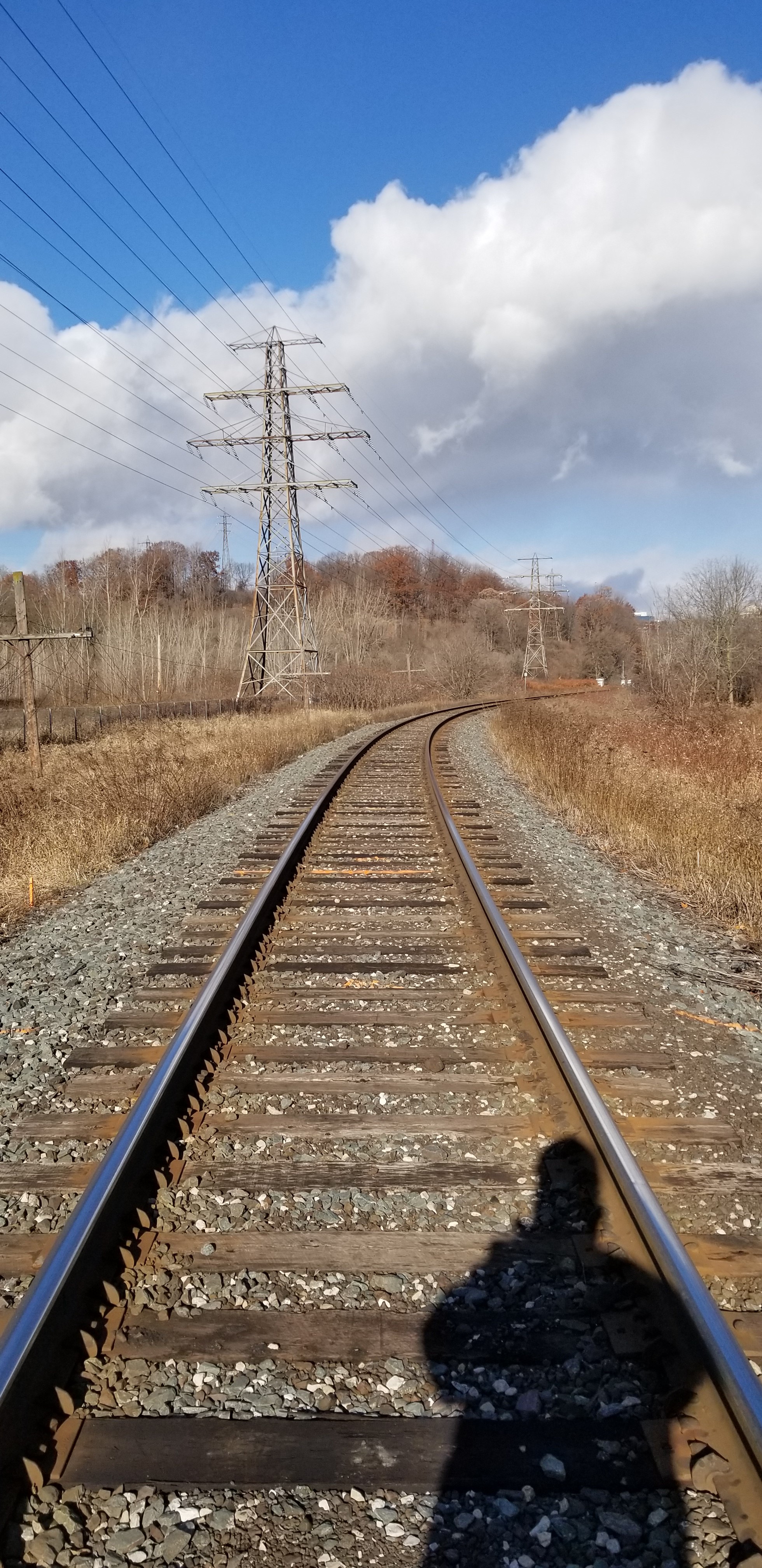
Best fit track centrelines were produced for each location using the two surveyed rails. For each curve and spiral, typical curve data was provided, including stationing, length and degree of curvature. Centreline data was provided in .XML form as well as in a .dwg file with all curve details included.
Services Provided

GPS/Total Station
Aerial Drone Surveying
