About The Project
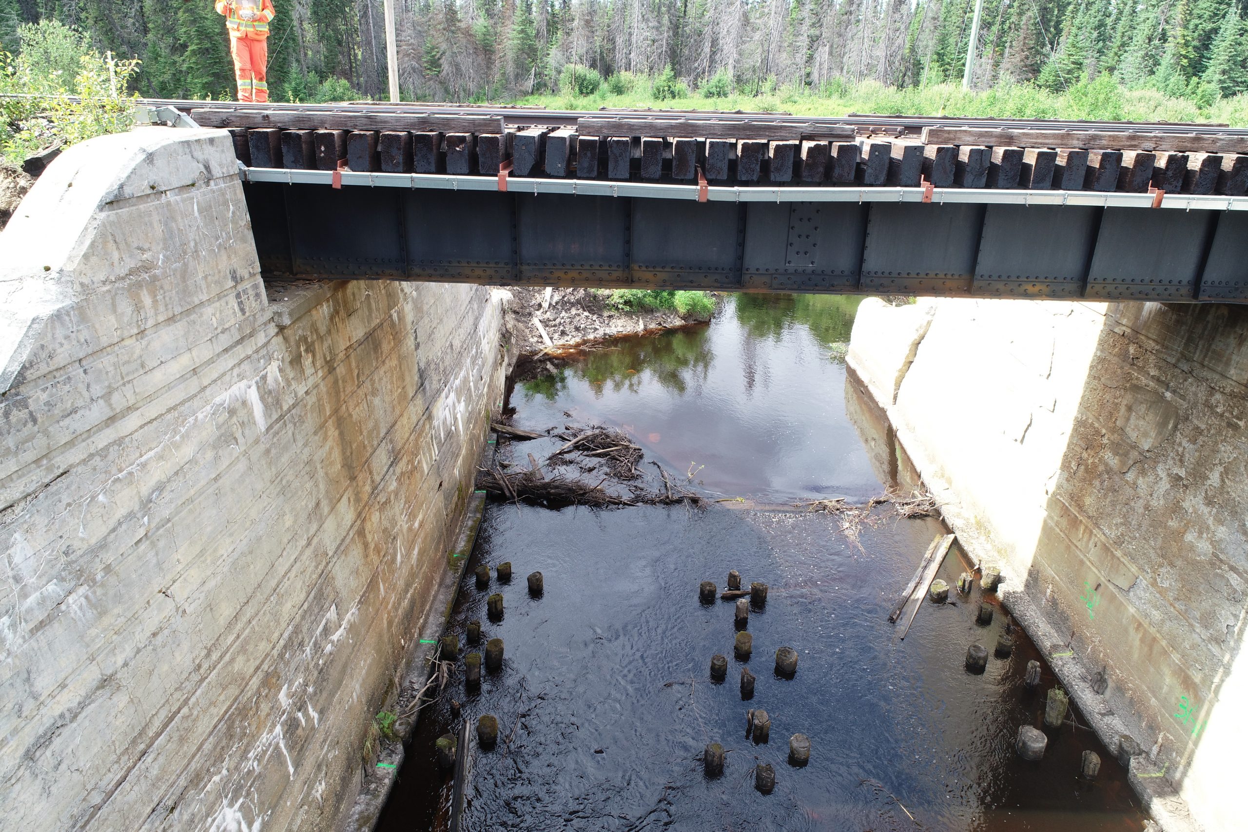
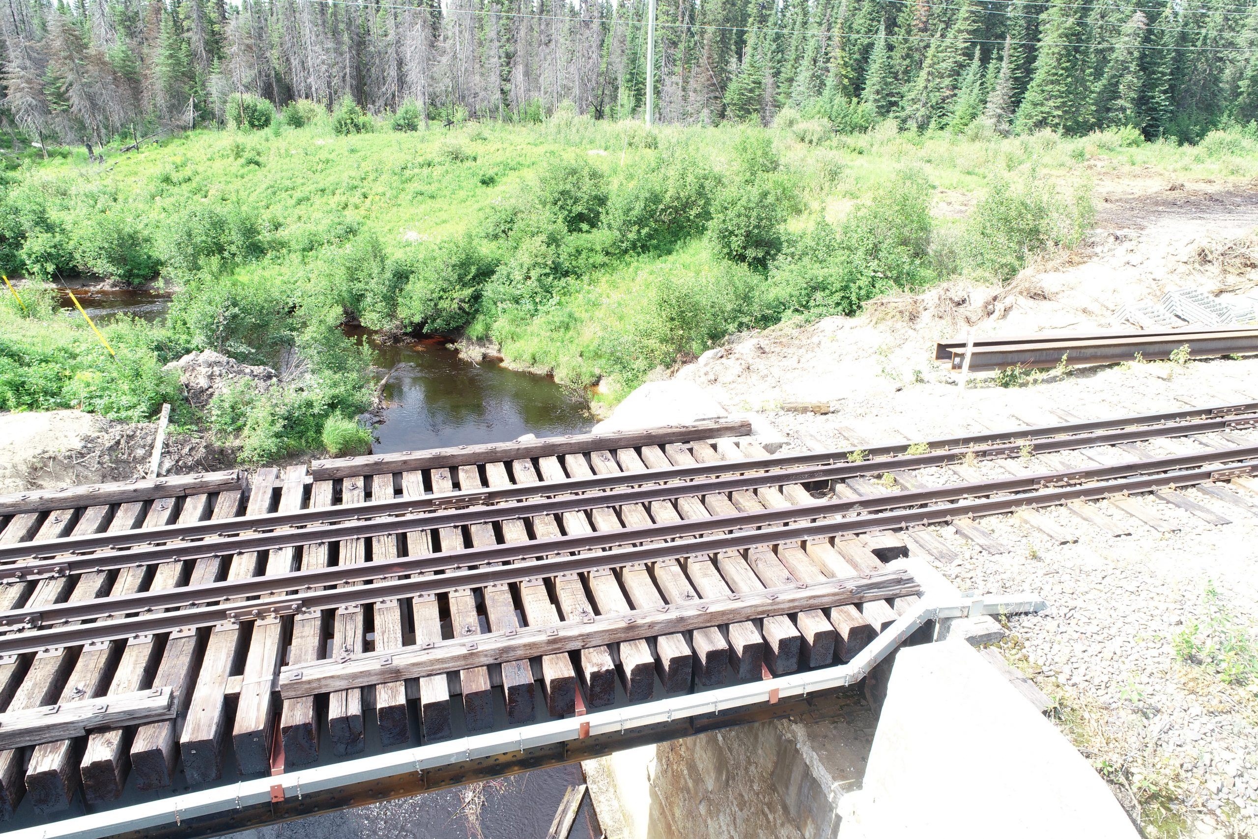
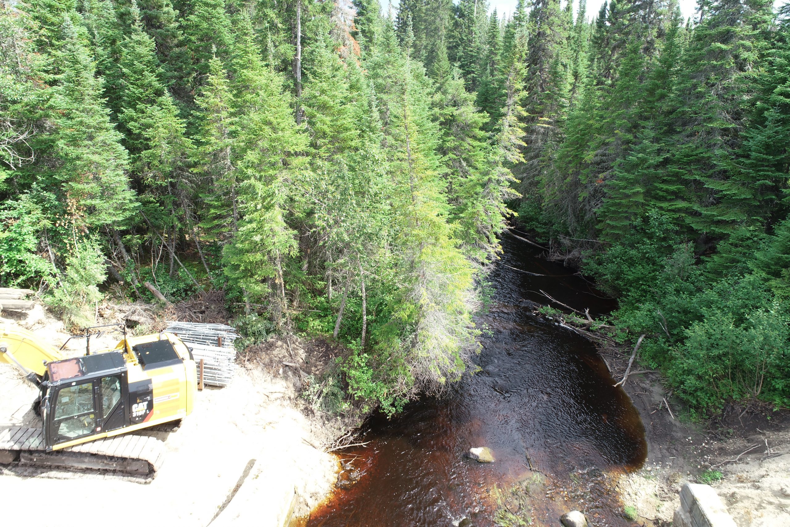
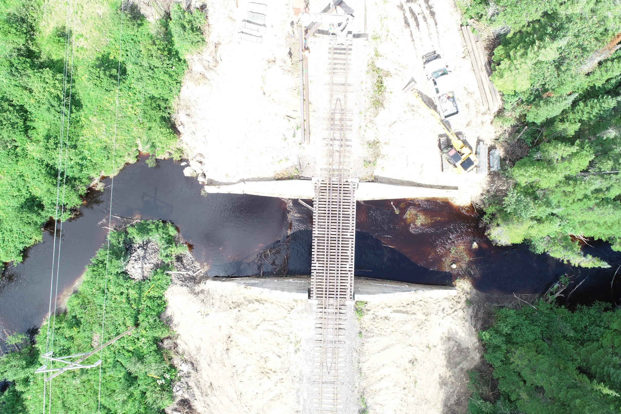
Topographic survey of rail bridge at Island Falls Mi. 166.00 (south of Moosonee). The surveyor was brought to site with a Hi-Rail vehicle from Otter Rapids, in order to complete the survey in one day without additional travel to and from Moosonee.
Services Provided

GPS/Total Station
Our field teams use Leica robotic Total Stations, Leica, Trimble, and Topcon GNSS units and Leica DNA03 digital levels to provide a wide range of services for projects of any size; includes topographical surveys, construction layout, control networks, deformation monitoring, site volume calculations, as-built surveys and much more.
