About The Project
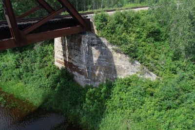
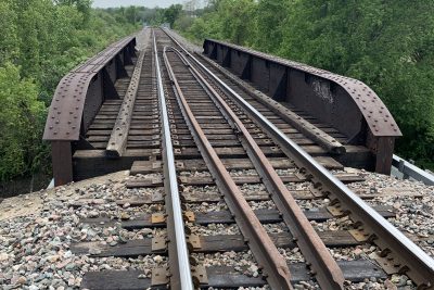
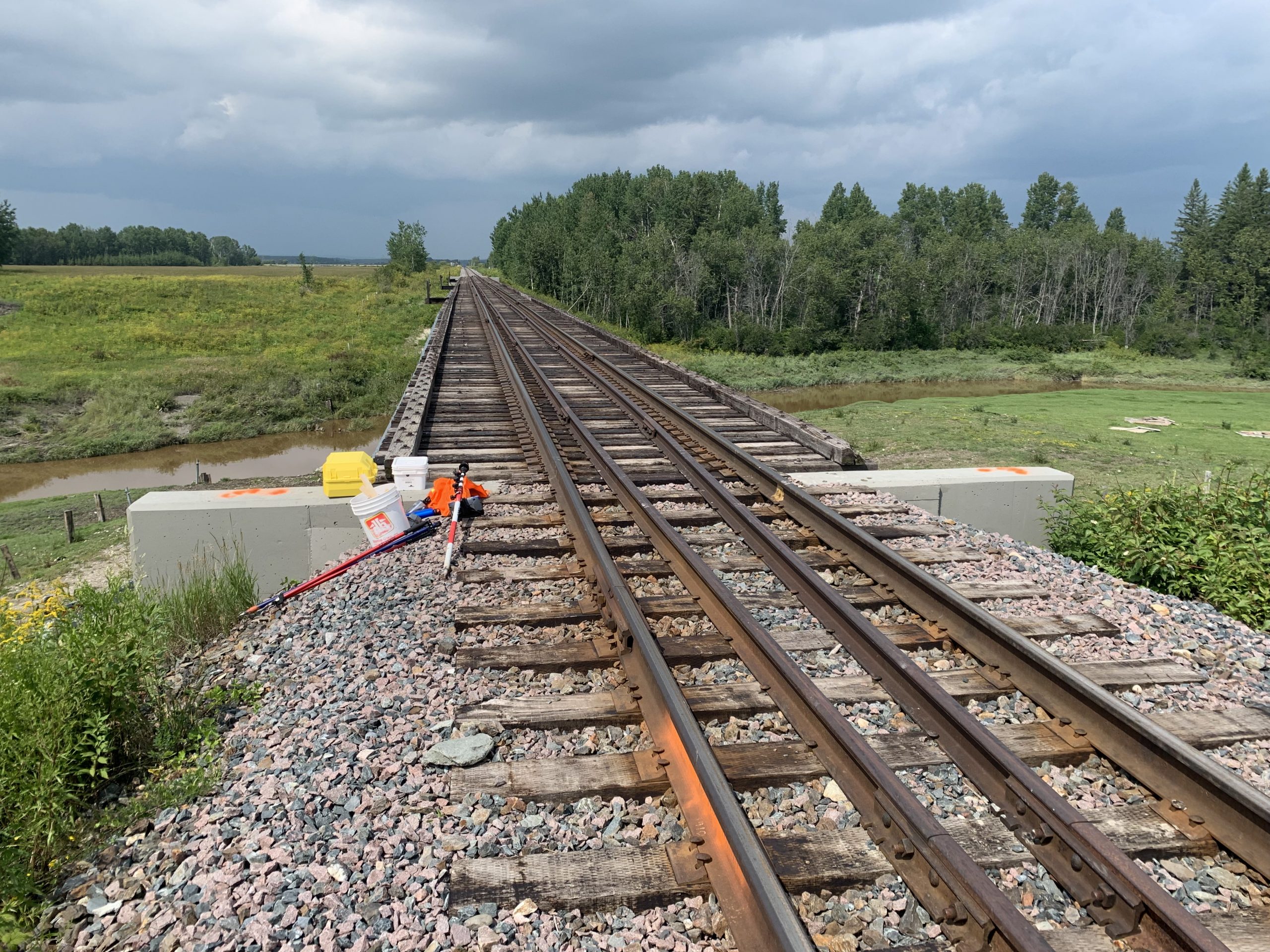
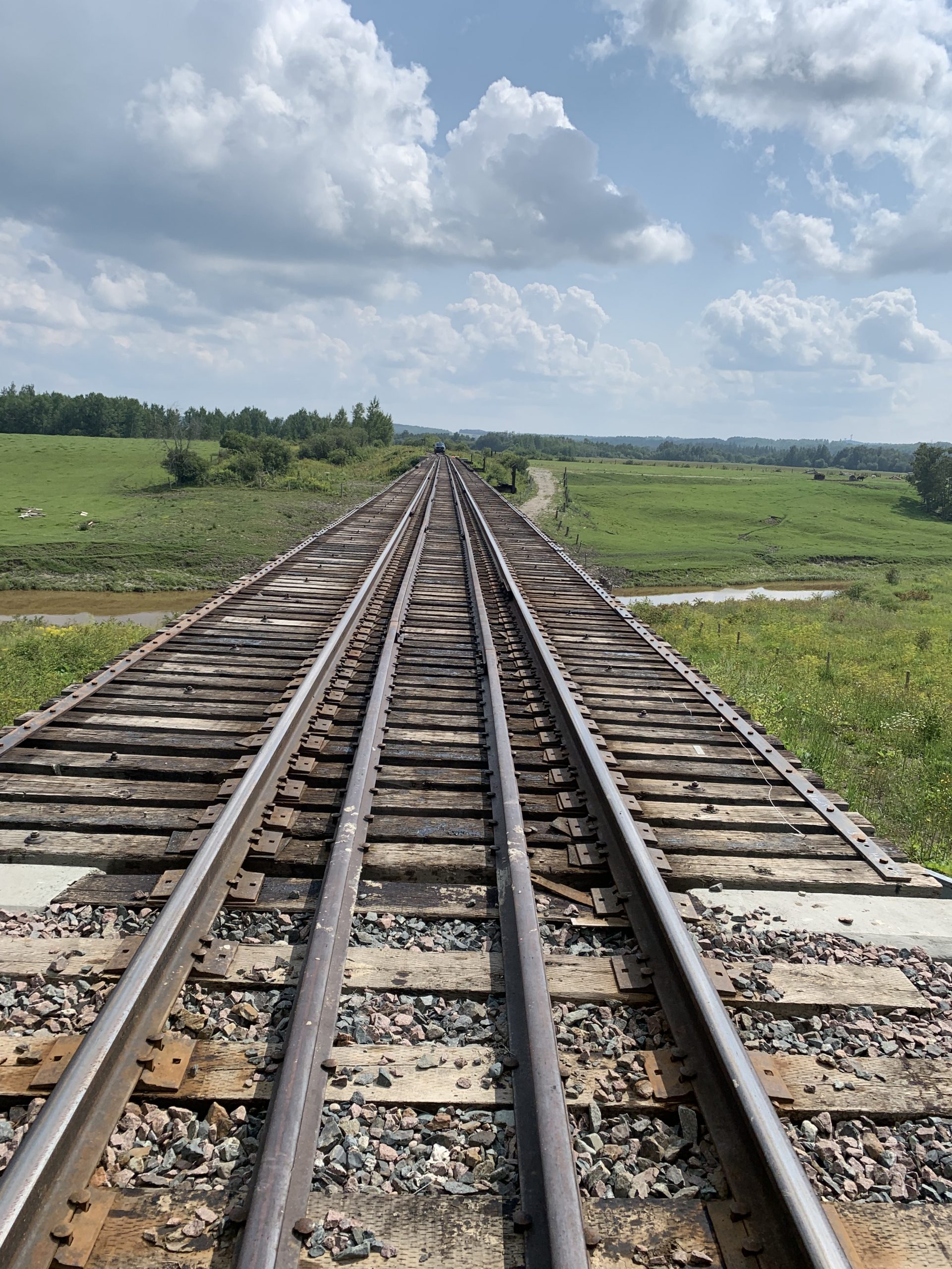
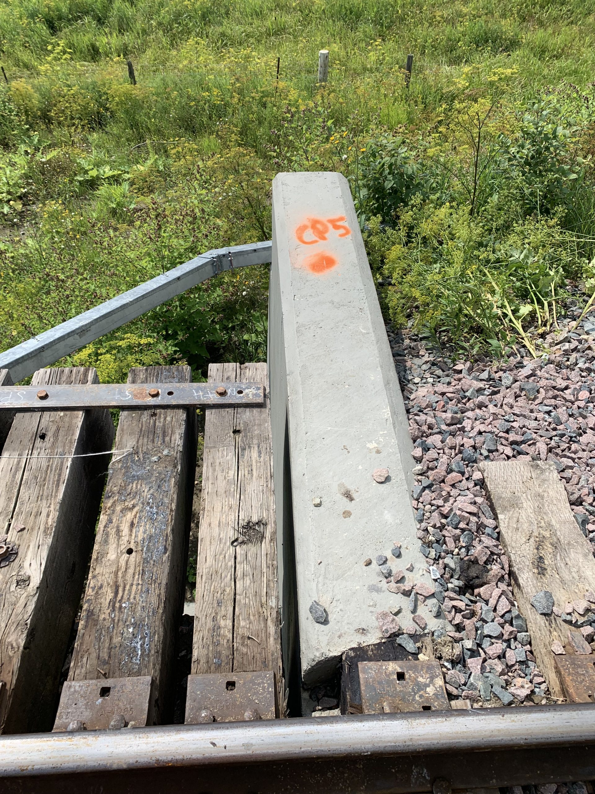
Survey of rail bridge at Temagami Mi. 119.10 (Uno Park). Surveyor captured:
-Top of rail through bridge and 500ft on both approaches
-Top of steel at each span
-Top of concrete backwalls
The client received a CAD survey base plan of the data.
Services Provided

GPS/Total Station
Our field teams use Leica robotic Total Stations, Leica, Trimble, and Topcon GNSS units and Leica DNA03 digital levels to provide a wide range of services for projects of any size; includes topographical surveys, construction layout, control networks, deformation monitoring, site volume calculations, as-built surveys and much more.
