About The Project
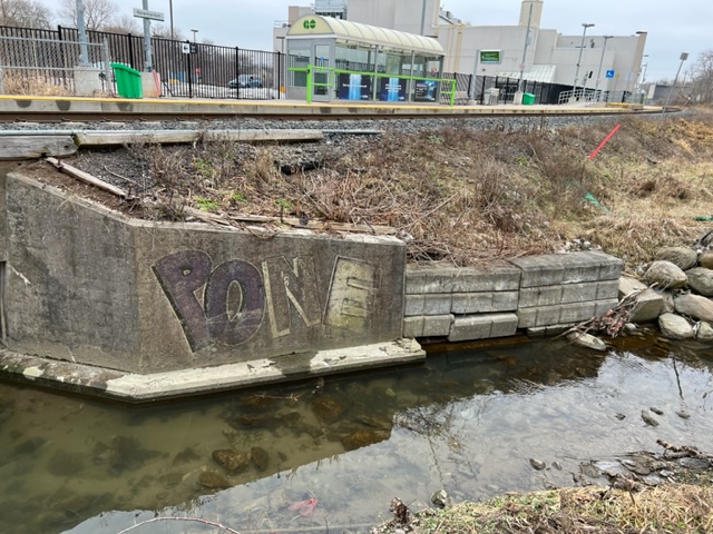
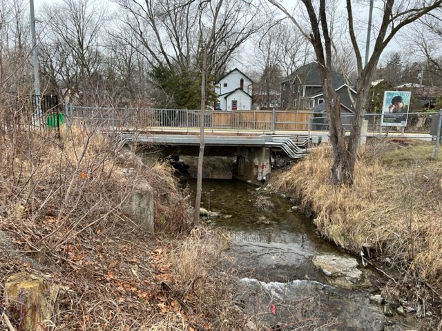
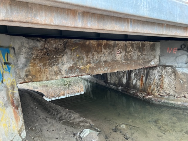
Topographic survey of bridge structure at Newmarket Mi. 34.30 (Newmarket GO Station). The bridge carried the platform and mainline track over a small creek. In addition to the track-level survey, the 2-person team on site also captured the structural elements of the bridge (backwalls, underside of concrete supports, etc). On both sides of the bridge, cross sections were taken within the creek.
Services Provided

GPS/Total Station
Our field teams use Leica robotic Total Stations, Leica, Trimble, and Topcon GNSS units and Leica DNA03 digital levels to provide a wide range of services for projects of any size; includes topographical surveys, construction layout, control networks, deformation monitoring, site volume calculations, as-built surveys and much more.

Bathymetric Surveys
Using watercraft with inter-linked GPS and sonar technologies, Groma offers precise mapping for underwater terrain. Contour maps and terrain models can be developed from the spatial data collected to perform channel flow calculations and other hydrological studies.
